|
Maresha
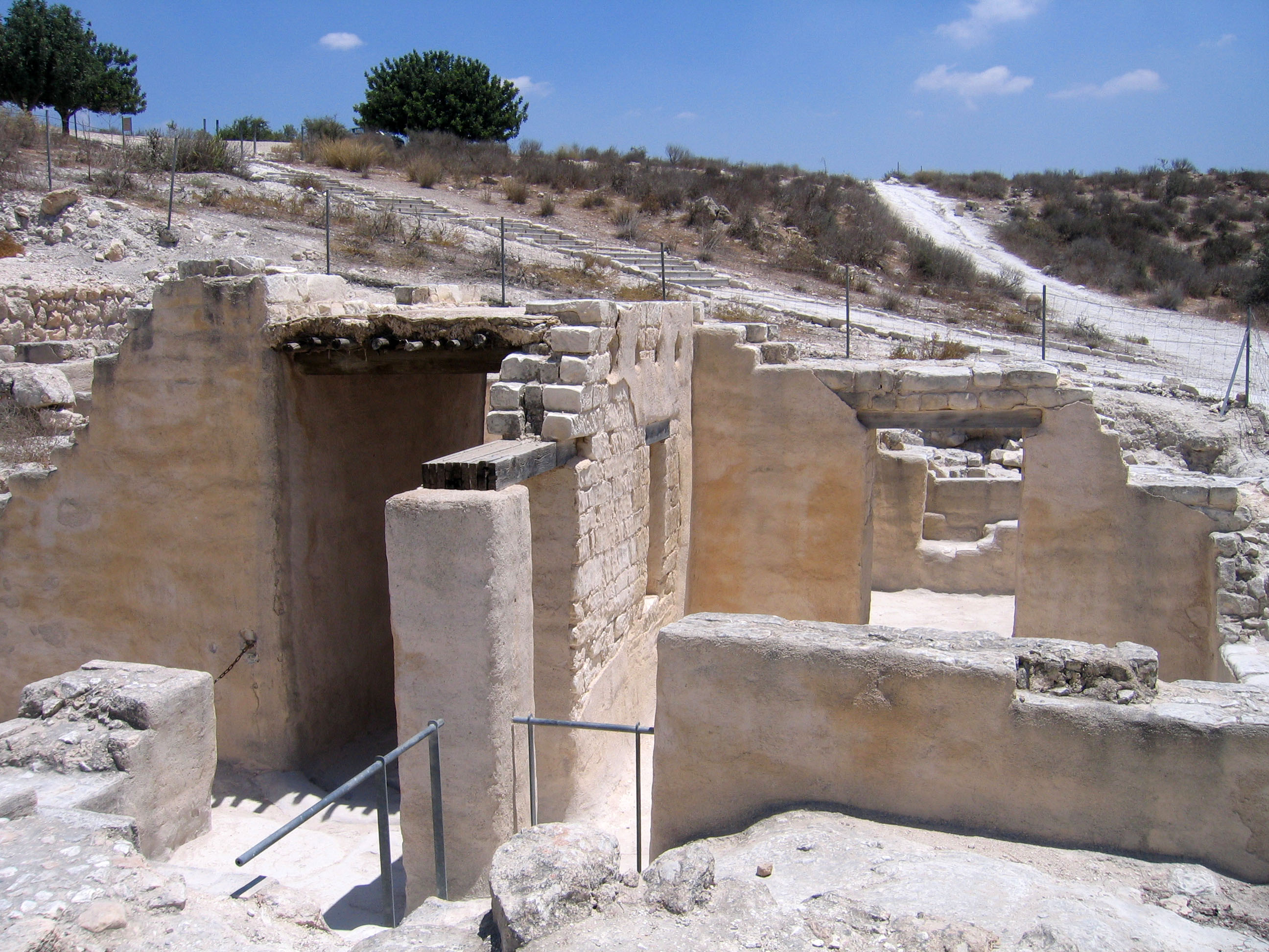
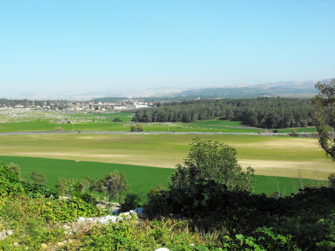
Tel Maresha ( he, תל מראשה) is the tell (archaeological mound) of the biblical Iron Age city of Maresha, and of the subsequent, post-586 BCE Idumean city known by its Hellenised name Marisa, Arabised as Marissa (ماريسا). The tell is situated in Israel's Shephelah region, i.e. in the foothills of the Judaean Mountains, about southeast of Beit Gubrin. It was first excavated in 1898-1900 by the British archaeologists Bliss and Macalister on behalf of the Palestine Exploration Fund and again after 1989 by Israeli archaeologist Amos Kloner on behalf of the Israel Antiquities Authority. Most of the artifacts of the British excavation are to be found today in the Istanbul Archaeology Museums. This site is now protected as part of Beit Guvrin-Maresha National Park and recognized by UNESCO as a World Heritage Site. Identification The location of Maresha in relation to Eleutheropolis (Beit Gubrin) has been noted by Eusebius in his ''Onomasticon (Eusebius), Onomasticon'', ... [...More Info...] [...Related Items...] OR: [Wikipedia] [Google] [Baidu] |
Beit Guvrin-Maresha National Park
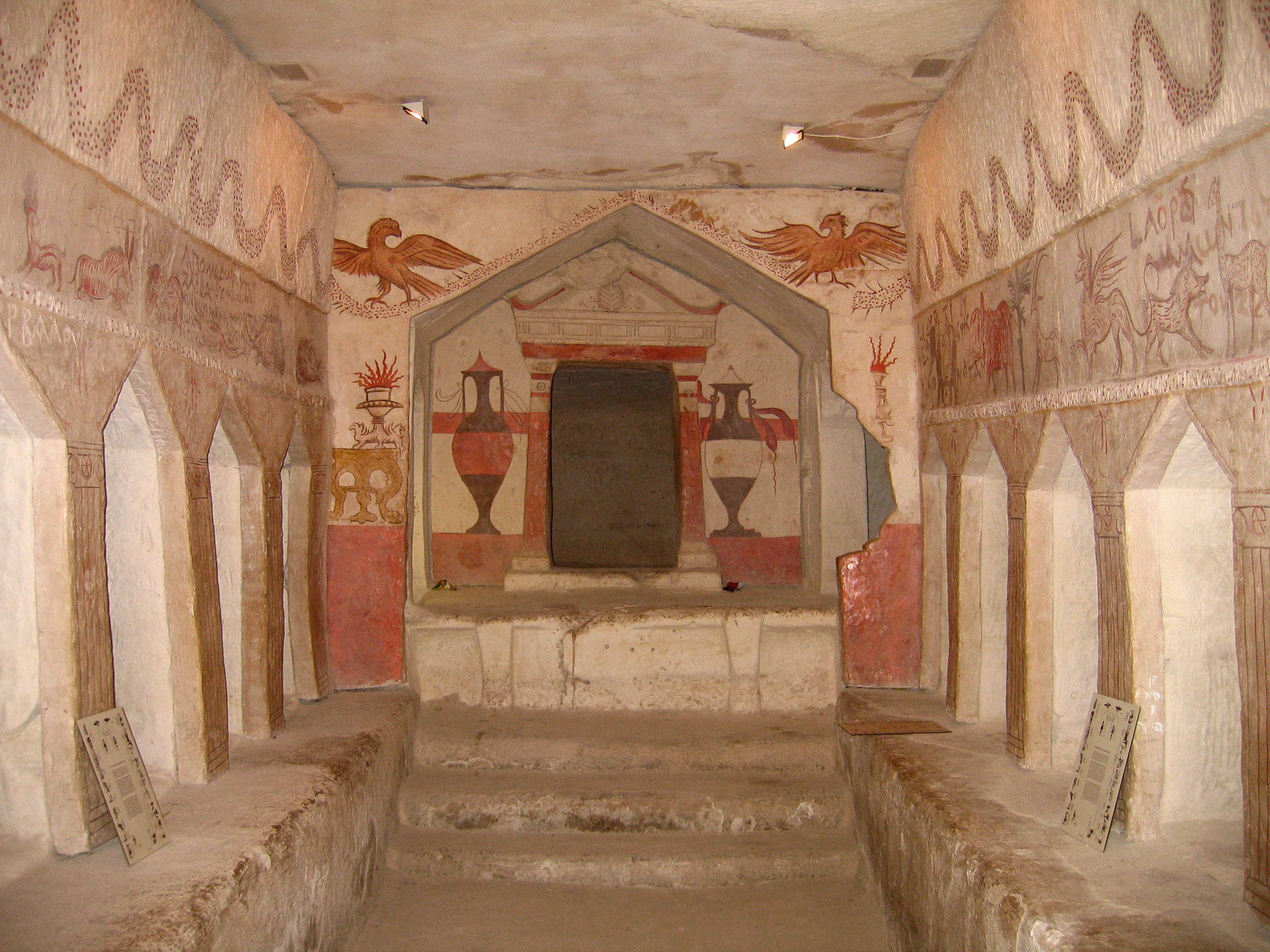
Beit Guvrin-Maresha National Park is a national park in central Israel, recognized by UNESCO as a World Heritage Site. It is located 13 kilometers from Kiryat Gat and encompasses the ruins of Maresha, one of the important towns of Kingdom of Judah, Judah during the History of ancient Israel and Judah, First Temple Period, and Eleutheropolis, Beit Guvrin, an important town in the Roman era, when it was known as Eleutheropolis. Archaeological artifacts unearthed at the site include a large Jewish cemetery, a Roman-Byzantine amphitheater, a Byzantine church, public baths, mosaics and burial caves. History The earliest written record of Maresha was as a city in ancient Tribe of Judah, Judah (Joshua 15:44). The Hebrew Bible mentions among other episodes that Rehoboam fortified it against Egyptian attack. After the destruction of the Kingdom of Judah the city of Maresha became part of the Edomite kingdom. In the late Persian period a Sidonian community settled in Maresha, and the cit ... [...More Info...] [...Related Items...] OR: [Wikipedia] [Google] [Baidu] |
Beit Guvrin National Park
Beit Guvrin-Maresha National Park is a national park in central Israel, recognized by UNESCO as a World Heritage Site. It is located 13 kilometers from Kiryat Gat and encompasses the ruins of Maresha, one of the important towns of Judah during the First Temple Period, and Beit Guvrin, an important town in the Roman era, when it was known as Eleutheropolis. Archaeological artifacts unearthed at the site include a large Jewish cemetery, a Roman-Byzantine amphitheater, a Byzantine church, public baths, mosaics and burial caves. History The earliest written record of Maresha was as a city in ancient Judah (Joshua 15:44). The Hebrew Bible mentions among other episodes that Rehoboam fortified it against Egyptian attack. After the destruction of the Kingdom of Judah the city of Maresha became part of the Edomite kingdom. In the late Persian period a Sidonian community settled in Maresha, and the city is mentioned in the Zenon Papyri (259 BC). During the Maccabean Revolt, Maresha wa ... [...More Info...] [...Related Items...] OR: [Wikipedia] [Google] [Baidu] |
Bayt Jibrin
Bayt Jibrin or Beit Jibrin ( ar, بيت جبرين; he, בית גוברין, translit=Beit Gubrin) was a Palestinians, Palestinian village located northwest of the city of Hebron. The village had a total land area of 56,185 dunams or , of which were built-up while the rest remained farmland.''Village Statistics'', Government of Palestine. 1945. Quoted in Hadawi, 1970, p143 During the 8th century BCE, the village, then known as Maresha, was part of the Kingdom of Judah. During the days of Herod the Great, a Jews, Jewish ruler of the Herodian Kingdom of Judea, Herodian Kingdom, the town was the administrative center for the district of Edom#Classical Idumaea, Idumea. After the turmoil of the First Jewish–Roman War and the Bar Kokhba revolt, the town became a thriving Colonia (Roman), Roman colony and a major administrative centre of the Roman Empire under the name of Eleutheropolis. With the rise of Islam in the early 7th century CE, Bayt Jibrin was conquered by Rashidu ... [...More Info...] [...Related Items...] OR: [Wikipedia] [Google] [Baidu] |
Eleutheropolis
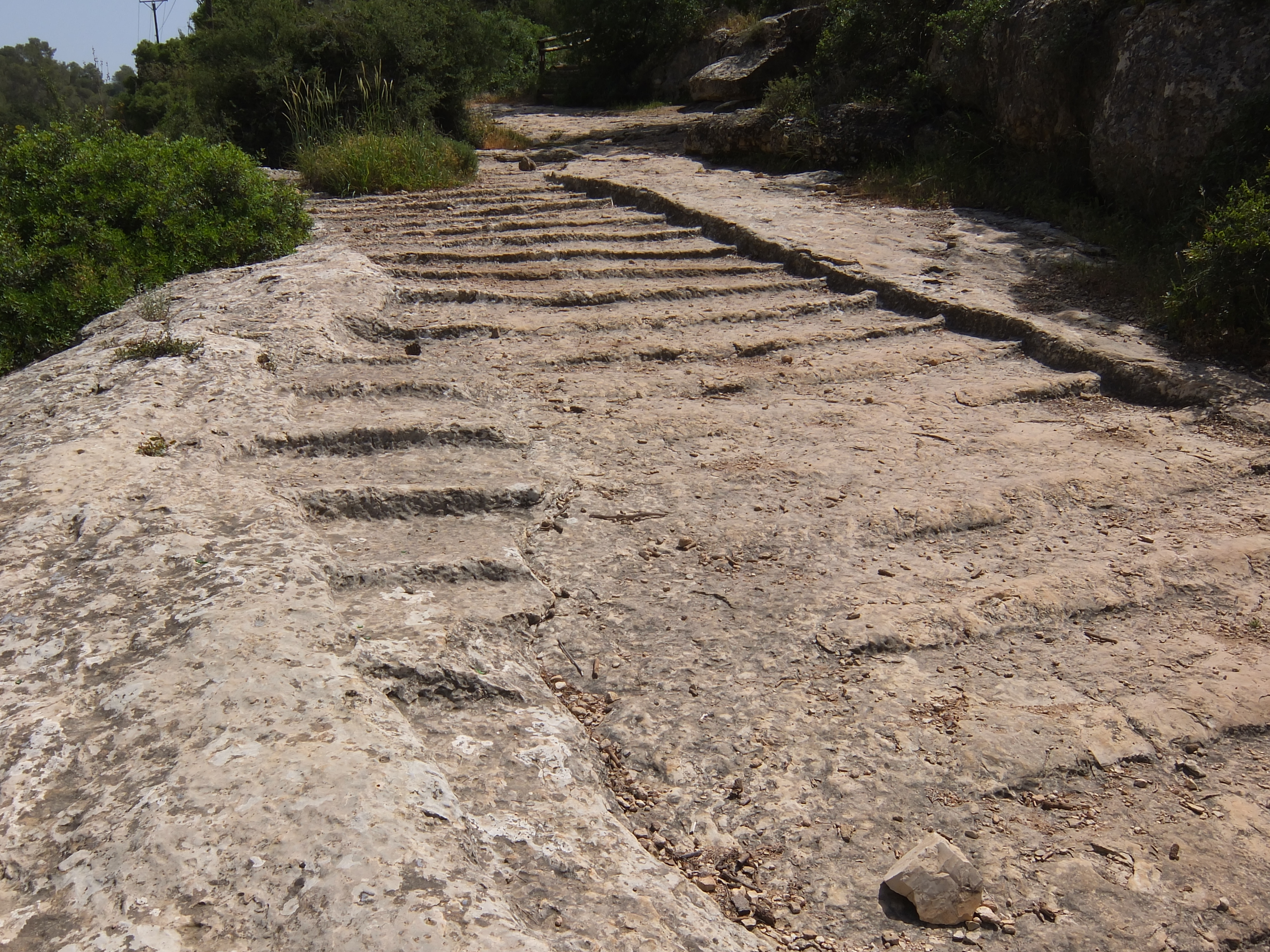
Eleutheropolis (Greek, Ἐλευθερόπολις, "Free City"; ar, إليوثيروبوليس; in Hebrew, בית גוברין, Beit Gubrin) was a Roman and Byzantine city in Syria Palaestina, some 53 km southwest of Jerusalem. After the Muslim conquests, it became known as Bayt Jibrin or Jubrin (بيت جبرين). Depopulated during the 1948 Arab–Israeli War, its remains still straddle the ancient road connecting Jerusalem to Gaza, and are now located within the Beit Guvrin-Maresha National Park. Name The city was originally known in Aramaic as Beth Gabra, which translates as the "house of strong men".Sharon, 1997, p.109 Ptolemy referred to it as Baitogabra, ... [...More Info...] [...Related Items...] OR: [Wikipedia] [Google] [Baidu] |
Idumaea
Edom (; Edomite: ; he, אֱדוֹם , lit.: "red"; Akkadian: , ; Ancient Egyptian: ) was an ancient kingdom in Transjordan, located between Moab to the northeast, the Arabah to the west, and the Arabian Desert to the south and east.Negev & Gibson (ed.), 2001, ''Edom; Edomites'', pp. 149–150 Most of its former territory is now divided between present-day southern Israel and Jordan. Edom appears in written sources relating to the late Bronze Age and to the Iron Age in the Levant. Edomites are related in several ancient sources including the Tanakh, a list of the Egyptian pharaoh Seti I from c. 1215 BC as well as in the chronicle of a campaign by Ramesses III (r. 1186–1155 BC). Archaeological investigation has shown that the nation flourished between the 13th and the 8th century BC and was destroyed after a period of decline in the 6th century BC by the Babylonians. After the fall of the kingdom of Edom, the Edomites were pushed westward towards southern Judah by n ... [...More Info...] [...Related Items...] OR: [Wikipedia] [Google] [Baidu] |
Amos Kloner
Amos Kloner (February 26, 1940 – March 16, 2019) was an Israeli archaeologist and professor emeritus. Academic career Amos Kloner taught in the Martin Szusz Department of the Land of Israel Studies at Bar Ilan University in Ramat Gan. His fields were Hellenistic, Roman and Byzantine archaeology. Archaeology career Kloner led the Israel Antiquities Authority's excavation of the Talpiot Tomb in 1980. In the 1990s, he was on the team that excavated the Byzantine The Byzantine Empire, also referred to as the Eastern Roman Empire or Byzantium, was the continuation of the Roman Empire primarily in its eastern provinces during Late Antiquity and the Middle Ages, when its capital city was Constantinopl ... site of Beit Guvrin. Published works (English) * * * * * * References {{DEFAULTSORT:Kloner, Amos Israeli archaeologists Bar-Ilan University faculty 1940 births 2019 deaths ... [...More Info...] [...Related Items...] OR: [Wikipedia] [Google] [Baidu] |
Shephelah
The Shephelah or Shfela, lit. "lowlands" ( hbo, הַשְּפֵלָה ''hašŠǝfēlā'', also Modern Hebrew: , ''Šǝfēlat Yəhūda'', the "Judaean foothills"), is a transitional region of soft-sloping rolling hills in south-central Israel stretching over between the Judaean Mountains and the Coastal Plain. The different use of the term "Judean Plain", as either defining just the Coastal Plain segment stretching along the Judaean Mountains, or also including, or only referring to, the Shfela, often creates grave confusion. Today the Shfela is largely rural with many farms, but the cities of Ashdod, Ashkelon, Rehovot, Beit Shemesh, and Kiryat Gat roughly surround it. The Bible assigned land in the Shfela to the tribes of Judah and Dan. Biblical references The Shfela is mentioned many times in the Hebrew Bible. (In the King James Version, the Hebrew term "Shfela" tends to be translated as "vale" or "valley.") The Shfela was the site of many biblical battles. During the Bar Ko ... [...More Info...] [...Related Items...] OR: [Wikipedia] [Google] [Baidu] |
Kingdom Of Judah
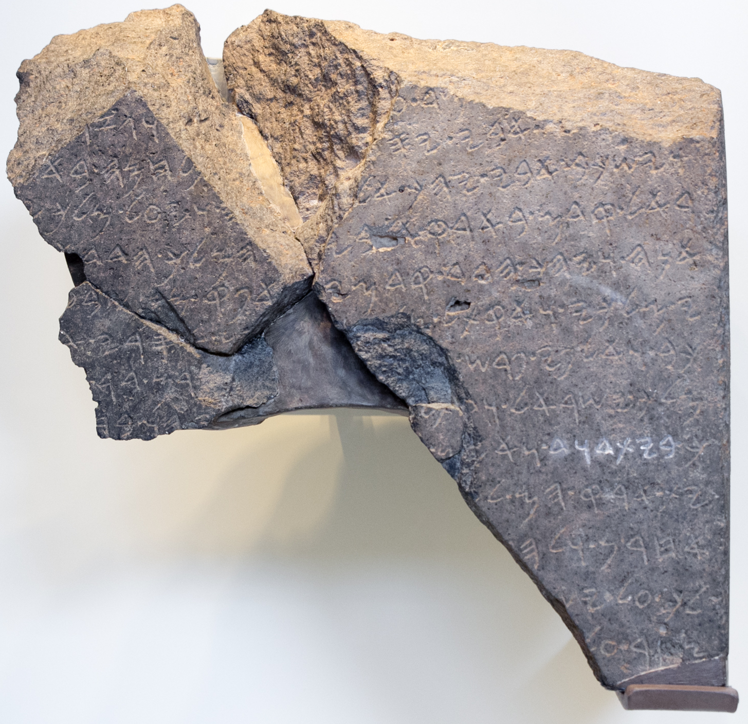
The Kingdom of Judah ( he, , ''Yəhūdā''; akk, 𒅀𒌑𒁕𒀀𒀀 ''Ya'údâ'' 'ia-ú-da-a-a'' arc, 𐤁𐤉𐤕𐤃𐤅𐤃 ''Bēyt Dāwīḏ'', " House of David") was an Israelite kingdom of the Southern Levant during the Iron Age. Centered in Judea, the kingdom's capital was Jerusalem. The other Israelite polity, the Kingdom of Israel, lay to the north. Jews are named after Judah and are primarily descended from it. The Hebrew Bible depicts the Kingdom of Judah as a successor to the United Kingdom of Israel, a term denoting the united monarchy under biblical kings Saul, David and Solomon and covering the territory of Judah and Israel. However, during the 1980s, some biblical scholars began to argue that the archaeological evidence for an extensive kingdom before the late-8th century BCE is too weak, and that the methodology used to obtain the evidence is flawed. In the 10th and early 9th centuries BCE, the territory of Judah appears to have been sparsely populated, ... [...More Info...] [...Related Items...] OR: [Wikipedia] [Google] [Baidu] |
Shfela
The Shephelah or Shfela, lit. "lowlands" ( hbo, הַשְּפֵלָה ''hašŠǝfēlā'', also Modern Hebrew: , ''Šǝfēlat Yəhūda'', the "Judaean foothills"), is a transitional region of soft-sloping rolling hills in south-central Israel stretching over between the Judaean Mountains and the Coastal Plain. The different use of the term "Judean Plain", as either defining just the Coastal Plain segment stretching along the Judaean Mountains, or also including, or only referring to, the Shfela, often creates grave confusion. Today the Shfela is largely rural with many farms, but the cities of Ashdod, Ashkelon, Rehovot, Beit Shemesh, and Kiryat Gat roughly surround it. The Bible assigned land in the Shfela to the tribes of Judah and Dan. Biblical references The Shfela is mentioned many times in the Hebrew Bible. (In the King James Version, the Hebrew term "Shfela" tends to be translated as "vale" or "valley.") The Shfela was the site of many biblical battles. During the Bar Ko ... [...More Info...] [...Related Items...] OR: [Wikipedia] [Google] [Baidu] |
Arabised
Arabization or Arabisation ( ar, تعريب, ') describes both the process of growing Arab influence on non-Arab populations, causing a language shift by the latter's gradual adoption of the Arabic language and incorporation of Arab culture, after the Muslim conquest of the Middle East and North Africa, as well as the Arab nationalist policies of some governments in modern Arab states toward non-Arabic speaking minorities, including Algeria, Iraq, Kuwait, Sudan. Historically, aspects of the culture of the Arabian Peninsula were combined in various forms with the cultures of conquered regions and ultimately denominated "Arab". After the rise of Islam in the Hejaz, Arab culture and language were spread outside the Arabian Peninsula through conquest, trade and intermarriages between members of the non-Arab local population and the peninsular Arabs. Even within the Arabian Peninsula itself, Arabization occurred to non-Arab populations such as the Hutaym in the northwestern Arabia and ... [...More Info...] [...Related Items...] OR: [Wikipedia] [Google] [Baidu] |
Onomasticon (Eusebius)
The ''Onomasticon'' compiled by Eusebius of Caesarea (more properly, ''On the Place-Names in the Holy Scripture'', , ''Peri tōn topikōn onomatōn tōn en tē Theia Graphē'', in Greek) is a directory of place names, or "gazetteer", a primary source that provides historical geographers with a contemporary knowledge of early 4th-century Palestine and Transjordan. It sits uneasily between the ancient genres of geography and lexicography, taking elements from both but serving as a member of neither. It is, according to many, the most important book for the study of Palestine in the Roman period. Background Eusebius' description of his own method, who wrote: "I shall collect the entries from the whole of the divinely inspired Scriptures, and I shall set them out grouped by their initial letters so that one may easily perceive what lies scattered throughout the text," implies that he had no similar type of book to work from; his work being entirely original, based only on the text ... [...More Info...] [...Related Items...] OR: [Wikipedia] [Google] [Baidu] |
First Temple
Solomon's Temple, also known as the First Temple (, , ), was the Temple in Jerusalem between the 10th century BC and . According to the Hebrew Bible, it was commissioned by Solomon in the United Kingdom of Israel before being inherited by the Kingdom of Judah in . It stood for around four centuries until it was destroyed by the Neo-Babylonian Empire during the Babylonian siege of Jerusalem, which occurred under the reign of Babylonian king Nebuchadnezzar II. Although most modern scholars agree that the First Temple existed on the Temple Mount in Jerusalem by the time of the Babylonian siege, there is significant debate over the date of its construction and the identity of its builder. The Hebrew Bible, specifically within the Book of Kings, includes a detailed narrative about the construction's ordering by Solomon, the penultimate ruler of amalgamated Israel and Judah. It further credits Solomon as the placer of the Ark of the Covenant in the Holy of Holies, a windowles ... [...More Info...] [...Related Items...] OR: [Wikipedia] [Google] [Baidu] |



.jpg)
