|
Maharees
Maharees or Magharees ( or ''Na Machairí'') is a 5 km long tombolo located on the northern side of the Dingle Peninsula in County Kerry, Ireland. Fenit Harbour, the main port of County Kerry, is sheltered from large Atlantic swells by the Maharees. To the north of the Maharees lie the Magharee Islands or ''Seven Hogs'', the largest of which, Oileán t-Seanaigh/Illauntannig, contains remnants of an early Christian monastic settlement, said to have been founded by St. Senan in the 7th century AD. The peninsula is a sandy spit for much of its length, with sand dunes giving way to earth and rocky ground towards the northern end. The sand dunes create a unique ecosystem, home to the rare Natterjack toad which is found locally in significant quantities. Lengthy beaches are found on both sides of the peninsula, which separates Brandon Bay on the western side from Tralee Bay to the east. The Brandon Bay beaches are open to the North Atlantic and often receive long swells, ... [...More Info...] [...Related Items...] OR: [Wikipedia] [Google] [Baidu] |
Castlegregory
Castlegregory (, meaning "Griaire's Castle") is a village in County Kerry, Ireland. It is situated on the north side of the Dingle Peninsula, halfway between Tralee and Dingle. As of the 2016 Census, Castlegregory had a population of 250. Castlegregory was named after a castle built by Gregory Hoare in the 16th century. It is the principal village in Lettragh, the name given to the northern side of the Dingle Peninsula. Geography The village is located at the foot of a sandy peninsula called the Maharees separating Brandon Bay to the west from Tralee Bay on the east. Off the peninsula are a number of small islands, called the Seven Hoggs, or the Maharee Islands. A small fishing harbour is located at Fahamore on Scraggane Bay, about 5 km outside the village at the tip of the Maharees peninsula. The village is surrounded by the mountains of the Dingle peninsula and overlooked directly by Beenoskee and Stradbally Mountains. To the west is Mount Brandon. Castlegregory is ... [...More Info...] [...Related Items...] OR: [Wikipedia] [Google] [Baidu] |
Fahamore
Fahamore () is a townland and small hamlet/village on the Maharees peninsula in County Kerry. It consists of about 50 houses and one pub, Spillane's. Fahamore was historically much more populated than it is now as evidenced by two old schoolhouses in the village, one dating from 1849 and the other from 1911. Fahamore is located on the shore of Brandon Bay and is a centre for diving, surfing, windsurfing and sea bass fishing. It is also a centre for currach building, and currachs are still used locally, including at the local fishing harbour at Scraggane. History There is evidence of prehistoric settlement at the cliff face at Fahamore in the form of shell middens. A survey of the middens can be found in the book "Archaeological Survey of the Dingle Peninsula". Local oral histories tell of a night in 1839, known as the Night of the Big Wind, when there was a particularly bad storm. A three masted sailing ship, the ''Charger'', carrying a cargo of deal, was wrecked in Carral ... [...More Info...] [...Related Items...] OR: [Wikipedia] [Google] [Baidu] |
Tralee Bay
Tralee Bay ( gle, Loch Foirdhreamhain / Cuan Thrá Lí) is located in on the west coast of County Kerry, Ireland. It is situated between Kerry Head on the north side and the Maharees on the west and extends eastwards as far as the bridge at Blennerville. Several small rivers feed into the bay through the town of Tralee. Villages around the bay include; Ballyheigue, Fenit, Kilfinora, Spa, Blennerville, Camp and Castlegregory. General information The hinterland of Tralee Bay is rich in historic content covering most major eras in the origins and development of the Island and the Nation, from the mythological history, social and industrial development to relatively recent political evolution. In conjunction with Barrow Harbour, the following list of people, items, places and events are indicative and relevant; * Scotia's Grave * Cathair Cun Ri * Ring Forts or Raths * Sou Terrains * Spa * Blennerville *Blennerville Windmill *Saint Brendan *Tralee Ship Canal *Spanish Armada *Ar ... [...More Info...] [...Related Items...] OR: [Wikipedia] [Google] [Baidu] |
Brandon Bay
Cé Bhréannain or Bréanainn (anglicized as Brandon) is a Gaeltacht village on the northern coast of the Dingle Peninsula in County Kerry, Ireland. It lies directly north of Dingle, at the foot of Mount Brandon and on the shores of Brandon Bay. The ancient Celtic harvest festival, a pre-Christian celebration called '' Féile Lughnasa'', takes place yearly in the village and surrounding area on the last Sunday of July. Windsurfing Brandon Carter Bay is one of the top windsurfing locations in Ireland. Host of three PWA professional wave sailing events in 2000, 2001 and 2002, it is home to several windsurfing schools catering to all levels from beginner to advanced. The Maharees, a sandy peninsula between Brandon Bay and Tralee Bay, is where most windsurfing activity is based. Great locations include Sandy Bay for beginners, Scraggane Bay for intermediates on flat water and Brandon Bay itself for advanced wave sailing. Surfing is also growing quickly in the Maharees, with w ... [...More Info...] [...Related Items...] OR: [Wikipedia] [Google] [Baidu] |
Scraggane
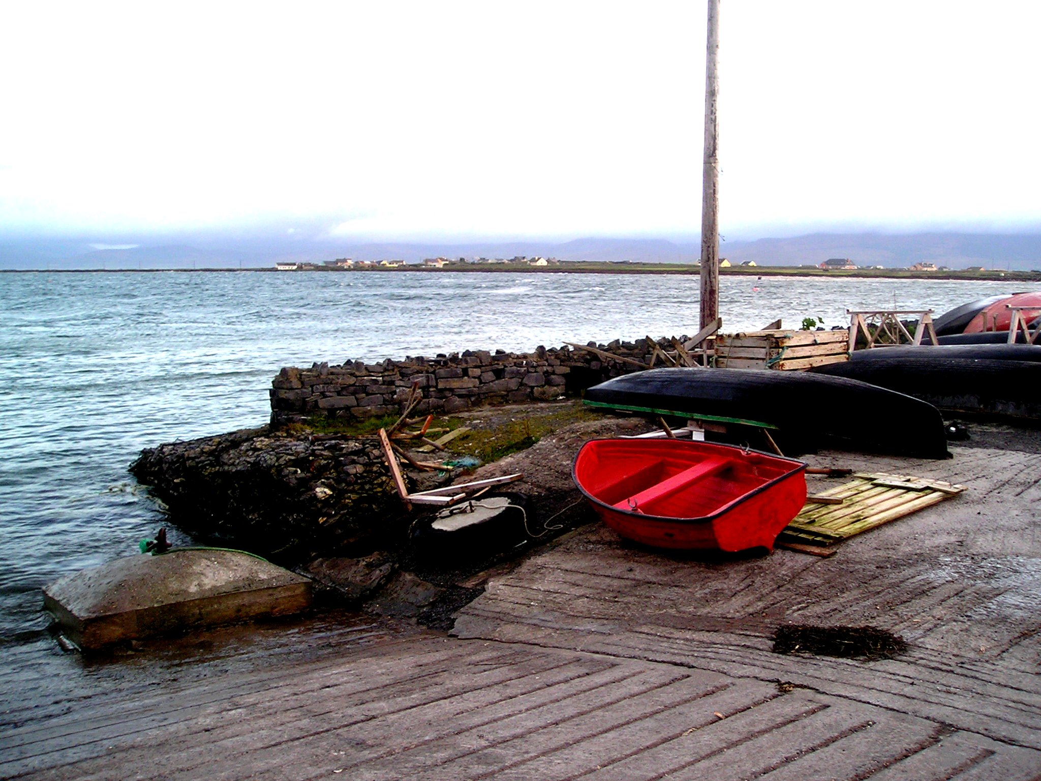
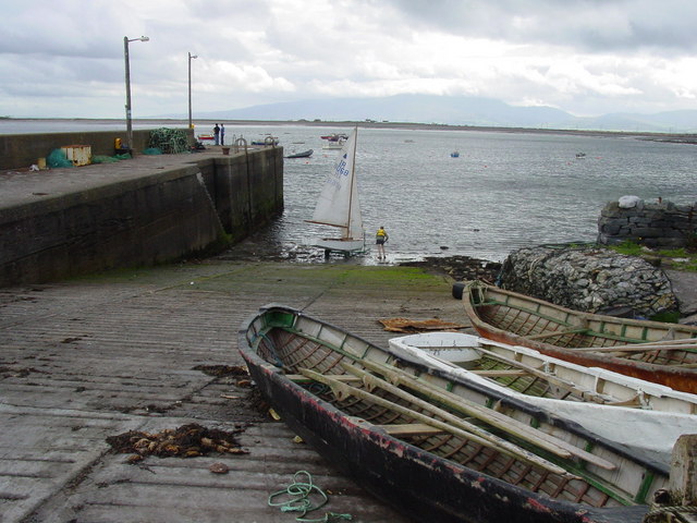
Scraggane () is a fishing port located on the Maharees peninsula near Castlegregory in County Kerry, Ireland. The main local catch consists of lobster, flat-back crab, spider crab, Atlantic crayfish, Atlantic salmon and mackerel. Scraggane is home to a fleet of about twenty fishing trawlers. Scraggane Bay is used as a flatwater windsurfing Windsurfing is a wind propelled water sport that is a combination of sailing and surfing. It is also referred to as "sailboarding" and "boardsailing", and emerged in the late 1960s from the aerospace and surf culture of California. Windsurfing ga ... venue owing, and is also sailable in almost any conditions, regardless of wind direction. External links Directions for visiting sailing vessels See also * List of towns and villages in Ireland References Towns and villages in County Kerry {{Kerry-geo-stub ... [...More Info...] [...Related Items...] OR: [Wikipedia] [Google] [Baidu] |
County Kerry
County Kerry ( gle, Contae Chiarraí) is a county in Ireland. It is located in the South-West Region and forms part of the province of Munster. It is named after the Ciarraige who lived in part of the present county. The population of the county was 155,258 at the 2022 census, A popular tourist destination, Kerry's geography is defined by the MacGillycuddy's Reeks mountains, the Dingle, Iveragh and Beara peninsulas, and the Blasket and Skellig islands. It is bordered by County Limerick to the north-east and Cork County to the south and south-east. Geography and subdivisions Kerry is the fifth-largest of Ireland's 32 traditional counties by area and the 16th-largest by population. It is the second-largest of Munster's six counties by area, and the fourth-largest by population. Uniquely, it is bordered by only two other counties: County Limerick to the east and County Cork to the south-east. The county town is Tralee although the Catholic diocesan seat is Killarney, whi ... [...More Info...] [...Related Items...] OR: [Wikipedia] [Google] [Baidu] |
Tombolo
A tombolo is a sandy or shingle isthmus. A tombolo, from the Italian ', meaning 'pillow' or 'cushion', and sometimes translated incorrectly as ''ayre'' (an ayre is a shingle beach of any kind), is a deposition landform by which an island becomes attached to the mainland by a narrow piece of land such as a spit or bar. Once attached, the island is then known as a tied island. Several islands tied together by bars which rise above the water level are called a tombolo cluster. Two or more tombolos may form an enclosure (called a lagoon) that can eventually fill with sediment. Formation The shoreline moves toward the island (or detached breakwater) due to accretion of sand in the lee of the island, where wave energy and longshore drift are reduced and therefore deposition of sand occurs. Wave diffraction and refraction True tombolos are formed by wave refraction and diffraction. As waves near an island, they are slowed by the shallow water surrounding it. These waves th ... [...More Info...] [...Related Items...] OR: [Wikipedia] [Google] [Baidu] |
Republic Of Ireland
Ireland ( ga, Éire ), also known as the Republic of Ireland (), is a country in north-western Europe consisting of 26 of the 32 counties of the island of Ireland. The capital and largest city is Dublin, on the eastern side of the island. Around 2.1 million of the country's population of 5.13 million people resides in the Greater Dublin Area. The sovereign state shares its only land border with Northern Ireland, which is part of the United Kingdom. It is otherwise surrounded by the Atlantic Ocean, with the Celtic Sea to the south, St George's Channel to the south-east, and the Irish Sea to the east. It is a unitary, parliamentary republic. The legislature, the , consists of a lower house, ; an upper house, ; and an elected President () who serves as the largely ceremonial head of state, but with some important powers and duties. The head of government is the (Prime Minister, literally 'Chief', a title not used in English), who is elected by the Dáil and appointed by ... [...More Info...] [...Related Items...] OR: [Wikipedia] [Google] [Baidu] |
Natterjack Toad
The natterjack toad (''Epidalea calamita'') is a toad native to sandy and heathland areas of Europe. Adults are 60–70 mm in length, and are distinguished from common toads by a yellow line down the middle of the back and parallel paratoid glands. They have relatively short legs, which gives them a distinctive gait, contrasting with the hopping movement of many other toad species. Natterjacks have a very loud and distinctive mating call amplified by the single vocal sac found under the chin of the male. Life history Natterjacks live for up to 15 years, and feed mainly on insects, especially beetles. At night, they move around open terrain with sparse vegetation, and their tracks can often be seen in loose sand. They move considerable distances each night, enabling the species to colonize new habitats very quickly. Reproduction The natterjack toad spawns between the end of April and July, laying strings of eggs in shallow, warm pools. Because the natterjack toad is oft ... [...More Info...] [...Related Items...] OR: [Wikipedia] [Google] [Baidu] |
Windsurfing
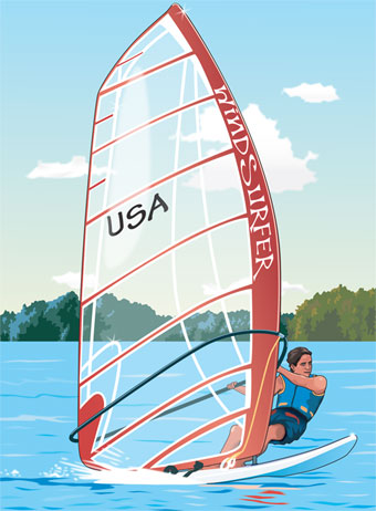
Windsurfing is a wind propelled water sport that is a combination of sailing and surfing. It is also referred to as "sailboarding" and "boardsailing", and emerged in the late 1960s from the aerospace and surf culture of California. Windsurfing gained a popular following across Europe and North America by the late 1970s and had achieved significant global popularity by the 1980s. Windsurfing became an olympic sport in 1984. Newer variants include windfoiling, kiteboarding and wingfoiling. Hydrofoil fins under the board allow the boards to safely lift out of the water and fly silently and smoothly above the surface even in lighter winds. Windsurfing is a recreational, family friendly sport, most popular at flat water locations around the world that offer safety and accessibility for beginner and intermediate participants. Technique and equipment have evolved over the years Major competitive disciplines include slalom, wave and freestyle. Increasingly, "foiling" is replacing trad ... [...More Info...] [...Related Items...] OR: [Wikipedia] [Google] [Baidu] |
Golf
Golf is a club-and-ball sport in which players use various clubs to hit balls into a series of holes on a course in as few strokes as possible. Golf, unlike most ball games, cannot and does not use a standardized playing area, and coping with the varied terrains encountered on different courses is a key part of the game. Courses typically have either 18 or 9 ''holes'', regions of terrain that each contain a ''cup'', the hole that receives the ball. Each hole on a course contains a teeing ground to start from, and a putting green containing the cup. There are several standard forms of terrain between the tee and the green, such as the fairway, rough (tall grass), and various ''hazards'' such as water, rocks, or sand-filled ''bunkers''. Each hole on a course is unique in its specific layout. Golf is played for the lowest number of strokes by an individual, known as stroke play, or the lowest score on the most individual holes in a complete round by an individual or team, k ... [...More Info...] [...Related Items...] OR: [Wikipedia] [Google] [Baidu] |

.jpg)


_2.jpg)


