|
M31 Motorway (Hungary)
The M31 motorway ( hu, M31-es autÃģpÃĄlya) is a motorway in Hungary, that runs between the M0 motorway at Nagytarcsa and the M3 motorway at GÃķdÃķllÅ. Municipalities The M31 motorway runs through the following municipalities: * Pest County: Budapest, Nagytarcsa, Kistarcsa, Kerepes, GÃķdÃķllÅ, MogyorÃģd Openings timeline * Nagytarcsa; M0 â GÃķdÃķllÅ; M3 (44 km): 2010.07.26. Junctions, exits and rest area * The route is full length motorway, this route is part of Budapest bypass. The maximum speed limit is 110km/h. See also * Roads in Hungary * Transport in Hungary * International E-road network The international E-road network is a numbering system for roads in Europe developed by the United Nations Economic Commission for Europe (UNECE). The network is numbered from E1 up and its roads cross national borders. It also reaches Centr ... References External links National Toll Payment Services Plc.(in Hungarian, some information also in English)National ... [...More Info...] [...Related Items...] OR: [Wikipedia] [Google] [Baidu] |
Budapest Ferenc Liszt International Airport
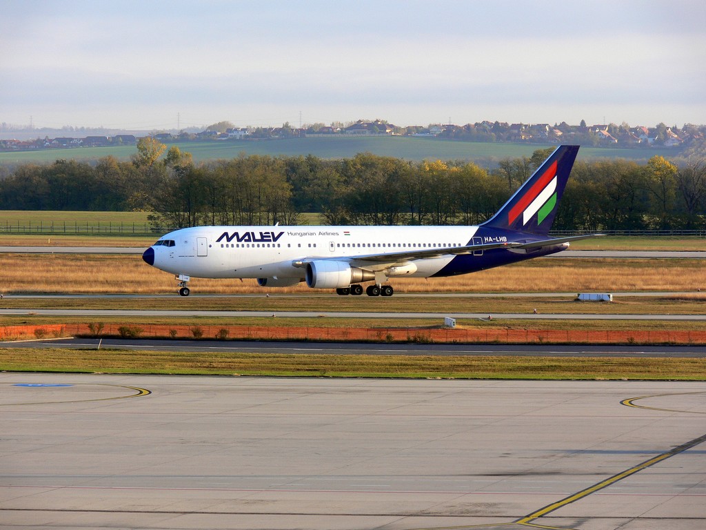
Budapest Ferenc Liszt International Airport ( hu, Budapest Liszt Ferenc NemzetkÃķzi RepÞlÅtÃĐr) , formerly known as ''Budapest Ferihegy International Airport'' and still commonly called just ''Ferihegy'', is the international airport serving the Hungarian capital city of Budapest. It is by far the largest of the country's four commercial airports, ahead of Debrecen and HÃĐvÃzâBalaton. The airport is located southeast of the center of Budapest (bordering Pest county) and was renamed in 2011 in honour of the most famous Hungarian composer Franz Liszt ( hu, Liszt Ferenc) on the occasion of the 200th anniversary of his birth. It offers international connections primarily within Europe, but also to Africa, to the Middle East, to North America and to the Far East. In 2019, the airport handled 16.2 million passengers. The airport is the headquarters and primary hub for Wizz Air and base for Ryanair. In 2012 it experienced a significant drop in aircraft movements and handled car ... [...More Info...] [...Related Items...] OR: [Wikipedia] [Google] [Baidu] |
Transport In Hungary
Transport in Hungary relies on several main modes, including transport by road, rail, air and water. Roads Hungary has a total of of public roads, of which are paved (including 1481 km of motorways, as of 2016); and are unpaved (2005 etc.): Hungarian road categories are as follows: * Gyorsforgalmi Út (controlled-access highway): **AutÃģpÃĄlya (motorway): 2+2 travel lanes and 1+1 emergency lane, central reservation, no at-grade intersections, speed limit **GyorsÚt (high-speed highway): 2+2 travel lanes, central reservation, few at-grade intersections, speed limit **AutÃģÚt (expressway): 2+2, 2+1 or 1+1 travel lanes, central reservation, some at-grade intersections, speed limit *ElsÅdrendÅ fÅÚt (primary arterial road or primary main road) (with one-digit number, e.g. 6-os fÅÚt) *MÃĄsodrendÅą fÅÚt (secondary main road) (with two or three digits, e.g. 57-es fÅÚt) *Helyi Út (local road) (with three or more digits, e.g. 4519-es kÃķzÚt) Motorways and expr ... [...More Info...] [...Related Items...] OR: [Wikipedia] [Google] [Baidu] |
Roads In Hungary
Hungarian road categories are as follows: * Gyorsforgalmi Út (controlled-access highway): **AutÃģpÃĄlya (motorway): 2+2 travel lanes and 1+1 emergency lane, central reservation, no at-grade intersections, speed limit: 130 kilometers per hour (81 mph) **AutÃģÚt (expressway): 2+2, 2+1 or 1+1 travel lanes, central reservation, some at-grade intersections, speed limit: 110 kilometers per hour (68 mph) **GyorsÚt (high-speed highway): 2+2 travel lanes, central reservation, few at-grade intersections, speed limit: 110 kilometers per hour (68 mph) *ElsÅdrendÅą fÅÚt (primary arterial road or primary main road) (with one digit in their name, e.g.: 6-os fÅÚt) *MÃĄsodrendÅą fÅÚt (secondary main road) (with two or three digits, e.g.: 57-es fÅÚt) *Helyi Út (local road) (with three or more digits) Some of the national roads are part of the European route scheme.European routes passing through Hungary: E60; E65; E66; E68; E71; E73; E75; E77; E79 (Class A); E5 ... [...More Info...] [...Related Items...] OR: [Wikipedia] [Google] [Baidu] |
3 (Hu) Otszogletu Zold Tabla
3 (three) is a number, numeral and digit. It is the natural number following 2 and preceding 4, and is the smallest odd prime number and the only prime preceding a square number. It has religious or cultural significance in many societies. Evolution of the Arabic digit The use of three lines to denote the number 3 occurred in many writing systems, including some (like Roman and Chinese numerals) that are still in use. That was also the original representation of 3 in the Brahmic (Indian) numerical notation, its earliest forms aligned vertically. However, during the Gupta Empire the sign was modified by the addition of a curve on each line. The NÄgarÄŦ script rotated the lines clockwise, so they appeared horizontally, and ended each line with a short downward stroke on the right. In cursive script, the three strokes were eventually connected to form a glyph resembling a with an additional stroke at the bottom: āĨĐ. The Indian digits spread to the Caliphate in the 9th ... [...More Info...] [...Related Items...] OR: [Wikipedia] [Google] [Baidu] |
Budapest Bypass
Budapest (, ; ) is the Capital city, capital and List of cities and towns of Hungary, most populous city of Hungary. It is the List of cities in the European Union by population within city limits, ninth-largest city in the European Union by population within city limits and the List of cities and towns on Danube river, second-largest city on the Danube river; the city has an estimated population of 1,752,286 over a land area of about . Budapest, which is both a List of cities and towns of Hungary, city and Counties of Hungary, county, forms the centre of the Budapest metropolitan area, which has an area of and a population of 3,303,786; it is a primate city, constituting 33% of the population of Hungary. The history of Budapest began when an early Celts, Celtic settlement transformed into the Ancient Rome, Roman town of Aquincum, the capital of Pannonia Inferior, Lower Pannonia. The Hungarian people, Hungarians arrived in the territory in the late 9th century, but the area ... [...More Info...] [...Related Items...] OR: [Wikipedia] [Google] [Baidu] |
Szentendre
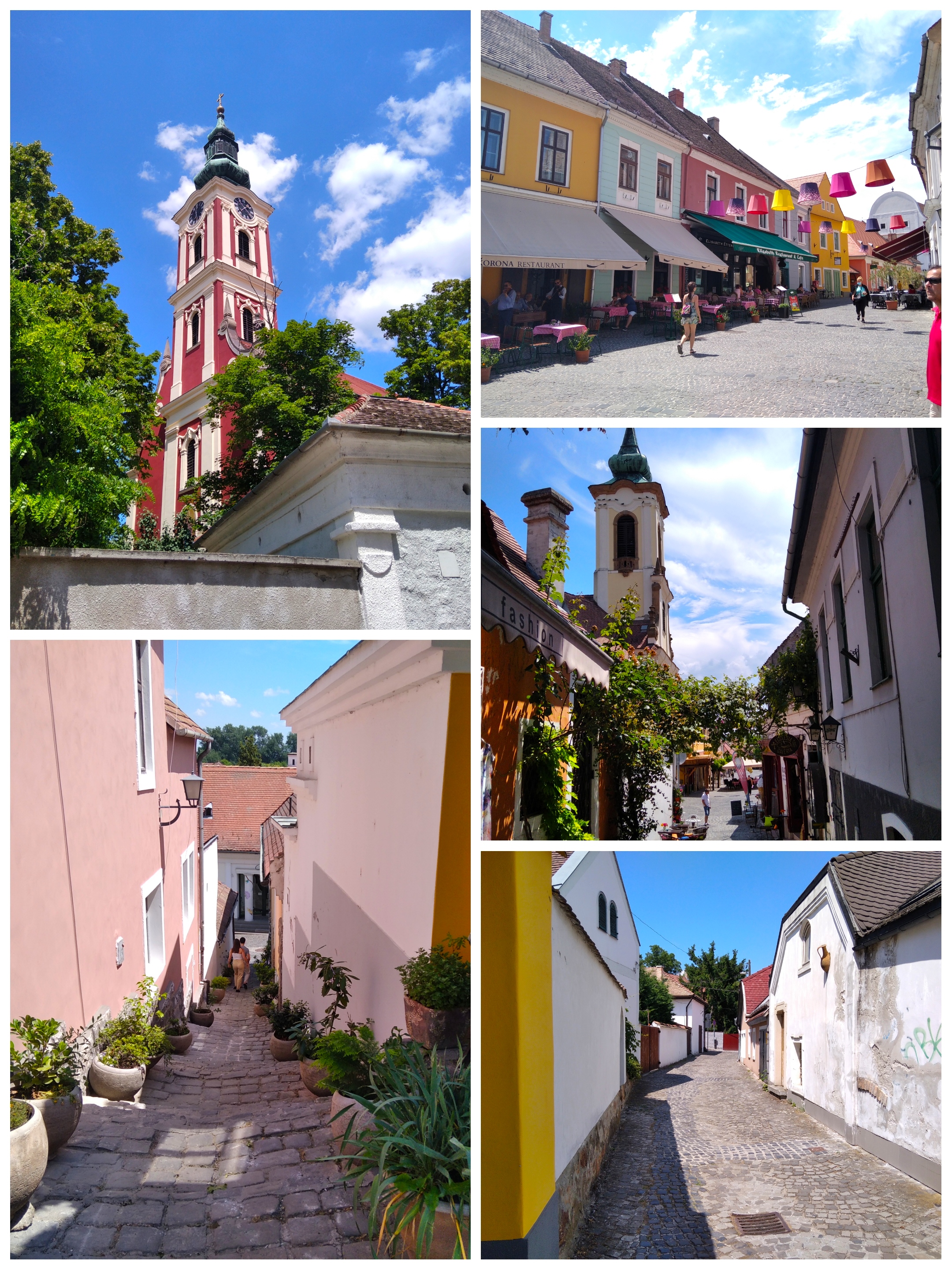
Szentendre () is a riverside town in Pest County, Hungary, between the capital city Budapest and Pilis Mountains, Pilis-VisegrÃĄd Mountains. The town is known for its museums (most notably the :hu: Szentendrei SzabadtÃĐri NÃĐprajzi MÚzeum, Open-Air Ethnographic Museum), galleries, and artists. Due to its historic architecture and easy rail and river access, it has become a destination for tourists staying in Budapest. There are many facilities, including Gift shop, souvenir shops and restaurants, catering to these visitors. Name The name of the town is ultimately based on the Medieval Latin form ' ("St. Andrew"). Because of the diverse mix of nationalities to have once settled in Szentendre, the settlement has a variety of names according to language. The Hungarian language, Hungarian name for the town is '; the Croatian language, Croatian name is '; the German language, German name is '; in Serbian language, Serbian, the name is ' ( sr-Cyrl, ÐĄÐĩÐ―ŅÐ°Ð―ÐīŅÐĩŅа); the Slovak ... [...More Info...] [...Related Items...] OR: [Wikipedia] [Google] [Baidu] |
VÃĄc
VÃĄc (; german: Waitzen; sk, Vacov; yi, ŨŨŨŨŨĶŨĒŨ) is a town in Pest county in Hungary with approximately 35,000 inhabitants. The archaic spelling of the name is ''VÃĄcz''. Location VÃĄc is located north of Budapest on the eastern bank of the Danube river, below the bend where the river changes course and flows south. The town is seated at the foot of the NaszÃĄly Mountain in the foothills of the Carpathians. Modern VÃĄc VÃĄc is a commercial center as well as a popular summer resort for citizens of Budapest. The VÃĄc Cathedral, built 1761â1777, was modelled after St. Peter's Basilica in Rome. The episcopal palace houses a museum for Roman and medieval artifacts. The city is also known for its 18th-century arch of triumph and for its beautiful baroque city center. History Settlement in VÃĄc dating as far back as the Roman Empire has been found. The origin of its name is debated. One hypothesis says that the name comes from a Hungarian tribal name "Vath". Another theor ... [...More Info...] [...Related Items...] OR: [Wikipedia] [Google] [Baidu] |
Pfeil Unten
Pfeil may refer to: People * Friedrich Wilhelm Leopold Pfeil (1783-1859), forestry scientist and founder of the Royal Prussian Higher Forestry College in Eberswalde, Germany * Bobby Pfeil (born 1943), American right-handed Major League Baseball third baseman * David Pfeil (born 1967), American soccer midfielder * Fred Pfeil (1949â2005), American literary critic and novelist * Joachim von Pfeil (1857â1924), German explorer and colonist in Africa and New Guinea * Mark Pfeil (born 1951), American professional golfer * Enzio von Pfeil (born 1953), German economist * Count Jefferson von Pfeil und Klein-Ellguth (born 1967), German noble * Valentin Pfeil (born 1988), Austrian long distance runner Other * Dornier Pfeil, a German aircraft from World War II, a heavy fighter * Pfeil (schooner) Pfeil may refer to: People * Friedrich Wilhelm Leopold Pfeil (1783-1859), forestry scientist and founder of the Royal Prussian Higher Forestry College in Eberswalde, Germany * Bo ... [...More Info...] [...Related Items...] OR: [Wikipedia] [Google] [Baidu] |
GyÅr
GyÅr ( , ; german: Raab, links=no; names of European cities in different languages: E-H#G, names in other languages) is the main city of northwest Hungary, the capital of GyÅr-Moson-Sopron County and Western Transdanubia, Western Transdanubia region, and â halfway between Budapest and Vienna â situated on one of the important roads of Central Europe. It is the sixth largest city in Hungary, and one of its seven main regional centres. The city has City with county rights, county rights. History The area along the Danube River has been inhabited by varying cultures since ancient times. The first large settlement dates back to the 5th century BCE; the inhabitants were Celts. They called the town ''Ara Bona'' "Good altar", later contracted to ''Arrabona'', a name which was used until the eighth century. Its shortened form is still used as the German (''Raab'') and Slovak (''RÃĄb'') names of the city. Roman merchants moved to Arrabona during the 1st century BCE. Around 10 CE, ... [...More Info...] [...Related Items...] OR: [Wikipedia] [Google] [Baidu] |
SzÃĐkesfehÃĐrvÃĄr
SzÃĐkesfehÃĐrvÃĄr (; german: StuhlweiÃenburg ), known colloquially as FehÃĐrvÃĄr ("white castle"), is a city in central Hungary, and the country's ninth-largest city. It is the regional capital of Central Transdanubia, and the centre of FejÃĐr County and SzÃĐkesfehÃĐrvÃĄr District. The area is an important rail and road junction between Lake Balaton and Lake Velence. SzÃĐkesfehÃĐrvÃĄr, a royal residence (''szÃĐkhely''), as capital of the Kingdom of Hungary, held a central role in the Middle Ages. As required by the Doctrine of the Holy Crown, the first kings of Hungary were crowned and buried here. Significant trade routes led to the Balkans and Italy, and to Buda and Vienna. Historically the city has come under Ottoman and Habsburg control, and was known in many languages by translations of " white castle" â hr, Stolni Biograd, german: StuhlweiÃenburg, la, Alba Regia, ota, Ä°stolni Belgrad, sr, Stoni Beograd, sk, StoliÄnÃ― Belehrad. History Pre-Hungarian The place ... [...More Info...] [...Related Items...] OR: [Wikipedia] [Google] [Baidu] |


