|
Longford River
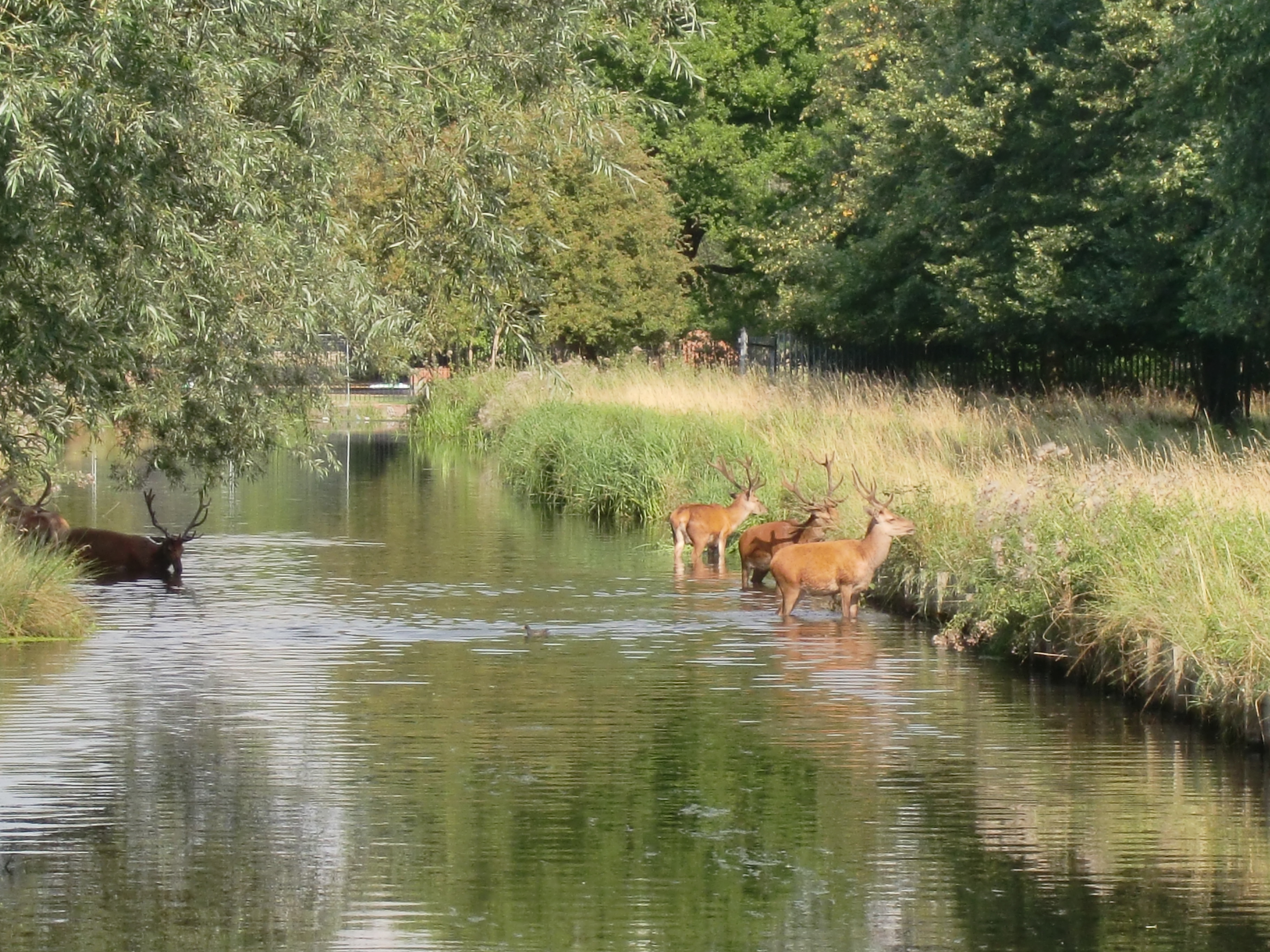
The Longford River is an artificial waterway, a distributary designed to embellish a park, that diverts water from the River Colne at Longford near Colnbrook in England, to Bushy Park and Hampton Court Palace. Its main outlet is to the reach above Molesey Lock with lesser pond outlet channels to that above Teddington Lock (of the Thames). The waterway was built for King Charles I in 1638/39 as a water supply for Hampton Court. Water features in Bushy Park were added in 1710. North of the A30, its course has been diverted more than once as London Heathrow Airport has grown. Its cascades, grassed banks and fountains in Bushy Park were restored and reopened to the public in 2009 to close to their original state. Route In its northern course, it runs side by side with its older "twin", the Duke of Northumberland's River. Both have been re-dug near to their older lines to accommodate Heathrow Airport: most recently as part of the Twin Rivers Diversion Scheme for the taxiways an ... [...More Info...] [...Related Items...] OR: [Wikipedia] [Google] [Baidu] |
River Colne, Hertfordshire
The Colne is a river and a tributary of the River Thames in England. Just over half its course is in south Hertfordshire. Downstream, it forms the boundary between Buckinghamshire and the London Borough of Hillingdon. The confluence with the River Thames is on the Staines reach (above Penton Hook Lock) at Staines-upon-Thames. Two of its distributaries, constructed in the 1600 – 1750 period largely for aesthetic reasons for Hampton Court and for Syon Park, have been maintained. Their main purpose was not drinking water but these can be likened to the New River in scale and in date. Crossing its route, many viaducts and a canal, the intersecting Grand Union Canal, have been recognised for pioneering engineering during the Industrial Revolution. Digging for gravel and clay along its lower course near Rickmansworth has created a belt of flooded pits below the water table, as established lakes, many of which are well-adapted habitats for wildlife, protected as nature rese ... [...More Info...] [...Related Items...] OR: [Wikipedia] [Google] [Baidu] |
Bedfont
Bedfont is a suburb in the London Borough of Hounslow, approximately west of Centre of London, Charing Cross. Originally a distinct village, Bedfont has a large central conservation area around Bedfont Green. The majority of the housing was built at a time of an emerging economy of aviation and distribution-related businesses. The area was formerly part of the Staines Rural District and was one of the formerly agricultural areas chosen for significant low-rise social housing, planned and built in the mid 20th century. Bedfont straddles Staines Road (A315) and traditionally includes North Feltham north of Staines Road – a mainly commercial area – and the neighbourhood of Hatton, London, Hatton. The heart of the area has many parks and the south-eastern streets and Cage Park are contiguous with the larger district of Feltham. East is the River Crane, London, River Crane around which are a few remaining parts of Hounslow Heath. The nearest railway station is at Feltham railwa ... [...More Info...] [...Related Items...] OR: [Wikipedia] [Google] [Baidu] |
Abatement Of A Nuisance
Nuisance abatement is a growing area within policing and code enforcement. The term refers to using building codes, fire codes, zoning, etc. in order to improve the quality of life and resolve life safety issues within neighborhoods. Nuisance abatement programs are most often a component of problem oriented or community policing programs. In most Canadian jurisdictions, bylaw enforcement officers handle nuisance abatement. In England and Wales, "abatement of nuisance" is a legal self-help procedure whereby any victim of a private nuisance may take steps (without seeking the court's approval) to deal with the problem. Communities Nuisance Abatement programs exists in a number of communities and are organized at the city, county and state levels. Albuquerque, New Mexico The City of Albuquerque features a task force of members drawn from various city agencies known as the Safe City Strike Force. The Albuquerque program's goals include enforcement of City codes and ordinances; s ... [...More Info...] [...Related Items...] OR: [Wikipedia] [Google] [Baidu] |
Royal Parks Agency
The Royal Parks of London are lands that were originally used for the recreation, mostly hunting, of the royal family. They are part of the hereditary possessions of The Crown, now managed by The Royal Parks Limited, a charity which manages eight royal parks and certain other areas of parkland in London. The Royal Parks charity was created as a company limited by guarantee in March 2017 and officially launched in July 2017. Its chief executive is Andrew Scattergood. The charity took over the main responsibilities of management from the Royal Parks Agency – a former executive agency of the Department for Culture, Media and Sport – and from the Royal Parks Foundation, which is a separate charity. Parks With increasing urbanisation of London, some of these were preserved as freely accessible open space and became public parks with the introduction of the Crown Lands Act 1851. There are today eight parks formally described by this name and they cover almost of land in G ... [...More Info...] [...Related Items...] OR: [Wikipedia] [Google] [Baidu] |
Raven's Ait
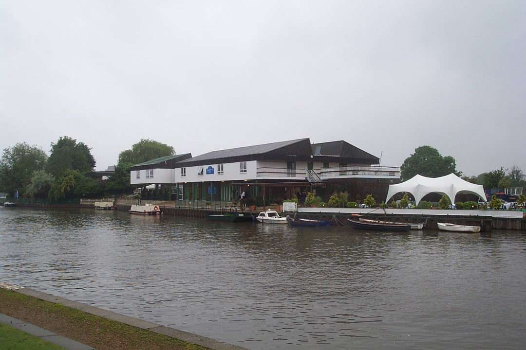
Raven's Ait is an ait (island) in the Thames between Surbiton, Kingston and Hampton Court Park in the Royal Borough of Kingston upon Thames, London, England, in the reach of the river above Teddington Lock. Used as a boating training centre for many years, Raven's Ait is currently privately run as a catering facility and a conference and wedding venue. Geography Raven's Ait is a Thames ait between Surbiton, Kingston and Hampton Court Park in the Royal Borough of Kingston upon Thames in the centre of the non-tidal reach above Teddington Lock, and immediately below Seething Wells.Map created by , courtesy of |
River Mole, Surrey
The River Mole is a tributary of the River Thames in southern England. It rises in West Sussex near Gatwick Airport and flows northwest through Surrey for to the Thames at Hampton Court Palace. The river gives its name to the Surrey district of Mole Valley. The Mole crosses the North Downs between Dorking and Leatherhead, where it cuts a steep-sided valley, known as the Mole Gap, through the chalk. Much of the catchment area lies on impermeable rock (including Weald Clay and London Clay), meaning that the river level responds rapidly to heavy rainfall. During the second half of the 20th century pollution levels in the river were high; however, since 1995 the water quality has improved dramatically and the Mole now boasts the greatest diversity of fish species of any river in England. Twelve Sites of Special Scientific Interest (SSSIs) that include wetland habitats are located within the Mole catchment area, and the stretch of river through Leatherhead has been designated a ... [...More Info...] [...Related Items...] OR: [Wikipedia] [Google] [Baidu] |
OpenStreetMap
OpenStreetMap (OSM) is a free, open geographic database updated and maintained by a community of volunteers via open collaboration. Contributors collect data from surveys, trace from aerial imagery and also import from other freely licensed geodata sources. OpenStreetMap is freely licensed under the Open Database License and as a result commonly used to make electronic maps, inform turn-by-turn navigation, assist in humanitarian aid and data visualisation. OpenStreetMap uses its own topology to store geographical features which can then be exported into other GIS file formats. The OpenStreetMap website itself is an online map, geodata search engine and editor. In 2004, OpenStreetMap was created by Steve Coast in response to the Ordnance Survey, the United Kingdom's national mapping agency, failing to release its data to the public and under free licences. Initially, maps were created only via GPS traces, but it was quickly populated by importing public domain geographical ... [...More Info...] [...Related Items...] OR: [Wikipedia] [Google] [Baidu] |
Navigable Aqueduct
Navigable aqueducts (sometimes called water bridges) are bridge structures that carry navigable waterway canals over other rivers, valleys, railways or roads. They are primarily distinguished by their size, carrying a larger cross-section of water than most water-supply aqueducts. Roman aqueducts were used to transport water and were created in Ancient Rome. The long steel Briare aqueduct carrying the Canal latéral à la Loire over the River Loire was built in 1896. It was ranked as the longest navigable aqueduct in the world for more than a century, until the Magdeburg Water Bridge in Germany took the title in the early 21st century. Early aqueducts such as the three on the Canal du Midi had stone or brick arches, the longest span being on the Cesse Aqueduct, built in 1690. But, the weight of the construction to support the trough with the clay or other lining to make it waterproof made these structures clumsy. In 1796 Longdon-on-Tern Aqueduct, the first large cast iron aqu ... [...More Info...] [...Related Items...] OR: [Wikipedia] [Google] [Baidu] |
Cutting (transportation)
Cutting is the separation or opening of a physical object, into two or more portions, through the application of an acutely directed force. Implements commonly used for cutting are the knife and saw, or in medicine and science the scalpel and microtome. However, any sufficiently sharp object is capable of cutting if it has a hardness sufficiently larger than the object being cut, and if it is applied with sufficient force. Even liquids can be used to cut things when applied with sufficient force (see water jet cutter). Cutting is a compressive and shearing phenomenon, and occurs only when the total stress generated by the cutting implement exceeds the ultimate strength of the material of the object being cut. The simplest applicable equation is: \text = or \tau=\frac The stress generated by a cutting implement is directly proportional to the force with which it is applied, and inversely proportional to the area of contact. Hence, the smaller the area (i.e., the sharper t ... [...More Info...] [...Related Items...] OR: [Wikipedia] [Google] [Baidu] |
Hampton Hill
Hampton Hill (initially known as "New Hampton") is a district in the London Borough of Richmond upon Thames to the south of Twickenham, bounded by Fulwell and Twickenham Golf Courses to the northwest; the road bridge over the railway line; a line southward just east of Wellington Road; Bushy Park to the southeast; and the artificial Longford River to the south and west. Situated close to the Surrey county border, it is served by Fulwell railway station and Hampton railway station on the Shepperton to Waterloo line. It is part of what is collectively known as The Hamptons. Much of Hampton Hill High Street, and some neighbouring residential areas are designated as a conservation area. History Hampton Hill's urban development was railway-fuelled building in an area that was since the Middle Ages the north of Hampton ecclesiastical parish further away from the River Thames. Distinguished from Hampton on all street name signs, it is that part across the Charles I-commission ... [...More Info...] [...Related Items...] OR: [Wikipedia] [Google] [Baidu] |
Hampton, London
Hampton is a suburban area on the north bank of the River Thames, in the London Borough of Richmond upon Thames, England, and historically in the County of Middlesex. which includes Hampton Court Palace. Hampton is served by two railway stations, including one immediately south of Hampton Court Bridge in East Molesey. Hampton adjoins Bushy Park on two sides and is west of Hampton Wick and Kingston upon Thames. There are long strips of public riverside in Hampton and the Hampton Heated Open Air Pool is one of the few such swimming pools in Greater London. The riverside, on the reach above Molesey Lock, has residential islands, a park named St Albans Riverside and grand or decorative buildings including Garrick's House and the Temple to Shakespeare; also on the river is the Astoria Houseboat recording studio. Hampton Ferry provides access across the Thames to the main park of Molesey and the Thames Path National Trail. The Thames Water Hampton Water Treatment Works covers a lar ... [...More Info...] [...Related Items...] OR: [Wikipedia] [Google] [Baidu] |


