|
London Buses Route 137
London Buses route 137 is a Transport for London contracted bus route in London, England. Running between Streatham Hill and Marble Arch, it is operated by Arriva London. History In the 1930s, STL buses were used on this route which ran from Highgate to Elmers End. The AEC Routemaster buses which operated route 137 since 1 November 1964 were replaced by one-person operated Wright Pulsar Gemini bodied DAF DB250s on 10 July 2004, ending a remarkable forty years of service New Routemasters were introduced on 6 December 2014. The rear platform remains closed at all times except for when the bus is at bus stops. On 15 July 2017 route 137 was permanently curtailed to Marble Arch and no longer serves Oxford Street. Current route Route 137 operates via these primary locations: Transport for London * |
Arriva London
Arriva London is a major bus company operating services in Greater London. It is a subsidiary of Arriva UK Bus and operates services under contract to Transport for London. It was formed in 1998 from a fusion of previously separate Arriva subsidiaries Grey-Green, Leaside Buses, Kentish Bus, London & Country and South London Transport. Operations are split between two registered companies, Arriva London North Limited and Arriva London South Limited. History The origins of Arriva London can be traced back to 1980 when the Cowie Group purchased the Grey-Green coach business in London.The Arriva London Story Arriva London In February 1987, Grey-Green commenced operating bus routes in north and east London under contract to |
Clapham Common Tube Station
Clapham Common is a London Underground station in Clapham within the London Borough of Lambeth. It is on the Northern line, between Clapham North and Clapham South stations, and is in Travelcard Zone 2. History The station is at the eastern tip of Clapham Common and was opened on 3 June 1900 as the new southern terminus of the City & South London Railway, which was extended from Stockwell. It remained the terminus until the Morden extension was opened on 13 September 1926. The air-raid shelter under the station was used to house 230 of the immigrants who arrived in Britain in June 1948 aboard the SS Empire Windrush. The station today The station has two entrances, one at the west via a domed building dating from the 1920s, and one at the east via a modern curved-steel and glass pavilion. Clapham Common is one of two remaining deep-level stations on the underground that has an island platform in tunnel serving both the northbound and southbound lines, the other bei ... [...More Info...] [...Related Items...] OR: [Wikipedia] [Google] [Baidu] |
Marble Arch Tube Station
Marble is a metamorphic rock composed of recrystallized carbonate minerals, most commonly calcite or dolomite. Marble is typically not foliated (layered), although there are exceptions. In geology, the term ''marble'' refers to metamorphosed limestone, but its use in stonemasonry more broadly encompasses unmetamorphosed limestone. Marble is commonly used for sculpture and as a building material. Etymology The word "marble" derives from the Ancient Greek (), from (), "crystalline rock, shining stone", perhaps from the verb (), "to flash, sparkle, gleam"; R. S. P. Beekes has suggested that a "Pre-Greek origin is probable". This stem is also the ancestor of the English word "marmoreal," meaning "marble-like." While the English term "marble" resembles the French , most other European languages (with words like "marmoreal") more closely resemble the original Ancient Greek. Physical origins Marble is a rock resulting from metamorphism of sedimentary carbonate rocks, most ... [...More Info...] [...Related Items...] OR: [Wikipedia] [Google] [Baidu] |
Mayfair
Mayfair is an affluent area in the West End of London towards the eastern edge of Hyde Park, in the City of Westminster, between Oxford Street, Regent Street, Piccadilly and Park Lane. It is one of the most expensive districts in the world. The area was originally part of the manor of Eia and remained largely rural until the early 18th century. It became well known for the annual "May Fair" that took place from 1686 to 1764 in what is now Shepherd Market. Over the years, the fair grew increasingly downmarket and unpleasant, and it became a public nuisance. The Grosvenor family (who became Dukes of Westminster) acquired the land through marriage and began to develop it under the direction of Thomas Barlow. The work included Hanover Square, Berkeley Square and Grosvenor Square, which were surrounded by high-quality houses, and St George's Hanover Square Church. By the end of the 18th century, most of Mayfair was built on with upper-class housing; unlike some nearby areas ... [...More Info...] [...Related Items...] OR: [Wikipedia] [Google] [Baidu] |
Hyde Park Corner Tube Station
Hyde Park Corner is a London Underground station near Hyde Park Corner in Hyde Park. It is in Travelcard Zone 1, between Knightsbridge and Green Park on the Piccadilly line. History The station was opened by the Great Northern, Piccadilly and Brompton Railway on 15 December 1906. It was the connecting station between the two original companies, the London United Railway and the Piccadilly and City Railway, who amalgamated after Parliament demanded the entire line from Hammersmith to Finsbury Park should be built as one scheme. The original, Leslie Green-designed station building still remains to the south of the road junction, notable by its ox-blood coloured tiles; it was until June 2010 used as a pizza restaurant, and since 14 December 2012 it has been the Wellesley Hotel. The building was taken out of use when the station was provided with escalators in place of lifts and a new sub-surface ticket hall that came into use on 23 May 1932 although an emergency stairway provide ... [...More Info...] [...Related Items...] OR: [Wikipedia] [Google] [Baidu] |
Knightsbridge Tube Station
Knightsbridge is a London Underground station in Knightsbridge, London. It is on the Piccadilly line between South Kensington and Hyde Park Corner, and is in Travelcard Zone 1. History The station was opened on 15 December 1906 by the Great Northern, Piccadilly and Brompton Railway (GNP&BR, now the Piccadilly line). When opened, the platforms were accessed in the standard manner by four lifts and an emergency staircase connecting to parallel passageways and bridges to midway along the platforms. The original station building designed by Leslie Green was located on Brompton Road a short distance west of its junction with Knightsbridge and Sloane Street. A rear entrance was located on Basil Street. The location of the station in a busy and fashionable shopping district meant that patronage at the station was high from the beginning, particularly due to the presence locally of the Harrods and Harvey Nichols emporiums. This contrasted with the next station on the line westward †... [...More Info...] [...Related Items...] OR: [Wikipedia] [Google] [Baidu] |
Sloane Square Tube Station
Sloane Square is a London Underground station in Chelsea, serving Sloane Square. It is served by the District and Circle lines, between South Kensington and Victoria stations and is in Travelcard Zone 1. The entrance to the station is on the east side of Sloane Square ( A3217). It is adjacent to the Royal Court Theatre and is the nearest station for King's Road shopping, the Peter Jones department store and the Cadogan Hall. History The station was opened on 24 December 1868 by the District Railway (DR, now the District line) when the company opened the first section of its line between South Kensington and Westminster stations. The construction of the station was complicated by the crossing of the site by the River Westbourne which ran through Hyde Park as the Serpentine Lake and was originally crossed by the Knight's Bridge at Knightsbridge. The river was carried above the platform in a large iron pipe suspended from girders. It remains in place today. The DR con ... [...More Info...] [...Related Items...] OR: [Wikipedia] [Google] [Baidu] |
Chelsea, London
Chelsea is an affluent area in west London, England, due south-west of Charing Cross by approximately 2.5 miles. It lies on the north bank of the River Thames and for postal purposes is part of the south-western postal area. Chelsea historically formed a manor and parish in the Ossulstone hundred of Middlesex, which became the Metropolitan Borough of Chelsea in 1900. It merged with the Metropolitan Borough of Kensington, forming the Royal Borough of Kensington and Chelsea upon the creation of Greater London in 1965. The exclusivity of Chelsea as a result of its high property prices historically resulted in the coining of the term "Sloane Ranger" in the 1970s to describe some of its residents, and some of those of nearby areas. Chelsea is home to one of the largest communities of Americans living outside the United States, with 6.53% of Chelsea residents having been born in the U.S. History Early history The word ''Chelsea'' (also formerly ''Chelceth'', ''Chelchith' ... [...More Info...] [...Related Items...] OR: [Wikipedia] [Google] [Baidu] |
Royal Hospital Chelsea
The Royal Hospital Chelsea is a retirement home and nursing home for some 300 veterans of the British Army. Founded as an almshouse, the ancient sense of the word "hospital", it is a site located on Royal Hospital Road in Chelsea. It is an independent charity and relies partly upon donations to cover day-to-day running costs to provide care and accommodation for veterans. Residents are known as Chelsea Pensioners. The gardens of the Royal Hospital are Grade II listed on the Register of Historic Parks and Gardens. History King Charles II founded the Royal Hospital as a retreat for veterans in 1682.Guidebook, p. 3 The initiative is said to have come from Nell Gwyn according to Peter Cunningham's "The Story of Nell Gwyn" 851 The tradition was perpetuated when her portrait was used as a sign for a public house in Grosvenor Row (a thoroughfare which disappeared in the 19th century). The provision of a hostel rather than the payment of pensions was inspired by Les Invalides in P ... [...More Info...] [...Related Items...] OR: [Wikipedia] [Google] [Baidu] |
Belgravia
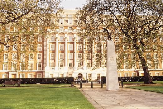
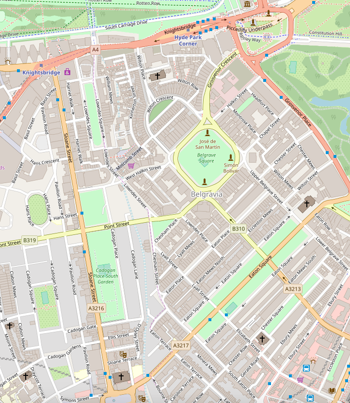
Belgravia () is a Districts of London, district in Central London, covering parts of the areas of both the City of Westminster and the Royal Borough of Kensington and Chelsea. Belgravia was known as the 'Five Fields' Tudor Period, during the Tudor Period, and became a dangerous place due to Highwayman, highwaymen and robberies. It was developed in the early 19th century by Richard Grosvenor, 2nd Marquess of Westminster under the direction of Thomas Cubitt, focusing on numerous grand terraces centred on Belgrave Square and Eaton Square. Much of Belgravia, known as the Grosvenor Group#The Grosvenor Estate, Grosvenor Estate, is still owned by a family property company, the Duke of Westminster's Grosvenor Group, although owing to the Leasehold Reform Act 1967, the estate has been forced to sell many Freehold (law), freeholds to its former tenants. Geography Belgravia is near the former course of the River Westbourne, a tributary of the River Thames. The area is mostly in the Cit ... [...More Info...] [...Related Items...] OR: [Wikipedia] [Google] [Baidu] |
Chelsea Bridge
Chelsea Bridge is a bridge over the River Thames in west London, connecting Chelsea on the north bank to Battersea on the south bank, and split between the City of Westminster, the London Borough of Wandsworth and the Royal Borough of Kensington and Chelsea. There have been two Chelsea Bridges, on the site of what was an ancient ford. The first Chelsea Bridge was proposed in the 1840s as part of a major development of marshlands on the south bank of the Thames into the new Battersea Park. It was a suspension bridge intended to provide convenient access from the densely populated north bank to the new park. Although built and operated by the government, tolls were charged initially in an effort to recoup the cost of the bridge. Work on the nearby Chelsea Embankment delayed construction and so the bridge, initially called Victoria Bridge, did not open until 1858. Although well-received architecturally, as a toll bridge it was unpopular with the public, and Parliament felt oblig ... [...More Info...] [...Related Items...] OR: [Wikipedia] [Google] [Baidu] |
Battersea Park
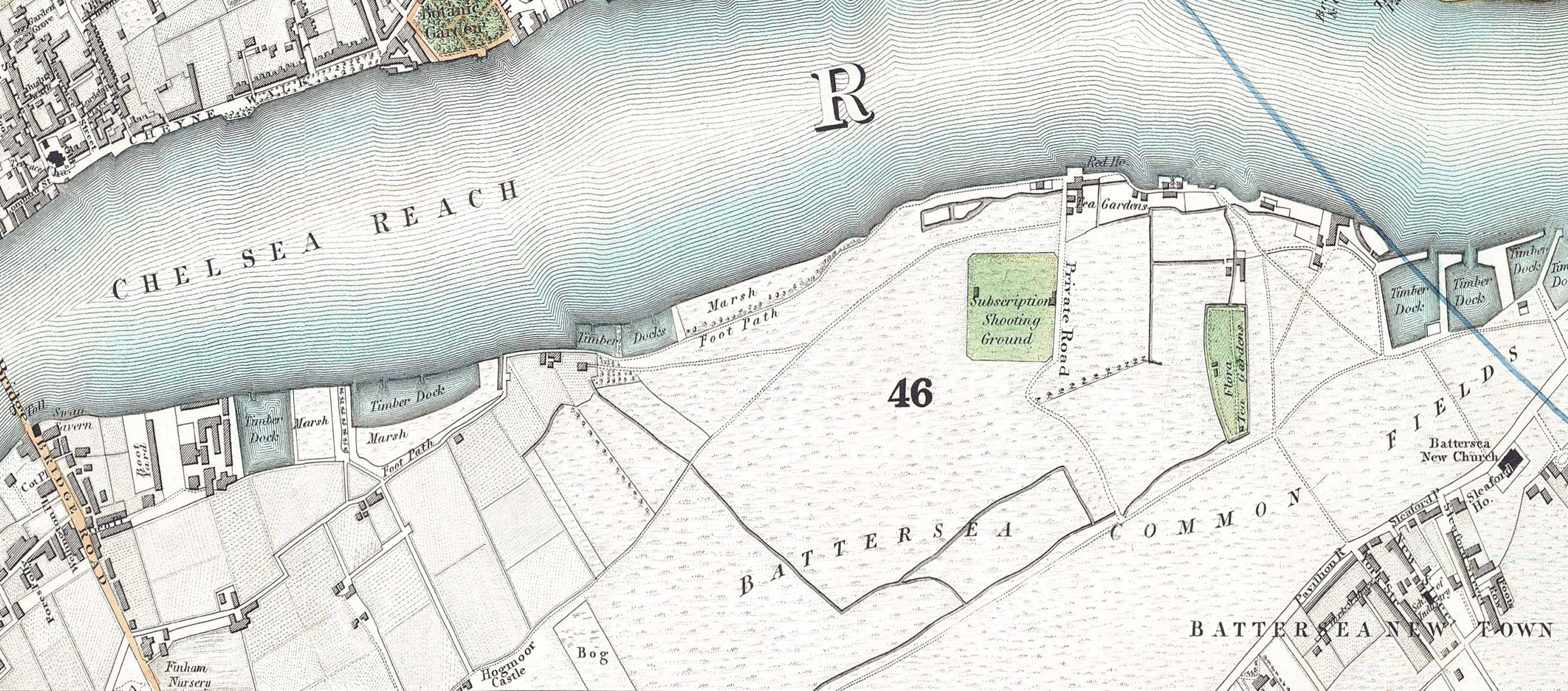
Battersea Park is a 200-acre (83-hectare) green space at Battersea in the London Borough of Wandsworth in London. It is situated on the south bank of the River Thames opposite Chelsea and was opened in 1858. The park occupies marshland reclaimed from the Thames and land formerly used for market gardens. The park is Grade II* listed on the Register of Historic Parks and Gardens. History Prior to 1846, the area now covered by the park was known as Battersea fields, a popular spot for duelling. On 21 March 1829, the Duke of Wellington and the Earl of Winchilsea met on Battersea fields to settle a matter of honour. When it came time to fire, the duke aimed his duelling pistol wide and Winchilsea fired his into the air. Winchilsea later wrote the duke a groveling apology. Separated from the river by a narrow raised causeway, the fields consisted of low, fertile marshes intersected by streams and ditches with the chief crops being carrots, melons, lavender (all the way up to Lave ... [...More Info...] [...Related Items...] OR: [Wikipedia] [Google] [Baidu] |
%2C_6_March_2004.jpg)


_p125_-_Sloane_Square_(map).jpg)
.jpg)


