|
Lomond, Newfoundland And Labrador
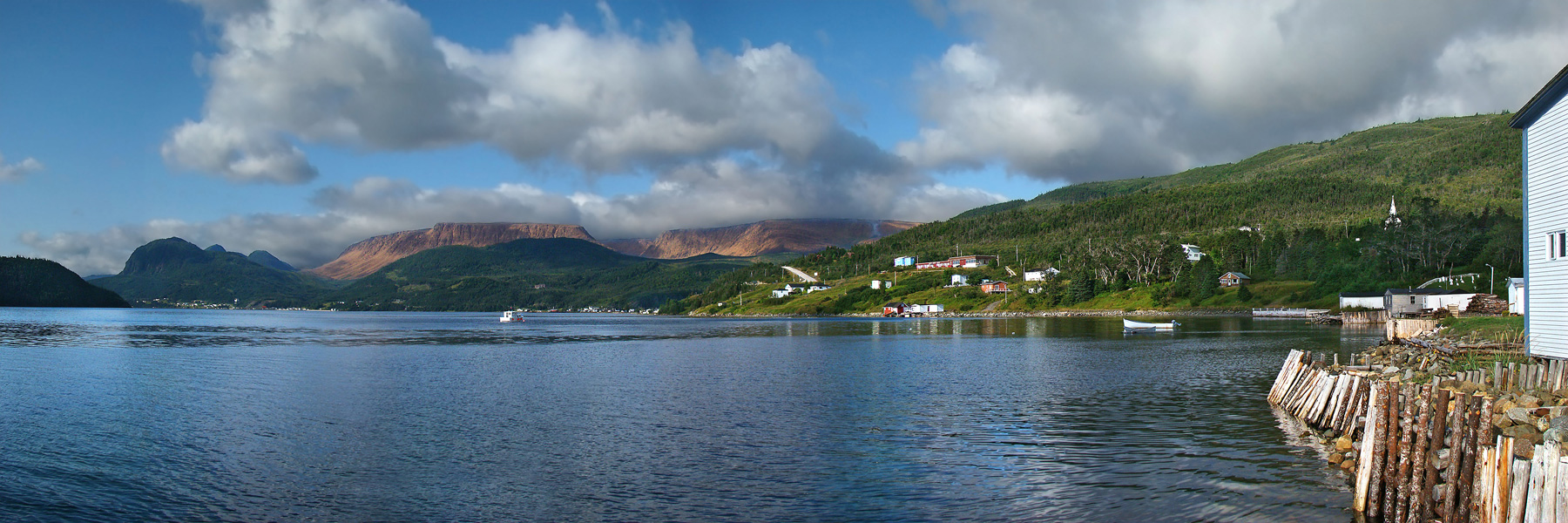
Lomond was a logging town in Newfoundland, Canada, located southeast of Woody Point near Bonne Bay. It developed out of the decline of the fishing industry in the area in the early 20th century and the rise of the logging and pulpwood industries. It was leveled for the creation of the Gros Morne National Park, all of its residents having been resettled as part of the Newfoundland government's general resettlement programme of the 1950s and 1960s. The park's Lomond campground is on the site of the town; by the end of the 20th century, the only structures there were park buildings. References Notes Sources * * * Further reading * * See also * List of communities in Newfoundland and Labrador This article lists unincorporated communities of the province of Newfoundland and Labrador, Canada. Incorporated towns and cities are incorporated municipalities and can be found on List of municipalities in Newfoundland and Labrador. Newfoundl ... Ghost towns in Newfoundland ... [...More Info...] [...Related Items...] OR: [Wikipedia] [Google] [Baidu] |
Newfoundland
Newfoundland and Labrador (; french: Terre-Neuve-et-Labrador; frequently abbreviated as NL) is the easternmost province of Canada, in the country's Atlantic region. The province comprises the island of Newfoundland and the continental region of Labrador, having a total size of 405,212 square kilometres (156,500 sq mi). In 2021, the population of Newfoundland and Labrador was estimated to be 521,758. The island of Newfoundland (and its smaller neighbouring islands) is home to around 94 per cent of the province's population, with more than half residing in the Avalon Peninsula. Labrador borders the province of Quebec, and the French overseas collectivity of Saint Pierre and Miquelon lies about 20 km west of the Burin Peninsula. According to the 2016 census, 97.0 per cent of residents reported English as their native language, making Newfoundland and Labrador Canada's most linguistically homogeneous province. A majority of the population is descended from English and Irish ... [...More Info...] [...Related Items...] OR: [Wikipedia] [Google] [Baidu] |
Bonne Bay
Bonne Bay is a bay in Newfoundland, Canada. It is located on the western coast of Newfoundland and separates the Great Northern Peninsula from the rest of the island. It is a part of Gros Morne National Park. It is separated into two sections: Inner Bonne Bay and Outer Bonne Bay. Inner Bonne Bay consists of two arms, one which is south which has wooded coves and beach landings. Outer Bonne Bay consists of the entrance to the fjord of Bonne Bay. Bonne Bay was carved out approximately 10,000 years ago by two large glaciers in each one of the arms. The glaciers then came together in the middle part of the Bay and continued to push on out to the ocean. Mafic rock underlies the western shores of Bonne Bay, and clastic sedimentary rock is found on the eastern side. Soils on mafic rock belong to the Serpentine Cove Association, while sedimentary rock supports the Cox's Cove Association. Recreation Recreation in Bonne Bay consists of: Gros Morne National Park Gros Morne National ... [...More Info...] [...Related Items...] OR: [Wikipedia] [Google] [Baidu] |
Gros Morne National Park
Gros Morne National Park is a National Parks of Canada, Canadian national park and World Heritage Site located on the west coast of Newfoundland and Labrador, Newfoundland. At , it is the second largest national park in Atlantic Canada after Torngat Mountains National Park, which has an area of . The park takes its name from Newfoundland's second-highest mountain peak (at ) located within the park. Its French meaning is "large mountain standing alone," or more literally "great sombre." Gros Morne is a member of the Long Range Mountains, an outlying range of the Appalachian Mountains, stretching the length of the island's west coast. It is the eroded remnants of a mountain range formed 1.2 billion years ago. In 1987, the park was awarded World Heritage Site status by UNESCO because "The park provides a rare example of the process of continental drift, where deep ocean crust and the rocks of the earth's mantle lie exposed." The Gros Morne National Park Reserve was establis ... [...More Info...] [...Related Items...] OR: [Wikipedia] [Google] [Baidu] |
List Of Communities In Newfoundland And Labrador
This article lists unincorporated communities of the province of Newfoundland and Labrador, Canada. Incorporated towns and cities are incorporated municipalities and can be found on List of municipalities in Newfoundland and Labrador. Newfoundland and Labrador at Confederation in 1949 had nearly 1,450 communities. Today it has fewer than 700. A listing of abandoned communities is found at the List of ghost towns in Newfoundland and Labrador. __NOTOC__ A * Aaron Arm, Burgeo (Newfoundland) * Allan's Island, Lamaline (Newfoundland) * Amherst Cove (Newfoundland) * Angels Cove (Newfoundland) * Angelbrook, Glovertown (Newfoundland) * Apsey Beach (Newfoundland) * Apsey Brook (Newfoundland) * Argentia, Placentia (Newfoundland) * Arnold's Cove Station (Newfoundland) * Aspen Cove (Newfoundland) B * Back Cove, Fogo (Newfoundland) * Back Harbour, Twillingate (Newfoundland) * Bacon Cove, Conception Harbour (Newfoundland) * Badger's Quay, New-Wes-Valley (Newfoundland) * Bailey' ... [...More Info...] [...Related Items...] OR: [Wikipedia] [Google] [Baidu] |


