|
Little Egypt (region)
Southern Illinois, also known as Little Egypt, is the southern third of Illinois, principally along and south of Interstate 64. Although part of a Midwestern state, this region is aligned in culture more with that of the Upland South than the Midwest. Part of downstate Illinois, it is bordered by the two most voluminous rivers in the United States: the Mississippi below its connecting Missouri River to the west and the Ohio River to the east and south with the Wabash as tributary. Southern Illinois' most populated city is Belleville at 44,478. Other principal cities include Alton, Centralia, Collinsville, Edwardsville, Glen Carbon, Godfrey, O'Fallon, Harrisburg, Herrin, West Frankfort, Mt. Vernon, Marion, and Carbondale, where the main campus of Southern Illinois University is located. Residents may also travel to amenities in St. Louis and Cape Girardeau, Missouri; Memphis and Nashville, Tennessee; Evansville, Indiana; and Paducah, Kentucky. The region is hom ... [...More Info...] [...Related Items...] OR: [Wikipedia] [Google] [Baidu] |
Geography Of Illinois
Illinois is in the midwestern United States. Surrounding states are Wisconsin to the north, Iowa and Missouri to the west, Kentucky to the east and south, and Indiana to the east. Illinois also borders Michigan, but only via a northeastern water boundary in Lake Michigan. Nearly the entire western boundary of Illinois is the Mississippi River, except for a few areas where the river has changed course. Illinois' southeastern and southern boundary is along the Wabash River and the Ohio River, whereas its northern boundary and much of its eastern boundary are straight survey (longitudinal and latitudinal) lines. Illinois has a maximum north–south distance of 390 miles (630 km) and 210 miles (340 km) east-west. Its total area is . Statistics *Illinois has a maximum north–south distance of and east-west. *Total area is , ranked 25th in size of the 50 states. *Water area is ; Lake Michigan accounts for most of this. * Charles Mound in the northwest Driftless Area is ... [...More Info...] [...Related Items...] OR: [Wikipedia] [Google] [Baidu] |
Godfrey, Illinois
Godfrey is a village in Madison County, Illinois, United States. The population was 17,982 at the 2010 census. Godfrey is located within the Riverbend portion of the Greater St. Louis metropolitan area. Geography Godfrey is located at (38.948097, -90.202886). According to the 2010 census, Godfrey has a total area of , of which (or 94.55%) is land and (or 5.45%) is water. The southwestern boundary of the village is a wall of limestone bluffs along the Mississippi River. Approximately upstream is the mouth of the Illinois River. The Missouri River empties into the Mississippi downstream. Godfrey retains the status of a village and is a mixture of small business, agriculture, and upper middle class housing developments. History The village is named for Captain Benjamin Godfrey, a native New Englander, who arrived in the area in 1832. 1838 saw the establishment of the Monticello Female Seminary, later renamed Monticello College. Captain Godfrey, the father of eight daughte ... [...More Info...] [...Related Items...] OR: [Wikipedia] [Google] [Baidu] |
Evansville, Indiana
Evansville is a city in, and the county seat of, Vanderburgh County, Indiana, United States. The population was 118,414 at the 2020 census, making it the state's third-most populous city after Indianapolis and Fort Wayne, the largest city in Southern Indiana, and the 249th-most populous city in the United States. It is the central city of the Evansville metropolitan area, a hub of commercial, medical, and cultural activity of southwestern Indiana and the Illinois–Indiana–Kentucky tri-state area, that is home to over 911,000 people. The 38th parallel crosses the north side of the city and is marked on Interstate 69. Situated on an oxbow in the Ohio River, the city is often referred to as the "Crescent Valley" or "River City". Early French explorers named it ''La Belle Rivière'' ("The Beautiful River"). The area has been inhabited by various indigenous cultures for millennia, dating back at least 10,000 years. Angel Mounds was a permanent settlement of the Mississipp ... [...More Info...] [...Related Items...] OR: [Wikipedia] [Google] [Baidu] |
Nashville, Tennessee
Nashville is the capital city of the U.S. state of Tennessee and the seat of Davidson County. With a population of 689,447 at the 2020 U.S. census, Nashville is the most populous city in the state, 21st most-populous city in the U.S., and the fourth most populous city in the southeastern U.S. Located on the Cumberland River, the city is the center of the Nashville metropolitan area, which is one of the fastest growing in the nation. Named for Francis Nash, a general of the Continental Army during the American Revolutionary War, the city was founded in 1779. The city grew quickly due to its strategic location as a port on the Cumberland River and, in the 19th century, a railroad center. Nashville seceded with Tennessee during the American Civil War; in 1862 it was the first state capital in the Confederacy to be taken by Union forces. After the war, the city reclaimed its position and developed a manufacturing base. Since 1963, Nashville has had a consolidated city-co ... [...More Info...] [...Related Items...] OR: [Wikipedia] [Google] [Baidu] |
Memphis, Tennessee
Memphis is a city in the U.S. state of Tennessee. It is the seat of Shelby County in the southwest part of the state; it is situated along the Mississippi River. With a population of 633,104 at the 2020 U.S. census, Memphis is the second-most populous city in Tennessee, after Nashville. Memphis is the fifth-most populous city in the Southeast, the nation's 28th-largest overall, as well as the largest city bordering the Mississippi River. The Memphis metropolitan area includes West Tennessee and the greater Mid-South region, which includes portions of neighboring Arkansas, Mississippi and the Missouri Bootheel. One of the more historic and culturally significant cities of the Southern United States, Memphis has a wide variety of landscapes and distinct neighborhoods. The first European explorer to visit the area of present-day Memphis was Spanish conquistador Hernando de Soto in 1541. The high Chickasaw Bluffs protecting the location from the waters of the Mississipp ... [...More Info...] [...Related Items...] OR: [Wikipedia] [Google] [Baidu] |
Cape Girardeau, Missouri
Cape Girardeau ( , french: Cap-Girardeau ; colloquially referred to as "Cape") is a city in Cape Girardeau and Scott Counties in the U.S. state of Missouri. At the 2020 census, the population was 39,540. The city is one of two principal cities of the Cape Girardeau-Jackson, MO-IL Metropolitan Statistical Area, which encompasses Alexander County, Illinois, Bollinger County, Missouri and Cape Girardeau County, Missouri and has a population of 97,517. The city is the economic center of Southeast Missouri and also the home of Southeast Missouri State University. It is located approximately southeast of St. Louis and north of Memphis. History The city is named after Jean Baptiste de Girardot, who established a temporary trading post in the area around 1733. He was a French soldier stationed at Kaskaskia between 1704 and 1720 in the French colony of '' La Louisiane''. The " Cape" in the city name referred to a rock promontory overlooking the Mississippi River; it was later de ... [...More Info...] [...Related Items...] OR: [Wikipedia] [Google] [Baidu] |
Southern Illinois University
Southern Illinois University is a system of public universities in the southern region of the U.S. state of Illinois. Its headquarters is in Carbondale, Illinois. Board of trustees The university is governed by the nine member SIU Board of Trustees. Seven members are appointed by the governor and confirmed by the state senate. Two members are elected by the student bodies of the Carbondale and Edwardsville campuses. Southern Illinois University Carbondale Founded in Carbondale in 1869 as Southern Illinois Normal College, Southern Illinois University Carbondale (SIUC, usually referred to as SIU) is the flagship campus of the Southern Illinois University system and is the third oldest of Illinois's twelve state universities. SIUC includes six colleges: the College of Agricultural, Life, and Physical Sciences (CALPS), the College of Arts and Media (CAM), the College of Business and Analytics (CoBA), the College of Engineering, Computing, Technology, and Mathematics (CoECT ... [...More Info...] [...Related Items...] OR: [Wikipedia] [Google] [Baidu] |
Southern Illinois University Carbondale
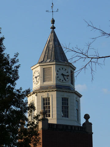
Southern Illinois University (SIU or SIUC) is a public research university in Carbondale, Illinois. Founded in 1869, SIU is the oldest and flagship campus of the Southern Illinois University system. The university enrolls students from all 50 states as well as more than 100 countries. It is classified among "R2: Doctoral Universities – High research activity". SIU offers 3 associate, 100 bachelor's, 73 master's, and 36 Ph.D programs in addition to professional degrees in architecture, law, and medicine. History An Act of the Twenty-sixth General Assembly of Illinois, approved March 9, 1869, created Southern Illinois Normal College, the second state-supported normal school in Illinois. Carbondale held the ceremony of cornerstone laying, May 17, 1870. The first historic session of Southern Illinois Normal University was a summer institute, with a first faculty of eight members and an enrollment of 53 students. It was renamed Southern Illinois University in 1947. The universi ... [...More Info...] [...Related Items...] OR: [Wikipedia] [Google] [Baidu] |
Carbondale, Illinois
Carbondale is a city in Jackson and Williamson Counties, Illinois, United States, within the Southern Illinois region informally known as "Little Egypt". The city developed from 1853 because of the stimulation of railroad construction into the area. Today the major roadways of Illinois Route 13 and U.S. Route 51 intersect in the city. The city is southeast of St. Louis, on the northern edge of the Shawnee National Forest. Carbondale is the home of the main campus of Southern Illinois University (SIU). As of the 2020 census, the city had a population of 25,083, making it the most populous city in Southern Illinois outside the St. Louis Metro-East region. History In August 1853, Daniel Harmon Brush, John Asgill Conner, and Dr. William Richart bought a parcel of land between two proposed railroad station sites (Makanda and De Soto) and two county seats ( Murphysboro and Marion). Brush named Carbondale for the large deposit of coal in the area. The first train through Ca ... [...More Info...] [...Related Items...] OR: [Wikipedia] [Google] [Baidu] |
Marion, Illinois
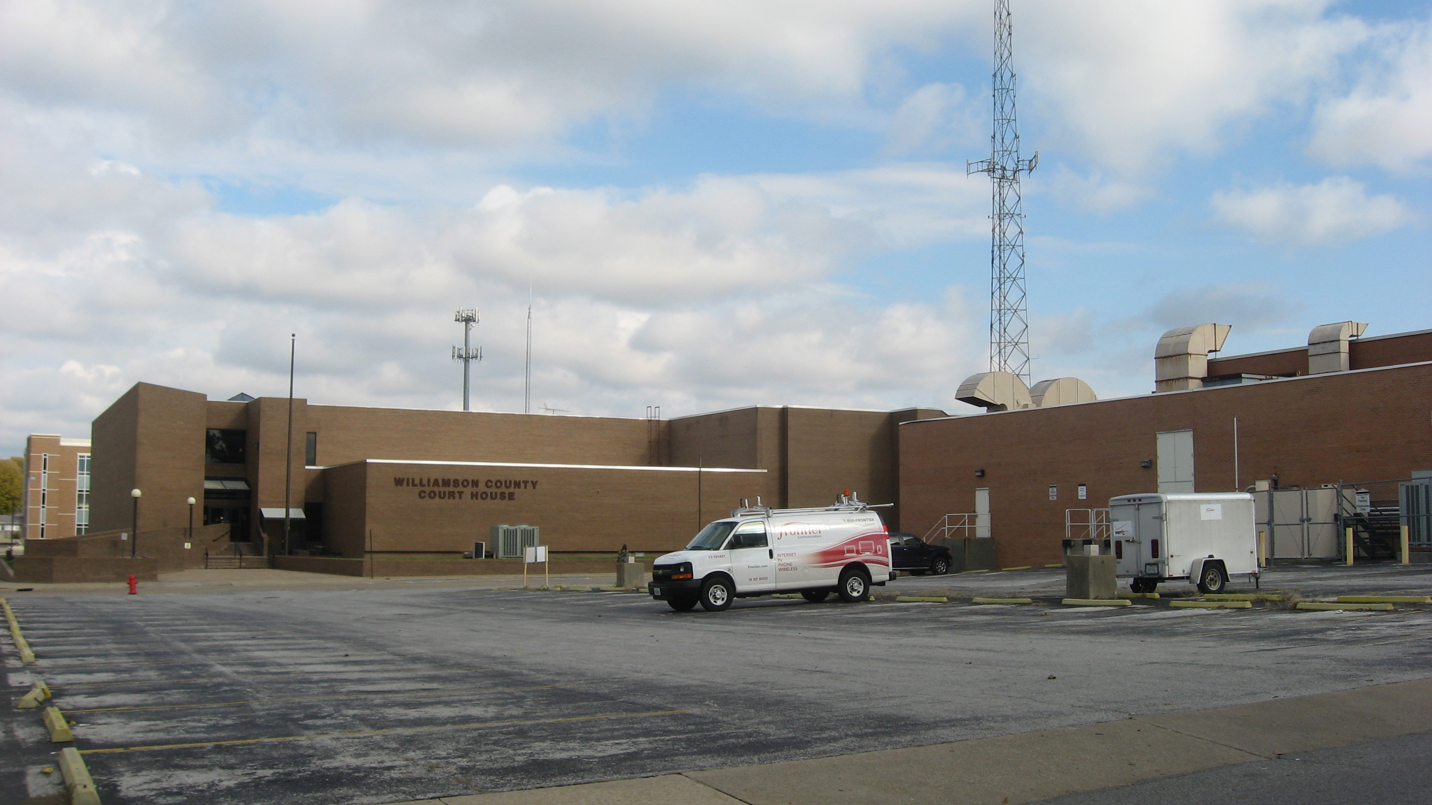
Marion is a city in Williamson and Johnson Counties, Illinois, United States, and is the county seat of Williamson County. The population was 16,855 at the 2020 census. It is part of a dispersed urban area that developed out of the early 20th-century coal fields. Today Marion serves as the largest retail trade center in Southern Illinois with its central location along Interstate 57 and Illinois Route 13. It was dubbed the “Hub of the Universe” by former mayor Robert L. Butler. The city is part of the Marion-Herrin Micropolitan Area and is a part of the Carbondale-Marion- Herrin, Illinois Combined Statistical Area with 123,272 residents, the sixth most populous Combined statistical area in Illinois. History Following the creation of Williamson County out of the south half of Franklin County by the Illinois General Assembly, three commissioners appointed by the lawmakers met at Bainbridge, Illinois, on August 19, 1839, for the purpose of locating a new county seat a ... [...More Info...] [...Related Items...] OR: [Wikipedia] [Google] [Baidu] |
Mount Vernon, Illinois
Mount Vernon is a city in and the county seat of Jefferson County, Illinois, United States. The population was 14,600 at the 2020 census. Mount Vernon is the principal city of the Mount Vernon Micropolitan Statistical Area, which includes all of Jefferson and Hamilton counties. History 19th century Mt. Vernon was founded in 1817 by Zadok Casey, who was elected to the State Senate in 1822 and was elected Lieutenant Governor in 1833. He served in the U.S. Congress between 1833 and 1843. The town was named for George Washington's plantation, Mount Vernon, which was named for Edward Vernon, a British naval hero. When the town was founded, there was no road to it. Travelers had to get there by either following the high ground from the north or crossing the swamps from the south. In the early 19th century the Goshen Road crossed Illinois in a northwesterly direction from Old Shawneetown, Illinois to the Goshen Settlement, near what is now Edwardsville. This road was the main ... [...More Info...] [...Related Items...] OR: [Wikipedia] [Google] [Baidu] |
West Frankfort, Illinois
West Frankfort is a city in Franklin County, Illinois. The population was 8,182 at the 2010 census. The city is well known for its rich history of coal. The city is part of the Metro Lakeland area. History Although one might associate the name "West Frankfort" with the city "Frankfurt" in Germany, or Frankfort in Kentucky, the truth is far more local. Around 1810, early Tennessee settler Francis ("Frank") Jordan and his seven brothers began the construction of no fort atop a hill in present-day Franklin County. Completed in 1811, the fort was named "Frank's Fort," in Jordan's honor.Official City Website Retrieved on October 29, 2007 Frank's Fort was built in today's Williamson County, Ill., near Corinth. A few miles to the east, Francis' brother, Thomas Jordan, built "Jordan's Fort" in Cave Township, Franklin Co ... [...More Info...] [...Related Items...] OR: [Wikipedia] [Google] [Baidu] |


