|
List Of Municipalities Of The Province Of La Spezia
The following is a list of the 32 municipalities (''comuni'') of the Province of La Spezia, Liguria, Italy. List See also *List of municipalities of Italy References {{Province of La Spezia Lists of municipalities of Italy, La Spezia Municipalities in Liguria, ... [...More Info...] [...Related Items...] OR: [Wikipedia] [Google] [Baidu] |
Comuni
The (; plural: ) is a local administrative division of Italy, roughly equivalent to a township or municipality. It is the third-level administrative division of Italy, after regions ('' regioni'') and provinces (''province''). The can also have the title of ('city'). Formed ''praeter legem'' according to the principles consolidated in medieval municipalities, the is provided for by art. 114 of the Constitution of Italy. It can be divided into ''frazioni'', which in turn may have limited power due to special elective assemblies. In the autonomous region of the Aosta Valley, a ''comune'' is officially called a ''commune'' in French. Overview The provides essential public services: registry of births and deaths, registry of deeds, and maintenance of local roads and public works. Many have a '' Polizia Comunale'' (communal police), which is responsible for public order duties. The also deal with the definition and compliance with the (general regulator plan), a document ... [...More Info...] [...Related Items...] OR: [Wikipedia] [Google] [Baidu] |
Follo, Liguria
Follo (locally ) is a ''comune'' (municipality) in the Province of La Spezia in the Italy, Italian region Liguria, located about southeast of Genoa and about northeast of La Spezia, between the Val di Vara, the Gulf of La Spezia and the Val di Magra plain. Follo borders the following municipalities: Beverino, Bolano, Calice al Cornoviglio, La Spezia, Podenzana, Riccò del Golfo di Spezia, Vezzano Ligure. References External links Official website Cities and towns in Liguria {{Liguria-geo-stub ... [...More Info...] [...Related Items...] OR: [Wikipedia] [Google] [Baidu] |
Santo Stefano Di Magra
Santo Stefano di Magra ( lij, San Steva, Lunigiano egl, Sa' Steu) is a ''comune'' (municipality) in the Province of La Spezia in the Italian region Liguria, located about southeast of Genoa and about northeast of La Spezia. It is located near the confluence of torrent Vara into the Magra river. It is part of the Montemarcello-Magra Natural Regional Park. It has an entrance and exit to the toll-paying "Autostrada" The municipality of Santo Stefano di Magra contains the ''frazioni'' (subdivisions, mainly villages and hamlets) Ponzano Magra, Ponzano Belaso, and Ponzano Superiore. Santo Stefano di Magra borders the following municipalities: Aulla, Bolano, Sarzana, Vezzano Ligure. History Founded before 1000 AD, Santo Stefano is remembered as a marketplace in 981 by Emperor Otto II and in 1185 by Emperor Frederick I. It was a stage across the Via Francigena, with a hospice housing pilgrims and travellers. Around 1200 it is first mentioned on a written source, in the event of the ... [...More Info...] [...Related Items...] OR: [Wikipedia] [Google] [Baidu] |
Rocchetta Di Vara
Rocchetta di Vara ( lij, A Rocheta) is a ''comune'' (municipality) in the Province of La Spezia in the Italian region Liguria, located about southeast of Genoa and about north of La Spezia. Rocchetta di Vara borders the following municipalities: Beverino, Borghetto di Vara, Brugnato, Calice al Cornoviglio, Mulazzo, Zeri, Zignago Zignago ( lij, Zignego, locally ) is a ''comune'' (municipality) in the Province of La Spezia in the Italian region Liguria, located about east of Genoa and about north of La Spezia. Zignago borders the following municipalities: Brugnato, Rocc .... References Cities and towns in Liguria {{Liguria-geo-stub ... [...More Info...] [...Related Items...] OR: [Wikipedia] [Google] [Baidu] |
Riomaggiore
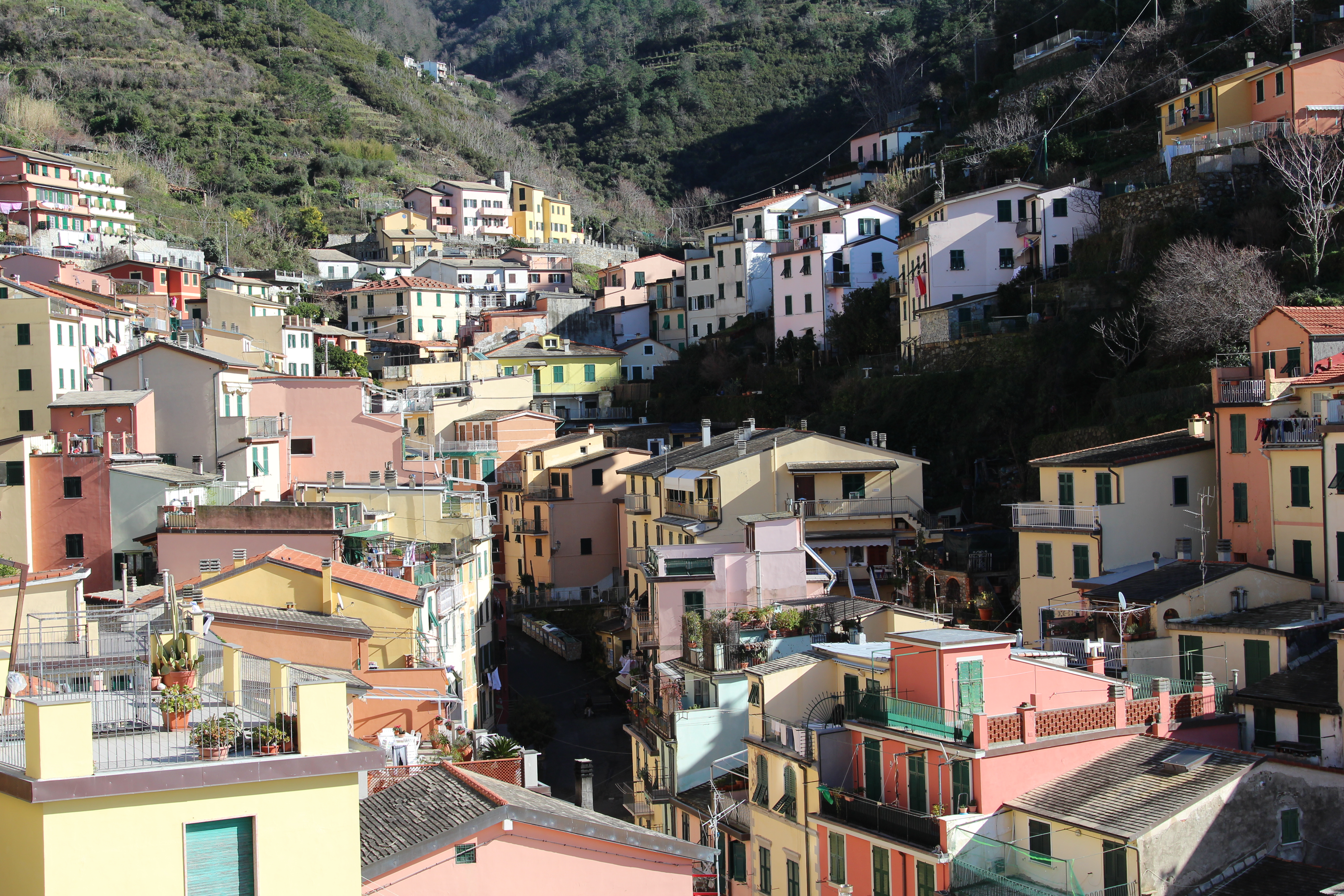
Riomaggiore ( lij, Rimazzô, locally ) is a village and commune in the province of La Spezia, situated in a small valley in the Liguria region of Italy. It is the first of the Cinque Terre one meets when travelling north from La Spezia. The village, dating from the early thirteenth century, is known for its historic character and wine produced by the town's vineyards. Riomaggiore is in the Riviera di Levante region. It has a shoreline on the Mediterranean's Gulf of Genoa, with a small beach and a wharf framed by tower houses. Riomaggiore's main street is Via Colombo, where numerous restaurants, bars, and shops can be found. The '' Via dell'Amore'' is a path connecting Riomaggiore to its ''frazione'' Manarola, also part of the Cinque Terre. Riomaggiore is the most southern village of the five Cinque Terre, all connected by trail. The water and mountainside have been declared national parks. Riomaggiore inspired paintings by Telemaco Signorini (1835–1901), one o ... [...More Info...] [...Related Items...] OR: [Wikipedia] [Google] [Baidu] |
Riccò Del Golfo Di Spezia
Riccò del Golfo di Spezia ( lij, Ricò, lat, Ricotium) is a ''comune'' (municipality) in the Province of La Spezia in the Italian region Liguria, located about southeast of Genoa and about northeast of La Spezia. Physical Geography The territory of Riccò del Golfo lies in the southernmost part of the middle and lower val di Vara, in the minor valley of the Riccò affluent of the Vara River, behind the Gulf of La Spezia. The territory is part of the Regional Nature Park of Montemarcello-Magra-Vara. A woodland path, which passes by the village of Casella and the Sella della Cigoletta, marked as number 7 by the CAI, affords a connection with Vernazza and thus the coast of the Cinque Terre. Infrastructure and Transportation Roads The municipal territory of Riccò del Golfo di Spezia is crossed principally by the strada statale 1 Via Aurelia which affords a road link with Beverino, to the north, and the provincial capital La Spezia to the south. Further territorial road ... [...More Info...] [...Related Items...] OR: [Wikipedia] [Google] [Baidu] |
Portovenere
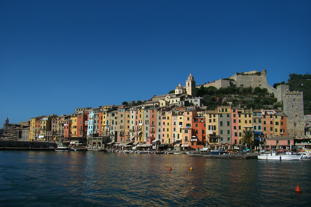
Porto Venere (; until 1991 ''Portovenere''; lij, Pòrtivene) is a town and ''comune'' (municipality) located on the Ligurian coast of Italy in the province of La Spezia. It comprises the three villages of Fezzano, Le Grazie and Porto Venere, and the three islands of Palmaria, Tino and Tinetto. In 1997 Porto Venere and the villages of Cinque Terre were designated by UNESCO as a World Heritage Site. History The ancient ''Portus Veneris'' is believed to date back to at least the middle of the 1st century BC. It has been said that the name refers to a temple to the goddess Venus which was sited on the promontory where the church of Peter the Apostle now stands. The name has also been linked to that of the hermit Saint Venerius. In Roman times the city was essentially a fishing community. After the fall of the Western Roman Empire, Porto Venere became the base of the Byzantine fleet in the northern Tyrrhenian Sea, but was destroyed by the Lombards in 643 AD. Later, it ... [...More Info...] [...Related Items...] OR: [Wikipedia] [Google] [Baidu] |
Pignone
Pignone ( lij, Pignon; locally ) is a ''comune'' (municipality) in the Province of La Spezia in the Italian region Liguria, located about southeast of Genoa and about northwest of La Spezia. As of 31 December 2004, it had a population of 654 and an area of .All demographics and other statistics: Italian statistical institute Istat. The municipality of Pignone contains the ''frazione'' (subdivision) Casale. Pignone borders the following municipalities: Beverino, Borghetto di Vara, Levanto, Monterosso al Mare, Vernazza Vernazza ( lij, Vernassa, locally ; la, Vulnetia) is a town and located in the province of La Spezia, Liguria, northwestern Italy. It is one of the five towns that make up the Cinque Terre region. Vernazza is the fourth town heading north, h .... Demographic evolution Colors= id:lightgrey value:gray(0.9) id:darkgrey value:gray(0.8) id:sfondo value:rgb(1,1,1) id:barra value:rgb(0.6,0.7,0.8) ImageSize = width:455 height:303 PlotArea = left: ... [...More Info...] [...Related Items...] OR: [Wikipedia] [Google] [Baidu] |
Ortonovo
Ortonovo is a ''frazione'' (borough) in the comune of Luni in the Province of La Spezia, Liguria, north-western Italy. It is located about southeast of Genoa Genoa ( ; it, Genova ; lij, Zêna ). is the capital of the Italian region of Liguria and the List of cities in Italy, sixth-largest city in Italy. In 2015, 594,733 people lived within the city's administrative limits. As of the 2011 Italian ce ... and about east of La Spezia. Until April 2017 it was the name of the commune including both Ortonovo and Luni. Main sights The ancient town is surrounded by a line of walls with two entrances. In the central square is the Guinigi Tower, today the campanile of the church of St. Lawrence (17th century) but once connected to a now disappeared castle. Other sights include: * Church of Sts. James and Philip (15th century) * Sanctuary of Mirteto (16th century) * Castle of Volpiglione Frazioni of the Province of La Spezia Former municipalities of Liguria {{Liguria- ... [...More Info...] [...Related Items...] OR: [Wikipedia] [Google] [Baidu] |
Monterosso Al Mare
Monterosso al Mare ( lij, Munterussu) is a town and ''comune'' in the province of La Spezia, part of the region of Liguria, Northern Italy. It is one of the five villages in Cinque Terre. Overview Twinned to Saint-Genès-Champanelle, France, Monterosso al Mare is located at the center of a small natural gulf, protected by a small artificial reef, to the east of Punta Mesco in the Riviera of La Spezia. It is the westernmost of the Cinque Terre. In the west part of the original village, beyond the hill of the Capuchins, it is the village of Fegina, natural expansion and characterized by a relatively modern tourist resort facility compared to the ancient village that is reachable through a tunnel of a few tens of meters. The local train station is located at Fegina and the beaches are relatively larger compared to the narrow cliffs that characterize the other villages of the Cinque Terre. The town is divided into two distinct parts: the old town and the new town. The two areas are ... [...More Info...] [...Related Items...] OR: [Wikipedia] [Google] [Baidu] |
Maissana
Maissana ( lij, Maissann-a) is a ''comune'' (municipality) in the Province of La Spezia in the Italian region Liguria, located about east of Genoa and about northwest of La Spezia. This is also the coldest village in the province, with average winter temperatures ranging from a minimum of to a maximum of . Snowfalls are frequent and heavy. In February 2009, in just one night of fresh snow has fallen. Maissana borders the following municipalities: Carro, Casarza Ligure, Castiglione Chiavarese, Ne, Varese Ligure Varese Ligure ( lij, Vaise ) is a ''comune'' (municipality) in the Province of La Spezia in the Italian region Liguria, located about east of Genoa and about northwest of La Spezia. Varese Ligure borders the following municipalities: Albareto, .... References External links * Cities and towns in Liguria {{Liguria-geo-stub ... [...More Info...] [...Related Items...] OR: [Wikipedia] [Google] [Baidu] |
Levanto, Liguria
Levanto (; lij, Lévanto or , locally ) is a (municipality) in the province of La Spezia in the Italian region of Liguria, located almost southeast of Genoa and about northwest of La Spezia. The town is on the coast at the mouth of a river valley, between hills thickly wooded with olive and pine trees. The ridges on either side of the valley thrust out into the sea as the headlands of Mesco and Levanto. The municipality forms part of the coastal district known as the Comunità Montana della Riviera Spezzina, and part of its territory is included in the Cinque Terre National Park. History In Roman times there was already a small settlement there by the name of Ceula, an important nodal point due to its location and harbour. At the beginning of the 9th century, the bell tower of the present church, the Chiesa di San Siro, served as a watchtower and as a defence against dangers from the sea. From the 13th century, however, the importance of the area began to decline – t ... [...More Info...] [...Related Items...] OR: [Wikipedia] [Google] [Baidu] |


-3.jpg)

