|
List Of Extreme Points Of Romania
This is a list of the extreme points of Romania, the points that are farther north, south, east or west than any other location. Latitude and longitude *Northernmost point: Horodiștea, a village in Botoșani County, on the border with Moldova, **''Historical: Babin, Cernăuți County (now Babyn, Chernivtsi Oblast, Ukraine)'' *Southernmost point: Zimnicea, a town in Teleorman County, on the border with Bulgaria, **''Historical: Ecrene, Caliacra County (now Kranevo, Dobrich Province, Bulgaria)'' *Westernmost point: Beba Veche, a village in Timiș County, on the border with Hungary and Serbia, *Easternmost point: Sulina, a town in Tulcea County, on the Danube Delta, . Also the easternmost point in the contiguous EU (22 states). **''Historical: Bugaz, Cetatea Albă County (now Zatoka, Odessa Oblast, Ukraine)'' Height * Highest Point: Moldoveanu Peak, in the Făgăraș Mountains, (2,544 m), * Lowest Point: Black Sea shore See also * Geography of Romania * Extreme points of ... [...More Info...] [...Related Items...] OR: [Wikipedia] [Google] [Baidu] |
Romania
Romania ( ; ro, România ) is a country located at the crossroads of Central Europe, Central, Eastern Europe, Eastern, and Southeast Europe, Southeastern Europe. It borders Bulgaria to the south, Ukraine to the north, Hungary to the west, Serbia to the southwest, Moldova to the east, and the Black Sea to the southeast. It has a predominantly Temperate climate, temperate-continental climate, and an area of , with a population of around 19 million. Romania is the List of European countries by area, twelfth-largest country in Europe and the List of European Union member states by population, sixth-most populous member state of the European Union. Its capital and largest city is Bucharest, followed by Iași, Cluj-Napoca, Timișoara, Constanța, Craiova, Brașov, and Galați. The Danube, Europe's second-longest river, rises in Germany's Black Forest and flows in a southeasterly direction for , before emptying into Romania's Danube Delta. The Carpathian Mountains, which cross Roma ... [...More Info...] [...Related Items...] OR: [Wikipedia] [Google] [Baidu] |
Beba Veche
Beba Veche ( hu, Óbéba; german: Altbeba; sr, Стара Беба, Stara Beba) is a commune in Timiș County. It is composed of three villages: Beba Veche, Cherestur ( hu, Pusztakeresztúr), and Pordeanu ( hu, Porgány). Beba Veche is the westernmost settlement in Romania. Geography Located on the border with Hungary and Serbia, the village is crossed by the 20°15′44″ meridian east in the westernmost point of Romania, called '' Triplex Confinium'', where the borders of the three countries meet. Geographically, it is located in the Torontal Plain, at an average altitude of . The nearest settlement is Kübekháza in Hungary, about away, to which Beba Veche was connected in the past by a direct road. The nearest town is Sânnicolau Mare, away. The only access road to Beba Veche is the county road DJ682 Sânnicolau Mare–Beba Veche. The closest railway station is Dudeștii Vechi, some away. Climate Beba Veche is dominated by a moderate continental climate with Mediterrane ... [...More Info...] [...Related Items...] OR: [Wikipedia] [Google] [Baidu] |
Extreme Points Of Europe
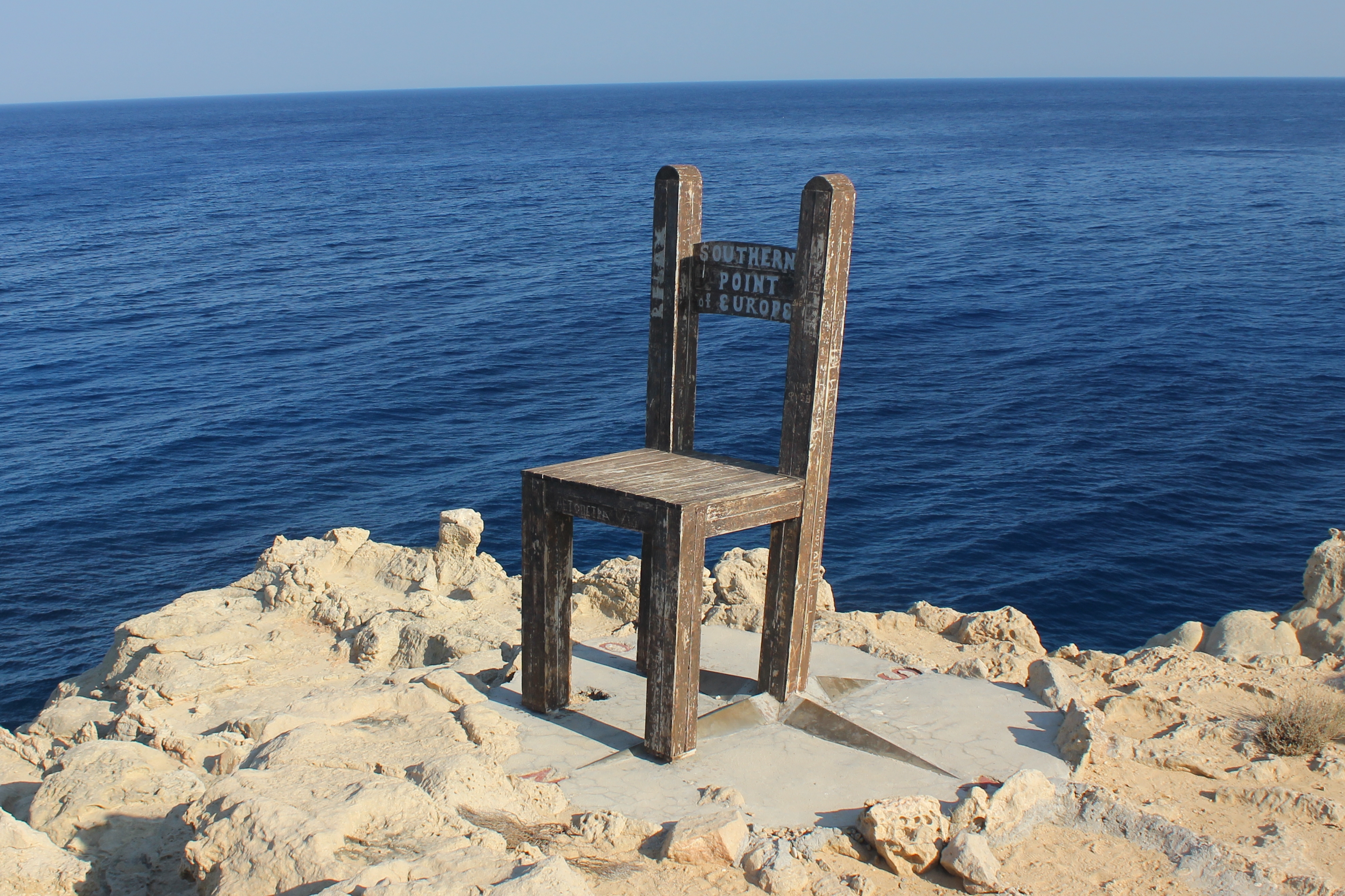
This is a list of the extreme points of Europe: the geographical points that are higher or farther north, south, east or west than any other location in Europe. Some of these positions are open to debate, as the definition of Europe is diverse. Extremes of the European continent, including islands *Northernmost point. Cape Fligely, Rudolf Island, Franz Josef Land, Russia (81° 48′ 24″ N). Franz Josef Land is near the ill-defined border between Europe and Asia; if it is not considered a part of Europe, then the northernmost point is on the island of Rossøya, Svalbard, Norway ( 81°N). *Southernmost point. Cape Trypiti, Gavdos Island, Greece (34° 48′ 02″ N) is the least ambiguous southernmost point of Europe. However, there are other contenders, depending on definition. The island of Cyprus has cultural links with Europe and it is also part of European Union; Cyprus's southernmost point is the British base at Akrotiri (34°35′N). The Portuguese islands of Madeira are ... [...More Info...] [...Related Items...] OR: [Wikipedia] [Google] [Baidu] |
Geography Of Romania
With an area of , Romania is the twelfth-largest country in Europe. Located in Central and Southeastern Europe, bordering on the Black Sea, the country is halfway between the equator and the North Pole and equidistant from the westernmost part of Europe—the Atlantic Coast—and the most easterly—the Ural Mountains. Romania has of border. Republic of Moldova and Ukraine lie to the east, Bulgaria lies to the south, and Serbia and Hungary to the west. In the southeast, of sea coastline provide an important outlet to the Black Sea and the Atlantic Ocean. History Traditionally Romania is divided into several historic regions that no longer perform any administrative function: Dobruja is the easternmost region, extending from the northward course of the Danube to the shores of the Black Sea. Moldavia stretches from the Eastern Carpathians to the Prut River on the Moldovan and Ukrainian border. Wallachia reaches south from the Transylvanian Alps to the Bulgarian border an ... [...More Info...] [...Related Items...] OR: [Wikipedia] [Google] [Baidu] |
Black Sea
The Black Sea is a marginal mediterranean sea of the Atlantic Ocean lying between Europe and Asia, east of the Balkans, south of the East European Plain, west of the Caucasus, and north of Anatolia. It is bounded by Bulgaria, Georgia, Romania, Russia, Turkey, and Ukraine. The Black Sea is supplied by major rivers, principally the Danube, Dnieper, and Don. Consequently, while six countries have a coastline on the sea, its drainage basin includes parts of 24 countries in Europe. The Black Sea covers (not including the Sea of Azov), has a maximum depth of , and a volume of . Most of its coasts ascend rapidly. These rises are the Pontic Mountains to the south, bar the southwest-facing peninsulas, the Caucasus Mountains to the east, and the Crimean Mountains to the mid-north. In the west, the coast is generally small floodplains below foothills such as the Strandzha; Cape Emine, a dwindling of the east end of the Balkan Mountains; and the Dobruja Plateau considerably farth ... [...More Info...] [...Related Items...] OR: [Wikipedia] [Google] [Baidu] |
Făgăraș Mountains
The Făgăraș Mountains ( ro, Munții Făgărașului ; hu, Fogarasi-havasok) are the highest mountains of the Southern Carpathians, in Romania. Geography The mountain range is situated in the heart of Romania, at . The range is bordered in the north by the Făgăraș Depression, through which the Olt River flows, and in the west by the Olt Valley (Valea Oltului). Despite its name, Făgăraș, located to the north, is not the nearest town to the mountain range, which has no major settlements. Other important surrounding cities are Brașov and Sibiu. Glacier lakes include Bâlea (2,034 m, 46,508 m2, 11.35 m deep), the largest. The highest lake is in the Hărtopul Leaotei glacial valley. The deepest glacial lake is Podragu (2,140 m, 28,550 m2; 15.5 m deep). Other lakes are Urlea (2,170 m, 20,150 m2) and Capra (2,230 m, 18,340 m2). The highest peaks are: *''Moldoveanu'' — *''Negoiu'' — *''Viștea Mare'' — *'' Lespezi'' ... [...More Info...] [...Related Items...] OR: [Wikipedia] [Google] [Baidu] |
Moldoveanu Peak
Moldoveanu Peak ( ro, Vârful Moldoveanu, ; "Moldavian Peak"), at , is the highest mountain peak in Romania.2017 Romanian Statistical Yearbook p. 11 It is located in , in the of the . The most popular routes to reach Moldoveanu are over the |
Cetatea Albă County
Cetatea Albă County was a county (județ) of Romania between 1925 and 1938 and between 1941 and 1944, in Bessarabia, with the capital city at Cetatea Albă. It had an area of and a population of 340,459 as of the 1930 census. Geography The county was located in the eastern part of Greater Romania, in the south of the historical region of Bessarabia. Currently, the territory of the former county is partly administered by Odessa Oblast of Ukraine. It was bordered to the west by Cahul County, to the north by Tighina County, to the south by Ismail County, to the east by the Odessa Oblast of the USSR, and in the southeast the county bordered the Black Sea. Administration The county originally consisted of six districts ('' plăși''): #Plasa Cazaci, headquartered at #Plasa Tarutino, headquartered at Tarutina #Plasa Tașlâc, headquartered at Arciz #Plasa Tatar-Bunar, headquartered at Tatar-Bunar #Plasa Tuzla, headquartered at Cetatea Albă #Plasa Volintiri, headquartered at V ... [...More Info...] [...Related Items...] OR: [Wikipedia] [Google] [Baidu] |
Bugaz
Zatoka (; ro, Zatoca or ) is an urban-type settlement in Bilhorod-Dnistrovskyi Raion, Odesa Oblast, in southwestern Ukraine. It belongs to Karolino-Buhaz rural hromada, one of the hromadas of Ukraine. The population of Zatoka is . Its name comes from the Ukrainian-language word , meaning "bay". The settlement is a local beach resort. Additionally, Zatoka contains a small port named Buhaz, which has a single pier and is part of the Port of Bilhorod-Dnistrovsky. The settlement is located on a sand spit of the Dniester Estuary next to where the Dniester flows into the Black Sea. It is 60 km from Odesa and 18 km from the city of Bilhorod-Dnistrovskyi in Odesa Oblast, in the historical region of Budjak or southern Bessarabia. Zatoka Bridge opened in 1955 and carries the R70 national road and the railway line from Odesa to Bessarabia. History On 19 September 2015, local Euromaidan activist Andriy Yusov was beaten up in the town by people with pro-Russian views. Until 18 July 2020, ... [...More Info...] [...Related Items...] OR: [Wikipedia] [Google] [Baidu] |
Danube Delta
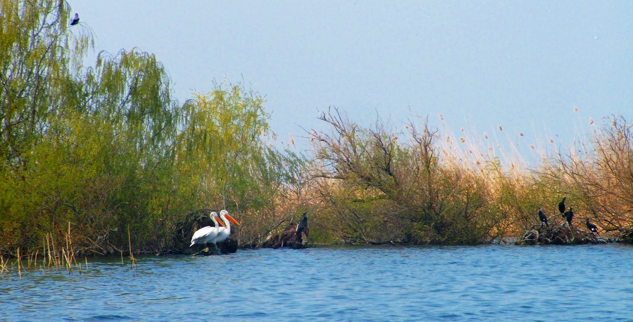
The Danube Delta ( ro, Delta Dunării, ; uk, Дельта Дунаю, Deľta Dunaju, ) is the second largest river delta in Europe, after the Volga Delta, and is the best preserved on the continent. The greater part of the Danube Delta lies in Romania (Tulcea County), with a small part in Ukraine (Odessa Oblast). Its approximate surface area is , of which is in Romania. With the lagoons of Razim–Sinoe ( with water surface), located south of the main delta, the total area of the Danube Delta is . The Razim–Sinoe lagoon complex is geologically and ecologically related to the delta proper; the combined territory is listed as a World Heritage Site. Geography and geology The modern Danube Delta began to form after 4000 BCE in a bay of the Black Sea when the sea rose to its present level. A sandy barrier blocked the Danube bay where the river initially built its delta. Upon filling the bay with sediment, the delta advanced outside this barrier-blocked estuary after 3500 BCE, b ... [...More Info...] [...Related Items...] OR: [Wikipedia] [Google] [Baidu] |
Tulcea County
Tulcea County () is a county ( județ) of Romania, in the historical region Dobruja, with the capital city at Tulcea. It includes in its northeast corner the large and thinly-populated estuary of the Danube. Demographics In 2011, Tulcea County had a population of 201,462. The population density was 23.7/km², the lowest among the counties of Romania, due to the inclusion within the area of the lowly-populated Danube estuarial wetlands. * Romanians - 89.13% * Lipovans - 5.41% * Turks - 0.93% * Romani - 1.87% * Greeks - 0.65% In the Danube Delta there is an important community of Russians and Lipovans. In the south of the county there are communities of Turks. The region once was a centre of Islam in Romania. Geography The county has a total area of . The most significant feature of Tulcea County is the Danube Delta, which occupies about 1/3 of the entire surface and is located in the North-East side of the county. The Delta has three main branches: the Sulina bran ... [...More Info...] [...Related Items...] OR: [Wikipedia] [Google] [Baidu] |
Sulina
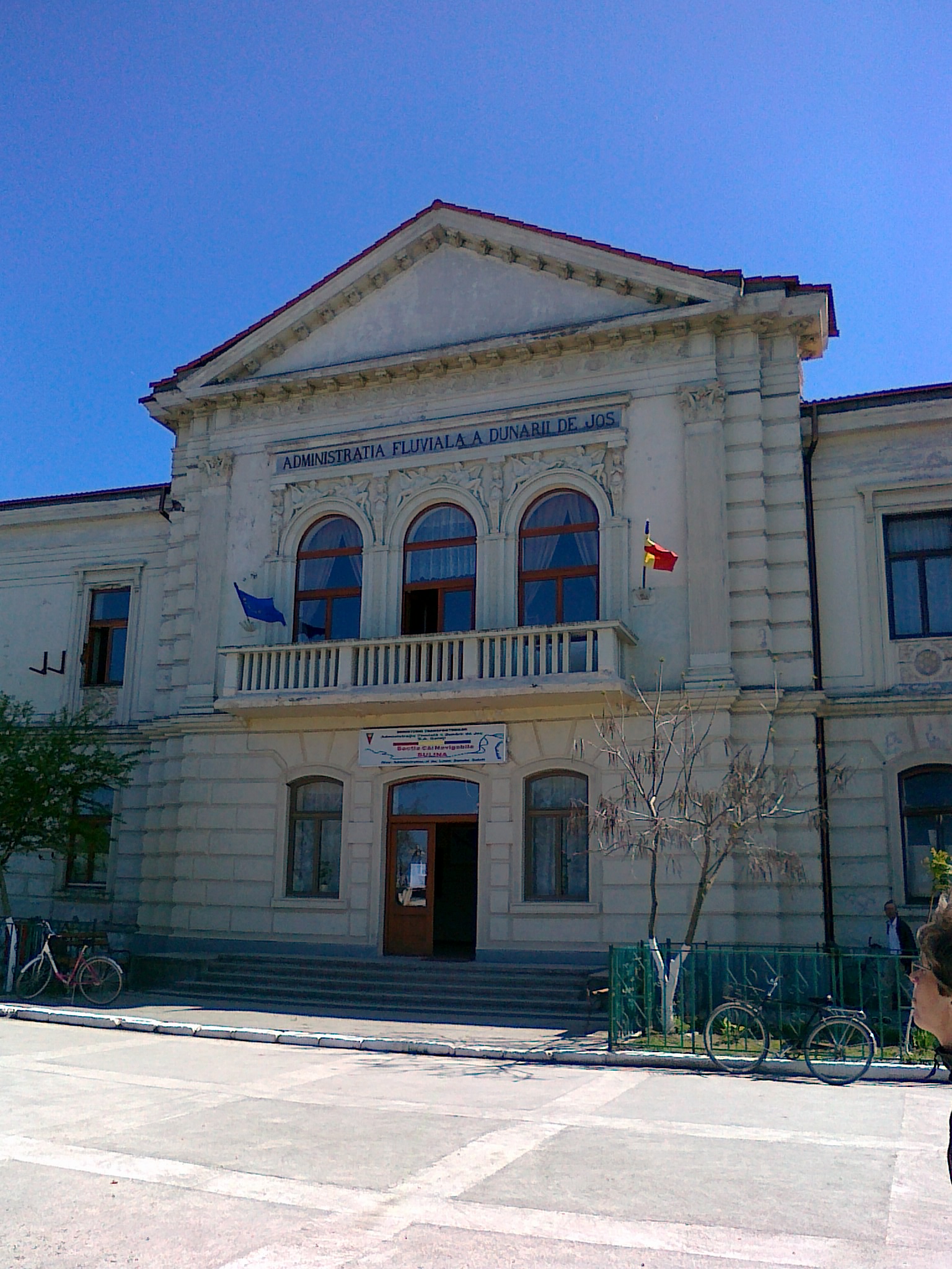
Sulina () is a town and free port in Tulcea County, Northern Dobruja, Romania, at the mouth of the Sulina branch of the Danube. It is the easternmost point of Romania. History During the mid-Byzantine period, Sulina was a small cove, and in the 14th century, a Genoese port inhabited by a handful of sailors, pirates and fishermen. In the 18th century, the Ottomans built a lighthouse there in order to facilitate communication between Constantinople (Istanbul) and the Danubian Principalities, the main breadbaskets for the Ottoman capital. Thanks to the signing of the Treaty of Adrianoupolis (Edirne) on September 2, 1829, that unfettered the Danube grain trade, Sulina, by then under Russian control, became an important port. Great sailing boats could not sail fully loaded to Brăila and Galați, which were the main export centres of Wallachia and Moldavia, because of the shallow waters of the river; therefore, they had to tranship at least part of their cargoes to smaller river ... [...More Info...] [...Related Items...] OR: [Wikipedia] [Google] [Baidu] |


