|
List Of Dams And Reservoirs Of The Susquehanna River
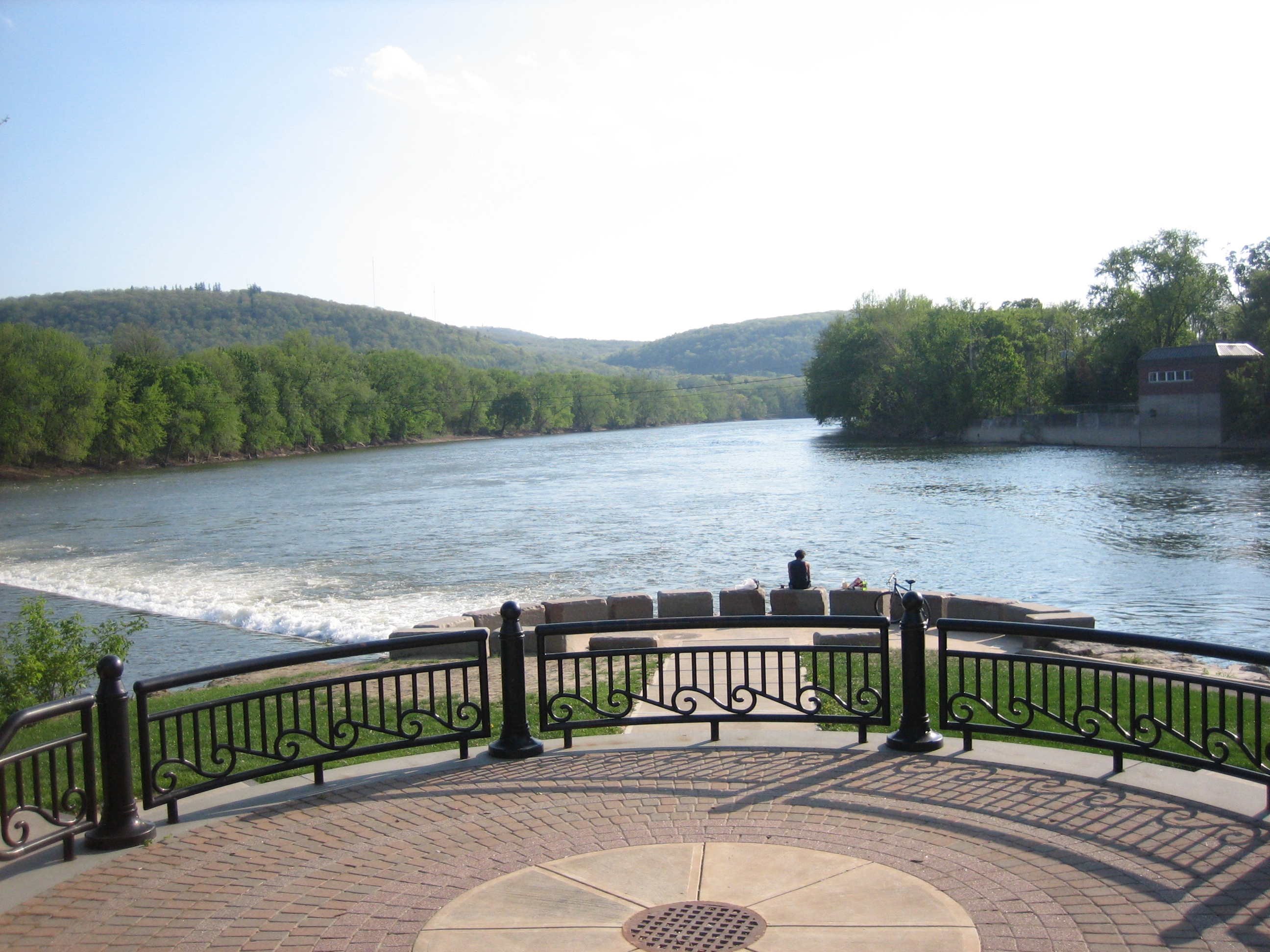
The Susquehanna River, in the Mid-Atlantic States of the United States, has a collection of dams. These dams are used for power generation, flood control, navigation and recreation. These dams have local and regional environmental impacts on the river and the Chesapeake Bay, both positive and negative. Environmental impacts :''And by making it more Susquehanna specific.'' The dams have a positive impact on the environment. They slow water, trapping silt and pollutants. Conowingo Dam is credited with preventing much of the silt from Pennsylvania from reaching the Chesapeake Bay. The dam spillways can add oxygen to the water. The down stream side of dams is favored by aquatic birds, possibly because the fish that pass through the dam are a bit stunned. Conowingo Dam is noted for its bald eagles. Hydroelectric power is considered an environmentally friendly method of power generation. The dams also make a negative impact on the environment. They raise the water leve ... [...More Info...] [...Related Items...] OR: [Wikipedia] [Google] [Baidu] |
Susquehanna River
The Susquehanna River (; Lenape: Siskëwahane) is a major river located in the Mid-Atlantic region of the United States, overlapping between the lower Northeast and the Upland South. At long, it is the longest river on the East Coast of the United States. By watershed area, it is the 16th-largest river in the United States,Susquehanna River Trail Pennsylvania Fish and Boat Commission, accessed March 25, 2010.Susquehanna River , Green Works Radio, accessed March 25, 2010. and also the longest river in ... [...More Info...] [...Related Items...] OR: [Wikipedia] [Google] [Baidu] |
Maryland
Maryland ( ) is a state in the Mid-Atlantic region of the United States. It shares borders with Virginia, West Virginia, and the District of Columbia to its south and west; Pennsylvania to its north; and Delaware and the Atlantic Ocean to its east. Baltimore is the largest city in the state, and the capital is Annapolis. Among its occasional nicknames are '' Old Line State'', the ''Free State'', and the '' Chesapeake Bay State''. It is named after Henrietta Maria, the French-born queen of England, Scotland, and Ireland, who was known then in England as Mary. Before its coastline was explored by Europeans in the 16th century, Maryland was inhabited by several groups of Native Americans – mostly by Algonquian peoples and, to a lesser degree, Iroquoian and Siouan. As one of the original Thirteen Colonies of England, Maryland was founded by George Calvert, 1st Baron Baltimore, a Catholic convert"George Calvert and Cecilius Calvert, Barons Baltimore" William Hand Browne, ... [...More Info...] [...Related Items...] OR: [Wikipedia] [Google] [Baidu] |
Duncannon, Pennsylvania
Duncannon is a borough in Perry County, Pennsylvania, United States. The population was 1,473 at the 2020 census. It is part of the Harrisburg–Carlisle Metropolitan Statistical Area. The center of population of Pennsylvania is located in Duncannon. Lightning Guider Sleds were manufactured in Duncannon from 1904 until 1988. The Appalachian Trail makes its way through the town, going on various streets, and runs mainly along North High Street. It comes off the mountain at 40.3813, -77.0292 lat/long, onto Inn Road. History Duncannon was originally called Petersburg, and under the latter name was laid out in 1792. The present name is derived from Duncan's Island in the Susquehanna River. The Puritan missionary David Brainerd visited the area in the 1740s. In his journal he describes his trip on the Susquehanna and his brief stay with an Indian tribe on Duncan's Island, across the river from present-day Duncannon. The Mutzabaugh family has close connection to the town, as thei ... [...More Info...] [...Related Items...] OR: [Wikipedia] [Google] [Baidu] |
Adam T
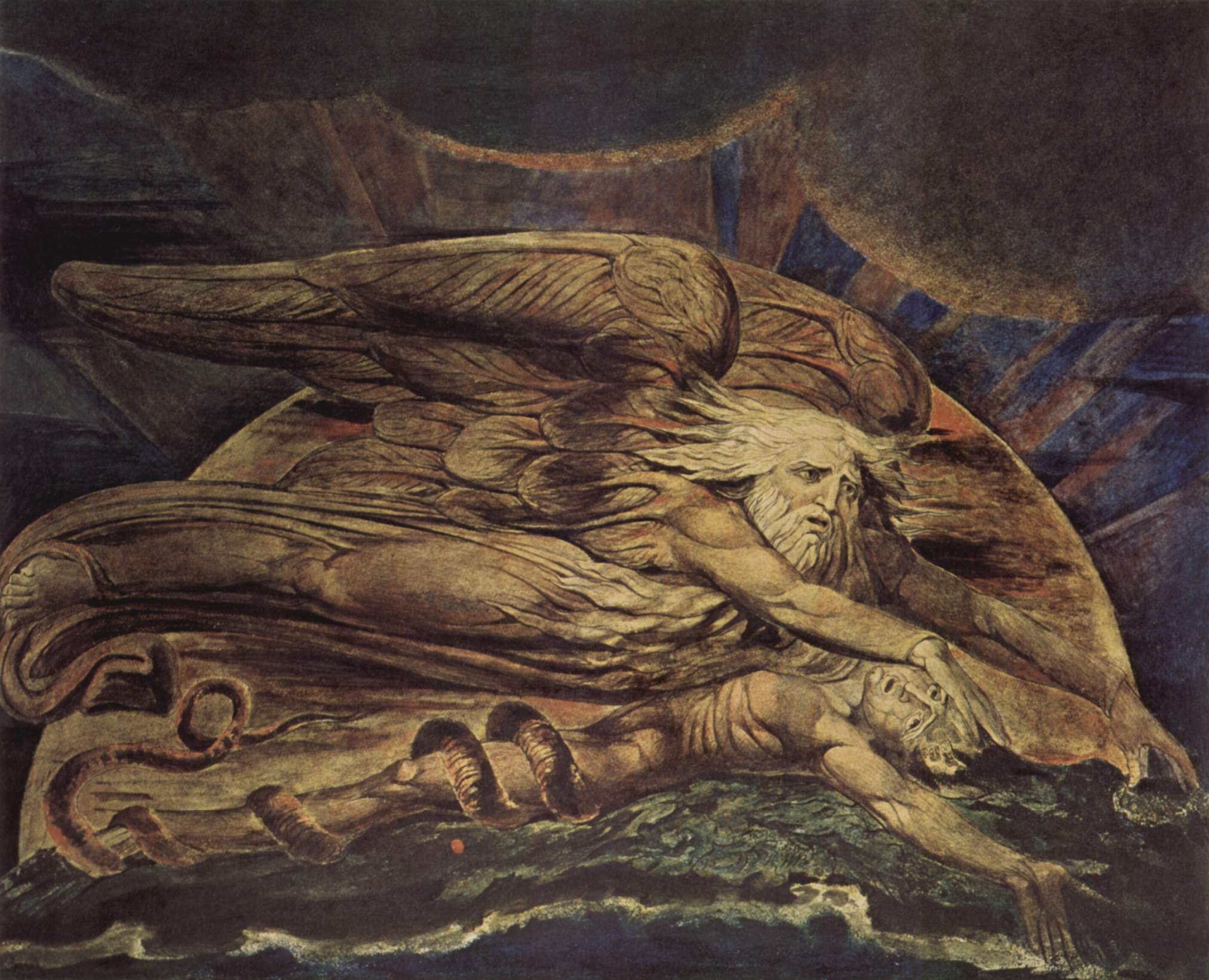
Adam; el, Ἀδάμ, Adám; la, Adam is the name given in Genesis 1-5 to the first human. Beyond its use as the name of the first man, ''adam'' is also used in the Bible as a pronoun, individually as "a human" and in a collective sense as "mankind". tells of God's creation of the world and its creatures, including ''adam'', meaning humankind; in God forms "Adam", this time meaning a single male human, out of "the dust of the ground", places him in the Garden of Eden, and forms a woman, Eve, as his helpmate; in Adam and Eve eat the fruit of the tree of knowledge and God condemns Adam to labour on the earth for his food and to return to it on his death; deals with the birth of Adam's sons, and lists his descendants from Seth to Noah. The Genesis creation myth was adopted by both Christianity and Islam, and the name of Adam accordingly appears in the Christian scriptures and in the Quran. He also features in subsequent folkloric and mystical elaborations in later Judais ... [...More Info...] [...Related Items...] OR: [Wikipedia] [Google] [Baidu] |
Williamsport Dam
The Williamsport Dam, officially known as the Hepburn Street Dam, is a low-head dam on the West Branch Susquehanna River in Williamsport, Pennsylvania. It broke ground in 1984 and was finished in the spring of 1986. It was built for recreation, such as boating, watersports and fishing. It has been described as a "killer dam" and a "drowning machine". Background The old Hepburn Street Dam (pre-1984) was made of wooden timber cribs filled with rock with a 4-inch thick wooden apron on the downstream side. The new dam, constructed in 1984–1986, was built for recreation. Before the dam was built, the average depth of the West Branch Susquehanna River was 4.6 feet, with its deepest parts being just under 10 feet deep. Some places were impassable by boat, being only a couple of feet or a few inches deep. Since the construction of the new dam, the average depth of the West Branch Susquehanna is 8.3 feet, with some depths of over 20 feet. Low head dams like this one are known as "drown ... [...More Info...] [...Related Items...] OR: [Wikipedia] [Google] [Baidu] |
Curwensville Dam
Curwensville Dam is located on the West Branch Susquehanna River about 0.6 miles (1 km) upstream from Curwensville in Clearfield County, Pennsylvania. The dam is an earth fill structure 2,850 feet long, rising 131 feet above the stream bed, with a spillway and gate-controlled outlet. The reservoir, Curwensville Lake, has a storage capacity of at spillway crest and extends upstream when filled to that level. The project controls a drainage area of or 98 percent of the West Branch at Curwensville and 75 percent at Clearfield, PA. The project is owned and operated by the United States Army Corps of Engineers , colors = , anniversaries = 16 June (Organization Day) , battles = , battles_label = Wars , website = , commander1 = ....http://www.nab.usace.army.mil/Factsheets/PDFs/Operations/PA-CurwensvilleLake-O&M.pdf Clearfield County operates and ma ... [...More Info...] [...Related Items...] OR: [Wikipedia] [Google] [Baidu] |
Oakland, Susquehanna County, Pennsylvania
Oakland is a borough in Susquehanna County, Pennsylvania, United States. The population of Oakland borough was 564 at the 2020 census. History Oakland Borough was formed from part of Oakland Township on November 14, 1883. It was originally known as North or West Susquehanna, then Oakland village. Novelist, essayist, literary critic, and university professor John Gardner, author of ''Grendel'', '' The Art of Fiction'', '' On Becoming a Novelist'' etc., died in a motorcycle accident here. Geography Oakland is located at (41.949506, -75.608428). According to the United States Census Bureau, the borough has a total area of , of which is land and (11.76%) is water. Demographics As of the census of 2010, there were 616 people, 229 households, and 163 families residing in the borough. The population density was . There were 256 housing units at an average density of . The racial makeup of the borough was 98.4% White, 0.5% African American, 0.6% Asian, and 0.5% from two or mor ... [...More Info...] [...Related Items...] OR: [Wikipedia] [Google] [Baidu] |
Johnson City, New York
Johnson City is a Administrative divisions of New York#Village, village in Broome County, New York, Broome County, New York (state), New York, United States. The population was 15,174 at the 2010 census. It is part of the Binghamton, New York, Binghamton Binghamton metropolitan area, Metropolitan Statistical Area. The village of Johnson City is in the town of Union, New York, Union and is a part of the "Triple Cities" along with Endicott, New York, Endicott and Binghamton. Johnson City lies to the west of Binghamton on the eastern side of the town of Union. History Known as the "Home of the Square Deal", from the George F. Johnson#Endicott-Johnson Co. & The Square Deal, Square Deal given to all employees of Endicott Johnson Corporation, Johnson City was originally incorporated in 1892 as the village of Lestershire. In 1916, the village was renamed Johnson City in honor of George F. Johnson, who led the company that was by then known as Endicott Johnson. 2009 dissolution vote I ... [...More Info...] [...Related Items...] OR: [Wikipedia] [Google] [Baidu] |
Binghamton, New York
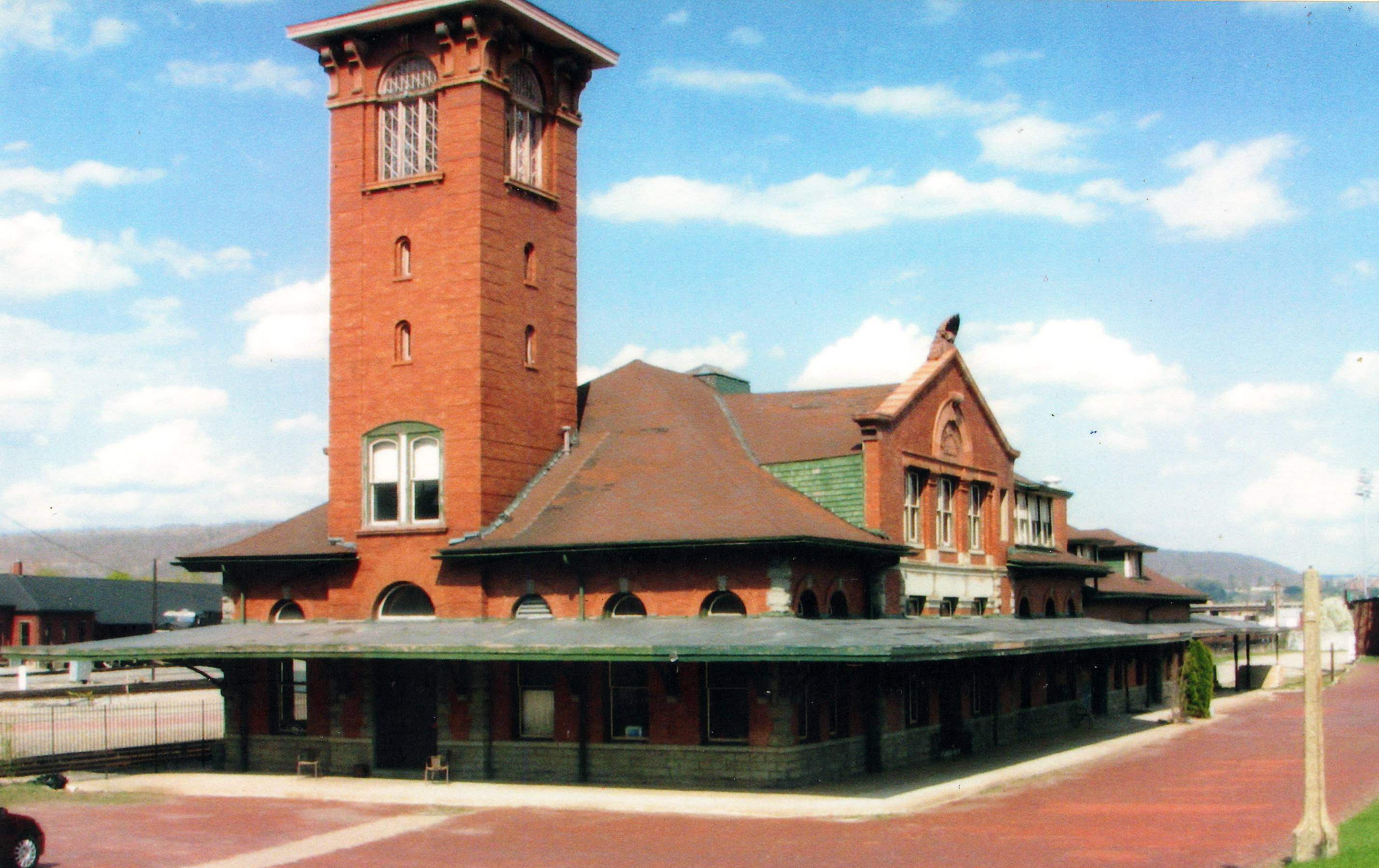
Binghamton () is a city in the U.S. state of New York, and serves as the county seat of Broome County. Surrounded by rolling hills, it lies in the state's Southern Tier region near the Pennsylvania border, in a bowl-shaped valley at the confluence of the Susquehanna and Chenango Rivers. Binghamton is the principal city and cultural center of the Binghamton metropolitan area (also known as Greater Binghamton, or historically the Triple Cities, including Endicott and Johnson City), home to a quarter million people. The city's population, according to the 2020 census, is 47,969. From the days of the railroad, Binghamton was a transportation crossroads and a manufacturing center, and has been known at different times for the production of cigars, shoes, and computers. IBM was founded nearby, and the flight simulator was invented in the city, leading to a notable concentration of electronics- and defense-oriented firms. This sustained economic prosperity earned Binghamton the mon ... [...More Info...] [...Related Items...] OR: [Wikipedia] [Google] [Baidu] |
Chenango River
The Chenango River is a U.S. Geological Survey. National Hydrography Dataset high-resolution flowline dataThe National Map, accessed August 8, 2011 tributary of the Susquehanna River in central New York in the United States. It drains a dissected plateau area in upstate New York at the northern end of the Susquehanna watershed. Named after the Oneida word for bull thistle, in the 19th century the Chenango furnished a critical link in the canal system of the northeastern United States. The Chenango Canal, built from 1836–1837 between Utica and Binghamton, connected the Erie Canal in the north to the Susquehanna River. The canal was rendered obsolete by railroads and was abandoned in 1878. Flooding is often a concern during the spring and fall. Course The Chenango River begins near Morrisville in Madison County, in central New York, in the Morrisville Swamp in the Town of Smithfield, about 25 miles southwest of Utica. The river flows from the Campbell Lakes in the swamp ... [...More Info...] [...Related Items...] OR: [Wikipedia] [Google] [Baidu] |
Cooperstown, NY
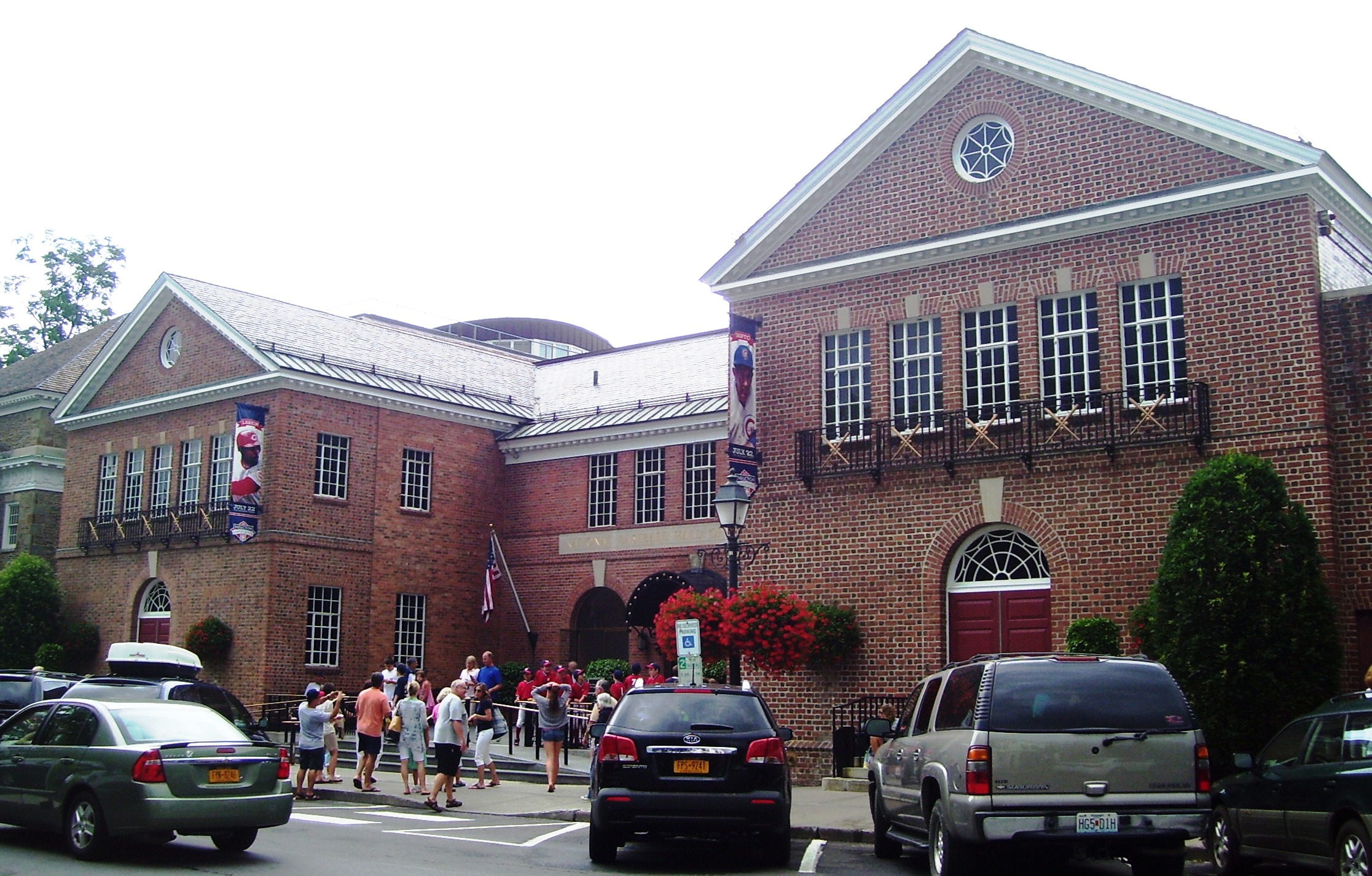
Cooperstown is a village in and county seat of Otsego County, New York, United States. Most of the village lies within the town of Otsego, but some of the eastern part is in the town of Middlefield. Located at the foot of Otsego Lake in the Central New York Region, Cooperstown is approximately southwest of Albany, southeast of Syracuse and northwest of New York City. The population of the village was 1,852 as of the 2010 census. Cooperstown is the home of the National Baseball Hall of Fame and Museum. The Farmers' Museum in the village opened in 1944 on farmland that had once belonged to James Fenimore Cooper. The Fenimore Art Museum and Glimmerglass Opera are also based here. Most of the historic pre-1900s core of the village is included in the Cooperstown Historic District, which was listed on the National Register of Historic Places in 1980; its boundaries were increased in 1997 and more contributing properties were identified. History Native American use Before ... [...More Info...] [...Related Items...] OR: [Wikipedia] [Google] [Baidu] |
Headwaters
The headwaters of a river or stream is the farthest place in that river or stream from its estuary or downstream confluence with another river, as measured along the course of the river. It is also known as a river's source. Definition The United States Geological Survey (USGS) states that a river's "length may be considered to be the distance from the mouth to the most distant headwater source (irrespective of stream name), or from the mouth to the headwaters of the stream commonly known as the source stream". As an example of the second definition above, the USGS at times considers the Missouri River as a tributary of the Mississippi River. But it also follows the first definition above (along with virtually all other geographic authorities and publications) in using the combined Missouri—lower Mississippi length figure in lists of lengths of rivers around the world. Most rivers have numerous tributaries and change names often; it is customary to regard the longest t ... [...More Info...] [...Related Items...] OR: [Wikipedia] [Google] [Baidu] |


