|
List Of Bascule Bridges
A list of bascule bridges by country: Australia * Birkenhead Bridge carries traffic across the Port River at Port Adelaide * Tom 'Diver' Derrick Bridge - Port Adelaide, South Australia, single leaf road bascule * Mary MacKillop Bridge - Port Adelaide, South Australia, single leaf rail bascule * Batemans Bay Bridge, Batemans Bay, New South Wales, over the Clyde River * Spit Bridge - Sydney * Grafton Bridge (New South Wales) - Grafton, New South Wales rail lower deck, road upper deck - lift span out of use * Narooma Bridge - Narooma, still in use in 2005 * Carrathool Bridge - Carrathool, New South Wales, across the Murrumbidgee River - the last surviving example of a particular type of bascule lift span * Broadwater Bridge, across the Richmond River - built using the renovated bascule span from the demolished Barneys Point Bridge on the Tweed River (New South Wales), converted from counterweight to hydraulic ram lift. * Bridge on Franklin Wharf, Constitution Dock, Hobar ... [...More Info...] [...Related Items...] OR: [Wikipedia] [Google] [Baidu] |
Bascule Bridge
A bascule bridge (also referred to as a drawbridge or a lifting bridge) is a moveable bridge with a counterweight that continuously balances a span, or leaf, throughout its upward swing to provide clearance for boat traffic. It may be single- or double-leafed. The name comes from the French term for balance scale, which employs the same principle. Bascule bridges are the most common type of movable span because they open quickly and require relatively little energy to operate, while providing the possibility for unlimited vertical clearance for marine traffic. History Bascule bridges have been in use since ancient times, but until the adoption of steam power in the 1850s, very long, heavy spans could not be moved quickly enough for practical application. Types There are three types of bascule bridge and the counterweights to the span may be located above or below the bridge deck. The fixed-trunnion (sometimes a "Chicago" bascule) rotates around a large axle that raises the ... [...More Info...] [...Related Items...] OR: [Wikipedia] [Google] [Baidu] |
Murrumbidgee River
The Murrumbidgee River () is a major tributary of the Murray River within the Murray–Darling basin and the second longest river in Australia. It flows through the Australian state of New South Wales and the Australian Capital Territory, descending over , generally in a west-northwesterly direction from the foot of Peppercorn Hill in the Fiery Range of the Snowy Mountains towards its confluence with the Murray River near Boundary Bend. The word ''Murrumbidgee'' or ''Marrmabidya'' means "big water" in the Wiradjuri language, one of the local Australian Aboriginal languages. The river itself flows through several traditional Aboriginal Australian lands, home to various Aboriginal peoples. In the Australian Capital Territory, the river is bordered by a narrow strip of land on each side; these are managed as the Murrumbidgee River Corridor (MRC). This land includes many nature reserves, eight recreation reserves, a European heritage conservation zone and rural leases. Flow The ... [...More Info...] [...Related Items...] OR: [Wikipedia] [Google] [Baidu] |
Temse
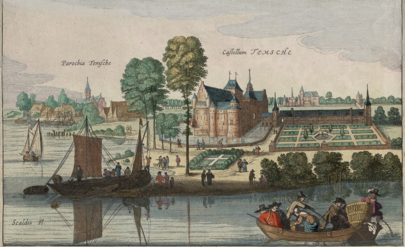
Temse (; french: Tamise ) is a municipality in East Flanders, Belgium. The name Temse is derived from the Gallo-Roman/Gaul Tamisiacum or Tamasiacum. This is also reflected in the French name for the town, Tamise. The main sights include the Church of Our Lady, whose steeple was designed by the famous sculptor Adriaan Nijs, who died in Temse, and who also sculpted the wooden pulpit. Inside the church the relics of Amalberga of Temse are venerated. Close by stands the old "Gemeentehuis" (town hall), built in Flemish Eclectic style, housing a carillon in its main tower. The municipality, which lies on the left side of the River Scheldt, comprises the towns of , , Temse and . On 1 January 2018, Temse had a population of 29,528. The total area is 39.92 km² which gives a population density of 740 inhabitants per km². Toponym Temse is first mentioned under the name ''Temsica''Gysseling, M. (1960)Temse In ''Toponymisch Woordenboek van België, Nederland, Luxemburg, Noord-Fra ... [...More Info...] [...Related Items...] OR: [Wikipedia] [Google] [Baidu] |
Puurs
Puurs () is a former municipality located in the Belgian province of Antwerp. It is located in the Flemish Region. The municipality comprised the towns of Breendonk, Liezele, , Ruisbroek (old spelling: ''Ruysbroeck'') and Puurs proper. There is also the hamlet of Kalfort. In 2021, Puurs had a total population of 17,684. The total area is . Puurs sits about 5 meters above mean sea level. Its geography shows only minor elevation differences. Puurs is mainly rural, with some low intensity industry development in the North alongside the N16 expressway. However, because of its proximity to the cities of Antwerp and Brussels (both within a radius) and its excellent accessibility, Puurs is developing increasingly into a residential town. Effective 1 January 2019, Puurs and Sint-Amands were merged into the new municipality of Puurs-Sint-Amands. History Signs of habitation dating back to the Iron Age, as well as early Roman and Merovingian times, have been found in Puurs. Arguably ... [...More Info...] [...Related Items...] OR: [Wikipedia] [Google] [Baidu] |
Willebroek
Willebroek (, old spelling: ''Willebroeck'') is a municipality located in the Belgian province of Antwerp. The municipality comprises the towns of , Heindonk, , Klein Willebroek, and Willebroek proper. In 2021, Willebroek had a total population of 27,081. The total area is 27.41 km². Willebroek is linked to Brussels by the Willebroek Canal. Willebroek is also home to the ''Kanaalfeesten'', a yearly festival that takes place throughout the town which includes live concerts (mostly of local bands) and general festival attractions, like a mini roller coaster, a duck shoot, etc. At Klein-Willebroek the Harmonium Art museuM on pump organs is established in the former Church of the Immaculate Conception. The city is subject of the song '' De Brug van Willebroek'' by Wannes Van de Velde. See also * Fort Breendonk References External links *Official website- Available only in DutchLocal history & dialect website- Available only in Dutch Dutch commonly refers to: * Something ... [...More Info...] [...Related Items...] OR: [Wikipedia] [Google] [Baidu] |
Beveren
Beveren () is a municipality in the Belgian province of East Flanders which comprises the towns of Beveren, Doel, Haasdonk, Kallo, Kieldrecht, Melsele, Verrebroek and Vrasene. The port of the Waasland (Dutch: ''Waaslandhaven'') is in Beveren, on the left bank of the Schelde, facing the port of Antwerp on the other side of the river. History Roman origins In Roman times, the Beveren area was at the edge of the sea and heavily influenced by the tides. The earliest inhabitants erected primitive dams, which were later reinforced and built higher by the religious communities that sprang up in the region. The invasions of the Normans in the 9th century prompted the Counts of Flanders and their local vassals to defend this land even more. Among the local nobility were the lords of Beveren, whose territory was eventually ceded to Louis I of Flanders in 1334. Beveren thus became the oldest political centre of the Waasland region — the northeastern part of the historical Coun ... [...More Info...] [...Related Items...] OR: [Wikipedia] [Google] [Baidu] |
Port Of Antwerp
The Port of Antwerp-Bruges is the port of the City of Antwerp. It is located in Flanders (Belgium), mainly in the province of Antwerp but also partially in the province of East Flanders. It is a seaport in the heart of Europe accessible to capesize ships. It is Europe’s second-largest seaport, after Rotterdam. Antwerp stands at the upper end of the tidal estuary of the Scheldt. The estuary is navigable by ships of more than 100,000 Gross Tons as far as 80 km inland. Like the Port of Hamburg, the Port of Antwerp's inland location provides a more central location in Europe than the majority of North Sea ports. Antwerp's docks are connected to the hinterland by rail, road, and river and canal waterways. As a result, the port of Antwerp has become one of Europe's largest seaports, ranking second behind Rotterdam by total freight shipped. Its international rankings vary from 11th to 20th ( AAPA). In 2012, the Port of Antwerp handled 14,220 sea trade ships (190.8 million ... [...More Info...] [...Related Items...] OR: [Wikipedia] [Google] [Baidu] |
Berendrecht Lock
The Berendrecht Lock is the world's second largest lock, providing access to the right-bank docks of the Port of Antwerp in Belgium. Background Post World War II, work started on the ''Grote Doorsteek'', an ambitious plan which ultimately resulted in the extension of the Antwerp docks on the right bank of the Scheldt to the Netherlands border. In 1967, the company completed the construction of the Zandvliet Lock (Zandvlietsluis), then the world's largest lock. Construction In 1989, needing to accommodate wider Post-Panamax ship, the company built a new lock just to the south of the Zandvliet lock. The Berendrecht Lock, which at is wider. Bascule bridges at the ends of each lock, (Zandvliet and Frederik-Hendrik bridges across the Zandlievet Lock; and Oudendijk and Berendrecht bridges across the Berendrecht Lock), allow full road traffic access around the port. The two locks now work as a doubled lock system. Completion of the Berendrecht Lock allowed the extended development o ... [...More Info...] [...Related Items...] OR: [Wikipedia] [Google] [Baidu] |
Antwerp
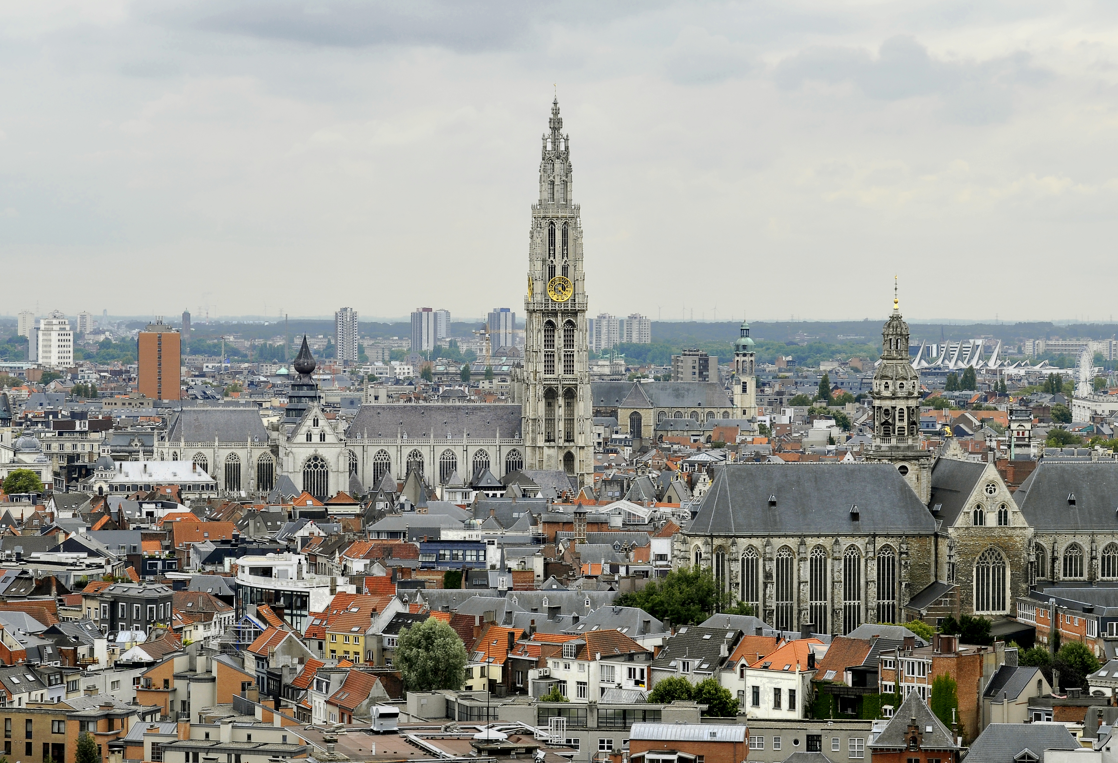
Antwerp (; nl, Antwerpen ; french: Anvers ; es, Amberes) is the largest city in Belgium by area at and the capital of Antwerp Province in the Flemish Region. With a population of 520,504,Statistics Belgium; ''Loop van de bevolking per gemeente'' (Excel file) Population of all municipalities in Belgium, . Retrieved 1 November 2017. it is the most populous municipality in Belgium, and with a metropolitan population of around 1,200,000 people, it is the second-largest metrop ... [...More Info...] [...Related Items...] OR: [Wikipedia] [Google] [Baidu] |
West Gladstone, Queensland
West Gladstone is a suburb of Gladstone in the Gladstone Region, Queensland, Australia. In the , West Gladstone had a population of 4,844 people. Geography The suburb is bounded to the west and north-west in part by the Auckland Inlet, to the north in part by Murray Street and Side Street, to the east in part by Glenlyon Street, and to the south in part by Philip Street. The suburb is at sea level in the west by the Auckland Inlet and rises towards the east of the suburb. Round Hill in the south-east of the suburb () is the highest point, rising to . Dawson Road enters the suburb from the north-east ( Gladstone Central/CBD) and exits to the south-west ( Clinton, New Auckland, Kin Kora) as the Dawson Highway. The North Coast railway line enters the suburb from the west (Callemondah) and exits to the north-east (Gladstone Central/CBD); there are no railway stations within West Gladstone. History Gladstone State High School opened on 2 February 1953. Gladstone West State Scho ... [...More Info...] [...Related Items...] OR: [Wikipedia] [Google] [Baidu] |
Hobart
Hobart ( ; Nuennonne/Palawa kani: ''nipaluna'') is the capital and most populous city of the Australian island state of Tasmania. Home to almost half of all Tasmanians, it is the least-populated Australian state capital city, and second-smallest if territories are taken into account, before Darwin, Northern Territory. Hobart is located in Tasmania's south-east on the estuary of the River Derwent, making it the most southern of Australia's capital cities. Its skyline is dominated by the kunanyi/Mount Wellington, and its harbour forms the second-deepest natural port in the world, with much of the city's waterfront consisting of reclaimed land. The metropolitan area is often referred to as Greater Hobart, to differentiate it from the City of Hobart, one of the five local government areas that cover the city. It has a mild maritime climate. The city lies on country which was known by the local Mouheneener people as nipaluna, a name which includes surrounding features such as ... [...More Info...] [...Related Items...] OR: [Wikipedia] [Google] [Baidu] |


