|
List Of Indonesian Provinces By Human Development Index
Methodology The figures come from the Indonesia Human Development Report, published by Statistics Indonesia and Human Development Index (by UN Method) of Indonesian provinces since 1990 (2021 revision). By Statistics Indonesia in 2022 Source by statistic Indonesia published by Statistics Indonesia Cities and regencies List of cities of Indonesia with very high HDI (2022) According to BPS Indonesia 2020 data, the total population of all cities with very high HDI is 37,570,879 people. List of regencies of Indonesia with very high HDI (2022) According to BPS Indonesia 2020 data, the total population of all regencies with very high HDI is 4,693,525 people. By UNDP reports Trends by Statistics Indonesia Trends by UNDP reports Notes See also * Economy of Indonesia * List of Indonesian provinces by GDP * List of Indonesian provinces by GRP per capita * List of Indonesian cities by GDP References {{Subnational entities by Human Developme ... [...More Info...] [...Related Items...] OR: [Wikipedia] [Google] [Baidu] |
Statistics Indonesia
Statistics Indonesia ( id, Badan Pusat Statistik, BPS, ), is a non-departmental government institute of Indonesia that is responsible for conducting statistical surveys. Its main customer is the government, but statistical data is also available to the public. Annual surveys include national and provincial socio-economics, manufacturing establishments, population and the labour force. Established in 1960 as the Central Bureau of Statistics ( id, Biro Pusat Statistik), the institute is directly responsible to the President of Indonesia. Its functions include providing data to other governmental institutes as well as to the public and conducting statistical surveys to publish periodic statistics on the economy, social change and development. Statistics Indonesia also assists data processing divisions in other public offices to support and to promote standard statistical methods. History In February 1920, the Director of Agriculture and Trade (''Directeur van Landbouw Nijverheid ... [...More Info...] [...Related Items...] OR: [Wikipedia] [Google] [Baidu] |
Surabaya
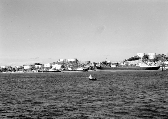
Surabaya ( jv, ꦱꦸꦫꦧꦪ or jv, ꦯꦹꦫꦨꦪ; ; ) is the capital city of the Provinces of Indonesia, Indonesian province of East Java and the List of Indonesian cities by population, second-largest city in Indonesia, after Jakarta. Located on the northeastern border of Java island, on the Madura Strait, it is one of the earliest port cities in Southeast Asia. According to the Government of Indonesia, National Development Planning Agency, Surabaya is one of the Regions of Indonesia#Development regions, four main central cities of Indonesia, alongside Jakarta, Medan, and Makassar. The city has a population of 2.87 million within its city limits at the 2020 census and 9.5 million in the extended Surabaya metropolitan area, making it the List of metropolitan areas in Indonesia, second-largest metropolitan area in Indonesia. The city was settled in the 10th century by the Janggala, Kingdom of Janggala, one of the two Javanese kingdoms that was formed in 1045 when ... [...More Info...] [...Related Items...] OR: [Wikipedia] [Google] [Baidu] |
Ambon, Maluku
Ambon (formerly nl, Amboina) is the capital and largest city of the Indonesian province of Maluku. This city is also known as , which means "beautiful" or "pretty" Ambon. It covers a land area of 298.61 km2, and had a population of 331,254 at the 2010 Census and 347,288 at the 2020 Census. The city is divided into five administrative districts () – namely Nusaniwe, Sirimau, Teluk Ambon (Ambon Bay), Baguala and Leitimur Selatan (South Leitimur). Known as Indonesia's music city, Ambon became the first city in Southeast Asia to be recognised as the UNESCO City of Music in 2019. The city is populated by a mix of ethnic Alifuru (original Moluccans), Javanese, Balinese, Butonese, Bugis, Makassar, Papuan, Minahasa, Minang, Flobamora (Flores, Sumba, Alor and Timor ethnics) and those of foreign descent (Chinese, Arabian-Ambonese, Spanish-Ambonese, German-Ambonese, Portuguese-Ambonese and Dutch-Ambonese). Between 1999 and 2002, there was social unrest motivated by raci ... [...More Info...] [...Related Items...] OR: [Wikipedia] [Google] [Baidu] |
Batam
Batam is the largest city in the province of Riau Islands, Indonesia. The city administrative area covers three main islands of Batam, Rempang, and Galang (collectively called Barelang), as well as several small islands. Batam Island is the core urban and industrial zone, while both Rempang Island and Galang Island maintain their rural character and are connected to Batam Island by short bridges. Batam is an industrial boomtown, an emerging transport hub, and part of a free trade zone in the Indonesia–Malaysia–Singapore Growth Triangle, located off Singapore's south coast and also part of the Indonesia–Malaysia–Thailand Growth Triangle. According to Statistics Indonesia's 2020 census, Batam had a population of 1,196,396, making it the third largest city in the region of Sumatra, after Medan and Palembang. It is the closest part of Indonesia to Singapore, at a minimum land distance of 5.8 km. During the 2010 national census, Batam was the fastest-growing munici ... [...More Info...] [...Related Items...] OR: [Wikipedia] [Google] [Baidu] |
Medan
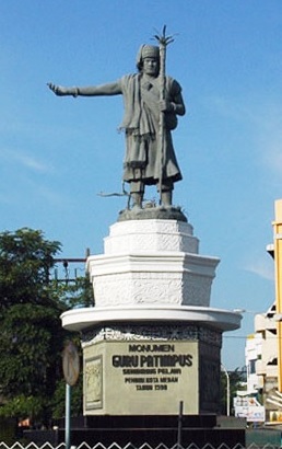
Medan (; English: ) is the capital and largest city of the Indonesian province of North Sumatra, as well as a regional hub and financial centre of Sumatra. According to the National Development Planning Agency, Medan is one of the four main central cities of Indonesia, alongside Jakarta, Surabaya, and Makassar. As of the 2020 Census, Medan has a population of 2,435,252 within its city limits,Badan Pusat Statistik, Jakarta, 2021. and over 3.4 million in its built-up urban area, making it the fourth largest urban area in Indonesia. The Medan metropolitan area—which includes neighbouring Binjai, Deli Serdang Regency, and a part of Karo Regency—is the largest metropolitan area outside of Java, with 4,744,323 residents counted in the 2020 Census. Medan is a multicultural metropolis and a busy trading city bordered by the Strait of Malacca, making it one of the major economic cities in Indonesia. A gateway to the western part of Indonesia, Medan is supported by the Port of ... [...More Info...] [...Related Items...] OR: [Wikipedia] [Google] [Baidu] |
Depok
en, Starfruit City , motto = ''Pariraca Darma''(Servant of the righteousness) , image_map = Map of West Java highlighting Depok City.svg , mapsize = , map_caption = Location within West Java , pushpin_map = Indonesia_Java#Indonesia , pushpin_label_position = right , pushpin_map_caption = Location in Java and Indonesia , coordinates = , subdivision_type = List of sovereign states, Country , subdivision_name = , subdivision_type1 = Provinces of Indonesia, Province , subdivision_type2 = , subdivision_name1 = , subdivision_name2 = , established_title = , established_date = , established_title2 = , established_date2 = , established_title3 = , established_date3 = , government_type ... [...More Info...] [...Related Items...] OR: [Wikipedia] [Google] [Baidu] |
South Tangerang
South Tangerang is a List of regencies and cities of Indonesia, city in the province of Banten, Indonesia. Located on the southwestern border of Jakarta, the city forms part of the Jabodetabek, Greater Jakarta metropolitan area. It was administratively separated from Tangerang Regency on November 26, 2008. According to the 2020 Census, the city population was 1,354,350 inhabitants, while the official estimarte as at mid 2021 was 1,365,688. The total area is . It's the second-largest city in Banten (after Tangerang city immediately to its north) in terms of population, and has grown rapidly, not only as Jakarta's satellite city, but also the development of business districts and commerce due to presence of large-scale planned town by private developers. South Tangerang is home to some planned towns built by private developers, the notable ones are Alam Sutera (in North Serpong), BSD City (in Serpong and Setu), and Bintaro Jaya (in Pondok Aren and Ciputat), complete with facilities ... [...More Info...] [...Related Items...] OR: [Wikipedia] [Google] [Baidu] |
Madiun
Madiun ( jv, ꦑꦸꦛꦩꦝꦶꦪꦸꦤ꧀, translit=Kutha Madhiun) is a landlocked city in the western part of East Java, Indonesia, known for its agricultural center. It was formerly (until 2010) the capital of the Madiun Regency, but is now administratively separated from the regency. Madiun is commonly known as "Kota Gadis", which is acronym for "Trading, Education and Industrial City" in Indonesian. Madiun, located south west of Surabaya, covers an area of , and had a population of 170,964 at the 2010 Census; the latest official estimate (as of mid 2019) is 210,115. This city is an average of above sea level and lies on the Madiun River, a tributary of the Bengawan Solo River. It is surrounded by a number of mountains, including Mount Wilis () to the east, to the south the Kapur Selatan range () and to the west Mount Lawu (). Madiun has an average temperature of . Administrative districts The city is divided into three districts (''kecamatan''), tabulated below with their a ... [...More Info...] [...Related Items...] OR: [Wikipedia] [Google] [Baidu] |
Palu
Palu, which is officially known as the City of Palu (Indonesian: ''Kota Palu''), is the capital and largest city of Central Sulawesi. Palu is located on the northwestern coast of Sulawesi and borders Donggala Regency to the north and west, Parigi Moutong Regency to the east, and Sigi Regency to the south. The city boundaries encompass a land area of . According to the 2020 Indonesian census, Palu has a population of 373,218, making it the third-most populous city on the island after Makassar and Manado; the official estimate as at mid 2021 was 377,030. Palu is the center of finance, government, and education in Central Sulawesi, as well as one of several major cities on the island. The city hosts the province's main port, its biggest airport, and most of its public universities. Palu is located in Palu Bay; it was initially a small agricultural town until it was selected to become the capital of the newly created province of Central Sulawesi in 1953. Palu is sited on the Palu-K ... [...More Info...] [...Related Items...] OR: [Wikipedia] [Google] [Baidu] |
Pekanbaru
Pekanbaru is the capital of Indonesian province of Riau, and a major economic center on the eastern part of Sumatra, Sumatra Island. Its name is derived from the Malay language, Malay words for 'new market' ('pekan' is market and 'baru' is new). It has an area of , with a population of 897,767 at the 2010 Census, and 983,356 at the 2020 Census.Badan Pusat Statistik, Jakarta, 2021. It is located on the banks of the Siak River, which flows into the Strait of Malacca, Pekanbaru has direct access to the busy strait and has long been known as a trading port. A settlement has existed on the site since the 17th century. In the late 19th century, the city was developed to serve the coffee and coal industries, and the Netherlands, Dutch built roads to help ship goods to Singapore and Malacca. This city has an airport called Sultan Syarif Kasim II International Airport, and a port called Sungai Duku that is located by the Siak River. History Sultanate of Siak The origin of Pekanbaru was ... [...More Info...] [...Related Items...] OR: [Wikipedia] [Google] [Baidu] |
Central Jakarta
Central Jakarta ( id, Jakarta Pusat) is one of the five administrative cities () which form the Special Capital Region of Jakarta. It had 902,973 inhabitants according to the 2010 censusBiro Pusat Statistik, Jakarta, 2011. and 1,056,896 at the 2020 census. Central Jakarta is not self-governed and does not have a city council, hence it is not classified as a proper municipality. Central Jakarta is the smallest in area and population of the five cities of Jakarta. It is both the administrative and political center of Jakarta and Indonesia. Central Jakarta contains a number of large international hotels and major landmarks such as Hotel Indonesia. Districts Central Jakarta is bounded by North Jakarta to the north, East Jakarta to the east, South Jakarta to the south, and West Jakarta to the west. It is subdivided into eight districts (), listed below with their areas and their populations at the 2010 census. Demographics Central Jakarta has an average of 20,177 residents per s ... [...More Info...] [...Related Items...] OR: [Wikipedia] [Google] [Baidu] |
Bekasi
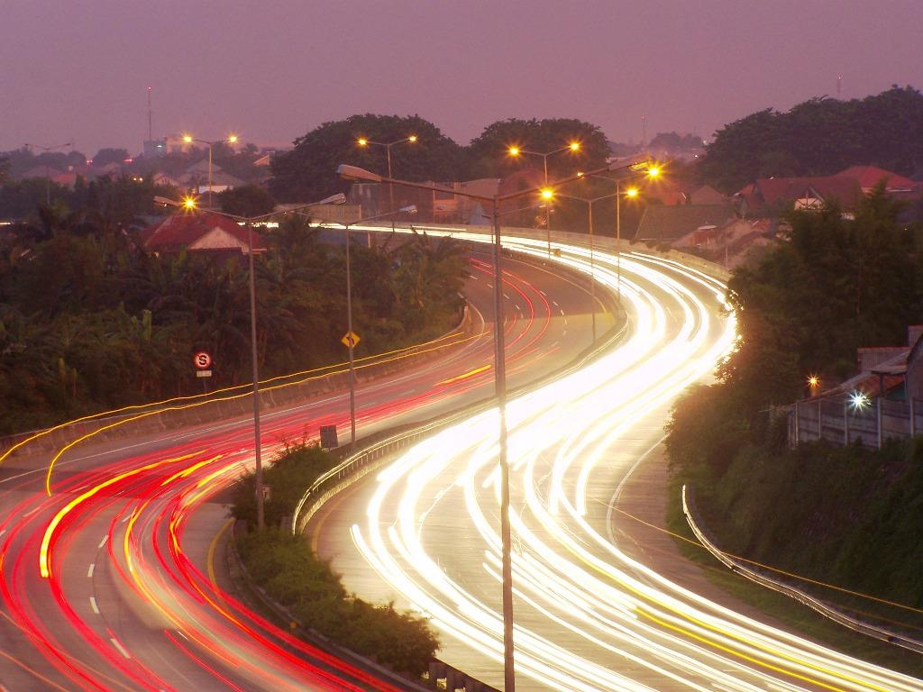
Bekasi (, su, ) is a city in West Java, Indonesia, located on the eastern border of Jakarta.the city of planet Bekasi is his nickname.It serves as a commuter city within the Jakarta metropolitan area. According to the 2020 Census by Statistics Indonesia (BPS), Bekasi had 2,543,676 inhabitants. The official estimate for mid 2021 was 2,564,940. It lies within the largest metropolitan area in Indonesia (''Jabodetabek''). The city is bordered by Bekasi Regency to the north and the east, Bogor Regency and Depok to the south, and East Jakarta to the west. Bekasi is one of the oldest cities in Indonesia, and has a history of being the capital city of the Kingdom of Tarumanagara. At that time, the name of Bekasi was Dayeuh Sundasembawa or Jayagiri. The earliest evidence of its existence dates from the fifth century according to the Tugu inscription, which describes the name of two rivers that run through the city, i.e. Candrabhaga and Gomati and one of those rivers, i.e. Candrabhaga i ... [...More Info...] [...Related Items...] OR: [Wikipedia] [Google] [Baidu] |
_en.png)


