|
List Of Towns In England
This is a list of towns in England. Historically, towns were any settlement with a charter, including market towns and ancient boroughs. The process of incorporation was reformed in 1835 and many more places received borough charters, whilst others were lost. All existing boroughs were abolished on 1 April 1974 and Borough status in the United Kingdom, borough status was reformed as a civic honour for local government districts. At the same time a limited number of former boroughs and other settlements became successor parishes, with the right to be known as a town and preserve their charter. Boroughs that did not become successor parishes formed unparished areas, but were able to preserve their charters without a corporate body by appointing charter trustees. Since 1 April 1974 any parish council in England has the right to resolve to call itself a town council and many communities have taken up this right, including areas that preserved continuity with charter trustees. However, ... [...More Info...] [...Related Items...] OR: [Wikipedia] [Google] [Baidu] |
England
England is a country that is part of the United Kingdom. It shares land borders with Wales to its west and Scotland to its north. The Irish Sea lies northwest and the Celtic Sea to the southwest. It is separated from continental Europe by the North Sea to the east and the English Channel to the south. The country covers five-eighths of the island of Great Britain, which lies in the North Atlantic, and includes over 100 smaller islands, such as the Isles of Scilly and the Isle of Wight. The area now called England was first inhabited by modern humans during the Upper Paleolithic period, but takes its name from the Angles, a Germanic tribe deriving its name from the Anglia peninsula, who settled during the 5th and 6th centuries. England became a unified state in the 10th century and has had a significant cultural and legal impact on the wider world since the Age of Discovery, which began during the 15th century. The English language, the Anglican Church, and Engli ... [...More Info...] [...Related Items...] OR: [Wikipedia] [Google] [Baidu] |
Alford, Lincolnshire
Alford (pronounced ) is a town in the East Lindsey district of Lincolnshire, England, at the foot of the Lincolnshire Wolds, which form an Area of Outstanding Natural Beauty. The population was recorded as 3,459 in the 2011 Census and estimated at 3,789 in 2019. It lies between the towns of Mablethorpe, Louth, Spilsby, and Skegness and acts as a local retail centre. History In 1810 a purpose built theatre was being used by Joseph Smedley at a cost of seven Guineas. Governance An electoral ward of the same name exists. This stretches east to the coast, with a population of 4,531 recorded in the 2011 census. Amenities Alford's retail outlets cater mainly for local demand. Shops include a pharmacy, a grocery, two butchers (the later one opened in November 2016) and DIY and hardware stores. There are three supermarkets, in Church Street, West Street and Hamilton Road. The five public houses are the ''Half Moon Hotel'', ''Windmill Hotel'', ''George'', ''Anchor'' and ''White Hart ... [...More Info...] [...Related Items...] OR: [Wikipedia] [Google] [Baidu] |
Appleby-in-Westmorland
Appleby-in-Westmorland is a market town and civil parish in the Eden District of Cumbria, England, with a population of 3,048 at the 2011 Census. Crossed by the River Eden, Appleby was the county town of the historic county of Westmorland. It was known just as Appleby until 1974–1976, when the council of the successor parish to the borough changed it to retain the name Westmorland, which was abolished as an administrative area under the Local Government Act 1972. It lies south-east of Penrith, south-east of Carlisle, north-east of Kendal and west of Darlington. History The town's name derives from the Old English ''æppel-by'', meaning "farm or settlement with apple trees". St Lawrence's Parish Church is recorded in the National Heritage List for England as a designated Grade I listed building. Appleby Castle was founded by Ranulf le Meschin in the early 12th century. The Borough followed by royal charter in 1179 and its Moot Hall was built about 1596. Surviving t ... [...More Info...] [...Related Items...] OR: [Wikipedia] [Google] [Baidu] |
Andover, Hampshire
Andover ( ) is a town in the English county of Hampshire. The town is on the River Anton, a major tributary of the Test, and is situated alongside the major A303 trunk road at the eastern end of Salisbury Plain, west of the town of Basingstoke, both major rail stops. It is NNW of the city of Winchester, north of the city of Southampton and WSW of London. Andover is twinned with the towns of Redon in France, Goch in Germany, and Andover, Massachusetts in the United States. History Early history Andover's name is recorded in Old English in 955 as ''Andeferas'', and is thought to be of Celtic origin: compare Welsh ''onn dwfr'' = "ash (tree) water". The first mention in history is in 950 when King Edred is recorded as having built a royal hunting lodge there. In 962 King Edgar called a meeting of the Saxon 'parliament' (the Witenagemot) at his hunting lodge near Andover. Of more importance was the baptism, in 994, of a Viking king named Olaf (allied with the Danish king ... [...More Info...] [...Related Items...] OR: [Wikipedia] [Google] [Baidu] |
Ampthill
Ampthill () is a town and civil parish in Bedfordshire, England, between Bedford and Luton, with a population estimate of 8,100 (Mid year estimate 2017 from the ONS). It is administered bAmpthill Town Council The ward of Ampthill which also includes Maulden and Clophill has an estimated population of 13,280 and is administered by Central Bedfordshire Council. History The name 'Ampthill' is of Anglo-Saxon origin. The first settlement was called 'Aemethyll', which literally means either 'ant-heap' or 'ant infested hill'. In the Domesday Book, Ampthill is referred to as 'Ammetelle', with the landholder in 1086 being Nigel de la Vast. The actual entry reads: ''Ammetelle: Nigel de la Vast from Nigel d'Aubigny.'' A further variation may be 'Hampthull', in 1381. In 1219 King Henry III granted a charter for a weekly market to be held on a Thursday. In 2019 the market celebrated 800 years. Henry VIII was a frequent visitor to Ampthill Castle, and it was there that Catherine of Ara ... [...More Info...] [...Related Items...] OR: [Wikipedia] [Google] [Baidu] |
Amesbury
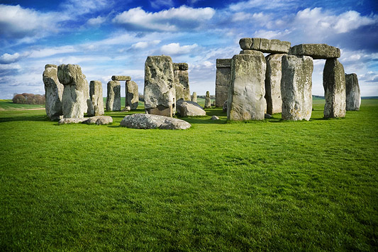
Amesbury () is a town and civil parish in Wiltshire, England. It is known for the prehistoric monument of Stonehenge which is within the parish. The town is claimed to be the oldest occupied settlement in Great Britain, having been first settled around 8820 BC. The parish includes the hamlets of Ratfyn and West Amesbury, and part of Boscombe Down military airfield. Etymology The derivation of the name of the town is uncertain. It may derive from an Anglo-Saxon named ''Ambre'', or from the Old English ''amore-burh'' meaning 'fortification frequented by buntings or/and Yellowhammers'. It has also been suggested that the name is derived from Ambrosius Aurelianus, leader of Romano-British resistance to Saxon invasions in the 5th century. Geography Amesbury is located in southern Wiltshire, north-northeast of Salisbury on the A345. It sits in the River Avon valley on the southern fringes of Salisbury Plain and has historically been considered an important river crossing area on ... [...More Info...] [...Related Items...] OR: [Wikipedia] [Google] [Baidu] |
Amersham
Amersham ( ) is a market town and civil parish within the unitary authority of Buckinghamshire, England, in the Chiltern Hills, northwest of central London, from Aylesbury and from High Wycombe. Amersham is part of the London commuter belt. There are two distinct areas: * Old Amersham, set in the valley of the River Misbourne, containing the 13th-century parish church of St Mary's Church, Old Amersham, St. Mary's and several old pubs and coaching inns * Amersham-on-the-Hill, which grew in the early 20th century around , which was served by the Metropolitan Railway, now the Metropolitan line, and the Great Central Railway. Geography Old Amersham occupies the valley floor of the River Misbourne. This is a chalk stream which dries up periodically. The river occupies a valley much larger than it is possible for a river the size of the present River Misbourne to cut, which makes it a misfit stream. The valley floor is at around Ordnance Datum, OD, and the valley top is at aro ... [...More Info...] [...Related Items...] OR: [Wikipedia] [Google] [Baidu] |
Ambleside
Ambleside is a town and former civil parish, now in the parish of Lakes, Cumbria, Lakes, in Cumbria, in North West England. Historic counties of England, Historically in Westmorland, it marks the head (and sits on the east side of the northern headwater) of Windermere, England's largest natural lake. In the Lake District National Park, it is south of the highest road pass in the Lake District, Kirkstone Pass and both places are the meeting point of well-marked paths and mountain hiking trails. In 2020 it had an estimated population of 2596. In 1961 the parish had a population of 2562. Economy Local government services Ambleside is co-administered by South Lakeland District Council and in minor matters forms part of the Lakes, Cumbria, Lakes Civil parishes in England, civil parish. The other main co-administration is Cumbria County Council. Ambleside was formerly a Township (England), township, in 1866 Ambleside became a civil parish in its own right until it was abolished on 1 ... [...More Info...] [...Related Items...] OR: [Wikipedia] [Google] [Baidu] |
Amble
Amble is a town on the North Sea coast of Northumberland, England, at the mouth of the River Coquet; Coquet Island is visible from its beaches and harbour. In 2011, it had a population of 6,025. Etymology There are two suggested origins of the place-name Amble. One theory suggests a Goidelic origin from ''Am Béal'', meaning "tidal inlet", and is attributed to the historical presence of Irish missionaries in the area who spoke that language despite most of the local population not doing so. An earlier theory, originating with Eilert Ekwall, is an Old English origin of ''Amma/Anna bile'', meaning "Amma's/Anna's headland". There are sources indicating that the name and variants thereof – such as ''Ambell'' and ''Ambhill'' – may have been in use as long ago as 1203 AD. Northumberland was not recorded in the Domesday Book. History Various urns, cists, flint spearheads and other evidence of ancient burials were found near to Amble in the 1880s and 1890s. Some of those rema ... [...More Info...] [...Related Items...] OR: [Wikipedia] [Google] [Baidu] |
Altrincham
Altrincham ( , locally ) is a market town in Trafford, Greater Manchester, England, south of the River Mersey. It is southwest of Manchester city centre, southwest of Sale and east of Warrington. At the 2011 Census, it had a population of 52,419. Within the boundaries of the historic county of Cheshire, Altrincham was established as a market town in 1290, a time when the economy of most communities was based on agriculture rather than trade, and there is still a market in the town. Further socioeconomic development came with the extension of the Bridgewater Canal to Altrincham in 1765 and the arrival of the railway in 1849, stimulating industrial activity in the town. Outlying villages were absorbed by Altrincham's subsequent growth, along with the grounds of Dunham Massey Hall, formerly the home of the Earl of Stamford, and now a tourist attraction with three Grade I Listed Buildings and a deer park. Altrincham has good transport links to Manchester, Sale, Stretford, W ... [...More Info...] [...Related Items...] OR: [Wikipedia] [Google] [Baidu] |
Alton, Hampshire
Alton ( ) is a market town and civil parish in the East Hampshire district of Hampshire, England, near the source of the River Wey. It had a population of 17,816 at the 2011 census. Alton was recorded in the Domesday Survey of 1086 as ''Aoltone''. During the Saxon period Alton was known as ''Aweltun''. The Battle of Alton occurred in the town during the English Civil War. It also has connections with Sweet Fanny Adams and Jane Austen. History Early history The Alton Hoard of Iron Age coins and jewellery found in the vicinity of the town in 1996 is now in the British Museum. There is evidence of a Roman posting station at Neatham near Alton, probably called Vindomis, and a ford across the River Wey on the line of a Roman road that ran from Chichester to Silchester. An Anglo-Saxon settlement was established in the area and a 7th-century cemetery was discovered during building excavations. It contained grave goods including the ''Alton Buckle'' which is on display in the Curtis ... [...More Info...] [...Related Items...] OR: [Wikipedia] [Google] [Baidu] |
Alston, Cumbria
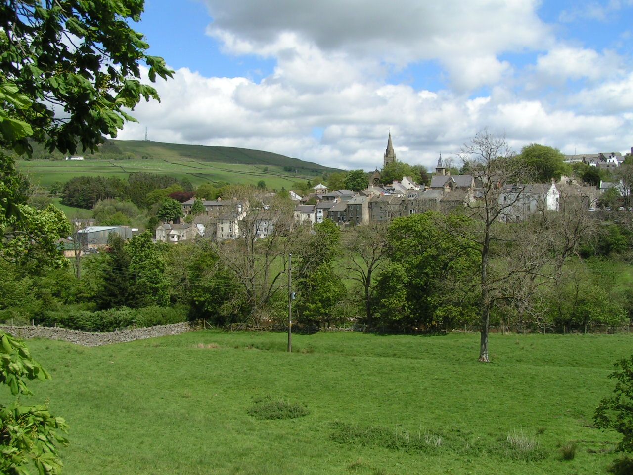
Alston is a town in Cumbria, England, within the civil parish of Alston Moor on the River South Tyne. It shares the title of the 'highest market town in England', at about above sea level, with Buxton, Derbyshire. Despite its altitude, the town is easily accessible via the many roads which link the town to Weardale, Teesdale, and towns in Cumbria such as Penrith via Hartside Pass, as well as Tynedale. Historically part of Cumberland, Alston lies within the North Pennines, a designated Area of Outstanding Natural Beauty. Much of the town centre is a designated Conservation Area which includes several listed buildings. Geography Alston lies within the North Pennines Area of Outstanding Natural Beauty, more than by road from the nearest town, Haltwhistle, and is surrounded by moorland. Nearby villages include Garrigill and Nenthead. It is around west of Newcastle upon Tyne, south east of Carlisle, north east of Penrith, and south west of Hexham. Situated at the crossroads/j ... [...More Info...] [...Related Items...] OR: [Wikipedia] [Google] [Baidu] |


.jpg)


