|
List Of Castles In Bosnia And Herzegovina
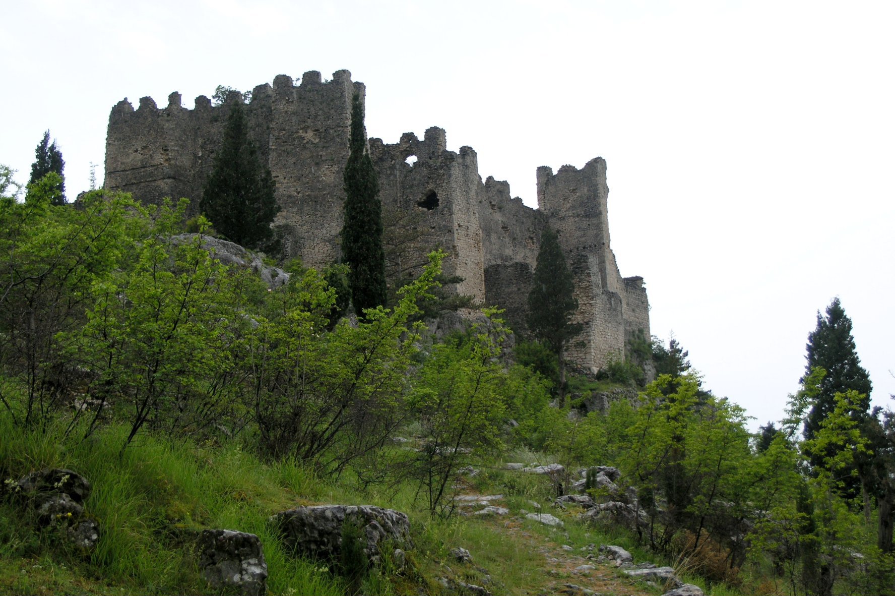
This is a list of fortifications in Bosnia and Herzegovina, including fortresses and castles, arranged alphabetically. List The list is based on body of work in Bosnia and Herzegovina historiography. }) is an old fort overlooking the historic core of Sarajevo. It is a national monument of Bosnia and Herzegovina. , , - , Blagaj , Mostar , , , , , - , Bobovac , Vareš/Kraljeva Sutjeska , , , , , - , Bočac Fortress , Bočac , , , , , - , Borač Castle , Brčigovo , Fortified town with noble court , 1244 (13th century) , Borač was noble court of Radinović-Pavlović and one of the largest and most important fortified towns of medieval Bosnia , , - , Bosanska Krupa Fortress , Bosanska Krupa , , , , , - , Bužim Castle , Bužim , , , , , - , Branković Tower , Trebinje , , , , , - , Captain's Citadel , Bihać , , , , , - , Citadel Počitelj , Počitelj , , 1383 , , , - , Medieval Town of Dubrovnik (Bosnia and H ... [...More Info...] [...Related Items...] OR: [Wikipedia] [Google] [Baidu] |
Fortification
A fortification is a military construction or building designed for the defense of territories in warfare, and is also used to establish rule in a region during peacetime. The term is derived from Latin ''fortis'' ("strong") and ''facere'' ("to make"). From very early history to modern times, defensive walls have often been necessary for cities to survive in an ever-changing world of invasion and conquest. Some settlements in the Indus Valley civilization were the first small cities to be fortified. In ancient Greece, large stone walls had been built in Mycenaean Greece, such as the ancient site of Mycenae (famous for the huge stone blocks of its 'cyclopean' walls). A Greek '' phrourion'' was a fortified collection of buildings used as a military garrison, and is the equivalent of the Roman castellum or English fortress. These constructions mainly served the purpose of a watch tower, to guard certain roads, passes, and borders. Though smaller than a real fortress, they act ... [...More Info...] [...Related Items...] OR: [Wikipedia] [Google] [Baidu] |
Medieval Town Of Dubrovnik (Bosnia And Herzegovina)
Medieval Town of Dubrovnik, also Old Dubrovnik Fort in Višnjica, is medieval fortress in the area of Višnjica, Ilijaš municipality, Bosnia and Herzegovina. The city was seat of the Bosnian Knez Batić of Mirković's. In 2014 it was declared as National monument of Bosnia and Herzegovina. History In the 13th century, the area between Sarajevo and Visočki polje belonged to the old Bosnian Vidogošći-Vogošći parish, in which Dubrovnik, together with its '' podgrađe'', is the main political center of this parish. Although there are no precise data on the origin of the city, it is assumed that it was built in the 13th century because it was first mentioned in the Dubrovnik archives (Dubrovnik Chancellery - Diversa Cancellariae), on July 11, 1404, which talks about the transport of goods to Deževica, Podvisko and to a place called "Doboruonich". The city belonged to and was also seat of Mirković's, a noble family whose most prominent member in the times of King Tvrtko ... [...More Info...] [...Related Items...] OR: [Wikipedia] [Google] [Baidu] |
Bosnia And Herzegovina-02166 - Počitelj (10476710854)
Bosnia and Herzegovina ( sh, / , ), abbreviated BiH () or B&H, sometimes called Bosnia–Herzegovina and often known informally as Bosnia, is a country at the crossroads of south and southeast Europe, located in the Balkans. Bosnia and Herzegovina borders Serbia to the east, Montenegro to the southeast, and Croatia to the north and southwest. In the south it has a narrow coast on the Adriatic Sea within the Mediterranean, which is about long and surrounds the town of Neum. Bosnia, which is the inland region of the country, has a moderate continental climate with hot summers and cold, snowy winters. In the central and eastern regions of the country, the geography is mountainous, in the northwest it is moderately hilly, and in the northeast it is predominantly flat. Herzegovina, which is the smaller, southern region of the country, has a Mediterranean climate and is mostly mountainous. Sarajevo is the capital and the largest city of the country followed by Banja Luka, Tuzla ... [...More Info...] [...Related Items...] OR: [Wikipedia] [Google] [Baidu] |
Citadel Počitelj
A citadel is the core fortified area of a town or city. It may be a castle, fortress, or fortified center. The term is a diminutive of "city", meaning "little city", because it is a smaller part of the city of which it is the defensive core. In a fortification with bastions, the citadel is the strongest part of the system, sometimes well inside the outer walls and bastions, but often forming part of the outer wall for the sake of economy. It is positioned to be the last line of defence, should the enemy breach the other components of the fortification system. The functions of the police and the army, as well as the army barracks were developed in the citadel. History 3300–1300 BC Some of the oldest known structures which have served as citadels were built by the Indus Valley civilisation, where citadels represented a centralised authority. Citadels in Indus Valley were almost 12 meters tall. The purpose of these structures, however, remains debated. Though the structures found ... [...More Info...] [...Related Items...] OR: [Wikipedia] [Google] [Baidu] |
Bihać
Bihać ( cyrl, Бихаћ) is a city and the administrative centre of Una-Sana Canton of the Federation of Bosnia and Herzegovina, an entity of Bosnia and Herzegovina. It is situated on the banks of river Una in northwestern Bosnia and Herzegovina, in the Bosanska Krajina region. In 2013 its population was 56,261. Settlements * Bajrići *Brekovica * Bugar *Ćukovi * Doljani *Donja Gata * Dubovsko *Gorjevac * Grabež * Grmuša * Hrgar * Izačić * Jezero *Kalati *Kulen Vakuf *Lohovo * Lohovska Brda *Mala Peća * Mali Skočaj * Međudražje * Muslići * Ostrovica * Papari * Praščijak * Pritoka * Račić * Rajinovci *Ripač * Spahići * Srbljani * Velika Gata * Veliki Skočaj *Veliki Stjenjani * Vikići *Vrsta *Zavalje i Zlopoljac History According to documents and historical sources, the first medieval urban settlements and towns around the Una river, began to appear in the middle of the 13th century. Bihać, as the centre of , was first mentioned on 26 February 1260, in the ch ... [...More Info...] [...Related Items...] OR: [Wikipedia] [Google] [Baidu] |
Trebinje
Trebinje ( sr-Cyrl, Требиње, ) is a city and municipality located in the Republika Srpska entity of Bosnia and Herzegovina. It is the southernmost city in Bosnia and Herzegovina and is situated on the banks of Trebišnjica river in the region of East Herzegovina. As of 2013, it has a population of 31,433 inhabitants. The city's old town quarter dates to the 18th-century Ottoman period, and includes the Arslanagić Bridge, also known as Perovića Bridge. Geography Physical geography The city lies in the Trebišnjica river valley, at the foot of Leotar, in southeastern Herzegovina, some by road from Dubrovnik, Croatia, on the Adriatic coast. There are several mills along the river, as well as several bridges, including three in the city of Trebinje itself, as well as a historic Ottoman Arslanagić Bridge nearby. The river is heavily exploited for hydro-electric energy. After it passes through the Popovo Polje area southwest of the city, the river – which always floo ... [...More Info...] [...Related Items...] OR: [Wikipedia] [Google] [Baidu] |
Bužim
Bužim ( sr-cyrl, Бужим) is a town and municipality located in Una-Sana Canton of the Federation of Bosnia and Herzegovina, an entity of Bosnia and Herzegovina. It is situated in the most northwestern Bosnia and Herzegovina. Geography Bužim borders Bosanska Krupa to the east, Cazin to the south, Velika Kladuša to the west and north, and finally with the Republic of Croatia to the northeast. Geographically most of the municipality is mountainous. The total land area of Bužim is about with a population of 20,000. Bužim is about 180–400 meters above sea-level. Bužim is situated in the North-West of Bosnia, actually in North-West part of Unsko-Sanski canton and it is one of eight municipalities in that canton. It borders on the municipalities of Bosanska Krupa (from East), Cazin (from the Soath), Velika Kladuša (from the West and North) and on the municipality Dvor on the river Una (Republic Croatia from the North-West). Territory of Bužim is mountainous. Cava and Dob ... [...More Info...] [...Related Items...] OR: [Wikipedia] [Google] [Baidu] |


.jpg)

