|
Liphook
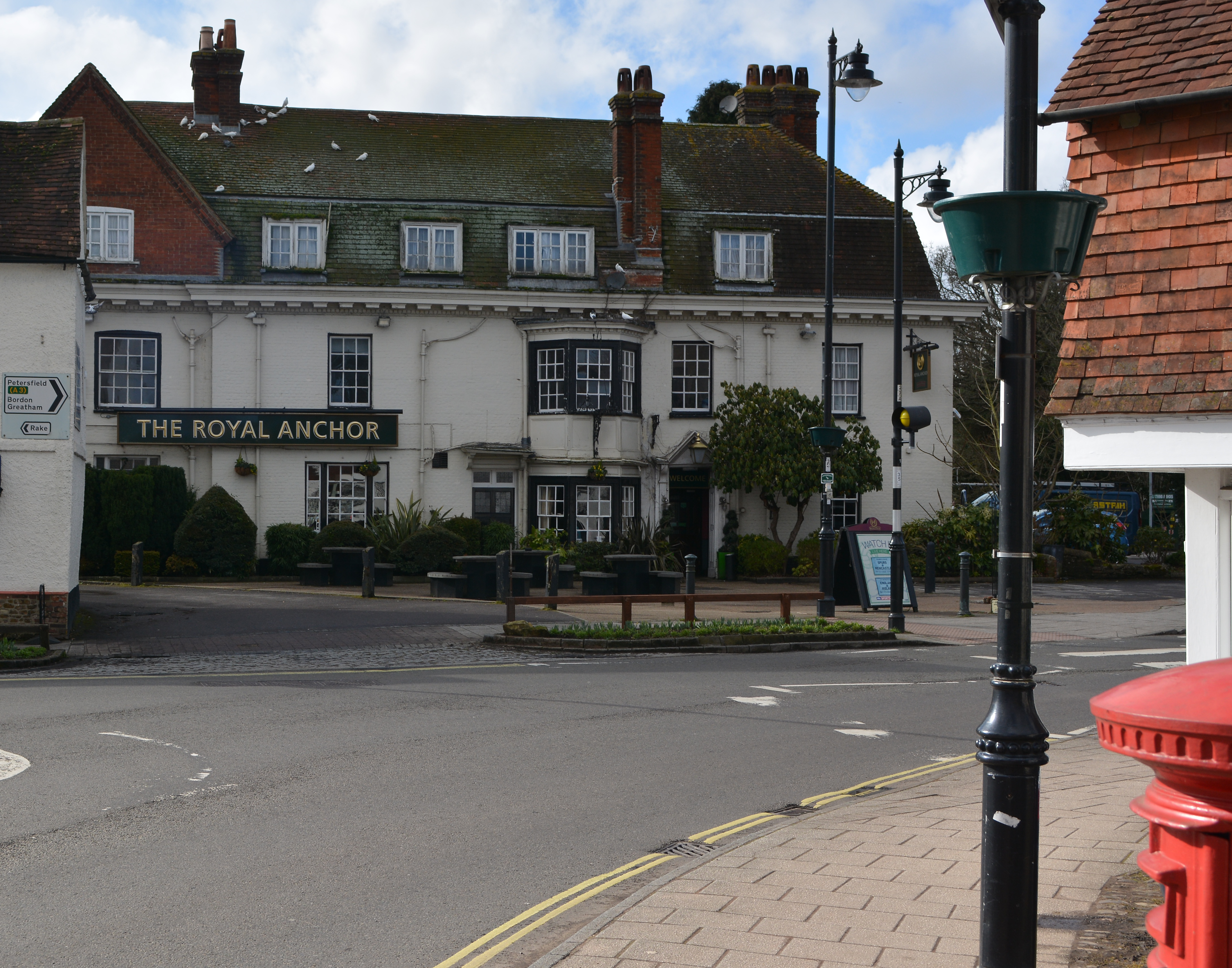
Liphook is a large village in the East Hampshire district of Hampshire, England. It is 4.1 miles (6.6 km) west of Haslemere, bypassed by the A3 road, and lies on the Hampshire/West Sussex/Surrey borders. It is in the civil parish of Bramshott and Liphook, which also includes Bramshott and Hammer Bottom. Liphook has a railway station, on the Portsmouth Direct Line. The village grew as a coaching stop between London and Portsmouth during the 17th and 18th centuries. It served as a base during the First World War and the Second World War for Canadian troops stationed in Southern England. History Pre-coaching times The first record of Liphook is in the Bramshott Manor Court Rolls to one 'Robert of Lupe' in 1281. Then follows Matilda of 'Lhupe' in 1337, William at 'Lupe' in 1365, John at 'Lepe' in 1386, and John Maunser at 'Leope' in 1423. On his death in 1428, John Maunser's tenancy at 'Lepe' between modern London Road and Headley Road is the first identifiable landmark i ... [...More Info...] [...Related Items...] OR: [Wikipedia] [Google] [Baidu] |
Bramshott
Bramshott is a village with mediaeval origins in the East Hampshire district of Hampshire, England. It lies 0.9 miles (1.4 km) north of Liphook. The nearest railway station, Liphook railway station, Liphook, is south of the village. History The first evidence for the hamlet of Bramshott is the record of Matthew as its first Rector in 1225 and the early 13th century church. The parish evolved from the medieval manors of Brembreste (Bramshott today), Lidessete (Ludshott Common and Waggoners Wells, Ludshott), Ciltelelei (Chiltlee), the Woolmer Forest, royal forest of Woolmer and fragments of two other manors. Bramshott Manor is described in the Domesday Book as held by Edward of Salisbury from the king with two freemen, thirteen tenants (of restricted freedom) and two mills. Ludshott Manor, lying to the north of Bramshott Manor, is recorded with ten households and a mill. Chiltlee Manor lay to the south of Bramshott Manor and was recorded as being held by the king, William the ... [...More Info...] [...Related Items...] OR: [Wikipedia] [Google] [Baidu] |
Liphook Railway Station
Liphook railway station serves the large village of Liphook, in Hampshire, England. It is on the Portsmouth Direct Line, down the line from via Woking. The station is managed by South Western Railway, who operate all trains serving it. History In 2020, South Western Railway was issued with an improvement notice by the Office of Rail and Road as it did not supply a ramp for wheelchair users despite it being mandated by law. In August 2020, planning permission was given to replace the station footbridge. In January 2021, work began to replace the footbridge with a new covered bridge with lifts. The new bridge was opened in September 2021 with the lifts opened shortly after. Services All services at Liphook are operated by South Western Railway using and EMUs Emus may refer to: * Emu The emu () (''Dromaius novaehollandiae'') is the second-tallest living bird after its ratite relative the ostrich. It is endemic to Australia where it is the largest native bird a ... [...More Info...] [...Related Items...] OR: [Wikipedia] [Google] [Baidu] |
East Hampshire (UK Parliament Constituency)
East Hampshire is a constituency represented in the House of Commons of the UK Parliament since 2010 by Damian Hinds of the Conservative Party. History The seat was created in 1983 chiefly to replace the Petersfield constituency. The first MP was (by election) Michael Mates, who held it from 1983 until the calling of the 2010 election when he retired. Boundaries and profile 1983–1997: The District of East Hampshire wards of Binsted, Bramshott and Liphook, Clanfield and Buriton, East Meon and Langrish, Froyle and Bentley, Froxfield and Steep, Grayshott, Headley, Horndean Catherington, Horndean Hazleton, Horndean Kings, Horndean Murray, Liss, Petersfield Heath, Petersfield St Mary's, Petersfield St Peter's, Rowlands Castle, Selborne, The Hangers, Whitehill Bordon and Whitehill, and Whitehill Lindford, and the District of Hart wards of Church Crookham, Crondall, Fleet Courtmoor, Fleet Pondtail, Fleet West, Hook, Long Sutton, and Odiham. 1997–2010: The District of East Hampsh ... [...More Info...] [...Related Items...] OR: [Wikipedia] [Google] [Baidu] |
East Hampshire
East Hampshire is a local government district in Hampshire, England. Its council is based in Petersfield. Other towns are Alton and Bordon. The district was originally to be known as the District Council of Petersfield. It comprised 42 seats and first met on 18 June 1973. For ten months it operated alongside the councils that it was formed to replace: the Alton and Petersfield urban districts along with Alton Rural District and Petersfield Rural District. On 8 October 1973, the new council changed its name to the current East Hampshire District Council (or EHDC as it is usually known). On 1 April 1974, the old councils were dissolved, leaving only EHDC. Sandy Hopkins was the first joint Chief Executive in Hampshire when she was appointed to head both EHDC and Havant Borough Council in October 2009. Councillors approved the business case put forward by the Chief Executive for a shared management team between the two authorities in June 2010. The new team took up its positi ... [...More Info...] [...Related Items...] OR: [Wikipedia] [Google] [Baidu] |
Petersfield, Hampshire
Petersfield is a market town and civil parish in the East Hampshire district of Hampshire, England. It is north of Portsmouth. The town has its own railway station on the Portsmouth Direct line, the mainline rail link connecting Portsmouth and London. Situated below the northern slopes of the South Downs, Petersfield lies wholly within the South Downs National Park. The town is on the crossroads of well-used north–south (formerly the A3 road which now bypasses the town) and east–west routes (today the A272 road) and it grew as a coach stop on the Portsmouth to London route. Petersfield is twinned with Barentin in France, and Warendorf in Germany. History Petersfield Heath's burial mounds may be up to 4,000 years old; their distribution is mainly to the east and south east of the Heath. These are considered to be one of the more important lowland barrow groups in this country. The barrows indicate that the area of the Heath was occupied by people who may have come to reg ... [...More Info...] [...Related Items...] OR: [Wikipedia] [Google] [Baidu] |
River Wey
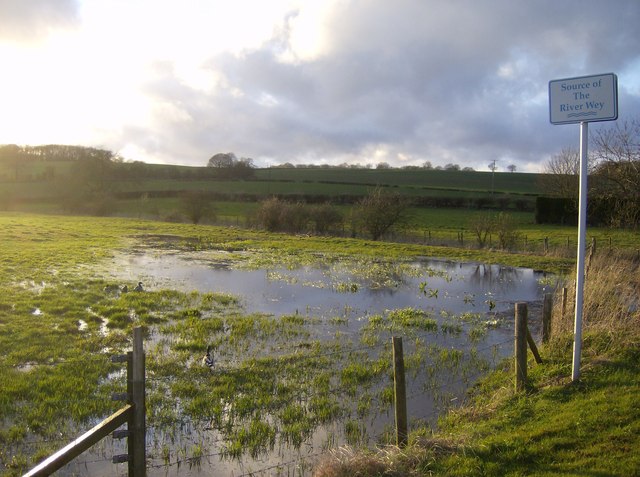
The River Wey is a main tributary of the River Thames in south east England. Its two branches, one of which rises near Alton in Hampshire and the other in West Sussex to the south of Haslemere, join at Tilford in Surrey. Once combined the flow is eastwards then northwards via Godalming and Guildford to meet the Thames at Weybridge. Downstream the river forms the backdrop to Newark Priory and Brooklands. The Wey and Godalming Navigations were built in the 17th and 18th centuries, to create a navigable route from Godalming to the Thames. The Wey drains much of south west Surrey (as well as parts of east Hampshire and the north of West Sussex) and has a total catchment area of . Although it is the longest tributary of the Thames (if the Medway is excluded), its total average discharge is lower than that of the Kennet and Cherwell. The river morphology and biodiversity of the Wey are well studied, with many places to take samples and record data. The main tributary is the Ti ... [...More Info...] [...Related Items...] OR: [Wikipedia] [Google] [Baidu] |
A3 Road
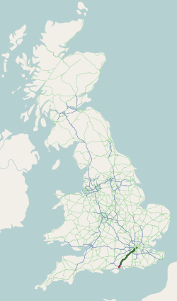
The A3, known as the Portsmouth Road or London Road in sections, is a major road connecting the City of London and Portsmouth passing close to Kingston upon Thames, Guildford, Haslemere and Petersfield. For much of its length, it is classified as a trunk road and therefore managed by National Highways. Almost all of the road has been built to dual carriageway standards or wider. Apart from bypass sections in London, the road travels in a southwest direction and, after Liss, south-southwest. Close to its southerly end, motorway traffic is routed via the A3(M), then either the east–west A27 or the Portsmouth-only M275 which has multiple lanes leading off the westbound A27 — for non-motorway traffic, the A3 continues into Portsmouth alongside the A3(M), mostly as a single carriageway in each direction through Waterlooville and adjoining small towns. The other section of single carriageways is through the urban environs of Battersea, Clapham and Stockwell towards the no ... [...More Info...] [...Related Items...] OR: [Wikipedia] [Google] [Baidu] |
Haslemere
The town of Haslemere () and the villages of Shottermill and Grayswood are in south west Surrey, England, around south west of London. Together with the settlements of Hindhead and Beacon Hill, they comprise the civil parish of Haslemere in the Borough of Waverley. The tripoint between the counties of Surrey, Hampshire and West Sussex is at the west end of Shottermill. Much of the civil parish is in the catchment area of the south branch of the River Wey, which rises on Blackdown in West Sussex. The urban areas of Haslemere and Shottermill are concentrated along the valleys of the young river and its tributaries, and many of the local roads are narrow and steep. The National Trust is a major landowner in the civil parish and its properties include Swan Barn Farm. The Surrey Hills Area of Outstanding Natural Beauty is to the north of the town and the South Downs National Park is to the south. Haslemere is thought to have originated as a planned town in the 12th century a ... [...More Info...] [...Related Items...] OR: [Wikipedia] [Google] [Baidu] |
Surrey
Surrey () is a ceremonial and non-metropolitan county in South East England, bordering Greater London to the south west. Surrey has a large rural area, and several significant urban areas which form part of the Greater London Built-up Area. With a population of approximately 1.2 million people, Surrey is the 12th-most populous county in England. The most populated town in Surrey is Woking, followed by Guildford. The county is divided into eleven districts with borough status. Between 1893 and 2020, Surrey County Council was headquartered at County Hall, Kingston-upon-Thames (now part of Greater London) but is now based at Woodhatch Place, Reigate. In the 20th century several alterations were made to Surrey's borders, with territory ceded to Greater London upon its creation and some gained from the abolition of Middlesex. Surrey is bordered by Greater London to the north east, Kent to the east, Berkshire to the north west, West Sussex to the south, East Sussex to ... [...More Info...] [...Related Items...] OR: [Wikipedia] [Google] [Baidu] |
John Ogilby
John Ogilby (also ''Ogelby'', ''Oglivie''; November 1600 – 4 September 1676) was a Scottish translator, impresario and cartographer. Best known for publishing the first British road atlas, he was also a successful translator, noted for publishing his work in handsome illustrated editions. He also established Ireland's first theatre on Dublin's Werburgh Street. Life Ogilby was born in or near Killemeare (Kirriemuir), Scotland in November 1600. When his father was made a prisoner within the jurisdiction of the King's Bench, presumably for bankruptcy or debt, young John supported the family and used some of the money he earned to buy two lottery tickets, which won him a minor prize. This he used to apprentice himself to a dancing master and to obtain his father's release. By further good management of his finances, he was able to buy himself an early completion of his apprenticeship and set up a dancing school of his own. However, a fall while dancing in a masque lamed him fo ... [...More Info...] [...Related Items...] OR: [Wikipedia] [Google] [Baidu] |
British Rail Class 444 Passing Through Liphook Railway Station In Liphook, Hampshire, England
British may refer to: Peoples, culture, and language * British people, nationals or natives of the United Kingdom, British Overseas Territories, and Crown Dependencies. ** Britishness, the British identity and common culture * British English, the English language as spoken and written in the United Kingdom or, more broadly, throughout the British Isles * Celtic Britons, an ancient ethno-linguistic group * Brittonic languages, a branch of the Insular Celtic language family (formerly called British) ** Common Brittonic, an ancient language Other uses *''Brit(ish)'', a 2018 memoir by Afua Hirsch *People or things associated with: ** Great Britain, an island ** United Kingdom, a sovereign state ** Kingdom of Great Britain (1707–1800) ** United Kingdom of Great Britain and Ireland (1801–1922) See also * Terminology of the British Isles * Alternative names for the British * English (other) * Britannic (other) * British Isles * Brit (other) * Briton (d ... [...More Info...] [...Related Items...] OR: [Wikipedia] [Google] [Baidu] |
Battle Of Trafalgar
The Battle of Trafalgar (21 October 1805) was a naval engagement between the British Royal Navy and the combined fleets of the French and Spanish Navies during the War of the Third Coalition (August–December 1805) of the Napoleonic Wars (1803–1815). As part of Napoleon's plans to invade England, the French and Spanish fleets combined to take control of the English Channel and provide the Grande Armée safe passage. The allied fleet, under the command of the French admiral, Pierre-Charles Villeneuve, sailed from the port of Cádiz in the south of Spain on 18 October 1805. They encountered the British fleet under Lord Nelson, recently assembled to meet this threat, in the Atlantic Ocean along the southwest coast of Spain, off Cape Trafalgar. Nelson was outnumbered, with 27 British ships of the line to 33 allied ships including the largest warship in either fleet, the Spanish ''Santísima Trinidad''. To address this imbalance, Nelson sailed his fleet directly at the allied ba ... [...More Info...] [...Related Items...] OR: [Wikipedia] [Google] [Baidu] |


