|
Lewknor
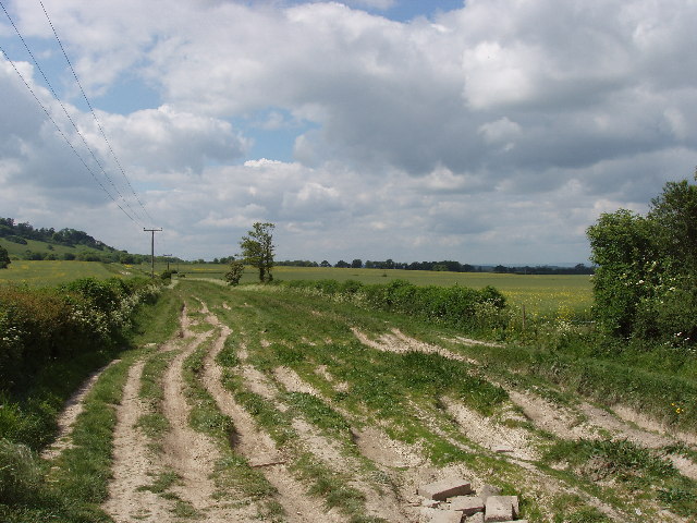
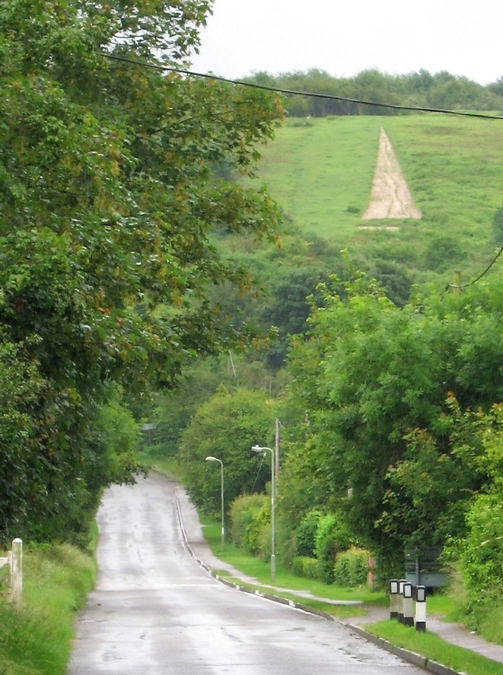
Lewknor is a village and civil parish about south of Thame in Oxfordshire.The civil parish includes the villages of Postcombe and South Weston. The 2011 Census recorded the parish's population as 663. Early history Iron Age and Roman era Two ancient roads pass through the parish: the ancient Icknield Way at the foot of the Chiltern Hills escarpment and The Ridgeway along the top. Both have been roads since at least the Iron Age. Early in the 1970s archaeological investigations prior to building of the M40 motorway through the parish found traces of a Romano-British settlement near the village and a Romano-British cemetery near Icknield Way. Saxon era and Middle Ages Lewknor is a Saxon spring line settlement near the foot of the Chilterns chalk escarpment. The toponym is derived from the Old English name of its owner ''Leofeca'', recorded in a lawsuit in AD 990. In the 11th century the manor of ''Luvechenora'' was held by Edith of Wessex, who in 1045 became queen consort ... [...More Info...] [...Related Items...] OR: [Wikipedia] [Google] [Baidu] |
South Weston
South Weston is a village in Lewknor civil parish, about south of Thame in Oxfordshire. There are about 19 households in the parish. Manor South Weston is recorded in the Domesday Book of 1086 and the Hundred Rolls of 1279. Both then and later in the Middle Ages, the parish's farming interests overlapped with those of neighbouring Wheatfield. Parish church The current Church of England parish church of Saint Lawrence was designed by the Gothic Revival architect R.C. Hussey and built in 1860. It is in a Decorated Gothic English Gothic is an architectural style that flourished from the late 12th until the mid-17th century. The style was most prominently used in the construction of cathedrals and churches. Gothic architecture's defining features are pointed ar ... style and incorporates some elements of the previous Norman architecture, Norman church. The Baptismal font, font is 13th century, and there is a 14th-century tomb recess in the north wall of the chancel. Ov ... [...More Info...] [...Related Items...] OR: [Wikipedia] [Google] [Baidu] |
Postcombe
Postcombe is a village in the civil parish of Lewknor. It is about south of Thame in Oxfordshire and about 2 miles (3.2 km) from Lewknor. It is on the A40 road with the Chiltern Hills to the east and the M40 motorway just to the south. In 1971–73 the M40 Archaeological research group excavating a site at Postcombe found three Saxon graves, one of which was of a child. A bronze buckle in one of the graves dated the burials to the 7th century. On the morning of 18 June 1643, Royalist cavalry based in Oxford attacked a Parliamentary A parliamentary system, or parliamentarian democracy, is a system of democratic governance of a state (or subordinate entity) where the executive derives its democratic legitimacy from its ability to command the support ("confidence") of the ... garrison based in the village, setting fire to some of the houses. The village has a public house, England's Rose, that was formerly The Feathers. There is also a filling station. The current L ... [...More Info...] [...Related Items...] OR: [Wikipedia] [Google] [Baidu] |
Icknield Way
The Icknield Way is an ancient trackway in southern and eastern England that runs from Norfolk to Wiltshire. It follows the chalk escarpment that includes the Berkshire Downs and Chiltern Hills. Background It is generally said to be, within Great Britain, one of the oldest roads the route of which can still be traced, being one of the few long-distance trackways to have existed before the Romans occupied the country. However, this has been disputed, and the evidence for its being a prehistoric route has been questioned. The name is Celto-British in derivation, and may be named after the Iceni tribe. They may have established this route to permit trade with other parts of the country from their base in East Anglia. It has also been suggested that the road has older prehistoric origins. The name is also said to have been initially used for the part to the west and south (i.e. south of the River Thames) but now refers usually to the track or traces north of the Thames. ... [...More Info...] [...Related Items...] OR: [Wikipedia] [Google] [Baidu] |
Watlington, Oxfordshire
Watlington is a small market town and civil parish about south of Thame in Oxfordshire, near the county's eastern edge and less than from its border with Buckinghamshire. The parish includes the hamlets of Christmas Common, Greenfield and Howe Hill, all of which are in the Chiltern Hills. The 2011 Census recorded the parish's population as 2,727. History The Watlington area is likely to have been settled at an early date, encouraged by the proximity of the Icknield Way. The toponym means "settlement of Waecel's people" and indicates occupation from around the 6th century. A 9th-century charter by Æthelred of Mercia records eight 'manses' or major dwellings in Watlington. The Domesday Book of 1086 referred to the town as ''Watelintone'' or ''Watelintune''. Medieval documents indicate that the modern street plan was in existence in the 14th century, as ''Cochynes-lane'' (Couching Street), and Brook Street are recorded. There are records of inns in Watlington since the 15th ... [...More Info...] [...Related Items...] OR: [Wikipedia] [Google] [Baidu] |
Chiltern Hills
The Chiltern Hills is a chalk escarpment in England. The area, northwest of London, covers stretching from Goring-on-Thames in the southwest to Hitchin in the northeast - across Oxfordshire, Buckinghamshire, Hertfordshire, and Bedfordshire. The hills are at their widest. In 1965 almost half of the Chiltern Hills was designated as an Area of Outstanding Natural Beauty (AONB). The northwest boundary is clearly defined by the escarpment. The dip slope is by definition more gradual, and merges with the landscape to the southeast. The southwest endpoint is the River Thames. The hills decline slowly in prominence in northeast Bedfordshire.The Changing Landscape of the Chilterns Chilterns AoNB, Accessed 19 February 2012 ... [...More Info...] [...Related Items...] OR: [Wikipedia] [Google] [Baidu] |
M40 Motorway
The M40 motorway links London, Oxford and Birmingham in England, a distance of approximately . The motorway is dual three lanes except for junction 1A to junction 3 (which is dual four lanes) a short section in-between the exit and entry slip-roads at junction 4 (which is two lanes in both directions) and also between the slip-roads at junction 9 (in the southbound direction only). An Active Traffic Management system operates on the short section northbound from junction 16 ( A3400) to the M42. History London to Great Milton The motorway between London and Oxford was constructed in stages between 1967 and 1974. The first section opened in June 1967, from Handy Cross roundabout, High Wycombe to Stokenchurch (junctions 4–5). In 1969, extending in a southerly direction to Holtspur, Beaconsfield, a temporary junction 2 was opened,. The section bypassing Beaconsfield was built in 1971 and the section past Gerrards Cross to junction 1 was completed in 1973. In 1974, the mot ... [...More Info...] [...Related Items...] OR: [Wikipedia] [Google] [Baidu] |
South Oxfordshire
South Oxfordshire is a local government district in the ceremonial county of Oxfordshire, England. Its council is temporarily based outside the district at Abingdon-on-Thames pending a planned move to Didcot, the district's largest town. The areas located south of the River Thames are within the historic county of Berkshire. History The district was formed on 1 April 1974, under the Local Government Act 1972, covering the area of six former districts, which were abolished at the same time: * Bullingdon Rural District *Henley-on-Thames Municipal Borough * Henley Rural District * Thame Urban District * Wallingford Municipal Borough * Wallingford Rural District The two Wallingford districts had previously been part of the administrative county of Berkshire, whilst the other four districts had been in the administrative county of Oxfordshire. The new district was originally given the name "Wallingford District". The shadow authority elected in 1973 to oversee the transition reques ... [...More Info...] [...Related Items...] OR: [Wikipedia] [Google] [Baidu] |
Oxfordshire
Oxfordshire is a ceremonial and non-metropolitan county in the north west of South East England. It is a mainly rural county, with its largest settlement being the city of Oxford. The county is a centre of research and development, primarily due to the work of the University of Oxford and several notable science parks. These include the Harwell Science and Innovation Campus and Milton Park, both situated around the towns of Didcot and Abingdon-on-Thames. It is a landlocked county, bordered by six counties: Berkshire to the south, Buckinghamshire to the east, Wiltshire to the south west, Gloucestershire to the west, Warwickshire to the north west, and Northamptonshire to the north east. Oxfordshire is locally governed by Oxfordshire County Council, together with local councils of its five non-metropolitan districts: City of Oxford, Cherwell, South Oxfordshire, Vale of White Horse, and West Oxfordshire. Present-day Oxfordshire spanning the area south of the Thames wa ... [...More Info...] [...Related Items...] OR: [Wikipedia] [Google] [Baidu] |
Henley (UK Parliament Constituency)
Henley is a constituency in Oxfordshire represented in the House of Commons of the UK Parliament since 2008 by John Howell, a Member of Parliament from the Conservative Party. He was elected in a by-election following the resignation of future Prime Minister Boris Johnson, who had taken office as Mayor of London. The constituency was established for the 1885 general election. Constituency profile The seat has throughout its history consisted of the town of Henley and a well-connected part of the Chiltern Hills AONB interspersed by the larger settlements of Thame and Chinnor and a narrow more developed area adjoining the Thames on one bank. The local economy, interconnected with London, Oxford and in the far south Reading, ensures a high rate of employment and its natural environment attracts retirees and high income owners. The seat has good rail connections to Central London. As of 2021, the largest town in the constituency is Thame. History Two prominent Cabinet minist ... [...More Info...] [...Related Items...] OR: [Wikipedia] [Google] [Baidu] |
Toponymy
Toponymy, toponymics, or toponomastics is the study of ''toponyms'' ( proper names of places, also known as place names and geographic names), including their origins, meanings, usage and types. Toponym is the general term for a proper name of any geographical feature, and full scope of the term also includes proper names of all cosmographical features. In a more specific sense, the term ''toponymy'' refers to an inventory of toponyms, while the discipline researching such names is referred to as ''toponymics'' or ''toponomastics''. Toponymy is a branch of onomastics, the study of proper names of all kinds. A person who studies toponymy is called ''toponymist''. Etymology The term toponymy come from grc, τόπος / , 'place', and / , 'name'. The ''Oxford English Dictionary'' records ''toponymy'' (meaning "place name") first appearing in English in 1876. Since then, ''toponym'' has come to replace the term ''place-name'' in professional discourse among geographers. Top ... [...More Info...] [...Related Items...] OR: [Wikipedia] [Google] [Baidu] |
All Souls College, Oxford
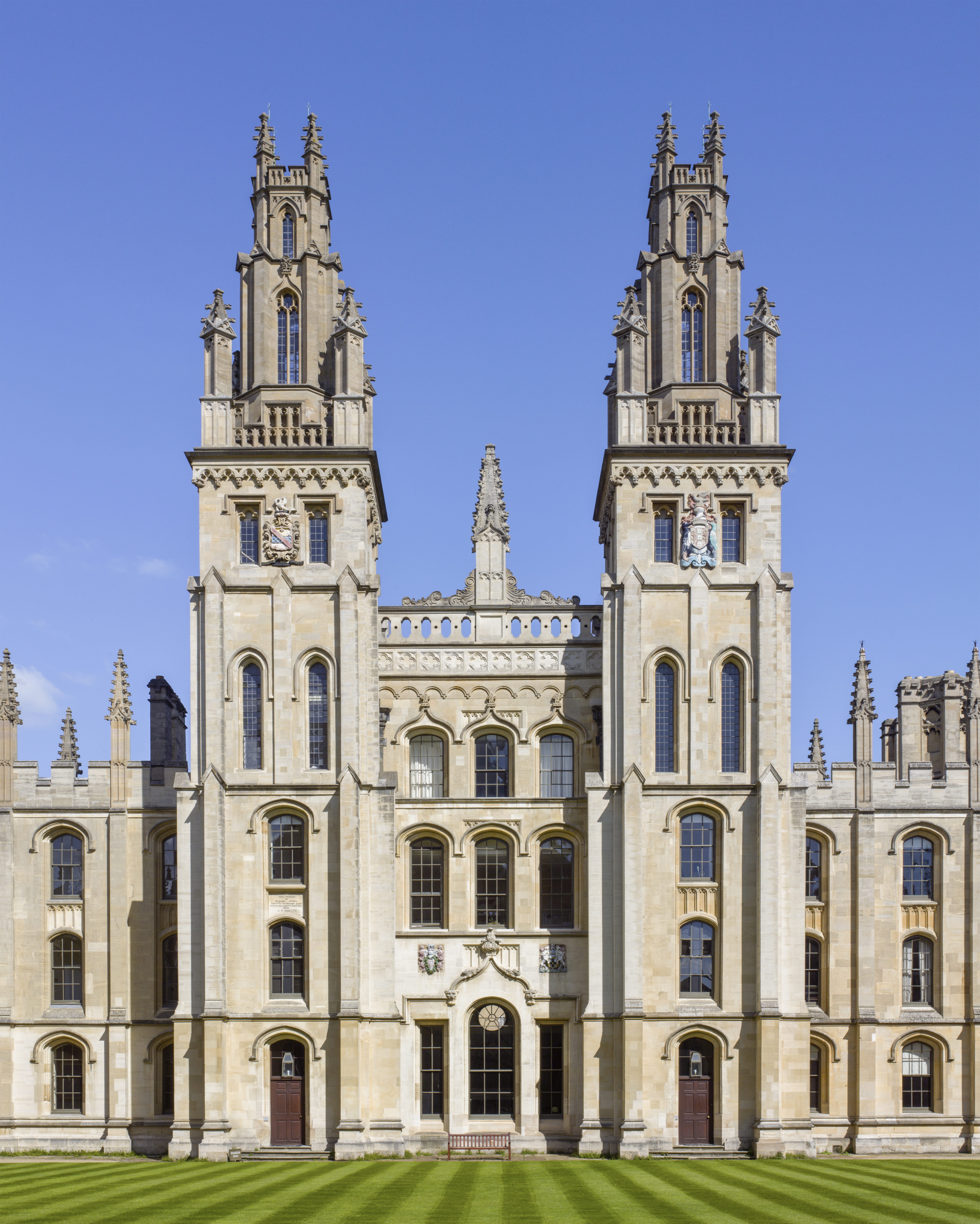
All Souls College (official name: College of the Souls of All the Faithful Departed) is a constituent college of the University of Oxford in England. Unique to All Souls, all of its members automatically become fellows (i.e., full members of the college's governing body). It has no undergraduate members, but each year, recent graduate and postgraduate students at Oxford are eligible to apply for a small number of examination fellowships through a competitive examination (once described as "the hardest exam in the world") and, for those shortlisted after the examinations, an interview.Is the All Souls College entrance exam easy now? , ''The Guardian'', 17 May 2010. The college entrance is on the north side of [...More Info...] [...Related Items...] OR: [Wikipedia] [Google] [Baidu] |


