|
Lemonweir River
The Lemonweir River is a river in the U.S. state of Wisconsin. It is a tributary of the Wisconsin River as the Lemonweir River originates near Tomah in Monroe County and flows into Juneau County through New Lisbon and Mauston before converging into the Wisconsin River. The Menominee The Menominee (; mez, omǣqnomenēwak meaning ''"Menominee People"'', also spelled Menomini, derived from the Ojibwe language word for "Wild Rice People"; known as ''Mamaceqtaw'', "the people", in the Menominee language) are a federally recog ... name of the river is ''Manōnaeh-Sipiah,'' meaning "red or yellow earth, clay or chalk-like river". References Rivers of Wisconsin Rivers of Monroe County, Wisconsin Rivers of Juneau County, Wisconsin {{Wisconsin-river-stub ... [...More Info...] [...Related Items...] OR: [Wikipedia] [Google] [Baidu] |
Wisconsin
Wisconsin () is a state in the upper Midwestern United States. Wisconsin is the 25th-largest state by total area and the 20th-most populous. It is bordered by Minnesota to the west, Iowa to the southwest, Illinois to the south, Lake Michigan to the east, Michigan to the northeast, and Lake Superior to the north. The bulk of Wisconsin's population live in areas situated along the shores of Lake Michigan. The largest city, Milwaukee, anchors its largest metropolitan area, followed by Green Bay and Kenosha, the third- and fourth-most-populated Wisconsin cities respectively. The state capital, Madison, is currently the second-most-populated and fastest-growing city in the state. Wisconsin is divided into 72 counties and as of the 2020 census had a population of nearly 5.9 million. Wisconsin's geography is diverse, having been greatly impacted by glaciers during the Ice Age with the exception of the Driftless Area. The Northern Highland and Western Upland along wi ... [...More Info...] [...Related Items...] OR: [Wikipedia] [Google] [Baidu] |
Wisconsin River
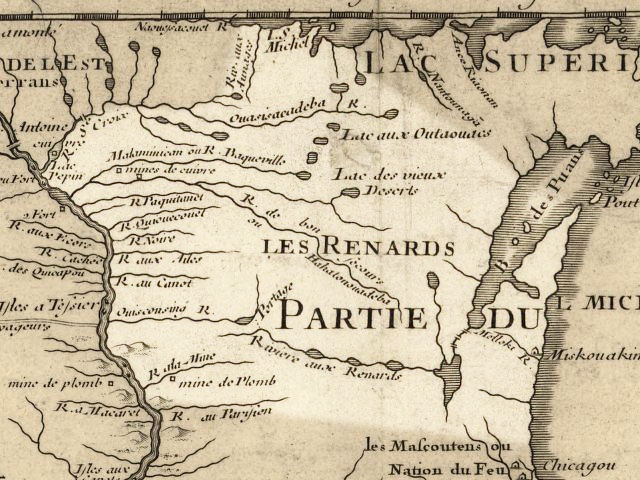
The Wisconsin River is a tributary of the Mississippi River in the U.S. state of Wisconsin. At approximately 430 miles (692 km) long, it is the state's longest river. The river's name, first recorded in 1673 by Jacques Marquette as "Meskousing", is rooted in the Algonquian languages used by the area's American Indian tribes, but its original meaning is obscure. French explorers who followed in the wake of Marquette later modified the name to "Ouisconsin", and so it appears on Guillaume de L'Isle's map (Paris, 1718). This was simplified to "Wisconsin" in the early 19th century before being applied to Wisconsin Territory and finally the state of Wisconsin. The Wisconsin River originates in the forests of the North Woods Lake District of northern Wisconsin, in Lac Vieux Desert near the border of the Upper Peninsula of Michigan. It flows south across the glacial plain of central Wisconsin, passing through Wausau, Stevens Point, and Wisconsin Rapids. In southern Wisconsin it en ... [...More Info...] [...Related Items...] OR: [Wikipedia] [Google] [Baidu] |
Tomah, Wisconsin
Tomah is a city in Monroe County, Wisconsin, United States. The population was 9,570 as of the 2020 census. The city is surrounded by the Town of Tomah and the Town of La Grange. History Tomah was founded by Robert E. Gillett in 1855 and incorporated as a city in 1883, but the charter was not issued until 1894. It is named after Thomas Carron (ca. 1752–1817), a trader at Green Bay who had integrated into the Menominee tribe. The Menominees pronounced the name ''Tomah'' or ''Tomau'' and he became known as Chief Tomah. ''Tomah'' was adopted as the name for the settlement in Monroe County on the unsubstantiated belief that Chief Tomah had once held a tribal gathering in the area. In 1891, construction began in Tomah for a Native American residential school funded by the federal government. The Tomah Indian Industrial School opened in 1893 with six Ho-Chunk children as its first students and would become the most significant residential school in Wisconsin. The curriculum was d ... [...More Info...] [...Related Items...] OR: [Wikipedia] [Google] [Baidu] |
Monroe County, Wisconsin
Monroe County is a county (United States), county in the U.S. state of Wisconsin. As of the 2020 United States census, 2020 census, the population was 46,274. Its county seat is Sparta, Wisconsin, Sparta. Geography According to the United States Census Bureau, U.S. Census Bureau, the county has a total area of , of which is land and (0.8%) is water. United States Army posts * Fort McCoy, Wisconsin Adjacent counties * Jackson County, Wisconsin, Jackson County - north * Juneau County, Wisconsin, Juneau County - east * Vernon County, Wisconsin, Vernon County - south * La Crosse County, Wisconsin, La Crosse County - west Demographics 2020 census As of the 2020 United States census, census of 2020, the population was 46,274. The population density was . There were 19,769 housing units at an average density of . The racial makeup of the county was 89.2% White (U.S. Census), White, 1.4% Black (U.S. Census), Black or African American (U.S. Census), African American, 1.3% Native ... [...More Info...] [...Related Items...] OR: [Wikipedia] [Google] [Baidu] |
Juneau County, Wisconsin
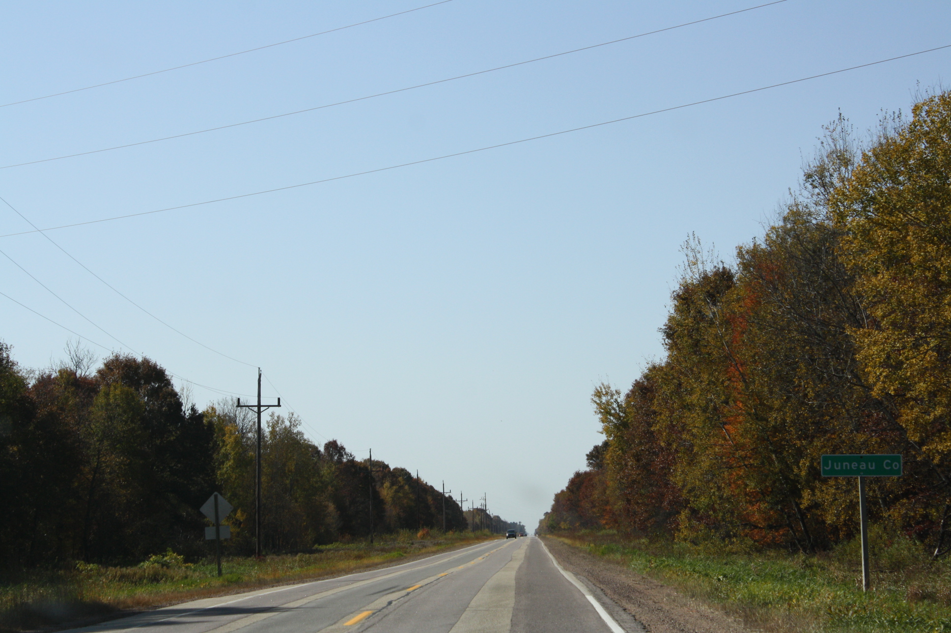
Juneau County is a county located in the U.S. state of Wisconsin. As of the 2020 census, the population was 26,718. Its county seat is Mauston. History Before white settlement, before loggers and explorers, the area that is now Juneau County was the home of Native Americans who left behind artifacts like the thunderbirds etched on the wall at Twin Bluffs and the Gee's Slough mounds outside New Lisbon. Juneau County was established in 1857 when the Wisconsin Legislature passed legislation separating lands west of the Wisconsin River from what was then Adams County. After a contest with neighboring New Lisbon, the county seat was established in Maugh's Town, which is known today as Mauston. The county was named after Solomon Juneau, a founder of Milwaukee. Geography According to the U.S. Census Bureau, the county has a total area of , of which is land and (4.6%) is water. Major highways Railroads *Canadian National *Canadian Pacific *Union Pacific Buses *List of int ... [...More Info...] [...Related Items...] OR: [Wikipedia] [Google] [Baidu] |
New Lisbon, Wisconsin
New Lisbon is a city in Juneau County, Wisconsin, United States. The population was 1,748 at the 2020 census. History The site of New Lisbon was used as a seasonal winter encampment by Ho-Chunk people, who called it (anglicized to ''Wa Du Shuda''), meaning "we leave canoe here." The United States acquired the land from the Ho-Chunk nation in an 1836 treaty. The first white settlers, Amasa Wilson and C.B. Smith, arrived in 1838 to harvest lumber in the vicinity. Wilson and Smith selected the site of New Lisbon for a log boom on the Lemonweir River and constructed a sawmill at the site in 1842-1843. In 1855, Amasa Wilson platted the village. J.A. Chase platted an addition not long afterwards. The village was originally named ''Mill Haven'' but later changed to ''New Lisbon'', possibly at the suggestion of county clerk Larmon Saxton, who hailed from Lisbon, Ohio. In 1857, the La Crosse and Milwaukee Railroad connected to the community. New Lisbon was incorporated by the Wiscons ... [...More Info...] [...Related Items...] OR: [Wikipedia] [Google] [Baidu] |
Mauston, Wisconsin
Mauston is a city in and the county seat of Juneau County, Wisconsin, United States. The population was 4,347 as of the 2020 census. It is approximately 70 miles northwest from the state capital, Madison. History Mauston was founded by Milton M. Maughs. The town was originally named Maughs Town, after him. The town's beginning was based on the lumber industry of early Wisconsin. The history of Mauston is currently preserved in the Boorman House on Union Street.http://epodunk.com/cgi-bin/genInfo.php?locIndex=24272 e-Podunk Geography Mauston is located at (43.798, -90.077). It is in the Central Standard time zone. Elevation is 883 feet. According to the United States Census Bureau, the city has a total area of , of which, is land and is water. Transportation Mauston is served by the Mauston-New Lisbon Union Airport (82C). This general-aviation airport is jointly owned with New Lisbon. The closest airports with commercial service are Dane County Regional Airport and La ... [...More Info...] [...Related Items...] OR: [Wikipedia] [Google] [Baidu] |
Menominee
The Menominee (; mez, omǣqnomenēwak meaning ''"Menominee People"'', also spelled Menomini, derived from the Ojibwe language word for "Wild Rice People"; known as ''Mamaceqtaw'', "the people", in the Menominee language) are a federally recognized nation of Native Americans. Their land base is the Menominee Indian Reservation in Wisconsin. Their historic territory originally included an estimated in present-day Wisconsin and the Upper Peninsula of Michigan. The tribe currently has about 8,700 members. Federal recognition of the tribe was terminated in the 1960s under policy of the time which stressed assimilation. During that period, they brought what has become a landmark case in Indian law to the United States Supreme Court, in '' Menominee Tribe v. United States'' (1968), to protect their treaty hunting and fishing rights. The Wisconsin Supreme Court and the United States Court of Claims had drawn opposing conclusions about the effect of the termination on Menominee hu ... [...More Info...] [...Related Items...] OR: [Wikipedia] [Google] [Baidu] |
Rivers Of Wisconsin
This is a list of rivers in the U.S. state of Wisconsin. By drainage basin This list is arranged by drainage basin, with respective tributaries indented under each larger stream's name. Great Lakes Drainage Lake Michigan *Menominee River ** Wausaukee River ** Pike River **Pemebonwon River **Little Popple River ** Pine River *** Popple River **Brule River *Peshtigo River ** Little Peshtigo River ** Thunder River **Rat River ***Indian River *Oconto River **Little River *Pensaukee River *Little Suamico River *Suamico River **Potter Creek * Fox River **East River ** Fond du Lac River ** Wolf River ***Pine River ***Rat River ***Waupaca River ****Crystal River ****Tomorrow River ***Little Wolf River *** Embarrass River ****Pigeon River ***Shioc River *** Red River ***Evergreen River ***Lily River ***Hunting River **White River **Mecan River **Grand River **Montello River *Red River *Mink River * Ahnapee River *Kewaunee River * East Twin River * West Twin River ** Devils River ** ... [...More Info...] [...Related Items...] OR: [Wikipedia] [Google] [Baidu] |
Rivers Of Monroe County, Wisconsin
A river is a natural flowing watercourse, usually freshwater, flowing towards an ocean, sea, lake or another river. In some cases, a river flows into the ground and becomes dry at the end of its course without reaching another body of water. Small rivers can be referred to using names such as creek, brook, rivulet, and rill. There are no official definitions for the generic term river as applied to geographic features, although in some countries or communities a stream is defined by its size. Many names for small rivers are specific to geographic location; examples are "run" in some parts of the United States, "burn" in Scotland and northeast England, and "beck" in northern England. Sometimes a river is defined as being larger than a creek, but not always: the language is vague. Rivers are part of the water cycle. Water generally collects in a river from precipitation through a drainage basin from surface runoff and other sources such as groundwater recharge, springs, a ... [...More Info...] [...Related Items...] OR: [Wikipedia] [Google] [Baidu] |


