|
Lanehead
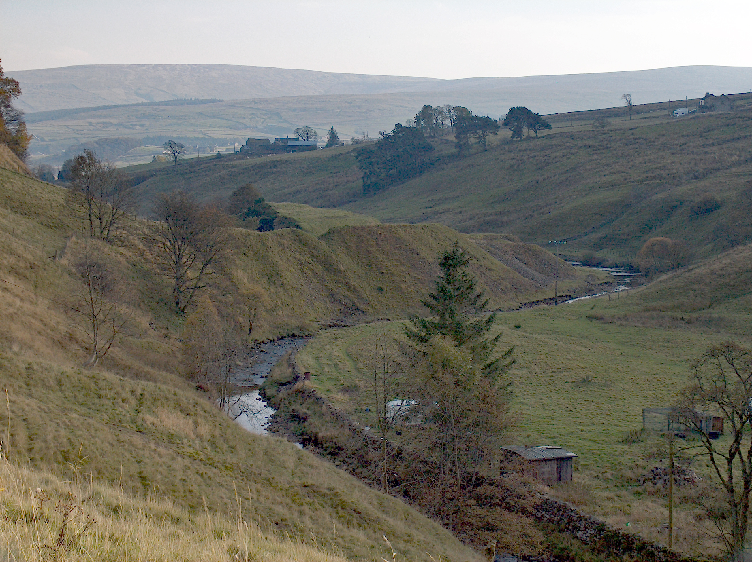
Lanehead is a hamlet in County Durham, England. It lies at the head of Weardale, approximately 2 km west of Cowshill. It is also located near to Killhope, and the boundary of the county of Cumbria. In the 2001 census Lanehead had a population of 40. The primary industry in the area is farming, and the River Wear The River Wear (, ) in North East England rises in the Pennines and flows eastwards, mostly through County Durham to the North Sea in the City of Sunderland. At long, it is one of the region's longest rivers, wends in a steep valley through th ... runs through the area. It is the first village encountered when entering County Durham from the West, from Alston. References External links Hamlets in County Durham Stanhope, County Durham {{Durham-geo-stub ... [...More Info...] [...Related Items...] OR: [Wikipedia] [Google] [Baidu] |
Stanhope, County Durham
Stanhope is a market town and civil parish in the County Durham district, in the ceremonial county of Durham, England. It lies on the River Wear between Eastgate and Frosterley, in the north-east of Weardale. The main A689 road over the Pennines is crossed by the B6278 between Barnard Castle and Shotley Bridge. In 2001 Stanhope had a population of 1,633, in 2019 an estimate of 1,627, and a figure of 1,602 in the 2011 census for the ONS built-up-area which includes Crawleyside. In 2011 the parish population was 4,581. Civil parish The civil parish includes the settlements of Cornriggs, Cowshill, Daddry Shield, Eastgate, Frosterley, Ireshopeburn, Lanehead, St John's Chapel, Wearhead and Westgate, all on the A689 road, and also Bollihope, Bridge End, Brotherlee, Copthill, Crawleyside, East Blackdene, Hill End, Lintzgarth, New House, Rookhope and West Blackdene. Other places it includes are Killhope, Shittlehope, Unthank and White Kirkley. This gives it the lar ... [...More Info...] [...Related Items...] OR: [Wikipedia] [Google] [Baidu] |
Cornriggs
Cornriggs is a hamlet in County Durham, England. It is situated on the north side of Weardale in the North Pennines, which is designated as both an Area of Outstanding Natural Beauty and a UNESCO Global Geopark. The hamlet lies around the A689 road between the villages of Lanehead and Cowshill and is located near Killhope Burn, a tributary of the River Wear. It primarily consists of Low Cornriggs Farm and there is also a small number of other buildings around the area. Low Cornriggs Farm had fallen out of use by the early 1970s and the farmhouse remained empty and derelict for twenty years until purchased in the early 1990s. The new owner embarked on a series of renovations, including restoring footpaths and walls on the property, breeding animals native to the local area, and converting the farmhouse into a bed and breakfast Bed and breakfast (typically shortened to B&B or BnB) is a small lodging establishment that offers overnight accommodation and breakfast. Bed and b ... [...More Info...] [...Related Items...] OR: [Wikipedia] [Google] [Baidu] |
Cowshill
Cowshill is a village in County Durham, England. It is situated at the top of Weardale, between Lanehead and Wearhead. In the United Kingdom Census 2001, 2001 census Cowshill had a population of 156. The Church of St Thomas (1912) is located in Cowshill, and is the parish church for Heatherycleugh parish. Bridge End Cottage is notable for being a 17th-century Bastle house, and is a Grade II listed building. The Cowshill War Memorial commemorates the seven men from the area lost in the First World War and three who died in the Second World War. Burtree Ford was once considered a separate village, now considered as part of Cowshill, but its name is still apparent in Burtree Farm, and Burtreeford Bridge, over Killhope Burn, and the former Burtreeford Mill. References External links Villages in County Durham Stanhope, County Durham {{Durham-geo-stub ... [...More Info...] [...Related Items...] OR: [Wikipedia] [Google] [Baidu] |
County Durham (district)
County Durham is a unitary authority in the ceremonial county of Durham, North East England. It covers the former non-metropolitan county and its seven districts: Durham (city), Easington, Sedgefield (borough), Teesdale, Wear Valley, Derwentside, and Chester-le-Street. It is governed by Durham County Council and has 136 civil parishes. The district is in a ceremonial county with three boroughs: Borough of Darlington, Borough of Hartlepool & Borough of Stockton-on-Tees (area north of the River Tees). The area is 2,232.6 km2 (862 sq m). History The district was created on the 1 April 2009, following the merger of all the borough and districts (Excluding the boroughs of Darlington, Hartlepool and Stockton-on-Tees) which were already unitary authorities and the towns of Gateshead, Jarrow, South Shields and the city of Sunderland were already part of the Tyne and Wear metropolitan county from 1974. Geography The district has multiple hamlets and villages. Settlements with town ... [...More Info...] [...Related Items...] OR: [Wikipedia] [Google] [Baidu] |
County Durham
County Durham ( ), officially simply Durham,UK General Acts 1997 c. 23Lieutenancies Act 1997 Schedule 1(3). From legislation.gov.uk, retrieved 6 April 2022. is a ceremonial county in North East England.North East Assembly �About North East England. Retrieved 30 November 2007. The ceremonial county spawned from the historic County Palatine of Durham in 1853. In 1996, the county gained part of the abolished ceremonial county of Cleveland.Lieutenancies Act 1997 . Retrieved 27 October 2014. The county town is the of |
Hamlet (place)
A hamlet is a human settlement that is smaller than a town or village. Its size relative to a Parish (administrative division), parish can depend on the administration and region. A hamlet may be considered to be a smaller settlement or subdivision or satellite entity to a larger settlement. The word and concept of a hamlet has roots in the Anglo-Norman settlement of England, where the old French ' came to apply to small human settlements. Etymology The word comes from Anglo-Norman language, Anglo-Norman ', corresponding to Old French ', the diminutive of Old French ' meaning a little village. This, in turn, is a diminutive of Old French ', possibly borrowed from (West Germanic languages, West Germanic) Franconian languages. Compare with modern French ', Dutch language, Dutch ', Frisian languages, Frisian ', German ', Old English ' and Modern English ''home''. By country Afghanistan In Afghanistan, the counterpart of the hamlet is the Qila, qala (Dari language, Dari: ... [...More Info...] [...Related Items...] OR: [Wikipedia] [Google] [Baidu] |
Weardale
Weardale is a dale, or valley, on the east side of the Pennines in County Durham, England. Large parts of Weardale fall within the North Pennines Area of Outstanding Natural Beauty (AONB) – the second-largest AONB in England and Wales. The upper dale is surrounded by high fells (up to O.D. at Burnhope Seat) and heather grouse moors. The River Wear flows through Weardale before reaching Bishop Auckland and then Durham, meeting the sea at Sunderland. The Wear Valley local government district covered the upper part of the dale, including Weardale, between 1974 and 2009, when it was abolished on County Durham's becoming a unitary authority. (From 1894 to 1974 there was a Weardale Rural District.) Upper Weardale is in the parliamentary constituency of North West Durham. The dale's principal settlements include St John's Chapel and the towns of Crook, Stanhope and Wolsingham. Local climate Weardale's winters are typically harsh and prolonged with regular snow, nowadays ta ... [...More Info...] [...Related Items...] OR: [Wikipedia] [Google] [Baidu] |
Killhope
Killhope is a small settlement at the very highest end of Weardale in County Durham, England. Killhope Pass, the road linking Killhope, County Durham to Nenthead, Cumbria, reaches 627m (2057 feet) above sea level. This makes it the highest paved public A road in the UK. The village is home of the North of England Lead Mining Museum The North of England Lead Mining Museum, better known as Killhope, is an industrial museum near the village of Cowshill, County Durham, England. The museum stands on the site of the former Park Level Mine, which is being restored to show the w ... which is based at the old Park Head Mine. References Hamlets in County Durham Stanhope, County Durham {{Durham-geo-stub ... [...More Info...] [...Related Items...] OR: [Wikipedia] [Google] [Baidu] |
Cumbria
Cumbria ( ) is a ceremonial and non-metropolitan county in North West England, bordering Scotland. The county and Cumbria County Council, its local government, came into existence in 1974 after the passage of the Local Government Act 1972. Cumbria's county town is Carlisle, in the north of the county. Other major settlements include Barrow-in-Furness, Kendal, Whitehaven and Workington. The administrative county of Cumbria consists of six districts ( Allerdale, Barrow-in-Furness, Carlisle, Copeland, Eden and South Lakeland) and, in 2019, had a population of 500,012. Cumbria is one of the most sparsely populated counties in England, with 73.4 people per km2 (190/sq mi). On 1 April 2023, the administrative county of Cumbria will be abolished and replaced with two new unitary authorities: Westmorland and Furness (Barrow-in-Furness, Eden, South Lakeland) and Cumberland ( Allerdale, Carlisle, Copeland). Cumbria is the third largest ceremonial county in England by area. It i ... [...More Info...] [...Related Items...] OR: [Wikipedia] [Google] [Baidu] |
United Kingdom Census 2001
A nationwide census, known as Census 2001, was conducted in the United Kingdom on Sunday, 29 April 2001. This was the 20th UK census and recorded a resident population of 58,789,194. The 2001 UK census was organised by the Office for National Statistics (ONS) in England and Wales, the General Register Office for Scotland (GROS) and the Northern Ireland Statistics and Research Agency (NISRA). Detailed results by region, council area, ward and output area are available from their respective websites. Organisation Similar to previous UK censuses, the 2001 census was organised by the three statistical agencies, ONS, GROS, and NISRA, and coordinated at the national level by the Office for National Statistics. The Orders in Council to conduct the census, specifying the people and information to be included in the census, were made under the authority of the Census Act 1920 in Great Britain, and the Census Act (Northern Ireland) 1969 in Northern Ireland. In England and Wales these re ... [...More Info...] [...Related Items...] OR: [Wikipedia] [Google] [Baidu] |
Farming
Agriculture or farming is the practice of cultivating plants and livestock. Agriculture was the key development in the rise of sedentary human civilization, whereby farming of domesticated species created food surpluses that enabled people to live in cities. The history of agriculture began thousands of years ago. After gathering wild grains beginning at least 105,000 years ago, nascent farmers began to plant them around 11,500 years ago. Sheep, goats, pigs and cattle were domesticated over 10,000 years ago. Plants were independently cultivated in at least 11 regions of the world. Industrial agriculture based on large-scale monoculture in the twentieth century came to dominate agricultural output, though about 2 billion people still depended on subsistence agriculture. The major agricultural products can be broadly grouped into foods, fibers, fuels, and raw materials (such as rubber). Food classes include cereals (grains), vegetables, fruits, cooking oils, meat, milk, e ... [...More Info...] [...Related Items...] OR: [Wikipedia] [Google] [Baidu] |
River Wear
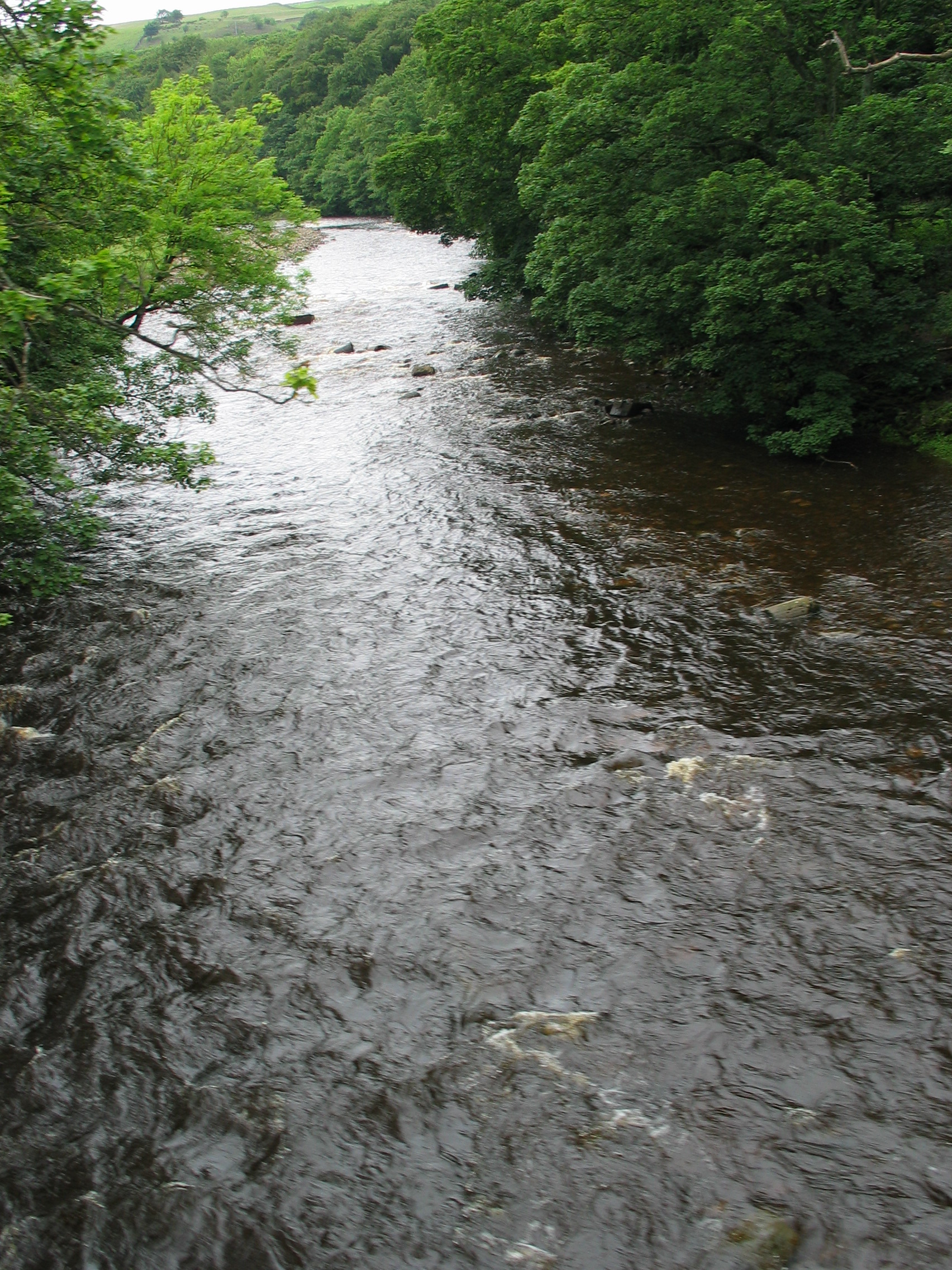
The River Wear (, ) in North East England rises in the Pennines and flows eastwards, mostly through County Durham to the North Sea in the City of Sunderland. At long, it is one of the region's longest rivers, wends in a steep valley through the cathedral city of Durham and gives its name to Weardale in its upper reach and Wearside by its mouth. Etymology The origin behind the hydronym ''Wear'' is uncertain but is generally understood to be Celtic. The ''River Vedra'' on the Roman Map of Britain may very well be the River Wear. The name may be derived from Brittonic ''*wejr'' (<''*wẹ:drā''), which meant "a bend" (c.f ''-gwair-''). An alternative but very problematic etymology might involve ''*wẹ:d-r-'', from a lengthened form of the |


