|
Lake Waihola
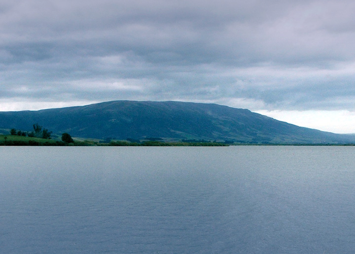
Lake Waihola is a 640 ha tidal freshwater lake located 15 km north of Milton in Otago, in New Zealand's South Island. Its area is some 9 square kilometres, with a maximum length of 6 kilometres and a mean depth of 0.75m. It is the larger of a pair of existing lakes—the other being Lake Waipori—which lie in a small area of low hills between the Taieri and Tokomairaro. Waihola is drained by the Waipori River, a tributary of the Taieri. Both lakes are very shallow and surrounded by wetlands, including the internationally renowned and protected Sinclair Wetlands which are the home to many species of wading birds. This shallowness is reflected in the name Waihola, the southern Māori form of the word ''waihora'', which means "spreading waters". Lake Waihola is a popular day trip for holidaymakers from Dunedin, 40 km to the north. The small township of Waihola (population 200), nestled against the lake's eastern edge, has facilities for fishing, yachtin ... [...More Info...] [...Related Items...] OR: [Wikipedia] [Google] [Baidu] |
Clutha District
Clutha District is a local government district of southern New Zealand, with its headquarters in the Otago town of Balclutha. The Clutha District has a land area of and an estimated population of as of . Clutha District occupies the majority of the geographical area known as South Otago. Geography The geography of the Clutha District is dominated by the valley of the Clutha River, which flows southeast from the lakes of Central Otago, bisecting the Clutha District and reaching the Pacific Ocean via two river mouths, one of which is not far from Kaitangata, the other is closer to Kaka Point. The two branches of the river (the Matau and the Kouau) form the island of Inch Clutha. To the south of this is the rough bush country of the Catlins, with its forests and rugged coastline. To the north of the Clutha valley is mainly rolling hill country, with the plain of the Tokomairaro River to the northeast, along with Lake Waihola and Lake Waipori, which are part of the catchment of ... [...More Info...] [...Related Items...] OR: [Wikipedia] [Google] [Baidu] |
Waterskiing
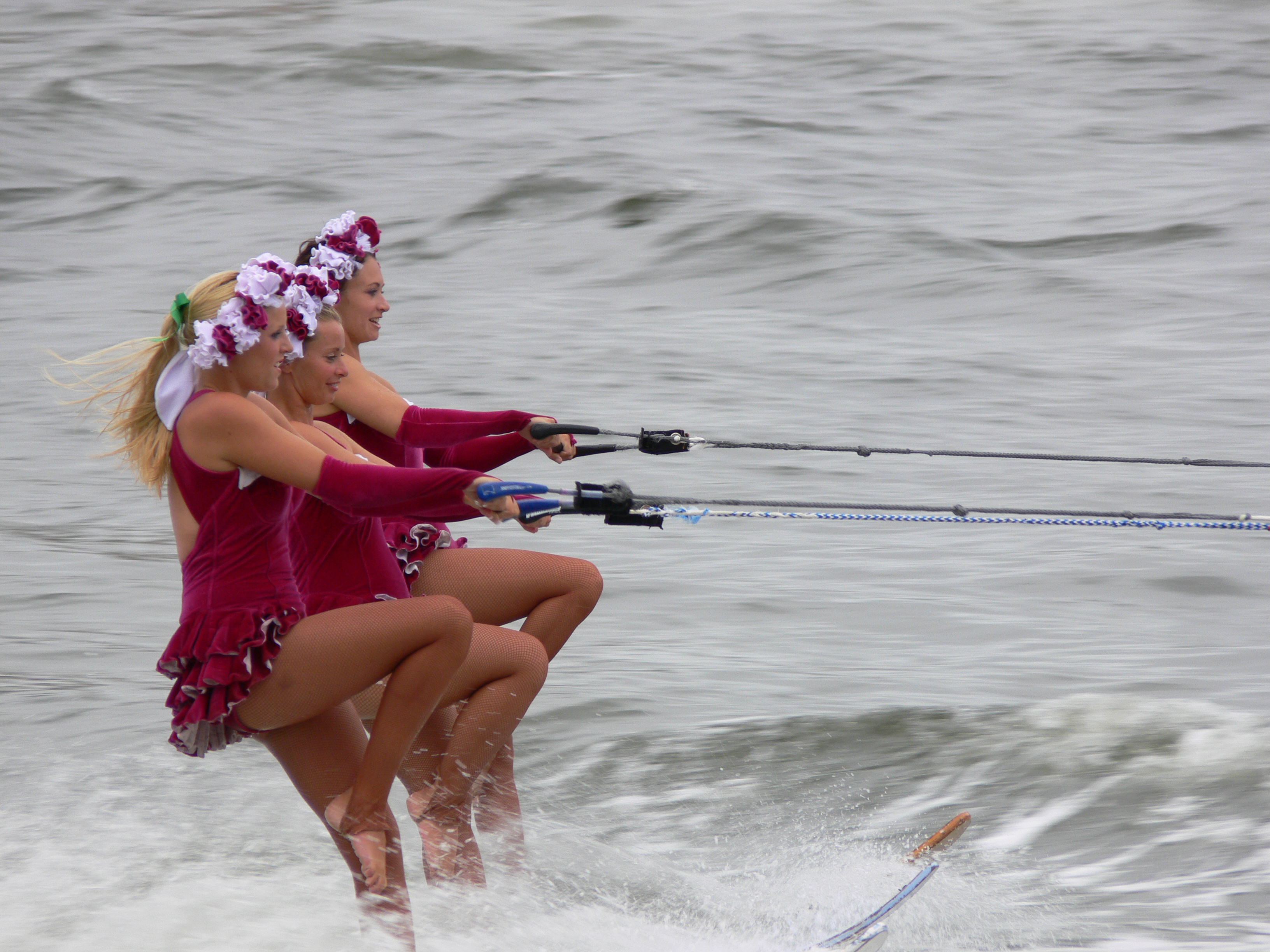
Water skiing (also waterskiing or water-skiing) is a surface water sport in which an individual is pulled behind a boat or a cable ski installation over a body of water, skimming the surface on two skis or one ski. The sport requires sufficient area on a stretch of water, one or two skis, a tow boat with tow rope, two or three people (depending on local boating laws), and a personal flotation device. In addition, the skier must have adequate upper and lower body strength, muscular endurance, and good balance. There are water ski participants around the world, in Asia and Australia, Europe, Africa, and the Americas. In the United States alone, there are approximately 11 million water skiers and over 900 sanctioned water ski competitions every year. Australia boasts 1.3 million water skiers. There are many options for recreational or competitive water skiers. These include speed skiing, trick skiing, show skiing, slaloming, jumping, barefoot skiing and wakeski. Similar, relate ... [...More Info...] [...Related Items...] OR: [Wikipedia] [Google] [Baidu] |
Little Akaloa
Little Akaloa is a small settlement and bay on Banks Peninsula, in the South Island of New Zealand. The settlement is sited at the end of the bay, a long, finger-shaped indentation in the northeastern coast of the peninsula, some southeast of Christchurch and north of the near-namesake town of Akaroa. A small long stream enters the bay at the settlement. The names of both Akaroa and Little Akaloa mean ''long harbour'' in the southern dialect of Māori. Demographics Little Akaloa covers . It is part of the larger Eastern Bays-Banks Peninsula statistical area. Little Akaloa had a population of 9 at the 2018 New Zealand census, unchanged since the 2013 census and the 2006 census 6 (six) is the natural number following 5 and preceding 7. It is a composite number and the smallest perfect number. In mathematics Six is the smallest positive integer which is neither a square number nor a prime number; it is the second small ...., but a significant drop from its earlier p ... [...More Info...] [...Related Items...] OR: [Wikipedia] [Google] [Baidu] |
Wangaloa
Wangaloa is a small coastal settlement in South Otago, New Zealand. It is located to the north of the mouths of the Clutha River the beach area, close to the town of Kaitangata. There is access to Wangaloa Beach from the Kaitangata Golf course. Wangaloa is connected to Toko Mouth Toko Mouth is a settlement close to the south bank of the mouth of the Tokomairaro River, some south of Dunedin and southeast of Milton in Otago, New Zealand. The settlement comprises some 70 holiday homes, of which a small percentage are ..., to the north, by a coastal road, and to Kaitangata, to the west, by a road which crests a low range of coastal hills. The name of Wangaloa is from the southern dialect of Māori, and means ''long bay'' (equivalent to ''Whangaroa'' in standard Māori).''Wise's New Zealand guide'' (1969) Dunedin: H. Wise & Co. p. 401 Wangaloa was home to an open cast coal mine which operated as part of the Kaitangata coal field from 1945 to 1989. The area surroundin ... [...More Info...] [...Related Items...] OR: [Wikipedia] [Google] [Baidu] |
Silverstream Lagoon, New Zealand
Silverstream is a suburb of Upper Hutt in New Zealand, just under 7 km south-west of the Upper Hutt CBD. It is in the lower (southern) part of the North Island of New Zealand at the southern end of Upper Hutt, close to the Taitā Gorge, which separates Upper Hutt from Lower Hutt. The area is sited at the mouth of a small valley formed by the Wellington Region's tectonic activity and, in part, by Hull's Creek, which discharges into the Hutt River. Demographics Silverstream statistical area covers . It had an estimated population of as of with a population density of people per km2. Silverstream had a population of 3,531 at the 2018 New Zealand census, an increase of 267 people (8.2%) since the 2013 census, and an increase of 210 people (6.3%) since the 2006 census. There were 1,266 households. There were 1,743 males and 1,791 females, giving a sex ratio of 0.97 males per female. The median age was 42.8 years (compared with 37.4 years nationally), with 693 people ... [...More Info...] [...Related Items...] OR: [Wikipedia] [Google] [Baidu] |
Lake Potaka, New Zealand
A lake is an area filled with water, localized in a basin, surrounded by land, and distinct from any river or other outlet that serves to feed or drain the lake. Lakes lie on land and are not part of the ocean, although, like the much larger oceans, they do form part of the Earth's water cycle. Lakes are distinct from lagoons, which are generally coastal parts of the ocean. Lakes are typically larger and deeper than ponds, which also lie on land, though there are no official or scientific definitions. Lakes can be contrasted with rivers or streams, which usually flow in a channel on land. Most lakes are fed and drained by rivers and streams. Natural lakes are generally found in mountainous areas, rift zones, and areas with ongoing glaciation. Other lakes are found in endorheic basins or along the courses of mature rivers, where a river channel has widened into a basin. Some parts of the world have many lakes formed by the chaotic drainage patterns left over from the last ic ... [...More Info...] [...Related Items...] OR: [Wikipedia] [Google] [Baidu] |
Loch Katrine, New Zealand
''Loch'' () is the Scottish Gaelic, Scots and Irish word for a lake or sea inlet. It is cognate with the Manx lough, Cornish logh, and one of the Welsh words for lake, llwch. In English English and Hiberno-English, the anglicised spelling lough is commonly found in place names; in Lowland Scots and Scottish English, the spelling "loch" is always used. Many loughs are connected to stories of lake-bursts, signifying their mythical origin. Sea-inlet lochs are often called sea lochs or sea loughs. Some such bodies of water could also be called firths, fjords, estuaries, straits or bays. Background This name for a body of water is Insular CelticThe current form has currency in the following languages: Scottish Gaelic, Irish, Manx, and has been borrowed into Lowland Scots, Scottish English, Irish English and Standard English. in origin and is applied to most lakes in Scotland and to many sea inlets in the west and north of Scotland. The word comes from Proto-Indo- ... [...More Info...] [...Related Items...] OR: [Wikipedia] [Google] [Baidu] |
Loch Ascog, New Zealand
''Loch'' () is the Scottish Gaelic, Scots and Irish word for a lake or sea inlet. It is cognate with the Manx lough, Cornish logh, and one of the Welsh words for lake, llwch. In English English and Hiberno-English, the anglicised spelling lough is commonly found in place names; in Lowland Scots and Scottish English, the spelling "loch" is always used. Many loughs are connected to stories of lake-bursts, signifying their mythical origin. Sea-inlet lochs are often called sea lochs or sea loughs. Some such bodies of water could also be called firths, fjords, estuaries, straits or bays. Background This name for a body of water is Insular CelticThe current form has currency in the following languages: Scottish Gaelic, Irish, Manx, and has been borrowed into Lowland Scots, Scottish English, Irish English and Standard English. in origin and is applied to most lakes in Scotland and to many sea inlets in the west and north of Scotland. The word comes from Proto-Indo- ... [...More Info...] [...Related Items...] OR: [Wikipedia] [Google] [Baidu] |
Lake Tatawai, New Zealand
Lake Tatawai was a tidal freshwater lake located immediately north of Lake Waipori Lake Waipori is the smaller and shallower of the pair of lakes located in the wetlands to the south west of Dunedin in New Zealand on the Waipori River. The Waipori River is a major tributary of the Taieri River, and these wetlands form the south ... in Otago, in New Zealand's South Island.Bray, Sharon. "Under the Eye of the Saddle Hill Taniwha", 1998. It is one of the historical lakes that was drained soon after European Settlement of the Taieri Plains. Lake Tatawai drained into Lake Waipori by a small channel, and ultimately into the Taieri. It was a very shallow lake and would have originally been surrounded by wetlands. Notes Lakes of Otago Former lakes of Oceania {{Otago-geo-stub ... [...More Info...] [...Related Items...] OR: [Wikipedia] [Google] [Baidu] |
Mosgiel, New Zealand
Mosgiel (Māori: ''Te Konika o te Matamata'') is an urban satellite of Dunedin in Otago, New Zealand, fifteen kilometres west of the city's centre. Since the re-organisation of New Zealand local government in 1989 it has been inside the Dunedin City Council area. Mosgiel has a population of approximately as of . The town celebrates its location, calling itself "The pearl of the plain". Its low-lying nature does pose problems, making it prone to flooding after heavy rains. Mosgiel takes its name from Mossgiel Farm, Ayrshire, the farm of the poet Robert Burns, the uncle of the co-founder in 1848 of the Otago settlement, the Reverend Thomas Burns. A popular, though probably apocryphal, local theory is that the extra "s" was dropped at a time when the cost of telegrams was calculated by the number of characters. The name of the Dunedin suburb of Roslyn (named for Rosslyn in Scotland) is similarly truncated. These two places were sites of major woollen mills – as was the town of M ... [...More Info...] [...Related Items...] OR: [Wikipedia] [Google] [Baidu] |
Henley, New Zealand
Henley is a township on New Zealand's Taieri Plains, named after the rowing centre Henley-on-Thames in England. It lies close to the confluence of the Taieri and Waipori Rivers at the eastern edge of the plain, at the foot of a low range of coastal hills. The township lies close to the ecologically significant Sinclair Wetlands, which lie to the west. Henley is near the south-west extremity of the City of Dunedin, 35 km from the city centre, and close to Lake Waihola, one of the country's rowing centres. Henley's population is about 250. The town was founded at some point prior to 1880. The main industry is dairy farming. Henley used to have a cheese factory which later moved to the nearby township of Momona. This was later bought out by the company that became Mainland Cheese. The churches in Henley are Presbyterian and Brethren. The original Māori name for Henley is Maitapapa. A pre-European Maori settlement lay to the south of Henley, close to the Taieri River. H ... [...More Info...] [...Related Items...] OR: [Wikipedia] [Google] [Baidu] |
Gabriel's Gully
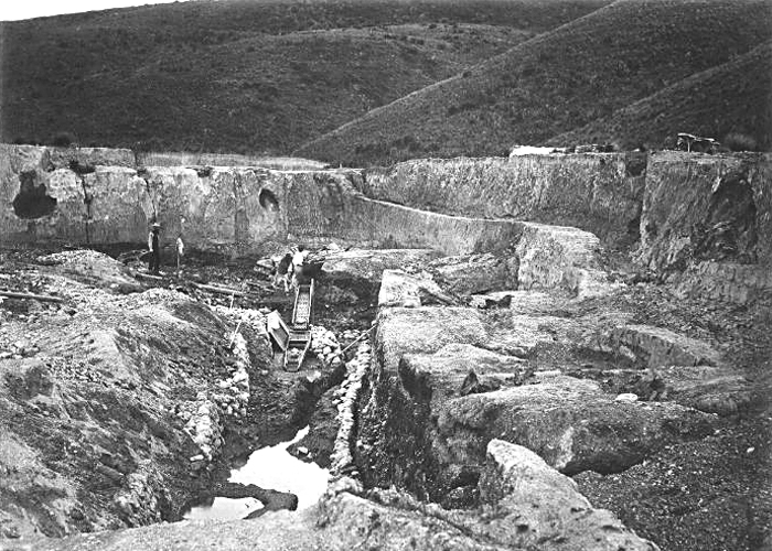
Gabriel's Gully is a locality in Otago, New Zealand, three kilometres from Lawrence township and close to the Tuapeka River. It was the site of New Zealand's first major gold rush. The discovery of gold at Gabriel's Gully by Gabriel Read on 25 May 1861 led to the Central Otago goldrush. While gold had been found in Otago before, this rush was beyond expectation, with the population of the gold field rising from almost nothing to around 11,500 within a year, twice that of Dunedin at the time.''Whykickamoocow - curious New Zealand place names'' - McCloy, Nicola, Random House New Zealand, 2006 It also stimulated overseas interest in the new colony. In May 1911, the jubilee of the discovery of gold in Gabriel's Gully was held in Lawrence, with around 2,000 people attending, including surviving miners. Gabriel's Gully today is now part of the Gabriels Gully Historic Reserve, and is managed by the Department of Conservation An environmental ministry is a national or subnati ... [...More Info...] [...Related Items...] OR: [Wikipedia] [Google] [Baidu] |


Nov2007.jpg)

