|
Lucin Cutoff
The Lucin Cutoff is a railroad line in Utah, United States that runs from Ogden to its namesake in Lucin. The most prominent feature of the cutoff was a railroad trestle crossing the Great Salt Lake, which was in use from 1904 until the late 1950s, when it was replaced by an earthen causeway. The cutoff was originally built by the Southern Pacific Railroad as a means of shortening the First transcontinental railroad. Today the cutoff is owned and operated by the Union Pacific Railroad as a significant part of the Lakeside Subdivision, which runs from Ogden to Wells, Nevada, and is one of the many subdivisions of the Overland Route. Due to the obstruction of water flow caused by the Lucin Cutoff, the Great Salt Lake appears to be different colors in aerial photographs; water north of the Cutoff appears red or brown, while water south of the Cutoff is more green. History Original construction Built by the Southern Pacific Company (SP) between February 1902 and March 1904, the ... [...More Info...] [...Related Items...] OR: [Wikipedia] [Google] [Baidu] |
Causeway
A causeway is a track, road or railway on the upper point of an embankment across "a low, or wet place, or piece of water". It can be constructed of earth, masonry, wood, or concrete. One of the earliest known wooden causeways is the Sweet Track in the Somerset Levels, England, which dates from the Neolithic age. Timber causeways may also be described as both boardwalks and bridges. Etymology When first used, the word ''causeway'' appeared in a form such as "causey way" making clear its derivation from the earlier form "causey". This word seems to have come from the same source by two different routes. It derives ultimately, from the Latin for heel, ''calx'', and most likely comes from the trampling technique to consolidate earthworks. Originally, the construction of a causeway utilised earth that had been trodden upon to compact and harden it as much as possible, one layer at a time, often by enslaved bodies or flocks of sheep. Today, this work is done by machines. The s ... [...More Info...] [...Related Items...] OR: [Wikipedia] [Google] [Baidu] |
Ogden, Utah
Ogden is a city in and the county seat of Weber County, Utah, United States, approximately east of the Great Salt Lake and north of Salt Lake City. The population was 87,321 in 2020, according to the US Census Bureau, making it Utah's eighth largest city. The city served as a major railway hub through much of its history,Maia Armaleo "Grand Junction: Where Two Lines Raced to Drive the Last Spike in Transcontinental Track," ''American Heritage'', June/July 2006. and still handles a great deal of freight rail traffic which makes it a convenient location for and |
Promontory, Utah
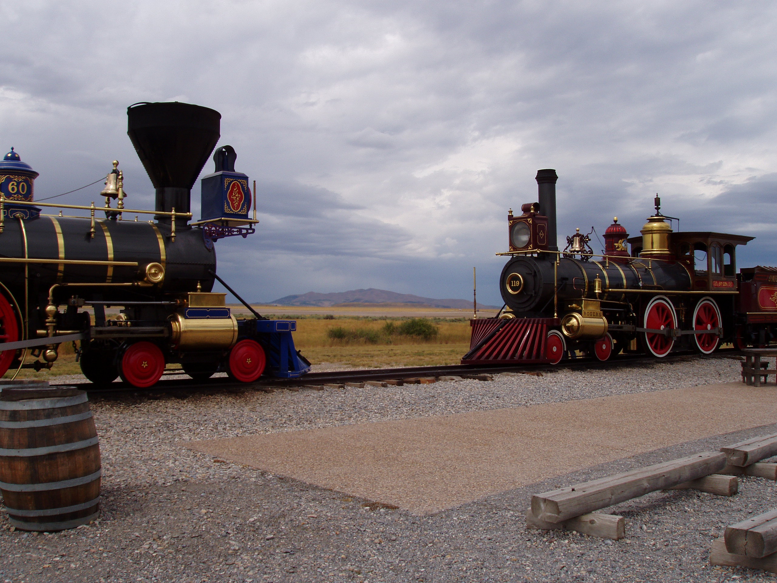
Promontory is an area of high ground in Box Elder County, Utah, United States, 32 mi (51 km) west of Brigham City and 66 mi (106 km) northwest of Salt Lake City. Rising to an elevation of 4,902 feet (1,494 m) above sea level, it lies to the north of the Promontory Mountains and the Great Salt Lake. It is notable as the location of Promontory Summit, where the First transcontinental railroad from Sacramento to Omaha in the United States was officially completed on May 10, 1869. The location is sometimes confused with Promontory Point, a location further south along the southern tip of the Promontory Mountains. Both locations are significant to the Overland Route; Promontory Summit is where the original, abandoned alignment crossed the Promontory Mountains while the modern alignment, called the Lucin Cutoff, crosses the mountains at Promontory Point. By the summer of 1868, the Central Pacific (CP) had completed the first rail route through the Sierra ... [...More Info...] [...Related Items...] OR: [Wikipedia] [Google] [Baidu] |
Southwestern North American Megadrought
The southwestern North American megadrought is an ongoing megadrought in the southwestern region of North America that began in 2000. This megadrought is the driest 22-year period since at least 800 CE. The megadrought has prompted the declaration of a water shortage at Lake Mead, the largest reservoir in the United States. Climate change models project drier conditions in the region through the end of the 21st century, though climate change mitigation may avoid the most extreme impacts. Furthermore, global La Niña meteorological events are generally associated with drier and hotter conditions and further exacerbation of droughts in California and the Southwestern United States and to some extent Southeastern United States. Meteorological scientists have observed that La Niñas have become more frequent over time. Background The southwestern region of North America (SWNA) is defined as the areas between 30 and 40 degrees North and 105 and 125 degrees West, comprising ar ... [...More Info...] [...Related Items...] OR: [Wikipedia] [Google] [Baidu] |
Gabion
A gabion (from Italian ''gabbione'' meaning "big cage"; from Italian ''gabbia'' and Latin ''cavea'' meaning "cage") is a cage, cylinder or box filled with rocks, concrete, or sometimes sand and soil for use in civil engineering, road building, military applications and landscaping. For erosion control, caged riprap is used. For dams or in foundation construction, cylindrical metal structures are used. In a military context, earth- or sand-filled gabions are used to protect sappers, infantry, and artillerymen from enemy fire. Leonardo da Vinci designed a type of gabion called a ''Corbeille Leonard'' ("Leonard basket") for the foundations of the San Marco Castle in Milan. Civil engineering The most common civil engineering use of gabions was refined and patented by Gaetano Maccaferri in the late 19th century in Sacerno, Emilia Romagna and used to stabilize shorelines, stream banks or slopes against erosion. Other uses include retaining walls, noise barriers, temporary flood w ... [...More Info...] [...Related Items...] OR: [Wikipedia] [Google] [Baidu] |
Railroad Car
A railroad car, railcar (American and Canadian English), railway wagon, railway carriage, railway truck, railwagon, railcarriage or railtruck (British English and UIC), also called a train car, train wagon, train carriage or train truck, is a vehicle used for the carrying of cargo or passengers on a rail transport system (a railroad/railway). Such cars, when coupled together and hauled by one or more locomotives, form a train. Alternatively, some passenger cars are self-propelled in which case they may be either single railcars or make up multiple units. The term "car" is commonly used by itself in American English when a rail context is implicit. Indian English sometimes uses "bogie" in the same manner, though the term has other meanings in other variants of English. In American English, "railcar" is a generic term for a railway vehicle; in other countries "railcar" refers specifically to a self-propelled, powered, railway vehicle. Although some cars exist for the railroa ... [...More Info...] [...Related Items...] OR: [Wikipedia] [Google] [Baidu] |
Wasatch Front
The Wasatch Front is a metropolitan region in the north-central part of the U.S. state of Utah. It consists of a chain of contiguous cities and towns stretched along the Wasatch Range from approximately Provo in the south to Logan in the north, and containing the cities of Salt Lake City, Bountiful, Layton, and Ogden. Geography The Wasatch Front is long and narrow. To the east, the Wasatch Mountains rise abruptly several thousand feet above the valley floors, climbing to their highest elevation of at Mount Nebo (bordering southern Utah Valley). The area's western boundary is formed by Utah Lake in Utah County, the Oquirrh Mountains in Salt Lake County, and the Great Salt Lake in northwestern Salt Lake, Davis, Weber, southeastern Box Elder, and Cache counties. Though most residents of the area live between Ogden and Provo (a distance of ), which includes Salt Lake City proper, the fullest built-out extent of the Wasatch Front is long and an average of wide. Along its ... [...More Info...] [...Related Items...] OR: [Wikipedia] [Google] [Baidu] |
Deseret News
The ''Deseret News'' () is the oldest continuously operating publication in the American west. Its multi-platform products feature journalism and commentary across the fields of politics, culture, family life, faith, sports, and entertainment. The ''Deseret News'' is based in Salt Lake City, Utah and is published by Deseret News Publishing Company, a subsidiary of Deseret Management Corporation, which is owned by the Church of Jesus Christ of Latter-day Saints. The publication's name is from the geographic area of Deseret identified by Utah's pioneer settlers, and much of the publication's reporting is rooted in that region. On January 1, 2021, the newspaper switched from a daily to a weekly print format while continuing to publish daily on the website and Deseret News app. As of 2022, ''Deseret News'' develops daily content for its website and apps in addition to weekly print editions of the Deseret News Local Edition and the Church News. Deseret News publishes 10 editions of Des ... [...More Info...] [...Related Items...] OR: [Wikipedia] [Google] [Baidu] |
Boise, Idaho
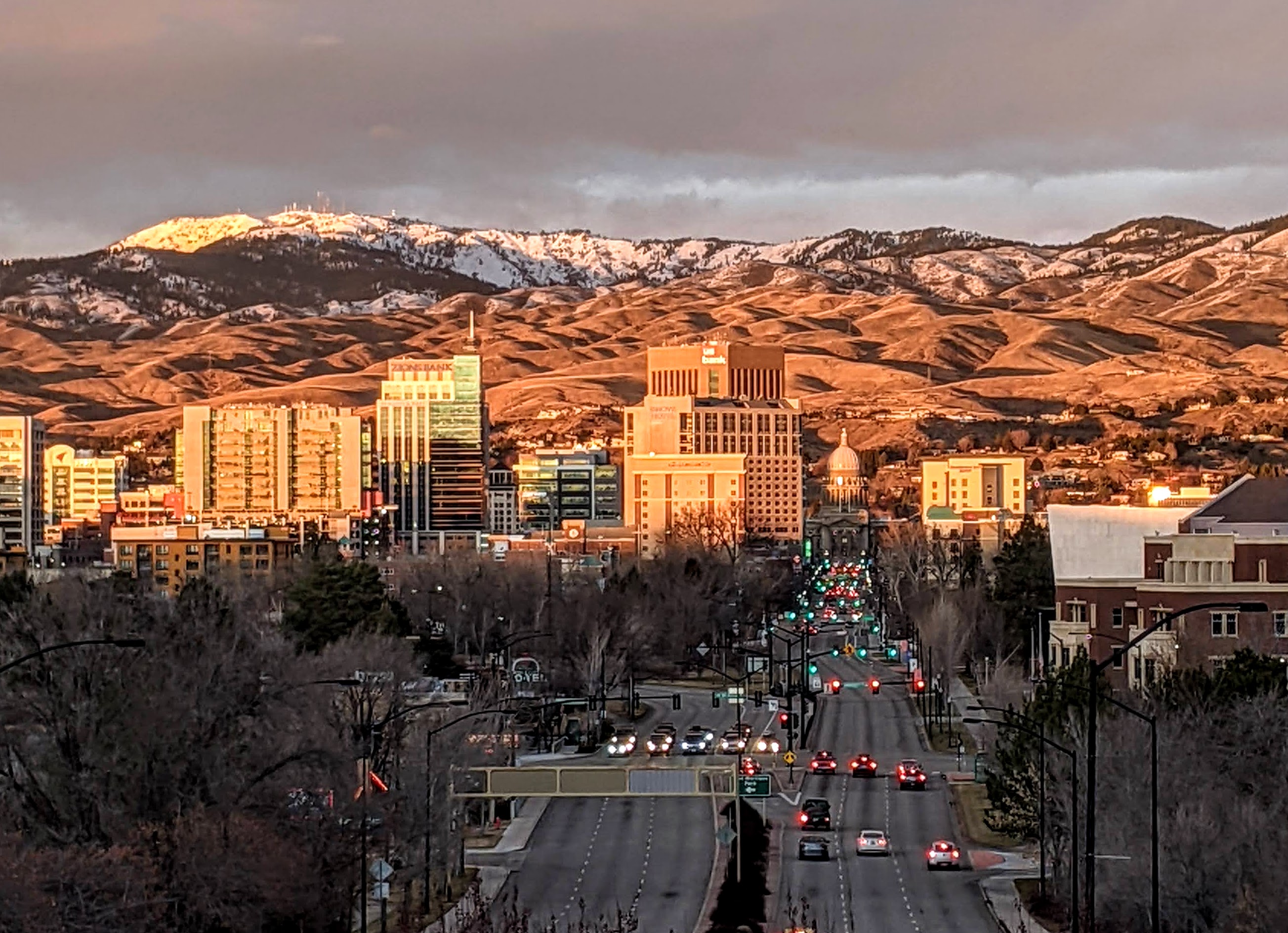
Boise (, , ) is the capital and most populous city of the U.S. state of Idaho and is the county seat of Ada County. On the Boise River in southwestern Idaho, it is east of the Oregon border and north of the Nevada border. The downtown area's elevation is above sea level. The population according to the 2020 US Census was 235,684. The Boise metropolitan area, also known as the Treasure Valley, includes five counties with a combined population of 749,202, the most populous metropolitan area in Idaho. It contains the state's three largest cities: Boise, Nampa, and Meridian. Boise is the 77th most populous metropolitan statistical area in the United States. Downtown Boise is the cultural center and home to many small businesses and a number of high-rise buildings. The area has a variety of shops and restaurants. Centrally, 8th Street contains a pedestrian zone with sidewalk cafes and restaurants. The neighborhood has many local restaurants, bars, and boutiques. The are ... [...More Info...] [...Related Items...] OR: [Wikipedia] [Google] [Baidu] |
Bagley Train Wreck
The Bagley train wreck (also known as the Great Salt Lake wreck) occurred in Utah, United States, on the morning of Sunday December 31, 1944. The crash killed 50 (initially reported as 48), including over 35 military personnel, and injured 81. Pacific Limited The wreck involved Southern Pacific's '' Pacific Limited'' as it crossed the Great Salt Lake on the Lucin Cutoff. It had departed from Chicago at 10 a.m. the prior Friday (Dec 29), bound for San FranciscoAlternate URL, containing republished text /ref> and normally traveled in one long section, but on this occasion it was split into two, with the p ... [...More Info...] [...Related Items...] OR: [Wikipedia] [Google] [Baidu] |
Corinne, Utah
Corinne ( ) is a town in Box Elder County, Utah, United States. The population was 685 at the 2010 census. Geography Corinne is located in southeastern Box Elder County, on the west side of the Bear River. It is the last town on the river before it enters the marsh complexes leading to the Great Salt Lake. Brigham City is to the southeast, and Bear River City is to the north. According to the United States Census Bureau, the city has a total area of , of which is land and , or 1.53%, is water. History For almost ten years from its founding on 25 March 1869, the town of Corinne prospered as the unofficial "Gentile Capital of Utah". As the Union Pacific and Central Pacific railroads approached their historic meeting place at Promontory Summit early in 1869, a group of former Union Army officers and some determined non-Mormon merchants from Salt Lake City decided to locate a Gentile town on the Union Pacific line, believing that the town could compete economically and p ... [...More Info...] [...Related Items...] OR: [Wikipedia] [Google] [Baidu] |


