|
Low-frequency Radar
Low-frequency radar is radar which uses frequencies lower than 1 GHz such as L-band, UHF, VHF, and HF, as opposed to the usual radar bands, which range from 2 GHz to 40 GHz.The radar cross section of any target depends on the frequency transmitted by the radar. Below 900 MHz the target radar cross section increases exponentially, however the increased radar cross section means that there is also much more radar return from undesirable sources, such as cloud cover and rain (''cf.'' weather radar). It is because of this that radars traditionally use much higher frequencies, with an exception being the radars operated in the 3-30 MHz band which are used as over-the-horizon radar stations because signals in that range are able to reflect off the ionosphere. Recent interest has accumulated in developing radars which operate in these low frequencies to help counter the advancement in stealth technology by applying advanced digital signal processing Digital ... [...More Info...] [...Related Items...] OR: [Wikipedia] [Google] [Baidu] |
Radar
Radar is a detection system that uses radio waves to determine the distance (''ranging''), angle, and radial velocity of objects relative to the site. It can be used to detect aircraft, ships, spacecraft, guided missiles, motor vehicles, weather formations, and terrain. A radar system consists of a transmitter producing electromagnetic waves in the radio or microwaves domain, a transmitting antenna, a receiving antenna (often the same antenna is used for transmitting and receiving) and a receiver and processor to determine properties of the objects. Radio waves (pulsed or continuous) from the transmitter reflect off the objects and return to the receiver, giving information about the objects' locations and speeds. Radar was developed secretly for military use by several countries in the period before and during World War II. A key development was the cavity magnetron in the United Kingdom, which allowed the creation of relatively small systems with sub-meter resolution. Th ... [...More Info...] [...Related Items...] OR: [Wikipedia] [Google] [Baidu] |
Radar Cross Section
Radar cross-section (RCS), also called radar signature, is a measure of how detectable an object is by radar. A larger RCS indicates that an object is more easily detected. An object reflects a limited amount of radar energy back to the source. The factors that influence this include: *the material with which the target is made; *the size of the target relative to the wavelength of the illuminating radar signal; *the absolute size of the target; *the incident angle (angle at which the radar beam hits a particular portion of the target, which depends upon the shape of the target and its orientation to the radar source); *the reflected angle (angle at which the reflected beam leaves the part of the target hit; it depends upon incident angle); *the polarization of the transmitted and the received radiation with respect to the orientation of the target. While important in detecting targets, strength of emitter and distance are not factors that affect the calculation of an RCS becaus ... [...More Info...] [...Related Items...] OR: [Wikipedia] [Google] [Baidu] |
Cloud Cover
Cloud cover (also known as cloudiness, cloudage, or cloud amount) refers to the fraction of the sky obscured by clouds on average when observed from a particular location. Okta is the usual unit for measurement of the cloud cover. The cloud cover is correlated to the sunshine duration as the least cloudy locales are the sunniest ones while the cloudiest areas are the least sunny places, as clouds can block sunlight, especially on sunrise and sunset where sunlight is already limited. The global cloud cover averages around 0.68 when analyzing clouds with optical depth larger than 0.1. This value is lower (0.56) when considering clouds with an optical depth larger than 2, and higher when counting subvisible cirrus clouds. Particularly over the oceans cloud cover is persistent with an average 72% of cloud cover. Role in the climate system Clouds play multiple critical roles in the climate system and diurnal cycle. In particular, being bright objects in the visible part o ... [...More Info...] [...Related Items...] OR: [Wikipedia] [Google] [Baidu] |
Rain
Rain is water droplets that have condensed from atmospheric water vapor and then fall under gravity. Rain is a major component of the water cycle and is responsible for depositing most of the fresh water on the Earth. It provides water for hydroelectric power plants, crop irrigation, and suitable conditions for many types of ecosystems. The major cause of rain production is moisture moving along three-dimensional zones of temperature and moisture contrasts known as weather fronts. If enough moisture and upward motion is present, precipitation falls from convective clouds (those with strong upward vertical motion) such as cumulonimbus (thunder clouds) which can organize into narrow rainbands. In mountainous areas, heavy precipitation is possible where upslope flow is maximized within windward sides of the terrain at elevation which forces moist air to condense and fall out as rainfall along the sides of mountains. On the leeward side of mountains, desert climates can exi ... [...More Info...] [...Related Items...] OR: [Wikipedia] [Google] [Baidu] |
Weather Radar
Weather radar, also called weather surveillance radar (WSR) and Doppler weather radar, is a type of radar used to locate precipitation, calculate its motion, and estimate its type (rain, snow, hail etc.). Modern weather radars are mostly pulse-Doppler radars, capable of detecting the motion of rain droplets in addition to the intensity of the precipitation. Both types of data can be analyzed to determine the structure of storms and their potential to cause severe weather. During World War II, radar operators discovered that weather was causing echoes on their screen, masking potential enemy targets. Techniques were developed to filter them, but scientists began to study the phenomenon. Soon after the war, surplus radars were used to detect precipitation. Since then, weather radar has evolved on its own and is now used by national weather services, research departments in universities, and in television stations' weather departments. Raw images are routinely used and speciali ... [...More Info...] [...Related Items...] OR: [Wikipedia] [Google] [Baidu] |
Over-the-horizon Radar
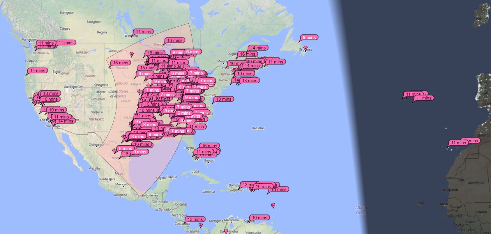
Over-the-horizon radar (OTH), sometimes called beyond the horizon radar (BTH), is a type of radar system with the ability to detect targets at very long ranges, typically hundreds to thousands of kilometres, beyond the radar horizon, which is the distance limit for ordinary radar. Several OTH radar systems were deployed starting in the 1950s and 1960s as part of early warning radar systems, but these have generally been replaced by airborne early warning systems. OTH radars have recently been making a comeback, as the need for accurate long-range tracking becomes less important with the ending of the Cold War, and less-expensive ground-based radars are once again being considered for roles such as maritime reconnaissance and drug enforcement. Technology The frequency of radio waves used by most radars, in the form of microwaves, travel in straight lines. This generally limits the detection range of radar systems to objects on their horizon (generally referred to as "line of sig ... [...More Info...] [...Related Items...] OR: [Wikipedia] [Google] [Baidu] |
Ionospheric Reflection
In radio communication, skywave or skip refers to the propagation of radio waves reflected or refracted back toward Earth from the ionosphere, an electrically charged layer of the upper atmosphere. Since it is not limited by the curvature of the Earth, skywave propagation can be used to communicate beyond the horizon, at intercontinental distances. It is mostly used in the shortwave frequency bands. As a result of skywave propagation, a signal from a distant AM broadcasting station, a shortwave station, or – during sporadic E propagation conditions (principally during the summer months in both hemispheres) a distant VHF FM or TV station – can sometimes be received as clearly as local stations. Most long-distance shortwave (high frequency) radio communication – between 3 and 30 MHz – is a result of skywave propagation. Since the early 1920s amateur radio operators (or "hams"), limited to lower transmitter power than broadcast stations, ha ... [...More Info...] [...Related Items...] OR: [Wikipedia] [Google] [Baidu] |
Ionosphere
The ionosphere () is the ionized part of the upper atmosphere of Earth, from about to above sea level, a region that includes the thermosphere and parts of the mesosphere and exosphere. The ionosphere is ionized by solar radiation. It plays an important role in atmospheric electricity and forms the inner edge of the magnetosphere. It has practical importance because, among other functions, it influences radio propagation to distant places on Earth. History of discovery As early as 1839, the German mathematician and physicist Carl Friedrich Gauss postulated that an electrically conducting region of the atmosphere could account for observed variations of Earth's magnetic field. Sixty years later, Guglielmo Marconi received the first trans-Atlantic radio signal on December 12, 1901, in St. John's, Newfoundland (now in Canada) using a kite-supported antenna for reception. The transmitting station in Poldhu, Cornwall, used a spark-gap transmitter to produce a signal with a freq ... [...More Info...] [...Related Items...] OR: [Wikipedia] [Google] [Baidu] |
Stealth Technology
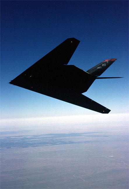
Stealth technology, also termed low observable technology (LO technology), is a sub-discipline of military tactics and passive and active electronic countermeasures, which covers a range of methods used to make personnel, aircraft, ships, submarines, missiles, satellites, and ground vehicles less visible (ideally invisible) to radar, infrared, sonar and other detection methods. It corresponds to military camouflage for these parts of the electromagnetic spectrum (i.e., multi-spectral camouflage). Development of modern stealth technologies in the United States began in 1958, where earlier attempts to prevent radar tracking of its U-2 spy planes during the Cold War by the Soviet Union had been unsuccessful. Designers turned to developing a specific shape for planes that tended to reduce detection by redirecting electromagnetic radiation waves from radars. Radiation-absorbent material was also tested and made to reduce or block radar signals that reflect off the surfaces of air ... [...More Info...] [...Related Items...] OR: [Wikipedia] [Google] [Baidu] |
Digital Signal Processing
Digital signal processing (DSP) is the use of digital processing, such as by computers or more specialized digital signal processors, to perform a wide variety of signal processing operations. The digital signals processed in this manner are a sequence of numbers that represent samples of a continuous variable in a domain such as time, space, or frequency. In digital electronics, a digital signal is represented as a pulse train, which is typically generated by the switching of a transistor. Digital signal processing and analog signal processing are subfields of signal processing. DSP applications include audio and speech processing, sonar, radar and other sensor array processing, spectral density estimation, statistical signal processing, digital image processing, data compression, video coding, audio coding, image compression, signal processing for telecommunications, control systems, biomedical engineering, and seismology, among others. DSP can involve linear or nonli ... [...More Info...] [...Related Items...] OR: [Wikipedia] [Google] [Baidu] |


