|
Louisiana Highway 3127
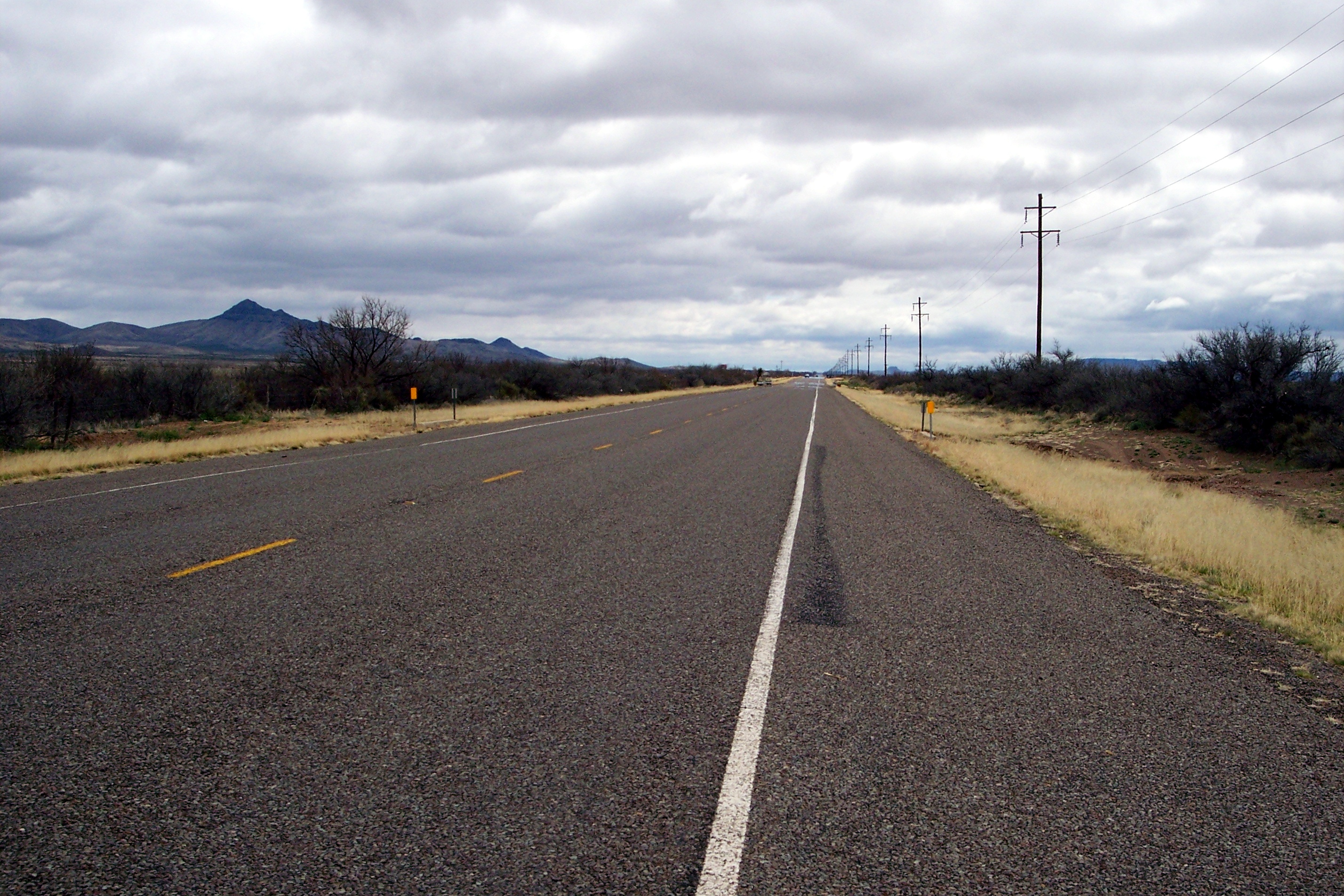
Louisiana Highway 3127 (LA 3127) is a state highway in Louisiana that serves Ascension, St. James, St. John the Baptist, and St. Charles Parishes. It spans in a northwest to southeast direction. It parallels LA 18 along the west bank of the Mississippi River, providing a much shorter inland bypass of the River Road. It is bannered in all four cardinal directions depending upon the part of the route. Route description Throughout its length, LA 3127 was built to eventually accommodate four lanes of traffic, as the land throughout its routing has been cleared for this accommodation. From the northwest, LA 3127 begins at a junction with LA 70 east of Donaldsonville and immediately enters St. James Parish. Undivided, two lanes, and largely secluded for the first several miles, it heads eastward and intersects LA 3219 near the community of St. James. Near Vacherie, it intersects LA 20. Continuing eastward, the route crosses into St. John the Baptist Parish before a ... [...More Info...] [...Related Items...] OR: [Wikipedia] [Google] [Baidu] |
Donaldsonville, Louisiana
Donaldsonville (historically french: Lafourche-des-Chitimachas) is a city in, and the parish seat of Ascension Parish in the U.S. state of Louisiana. Located along the River Road of the west bank of the Mississippi River, it is a part of the Baton Rouge metropolitan statistical area. At the 2020 U.S. census, it had a population of 6,695, down from 7,436 in 2010. Donaldsonville's historic district has what has been described as the finest collection of buildings from the antebellum era to 1933, of any of the Louisiana river towns above New Orleans."10 Best Free Things to Do in Ascension Parish" Union forces attacked the city, occupying it and several of the river parishes beginning in 1862. [...More Info...] [...Related Items...] OR: [Wikipedia] [Google] [Baidu] |
Louisiana Highway 3141
Louisiana , group=pronunciation (French: ''La Louisiane'') is a U.S. state, state in the Deep South and South Central United States, South Central regions of the United States. It is the List of U.S. states and territories by area, 20th-smallest by area and the List of U.S. states and territories by population, 25th most populous of the List of U.S. states, 50 U.S. states. Louisiana is bordered by the state of Texas to the west, Arkansas to the north, Mississippi to the east, and the Gulf of Mexico to the south. A large part of its eastern boundary is demarcated by the Mississippi River. Louisiana is the only U.S. state with political subdivisions termed List of parishes in Louisiana, parishes, which are equivalent to County (United States), counties, making it one of only two U.S. states not subdivided into counties (the other being Alaska and its List of boroughs and census areas in Alaska, boroughs). The state's capital is Baton Rouge, Louisiana, Baton Rouge, and its larges ... [...More Info...] [...Related Items...] OR: [Wikipedia] [Google] [Baidu] |
State Highways In Louisiana
List LA 1 to LA 99 LA 100 to LA 199 LA 300 to LA 399 LA 400 to LA 499 LA 500 to LA 599 LA 600 to LA 699 LA 700 to LA 799 LA 800 to LA 899 ... [...More Info...] [...Related Items...] OR: [Wikipedia] [Google] [Baidu] |
Houma, Louisiana
Houma ( ) is the largest city in, and the parish seat of, Terrebonne Parish in the U.S. state of Louisiana. It is also the largest principal city of the Houma– Bayou Cane–Thibodaux metropolitan statistical area. The city's government was absorbed by the parish in 1984, which currently operates as the Terrebonne Parish Consolidated Government. The population was 33,727 at the 2010 census, an increase of 1,334 over the 2000 census tabulation of 32,393. In 2020, the population estimates program determined 32,467 people lived in the city. At the 2020 census, its population rebounded to 33,406. Many unincorporated areas are adjacent to the city of Houma. The largest, Bayou Cane, is an urbanized area commonly referred to by locals as being part of Houma, but it is not included in the city's census counts, and is a separate census-designated place. If the populations of the urbanized census-designated places were included with that of the city of Houma, the total would ... [...More Info...] [...Related Items...] OR: [Wikipedia] [Google] [Baidu] |
New Orleans, Louisiana
New Orleans ( , ,New Orleans Merriam-Webster. ; french: La Nouvelle-Orléans , es, Nueva Orleans) is a Consolidated city-county, consolidated city-parish located along the Mississippi River in the southeastern region of the U.S. state of Louisiana. With a population of 383,997 according to the 2020 U.S. census, it is the List of municipalities in Louisiana, most populous city in Louisiana and the twelfth-most populous city in the southeastern United States. Serving as a List of ports in the United States, major port, New Orleans is considered an economic and commercial hub for the broader Gulf Coast of the United States, Gulf Coast region of the United States. New Orleans is world-renowned for its Music of New Orleans, distinctive music, Louisiana Creole cuisine, Creole cuisine, New Orleans English, uniq ... [...More Info...] [...Related Items...] OR: [Wikipedia] [Google] [Baidu] |
Gramercy, Louisiana
Gramercy is a town in the U.S. state of Louisiana, in St. James Parish. It is part of the New Orleans Metropolitan Area . The population was 3,613 at the time of the 2010 U.S. census and 3,188 according to the 2020 population estimates program. History Gramercy was originally an American Indian and French settlement and trading post. In 1739, much of the area which is now known as Gramercy was sold to Joseph Delille Dupart, Commissioner of Indian Nations under Jean-Baptiste Le Moyne de Bienville. The town was incorporated in November 1947. A historic sugar mill was established in Gramercy in 1895, which became the Colonial Sugar Refinery in 1902. The National Park Service has designated the site as the Colonial Sugar National Historic District.Colonial Sugar Historic District National Park Service. < ... [...More Info...] [...Related Items...] OR: [Wikipedia] [Google] [Baidu] |
Gramercy Bridge
The Gramercy Bridge (officially the Veterans Memorial Bridge), is a cantilever bridge over the Mississippi River connecting Gramercy, Louisiana in St. James Parish, Louisiana, St. James Parish with St. John the Baptist Parish. It is the second newest Mississippi River bridge in Louisiana (due to the completion of the John James Audubon Bridge (Mississippi River), John James Audubon Bridge), one of many built to replace the ferry system following a 1976 MV George Prince ferry disaster, accident that killed 78 when a ferry with an inebriated pilot and crew sank after being struck by a ship.The Zachary Taylor Parkway] The bridge and its approaches are Louisiana Highway 3213 (LA 3213), which runs 3.79 miles (6.10 km) from Louisiana Highway 18 on the west bank north over the bridge, past an int ... [...More Info...] [...Related Items...] OR: [Wikipedia] [Google] [Baidu] |
Sunshine Bridge
The Sunshine Bridge is a cantilever bridge over the Mississippi River in St. James Parish, Louisiana. Completed in 1963, it carries Louisiana Highway 70 (LA 70), which connects Donaldsonville on the west bank of Ascension Parish with Sorrento on the east bank of Ascension Parish as well as with Gonzales on the east bank of Ascension Parish. The approach roads on the east and west banks begin in Ascension Parish before crossing into St. James Parish. The bridge is a convenient river crossing for residents of Baton Rouge, Hammond, and the Florida Parishes to travel to the Bayou cities of Morgan City, Houma and Thibodaux as well as vice versa. The bridge plays an important role in storm evacuation and in industrial development along the Mississippi. From its opening in 1964 through August 15, 2001, a 50-cent toll was collected on traffic crossing to the west bank. The toll was discontinued by an act of the Louisiana Legislature, authored by Louisiana State Representative ... [...More Info...] [...Related Items...] OR: [Wikipedia] [Google] [Baidu] |
Louisiana Highway 3213
Louisiana , group=pronunciation (French: ''La Louisiane'') is a state in the Deep South and South Central regions of the United States. It is the 20th-smallest by area and the 25th most populous of the 50 U.S. states. Louisiana is bordered by the state of Texas to the west, Arkansas to the north, Mississippi to the east, and the Gulf of Mexico to the south. A large part of its eastern boundary is demarcated by the Mississippi River. Louisiana is the only U.S. state with political subdivisions termed parishes, which are equivalent to counties, making it one of only two U.S. states not subdivided into counties (the other being Alaska and its boroughs). The state's capital is Baton Rouge, and its largest city is New Orleans, with a population of roughly 383,000 people. Some Louisiana urban environments have a multicultural, multilingual heritage, being so strongly influenced by a mixture of 18th century Louisiana French, Dominican Creole, Spanish, French Canadian, Acadian, ... [...More Info...] [...Related Items...] OR: [Wikipedia] [Google] [Baidu] |
Interstate 49
Interstate 49 (I-49) is a north–south Interstate Highway that exists in multiple segments: the original portion entirely within the state of Louisiana with an additional signed portion extending from I-220 in Shreveport to the Arkansas state line, three newer sections in Arkansas, and a new section that opened in Missouri. Its southern terminus is in Lafayette, Louisiana, at I-10 while its northern terminus is in Kansas City, Missouri, at I-435 and I-470. Portions of the remaining roadway in Louisiana, Arkansas, and Texas, which will link Kansas City with New Orleans, are in various stages of planning or construction. Although not part of the original 1957 Interstate Highway plan, residents of Missouri, Arkansas, and Louisiana began campaigning for the highway in 1965 via the "US 71 - I-29 Association". The campaign called for I-29 to be extended south from Kansas City to New Orleans following much of the route along U.S. Route 71 (US 71). The plan called for cr ... [...More Info...] [...Related Items...] OR: [Wikipedia] [Google] [Baidu] |
US 90
U.S. Route 90 or U.S. Highway 90 (US 90) is an east–west major United States highway in the Southern United States. Despite the "0" in its route number, US 90 never was a full coast-to-coast route. With the exception of a short-lived northward extension to US 62/ US 180 near Pine Springs, Texas that existed for less than one year, its western terminus has always been at Van Horn, Texas; this is an intersection with Interstate 10 Business (formerly US 80) just north of an interchange with Interstate 10. Its eastern terminus is at Florida State Road A1A in Jacksonville Beach, Florida, three blocks from the Atlantic Ocean. On August 29, 2005, a number of the highway's bridges in Mississippi and Louisiana were destroyed or damaged due to Hurricane Katrina, including the Bay St. Louis Bridge, the Biloxi Bay Bridge, and the Fort Pike Bridge. US 90 has seven exits on I-10 in the State of Florida. It also includes part of the DeSoto Trail between Tall ... [...More Info...] [...Related Items...] OR: [Wikipedia] [Google] [Baidu] |
Interstate 310 (Louisiana)
Interstate 310 (I-310) is a short spur route of I-10 west of New Orleans, located entirely in St. Charles Parish, Louisiana. It begins at a point on I-10 just west of Louis Armstrong New Orleans International Airport and the city of Kenner. It travels southward as an elevated freeway across the LaBranche Wetlands and intersects U.S. Route 61 (US 61) in St. Rose. The highway crosses the Mississippi River from Destrehan to Luling via the Hale Boggs Memorial Bridge. After a brief concurrency with Louisiana Highway 3127 (LA 3127), I-310 terminates at US 90 in Boutte. Route description I-310's southern terminus is at US 90, where it travels north through flat marshlands. The southernmost mile () was originally built as part of LA 3127, an inland bypass to LA 18, and is cosigned with I-310. North of I-310's first interchange, LA 3127 leaves the Interstate, as I-310 heads towards the Mississippi River. After the next inter ... [...More Info...] [...Related Items...] OR: [Wikipedia] [Google] [Baidu] |


