|
London Lead Company
The London Lead Company was an 18th and 19th century British lead mining company. It was incorporated by royal charter. Strictly, it was The Company for Smelting Down Lead with Pitcoal. Origins The company was chartered in 1692 to investors who intended to acquire the lead-smelting works ( reverberatory furnaces) of Talbot Clerke, the son of Sir Clement Clerke near Bristol. This apparently did not prove a success, and the company returned the works in 1695 to Talbot Clerke (by then Sir Talbot). Another group of entrepreneurs, of whom Dr Edward Wright was a leading member, obtained leases in Cumberland in 1693. This, known as ''Estourt's Copper'' or ''Mines Royal Copper'' was floated as an unincorporated company in 1693. This company, many of whose members were Quakers, is not to be confused with the Society of Mines Royal, which was by then largely moribund. It acquired lead mines in Flintshire from ''Lethicullier's Copper Company'' (another unincorporated venture) in 1695. ... [...More Info...] [...Related Items...] OR: [Wikipedia] [Google] [Baidu] |
Lead Mining
Lead is a chemical element with the symbol Pb (from the Latin ) and atomic number 82. It is a heavy metal that is denser than most common materials. Lead is soft and malleable, and also has a relatively low melting point. When freshly cut, lead is a shiny gray with a hint of blue. It tarnishes to a dull gray color when exposed to air. Lead has the highest atomic number of any stable element and three of its isotopes are endpoints of major nuclear decay chains of heavier elements. Lead is toxic, even in small amounts, especially to children. Lead is a relatively unreactive post-transition metal. Its weak metallic character is illustrated by its amphoteric nature; lead and lead oxides react with acids and bases, and it tends to form covalent bonds. Compounds of lead are usually found in the +2 oxidation state rather than the +4 state common with lighter members of the carbon group. Exceptions are mostly limited to organolead compounds. Like the lighter members of the group, ... [...More Info...] [...Related Items...] OR: [Wikipedia] [Google] [Baidu] |
Teesdale
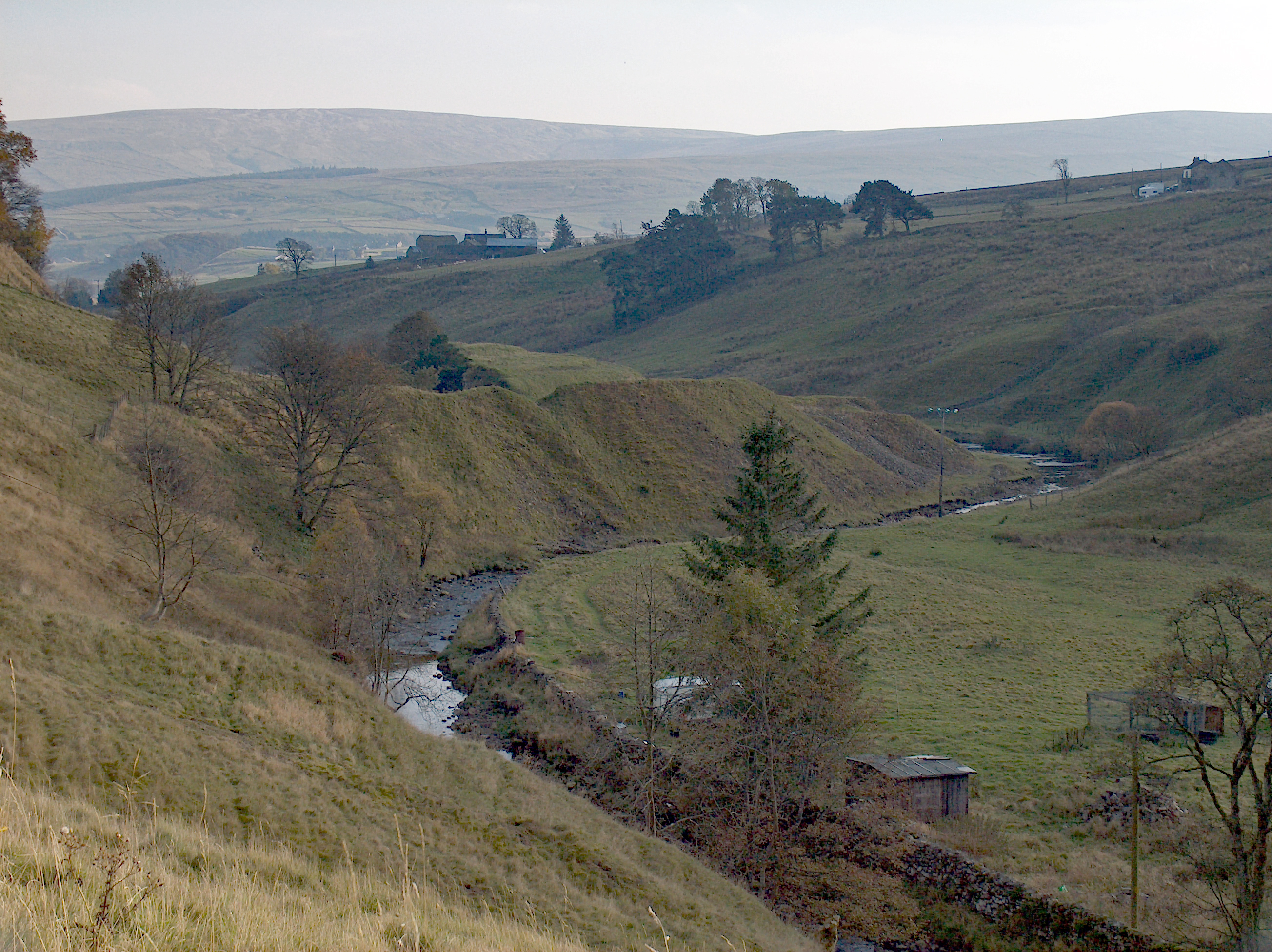
Teesdale is a dale, or valley, in Northern England. The dale is in the River Tees’s drainage basin, most water flows stem from or converge into said river, including the Skerne and Leven. Upper Teesdale, more commonly just Teesdale, falls between the Durham and Yorkshire Dales. Large parts of Upper Teesdale are in the North Pennines AONB (Area of Outstanding Natural Beauty) - the second largest AONB in England and Wales. The River Tees rises below Cross Fell, the highest hill in the Pennines at , and its uppermost valley is remote and high. The local climate was scientifically classified as "Sub-Arctic" and snow has sometimes lain on Cross Fell into June (there is an alpine ski area Yad Moss). Lower Teesdale has mixed urban (Tees Valley or Teesside) and rural (Cleveland) parts. Roseberry Topping is a notable hill on the south eastern side, of which this and other adjoining hills form the northern end of the North York Moors. Newer terms have gained stronger associa ... [...More Info...] [...Related Items...] OR: [Wikipedia] [Google] [Baidu] |
Lead Mining In The United Kingdom
Lead is a chemical element with the symbol Pb (from the Latin ) and atomic number 82. It is a heavy metal that is denser than most common materials. Lead is soft and malleable, and also has a relatively low melting point. When freshly cut, lead is a shiny gray with a hint of blue. It tarnishes to a dull gray color when exposed to air. Lead has the highest atomic number of any stable element and three of its isotopes are endpoints of major nuclear decay chains of heavier elements. Lead is toxic, even in small amounts, especially to children. Lead is a relatively unreactive post-transition metal. Its weak metallic character is illustrated by its amphoteric nature; lead and lead oxides react with acids and bases, and it tends to form covalent bonds. Compounds of lead are usually found in the +2 oxidation state rather than the +4 state common with lighter members of the carbon group. Exceptions are mostly limited to organolead compounds. Like the lighter members of t ... [...More Info...] [...Related Items...] OR: [Wikipedia] [Google] [Baidu] |
Weardale
Weardale is a dale, or valley, on the east side of the Pennines in County Durham, England. Large parts of Weardale fall within the North Pennines Area of Outstanding Natural Beauty (AONB) – the second-largest AONB in England and Wales. The upper dale is surrounded by high fells (up to O.D. at Burnhope Seat) and heather grouse moors. The River Wear flows through Weardale before reaching Bishop Auckland and then Durham, meeting the sea at Sunderland. The Wear Valley local government district covered the upper part of the dale, including Weardale, between 1974 and 2009, when it was abolished on County Durham's becoming a unitary authority. (From 1894 to 1974 there was a Weardale Rural District.) Upper Weardale is in the parliamentary constituency of North West Durham. The dale's principal settlements include St John's Chapel and the towns of Crook, Stanhope and Wolsingham. Local climate Weardale's winters are typically harsh and prolonged with regular snow, ... [...More Info...] [...Related Items...] OR: [Wikipedia] [Google] [Baidu] |
Killhope
Killhope is a small settlement at the very highest end of Weardale Weardale is a dale, or valley, on the east side of the Pennines in County Durham, England. Large parts of Weardale fall within the North Pennines Area of Outstanding Natural Beauty (AONB) – the second-largest AONB in England and Wales ... in County Durham, England. Killhope Pass, the road linking Killhope, County Durham to Nenthead, Cumbria, reaches 627m (2057 feet) above sea level. This makes it the highest paved public A road in the UK. The village is home of the North of England Lead Mining Museum which is based at the old Park Head Mine. References Hamlets in County Durham Stanhope, County Durham {{Durham-geo-stub ... [...More Info...] [...Related Items...] OR: [Wikipedia] [Google] [Baidu] |
Middleton-in-Teesdale
Middleton-in-Teesdale is a market town in County Durham, in England. It is situated on the north side of Teesdale between Eggleston and Newbiggin, a few miles to the north-west of Barnard Castle. The settlement is surrounded by the North Pennines Area of Outstanding Natural Beauty (AONB). Administration Middleton is administered by Durham County Council. It is part of the Bishop Auckland parliamentary constituency in the House of Commons. Prior to Brexit in 2020, it was a part of the North East England constituency for the European Parliament. The local police force is Durham Constabulary. History The small market town in Upper Teesdale expanded in the early 19th century when the London Lead Company moved its northern headquarters there from Blanchland in Northumberland. Much of the architecture from its days as a company town is still clearly visible. This includes Middleton House, formerly the headquarters of the company, the school (which is now an outdoor centre) and so ... [...More Info...] [...Related Items...] OR: [Wikipedia] [Google] [Baidu] |
Eggleston
Eggleston is a village in County Durham, in England. The population of the civil parish taken at the 2011 Census was 448. It is situated in Teesdale, a few miles north-west of Barnard Castle. Etymology The second element of ''Eggleston'' is Old English ''tün'', 'enclosure, estate, settlement'. The first element could be the Cumbric word represented today by Welsh ''eglwys'' 'church'. However, the first element could also be from the Old Norse personal name ''Egill'' or an Anglo-Saxon personal name like ''Ecgwulf'' or ''Ecgel'', in which case the name means 'Ecgel's estate'. Local lore notes the presence of a large stone (near Eggleston Hall) with iron eyelets affixed. The story is that eagles to be used in falconry, while in training, were tied to the stone with long leads. According to local knowledge the stone long ago was known as the Eagle Stone which over the centuries evolved into current place name Eggleston. History The village is first mentioned in tax records o ... [...More Info...] [...Related Items...] OR: [Wikipedia] [Google] [Baidu] |
Newbiggin, Teesdale
Newbiggin is a village in County Durham, in England. Its population at the 2011 census was 146. It is situated on the north side of Teesdale, opposite Holwick. An influx of Derbyshire lead miners into the area in the late 18th century may have brought the name from Biggin. In February 2022 Robert Hooper, a hill farmer from the village, was cleared of charges of dangerous driving and criminal damage, at Durham Crown Court The Crown Court is the court of first instance of England and Wales responsible for hearing all Indictable offence, indictable offences, some Hybrid offence, either way offences and appeals lied to it by the Magistrates' court, magistrates' court ..., after he used a telehandler with forks to lift a car from a lane outside his farm, flip it and push it on its side on to the road outside. References Villages in County Durham {{Durham-geo-stub ... [...More Info...] [...Related Items...] OR: [Wikipedia] [Google] [Baidu] |
Nenthead Mines Smelt Mill - Geograph
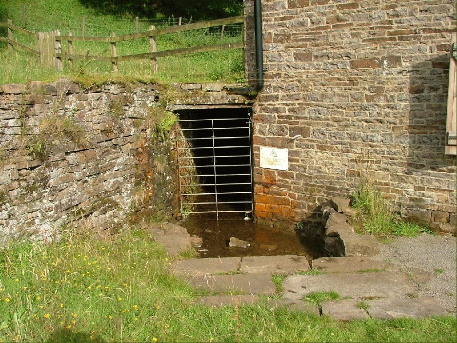
Nenthead ( ) in the county of Cumbria is one of England's highest villages, at around . It was not built until the middle of the 18th century and was one of the earliest purpose-built industrial villages in Britain. History Nenthead was a major centre for lead and silver mining in the North Pennines of Britain. The first smelt mill was built at Nenthead in 1737 by George Liddle, and this was subsequently expanded by the London Lead Company. By 1882 the smelt mill was capable of smelting 8,000 bings, i.e., , of ore per annum. Nenthead village in 1861 had 2,000 people, mostly Methodist and employed by the Quaker-owned London Lead Company in the Nenthead Mines - some of the most productive in the country. The Quakers built housing, a school, a reading room, public baths and a wash-house for the miners and their families. Nenthead has accessible mines remaining, horse whims and a engine shaft in Rampghill. The mines closed in 1961 and there is a heritage centre displaying the ... [...More Info...] [...Related Items...] OR: [Wikipedia] [Google] [Baidu] |
Reverberatory Furnace
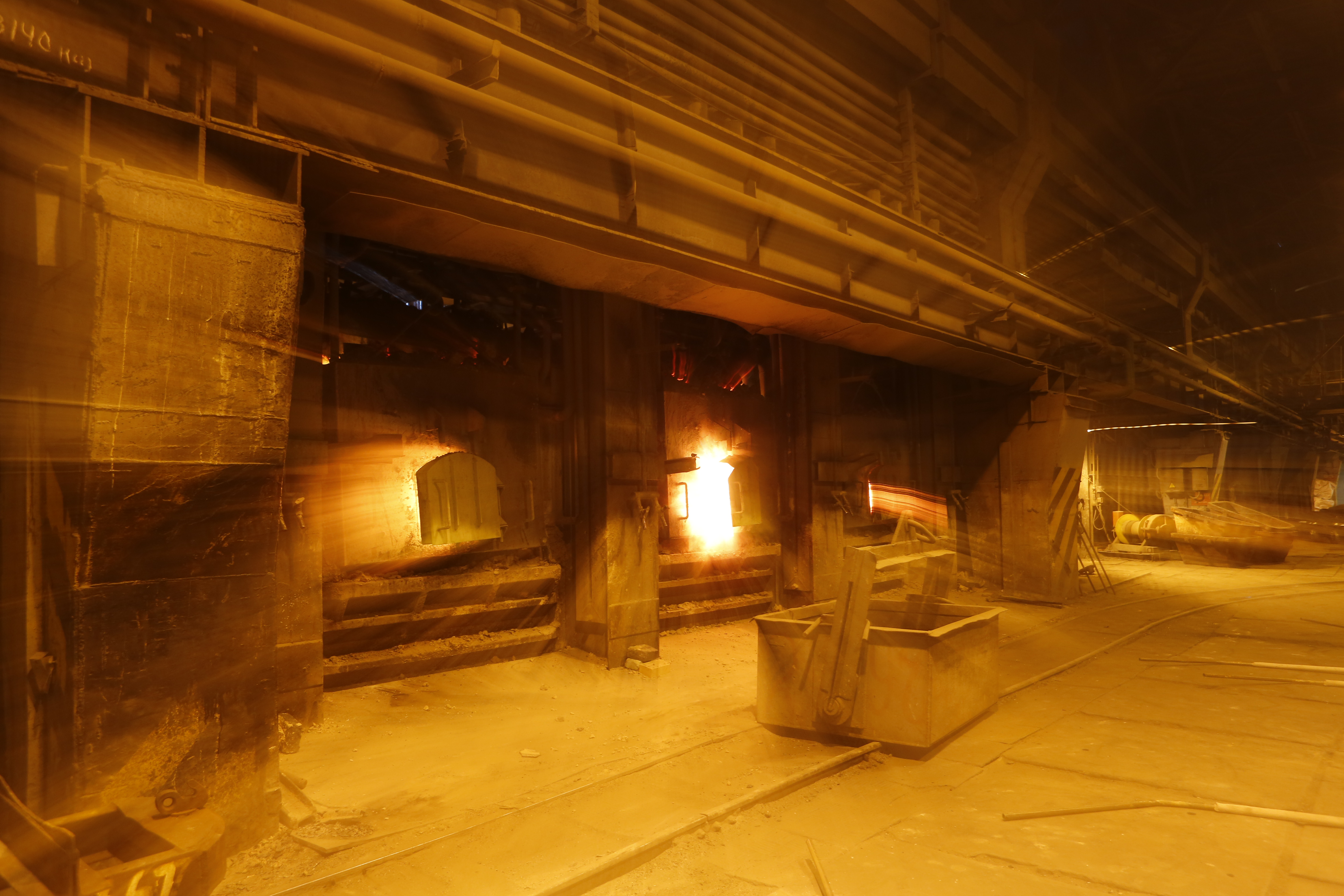
A reverberatory furnace is a metallurgical or process furnace that isolates the material being processed from contact with the fuel, but not from contact with combustion gases. The term ''reverberation'' is used here in a generic sense of ''rebounding'' or '' reflecting'', not in the acoustic sense of ''echoing''. Operation Chemistry determines the optimum relationship between the fuel and the material, among other variables. The reverberatory furnace can be contrasted on the one hand with the blast furnace, in which fuel and material are mixed in a single chamber, and, on the other hand, with crucible, muffling, or retort furnaces, in which the subject material is isolated from the fuel and all of the products of combustion including gases and flying ash. There are, however, a great many furnace designs, and the terminology of metallurgy has not been very consistently defined, so it is difficult to categorically contradict other views. Applications and comparison wit ... [...More Info...] [...Related Items...] OR: [Wikipedia] [Google] [Baidu] |
Alston Moor
Alston Moor, formerly known as Alston with Garrigill, is a civil parish and electoral ward in Cumbria, England, based around the small town of Alston. It is set in the moorlands of the North Pennines, mostly at an altitude of over 1000 feet. The parish/ward had a population of 2,088 at the 2011 census. As well as the town of Alston, the parish includes the villages of Garrigill and Nenthead, along with the hamlets of Nenthall, Nentsberry, Galligill, Blagill, Ashgill, Leadgate, Bayles and Raise. Alston Moor is part of the North Pennines Area of Outstanding Natural Beauty (AONB), the second largest of the 40 AONBs in England and Wales. Under the Local Government Act 1894, the parish, then known as Alston with Garrigill, which had previously been a rural sanitary district on its own, became one of the few single-parish rural districts. This remained in existence until 1974 when it became part of the Eden district. On 18 June 1974 the parish was renamed from "Alston with Gar ... [...More Info...] [...Related Items...] OR: [Wikipedia] [Google] [Baidu] |
Ryton, Tyne And Wear
Ryton is a village in Tyne and Wear, England. It is in the Metropolitan Borough of Gateshead, formerly governed under the county of Durham. In 2011, the population of the Ryton, Crookhill and Stella ward was 8,146. It is west of Newcastle upon Tyne. Location Ryton lies midway between Crawcrook and Blaydon, both in the Metropolitan Borough of Gateshead. Nearby settlements include Stargate, Clara Vale, Greenside, Stella and Hedgefield. Stargate is located on the outskirts of Ryton en route to Blaydon. It has a children's park, a fish shop, a quarry and allotments. In the neighbouring town of Crookhill there is a primary school and a general store, which can also be used as a post office. Ryton is located within Gateshead's Green Belt which mainly contains areas west and southwest of Gateshead Town because the area of South Tyneside to the east is largely urbanised. History Traditionally, Ryton's economy was built upon agriculture and coal mining. Some think that co ... [...More Info...] [...Related Items...] OR: [Wikipedia] [Google] [Baidu] |


