|
London Buses Route 59
London Buses route 59 is a Transport for London contracted bus route in London, England. Running between Streatham Hill and Euston bus station it is operated by Arriva London. History Route 59 was introduced in 1999 in order to replace part of route 109 and also provide a service between Streatham and Euston station. It was and still is contracted to Arriva London. On 10 November 2007 the route was extended from Euston to King's Cross. The move, which was intended to provide a direct link between Waterloo and St Pancras stations, coincided with the relocation of the Eurostar terminal. On 20 December 2013, thirty people were injured when the driver of a route 59 bus swerved to avoid a vehicle and hit a tree in Kennington. Seven people were seriously injured. New Routemasters were introduced on 22 March 2016. The rear platform remains closed at all times except from when the bus is at bus stops. On 29 June 2019, the route was withdrawn from Euston and King's Cross. On 23 ... [...More Info...] [...Related Items...] OR: [Wikipedia] [Google] [Baidu] |
Arriva London
Arriva London is a major bus company operating services in Greater London. It is a subsidiary of Arriva UK Bus and operates services under contract to Transport for London. It was formed in 1998 from a fusion of previously separate Arriva subsidiaries Grey-Green, Leaside Buses, Kentish Bus, London & Country and South London Transport. Operations are split between two registered companies, Arriva London North Limited and Arriva London South Limited. History The origins of Arriva London can be traced back to 1980 when the Cowie Group purchased the Grey-Green coach business in London.The Arriva London Story Arriva London In February 1987, Grey-Green commenced operating bus routes in north and east London under contract to |
Kings Cross, London
Kings Cross is a district on either side of Euston Road, in north London, England, north of Charing Cross. It is bordered by Barnsbury to the north, Clerkenwell and Islington to the east, Holborn to the south and Euston to the west. It is served by two major rail termini, St Pancras and King's Cross. King's Cross station is the terminus of one of the major rail routes between London and the North. The area, which was historically the south-eastern part of the parish and borough of St Pancras, has experienced significant regeneration since the mid-1990s; the introduction of the Eurostar rail service at St Pancras International and the rebuilding of King's Cross station, helped stimulate the redevelopment of the long derelict railway lands to the north of the termini. History Origin The area, historically the south-eastern part of the ancient parish and subsequent Metropolitan Borough of St Pancras, was previously known as Battle Bridge or Battlebridge after an ancien ... [...More Info...] [...Related Items...] OR: [Wikipedia] [Google] [Baidu] |
Russell Square
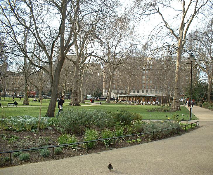
Russell Square is a large garden square in Bloomsbury, in the London Borough of Camden, built predominantly by the firm of James Burton. It is near the University of London's main buildings and the British Museum. Almost exactly square, to the north is Woburn Place and to the south-east is Southampton Row. Russell Square tube station sits to the north-east. It is named after the surname of the Earls and Dukes of Bedford; the freehold remains with the latter's conservation trusts who have agreed public access and management by Camden Council. The gardens are in the mainstream, initial category (of Grade II listing) on the Register of Historic Parks and Gardens. In 2005, two terrorist bombings occurred nearby; one on a tube train between Kings Cross St Pancras and Russell Square, the other on a bus (Route 30, on diversion) outside the HQ of the British Medical Association on Tavistock Square. In condolence and commemoration the public and public institutions laid flowers at both ... [...More Info...] [...Related Items...] OR: [Wikipedia] [Google] [Baidu] |
Holborn Tube Station
Holborn ( ) is a London Underground station in Holborn, Central London, located at the junction of High Holborn and Kingsway. It is served by the Central and Piccadilly lines. On the Central line the station is between Tottenham Court Road and Chancery Lane stations; on the Piccadilly line it is between Covent Garden and Russell Square and is in Travelcard Zone 1. Close by are the British Museum, Lincoln's Inn Fields, Red Lion Square, Bloomsbury Square, London School of Economics and Sir John Soane's Museum. Located at the junction of two earlier tube railway schemes, the station was opened in 1906 by the Great Northern, Piccadilly and Brompton Railway (GNP&BR). The station entrances and below ground circulation were largely reconstructed for the introduction of escalators and the opening of Central line platforms in 1933, making the station the only interchange between the lines. Before 1994, Holborn was the northern terminus of the short and little-frequented Piccadilly ... [...More Info...] [...Related Items...] OR: [Wikipedia] [Google] [Baidu] |
Aldwych
Aldwych (pronounced ) is a street and the name of the List of areas of London, area immediately surrounding it in central London, England, within the City of Westminster. The street starts Points of the compass, east-northeast of Charing Cross, the conventional map centre-point of the city. The street's semi-circular design arises from its function, making navigable the gradient of the fall in levels between the roads connected by the street: the south end of Kingsway, London, Kingsway, and the Strand, London, Strand. It forms part of the A4 road (England), A4 road from London to Avonmouth, Bristol. The Aldwych area forms part of the Northbank business improvement district. It is known for hotels, restaurants, two theatres, the India House, London, High Commissions of India and High Commission of Australia, London, Australia. It gives its name to the now-closed Aldwych tube station, Underground station on the related section of the Strand, London, Strand (the return of the cr ... [...More Info...] [...Related Items...] OR: [Wikipedia] [Google] [Baidu] |
South Bank
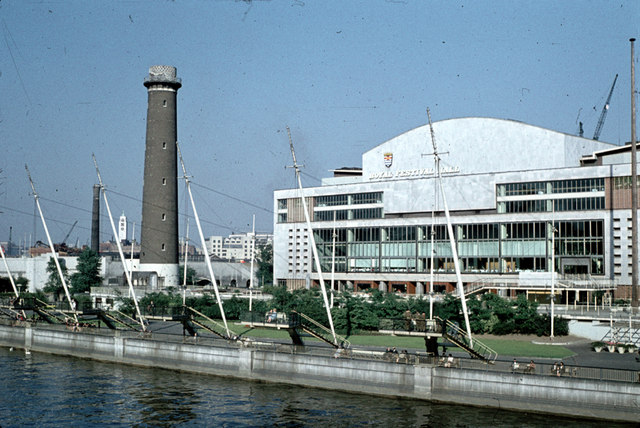
The South Bank is an entertainment and commercial district in central London, next to the River Thames opposite the City of Westminster. It forms a narrow strip of riverside land within the London Borough of Lambeth (where it adjoins Albert Embankment) and the London Borough of Southwark, (where it adjoins Bankside). As such, the South Bank may be regarded as somewhat akin to the riverside part of an area known previously as Lambeth Marsh and North Lambeth. While the South Bank is not formally defined, it is generally understood to bounded by Westminster Bridge and Blackfriars Bridge, and to be centred approximately half a mile (800 metres) south-east of Charing Cross. The name South Bank was first widely used in 1951 during the Festival of Britain. The area's long list of attractions includes the County Hall complex, the Sea Life London Aquarium, the London Dungeon, Jubilee Gardens and the London Eye, the Southbank Centre, Royal Festival Hall, National Theatre, an ... [...More Info...] [...Related Items...] OR: [Wikipedia] [Google] [Baidu] |
London Waterloo Station
Waterloo station (), also known as London Waterloo, is a London station group, central London terminus on the National Rail network in the United Kingdom, in the Waterloo, London, Waterloo area of the London Borough of Lambeth. It is connected to a London Underground Waterloo tube station, station of the same name and is adjacent to Waterloo East station on the South Eastern Main Line. The station is the terminus of the South West Main Line to via Southampton, the West of England main line to Exeter via , the Portsmouth Direct line to which connects with ferry services to the Isle of Wight, and several commuter services around west and south-west London, Surrey, Hampshire and Berkshire. The station was opened in 1848 by the London and South Western Railway, and it replaced the earlier as it was closer to the West End of London, West End. It was never designed to be a terminus, as the original intention was to continue the line towards the City of London, and consequently t ... [...More Info...] [...Related Items...] OR: [Wikipedia] [Google] [Baidu] |
Lambeth North Tube Station
Lambeth North is a London Underground station in the district of Lambeth, at the junction of Westminster Bridge Road and Baylis Road. It is on the Bakerloo line, between Elephant & Castle and Waterloo, and is in Travelcard Zone 1. It is located at 110 Westminster Bridge Road, and is the nearest tube station to the Imperial War Museum. As of 2017 it is the least-used Underground station in Zone 1. History Designed by Leslie Green, the station was opened by the Baker Street & Waterloo Railway on 10 March 1906, with the name ''Kennington Road''. It served as the temporary southern terminus of the line until 5 August 1906, when Elephant & Castle station was opened. The station's name was changed to ''Westminster Bridge Road'' in July 1906 and it was again renamed, to Lambeth North, in April 1917. At 03:56 on 16 January 1941, a German "Satan" 1800 kg general-purpose bomb hit a hostel at nearby 92 Westminster Bridge Road. The shock wave severely damaged the southbound platform t ... [...More Info...] [...Related Items...] OR: [Wikipedia] [Google] [Baidu] |
Oval Tube Station
Oval is a London Underground station in the London Borough of Lambeth. It is on the Northern line between Kennington and Stockwell stations and is in Travelcard Zone 2. It opened on 18 December 1890 as part of the City and South London Railway and is named after The Oval cricket ground, which it serves. Location The station is located at the junction of Kennington Park Road (heading north-east), Camberwell New Road (south-east), Clapham Road (south west) and Harleyford Street (north west) and is about 500 yards from The Oval cricket ground. Also close by are Kennington Park and the imposing St Mark's Church. History The City and South London Railway opened to passengers between Stockwell and King William Street on 18 December 1890, and was both the first standard gauge tube and the first railway to employ electric traction in London. To avoid disturbance of surface buildings the construction of the tube was shield-driven at deep level, and much of the work was done via ... [...More Info...] [...Related Items...] OR: [Wikipedia] [Google] [Baidu] |
Brixton Tube Station
Brixton is a London Underground station on Brixton Road in Brixton in the London Borough of Lambeth, South London. The station is the southern terminus of the Victoria line. The station is known to have the largest London Underground roundel on the network. The next station is Stockwell. History The City and Brixton Railway had planned to link Brixton with Central London by underground railway in 1897 but was unable to raise funds for construction. Brixton station on the Victoria line was opened on 23 July 1971 by the London Transport Executive. It has high usage for an inner suburban station with 33.46 million entries and exits during 2016 making it the 19th busiest station by this measure. Design From the ticket hall, three escalators take passengers to and from the platforms. There are also passenger lifts between street level, the ticket hall and the platforms to provide step free access. The station is laid out as a two-track terminus with a scissors crossover north of ... [...More Info...] [...Related Items...] OR: [Wikipedia] [Google] [Baidu] |
St Paul's Tube Station
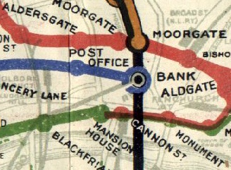
St Paul's is a London Underground station located in the City of London financial district. The station, which takes its name from the nearby St Paul's Cathedral, is on the Central line, between Bank and Chancery Lane stations, and is in fare zone 1. It should not be confused with City Thameslink railway station which opened in 1990 with the name St. Paul's Thameslink, but is some distance from the Underground station. That station was subsequently renamed City Thameslink to avoid confusion for the emergency services, but for some years afterwards many maps and guidebooks in circulation continued to carry the earlier name. History The station was opened by the Central London Railway (CLR) on 30 July 1900 with the name Post Office, after the headquarters of the General Post Office on nearby St. Martin's Le Grand. The name Post Office was possibly chosen instead of the more obvious St. Paul's to differentiate it from a South Eastern Railway (SER) station which already ... [...More Info...] [...Related Items...] OR: [Wikipedia] [Google] [Baidu] |
St Bartholomew's Hospital
St Bartholomew's Hospital, commonly known as Barts, is a teaching hospital located in the City of London. It was founded in 1123 and is currently run by Barts Health NHS Trust. History Early history Barts was founded in 1123 by Rahere (died 1144, and entombed in the nearby Priory Church of St Bartholomew the Great), a favourite courtier of King Henry I. The dissolution of the monasteries did not affect the running of Barts as a hospital, but left it in a precarious position by removing its income. It was refounded by King Henry VIII in December 1546, on the signing of an agreement granting the hospital to the Corporation of London.''St Bartholomew's Hospital'' ''Old and New London'': Volume 2 (1878), pp. 359–363. Retrieved 30 January 2009 The hospital became legally styled as the "House of the Poore ... [...More Info...] [...Related Items...] OR: [Wikipedia] [Google] [Baidu] |


