|
Loganlea
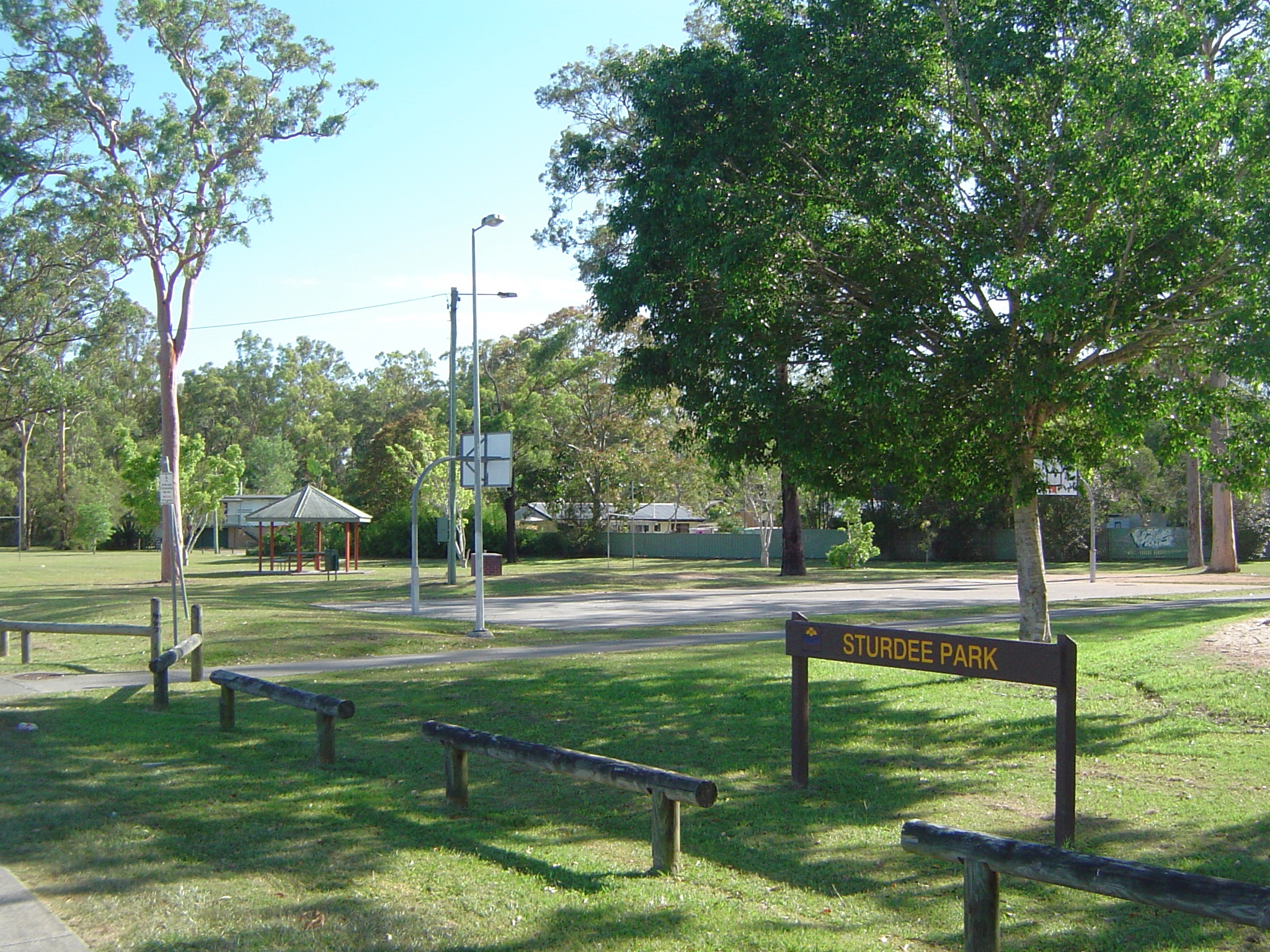
Loganlea is a suburb in the City of Logan, Queensland, Australia. In the , Loganlea had a population of 7,321 people. Geography The eastern boundary of Loganlea is marked by a winding section of the Logan River. The north of the suburb is aligned with the Beenleigh railway line. The western boundary follows part of both Scrubby Creek and Kingston Road. The Logan Motorway crosses the northern tip of Loganlea where access is provided via Kingston Road. Loganlea is one of three toll points on the road. Loganlea railway station serves the suburb (). Loganlea State High School was built in the north-east close to the railway line. A police beat is located on the corner of Haig Road and Station Street. Towards the centre of the suburb is a small retail zone which includes a child-care centre. The Logan Artists Association art gallery and studio opened in 2012 and is located in Coral Street. In the east along Logan River the land is prone to flooding. Flooding is experienc ... [...More Info...] [...Related Items...] OR: [Wikipedia] [Google] [Baidu] |
Loganlea Railway Station
Loganlea railway station is located on the Beenleigh line in Queensland, Australia. It serves the suburbs of Loganlea and Meadowbrook in Logan City. The station opened in 1885 at the same time as the line. On 21 April 1992, a second platform opened as part of the duplication of the line. It is within a short distance of the Logan Hospital, TAFE college, Griffith University Logan campus, Loganlea State High School and Woolworths supermarket. History In the past it was used to load freight for the distribution of timber and local produce. It once had a goods shed. The station was severely damaged by a cyclone in 1936. For some time trains of eight or nine carriages had stopping at Loganlea when its platform length could only cover two or three carriages. In December 2019, the Queensland government announced the station would be moved to a new location to the east, adjacent to Logan Hospital. Services Loganlea is served by all stops Beenleigh line services from Beenleigh t ... [...More Info...] [...Related Items...] OR: [Wikipedia] [Google] [Baidu] |
Logan Motorway
The M2/M6 Logan Motorway is a 30-kilometre toll road between Ipswich and the M1 or Pacific Motorway at Loganholme, and the Gateway Motorway, providing access to the Gold Coast on the eastern seaboard and to the rural areas of the Darling Downs to the west. The M6 portion runs from the Pacific Motorway to the junction with the Gateway Motorway at Drewvale, where it then becomes the M2, continuing on to merge with the Ipswich Motorway at Gailes. The road is operated and owned by Transurban Queensland. Most of this road was formally Metroad 4 prior to the Gateway Motorway extension in 1997. History The Logan Motorway Act of 1987 permitted a franchise period of 30 years from completion of construction. The original owner was the Logan Motorway Company Ltd, later a company of Queensland Motorways. Russell Hinze attended a ceremony at Loganlea for the turning of the first sod in the construction of the Logan Motorway in October 1987. It originally opened as a two-lane motorw ... [...More Info...] [...Related Items...] OR: [Wikipedia] [Google] [Baidu] |
Meadowbrook, Queensland
Meadowbrook is a mixed-use suburb in the City of Logan, Queensland, Australia. In the , Meadowbrook had a population of 3,113 people. The Logan Hospital and a TAFE college are located in the suburb. Geography The northern and eastern border of the suburb follow Logan River and part of its tributary Slacks Creek.The Gold Coast railway line marks the southern boundary. The Loganlea Golf Course and Logan campus of Griffith University are located in Meadowbrook. Most of the golf course is within a defined flood zone as is Lake Elleslie at the entrance to the university. Logan Hospital is located in Armstrong Road (). There is also an industrial area in the west of Meadowbrook and a large section of housing surround the hospital and adjacent TAFE college. Meadowbrook is home to Riverdale Park, a former grazing property. Waterways of Slacks Creek dominate the northern sections of Meadowbrook with suburban arterial Loganlea Road heading towards the Pacific Motorway and Slacks C ... [...More Info...] [...Related Items...] OR: [Wikipedia] [Google] [Baidu] |
Logan City Council
Logan City is a local government area situated within the south of the Brisbane metropolitan area in South East Queensland, Australia. Situated between the City of Brisbane to the north and the City of Gold Coast to the south, the City also borders the Scenic Rim Region, the City of Ipswich, and Redland City LGAs. Logan City is divided into 70 suburbs and 12 divisions; a councillor is elected to each of the latter. The area had a population of 326,615 in June 2018. Gaining significant area in 2008 from the amalgamation of parts of the Albert and Beaudesert Shires, Logan City extends north to Priestdale, south to Mundoolun near the Albert River, east to Carbrook at the Logan River, and west to Lyons. Logan City is located across parts of the sub-basin of Oxley Creek, and the Logan and Albert Rivers. The Daisy Hill Koala Centre serves as an example of Logan's prominent bushland, reminiscent of Karawatha Forest, and the Tamborine and Venman Bushland National Parks, that bo ... [...More Info...] [...Related Items...] OR: [Wikipedia] [Google] [Baidu] |
City Of Logan
Logan City is a local government area situated within the south of the Brisbane metropolitan area in South East Queensland, Australia. Situated between the City of Brisbane to the north and the City of Gold Coast to the south, the City also borders the Scenic Rim Region, the City of Ipswich, and Redland City LGAs. Logan City is divided into 70 suburbs and 12 divisions; a councillor is elected to each of the latter. The area had a population of 326,615 in June 2018. Gaining significant area in 2008 from the amalgamation of parts of the Albert and Beaudesert Shires, Logan City extends north to Priestdale, south to Mundoolun near the Albert River, east to Carbrook at the Logan River, and west to Lyons. Logan City is located across parts of the sub-basin of Oxley Creek, and the Logan and Albert Rivers. The Daisy Hill Koala Centre serves as an example of Logan's prominent bushland, reminiscent of Karawatha Forest, and the Tamborine and Venman Bushland National Parks, that bo ... [...More Info...] [...Related Items...] OR: [Wikipedia] [Google] [Baidu] |
Waterford, Queensland
Waterford is a town and suburb in the City of Logan, Queensland, Australia. In the , the suburb of Waterford had a population of 5,484 people. Geography The western side of the suburb follows the Logan River while the southern edge draws a straight line along Dairy Creek Road. Here it connects to Gardiner Road which then joins Logan River Road. Waterford-Tamborine Road (State Route 95) starts in the north of Waterford and exits to the south. History The town is believed to be named by Irish settlers after Waterford in Ireland because of a ford in the Logan River. The name was recorded by surveyor William Fryar on 11 June 1866. The first town lots were offered for sale in the Town of Waterford in July 1866. Logan Provisional School opened on 28 June 1869 in Charles Wilson's barn on the east of the Logan River with an initial enrolment of 22 students. On 3 January 1871, the school moved to a new site with a purpose-built school building, then known as Waterford Primary Sc ... [...More Info...] [...Related Items...] OR: [Wikipedia] [Google] [Baidu] |
Waterford West, Queensland
Waterford West is a suburb in the City of Logan, Queensland, Australia. In the , Waterford West had a population of 6,431 people. Geography The eastern boundary and part of the southern boundary follow the course of the Logan River. The suburb is home to Marsden State High School in the west. It has a shopping centre called Waterford Plaza close to a road bridge across the Logan. Around this area the main roads, Kingston Road and Loganlea Road intersect. The area currently has some retail development as well as historical significance to Logan City. The centre adjoins a large lagoon known as Tygum Lagoon. History In April 1885, several portions of subdivided land in an area known as Waterford North and South were advertised for auction by John Cameron. A map advertising the land shows the location of the subdivisions in proximity to the Upper Logan railway line and Tweed railway line and the Logan River. The land was owned by Henry Jordan and a supplement advertising the ... [...More Info...] [...Related Items...] OR: [Wikipedia] [Google] [Baidu] |
Kingston, Queensland
Kingston is a town and suburb in the City of Logan, Queensland, Australia. In the , Kingston had a population of 10,539 people. Geography Kingston is a predominantly residential suburb, with a low mix of industrial, commercial and retail areas. The suburb is bounded in the south by Scrubby Creek, a tributary of the Logan River. It is the home of the Kingston Butter Factory. Kingston was also the site of an environmental disaster similar to Love Canal in Niagara Falls in the United States. History The township was named Kingston in 1890 Charles and Harriet Kingston, who were residents of the district in the late nineteenth century. Like a number of other Logan City suburbs Kingston was once part of the Shire of Tingalpa. Dairying grew in importance in the area from the 1890s and in 1906 a meeting was held in Beenleigh to form a co-operative butter factory locally. The Southern Queensland Co-operative Dairy Company opened its factory in Kingston in June 1907. A piggery was e ... [...More Info...] [...Related Items...] OR: [Wikipedia] [Google] [Baidu] |
Bethania, Queensland
Bethania is a suburb in the City of Logan, Queensland, Australia. In the , Bethania had a population of 5,385 people. Geography Bethania lies south of the Logan River. The lower lying areas near the river occasionally suffer floods. Bethania is situated on the main Beenleigh railway line and the suburb is served by Bethania railway station (). Beaudesert railway line branches from the South Coast railway line just south of the Bethania railway station at () and runs to Beaudesert. It has been out of commission since August 2004. History Bethania was founded by Germans during the 1860s and is home to many different nationalities. By 1866 a small township had developed. It is believed the name is derived from Bethany, the biblical village in Israel. A Lutheran church was built in 1864 made from slabs on what is now the railway line. A cemetery was established beside the church with graves from 1866. In 1872 the present church was built close to the first church (). The ... [...More Info...] [...Related Items...] OR: [Wikipedia] [Google] [Baidu] |
Logan Hospital
Logan Hospital is the major health centre servicing the Logan region in the state of Queensland and provides a range of speciality services for children and adults. Located at the corner of Armstrong and Loganlea Roads in Meadowbrook, Queensland, Australia. It provides acute medical, surgical, rehabilitation, and maternity services for children and adults. As of 2018, the emergency department is the second busiest in Queensland, seeing more than 88,000 presentations each year. Logan Hospital serves patients who are generally younger, have culturally or linguistically diverse backgrounds, and have an income below the national median. Logan Hospital has grown from a 48-bed community hospital in 1990 to a 448-bed hospital today, mirroring the rapid growth in population in the Logan region. Logan Hospital provides true general medical experience for nursing, medical and allied health trainees and graduates with exposure to a wide spectrum of medical conditions. The new rehabilit ... [...More Info...] [...Related Items...] OR: [Wikipedia] [Google] [Baidu] |
Logan River
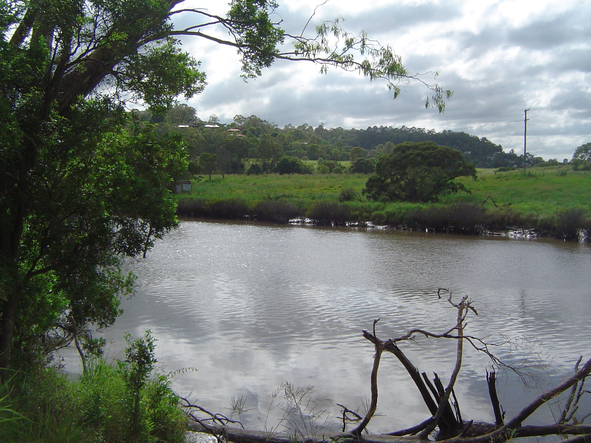
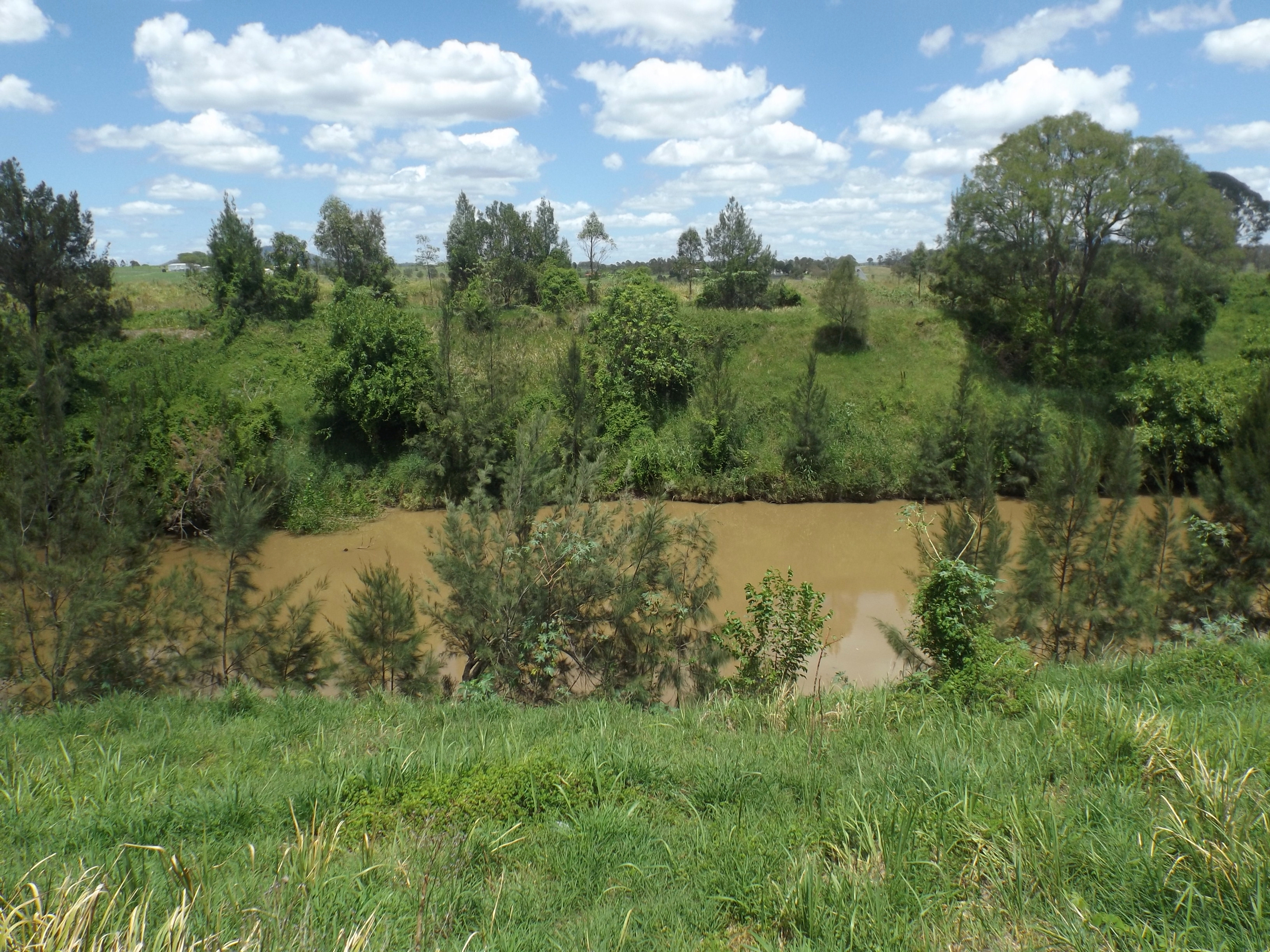
The Logan River ( Yugambeh: ''Dugulumba'') is a perennial river located in the Scenic Rim, Logan and Gold Coast local government areas of the South East region of Queensland, Australia. The -long river is one of the dominant waterways in South East Queensland that drains the southern ranges of the Scenic Rim and empties into Moreton Bay after navigating the City of Logan, a major suburban centre located south of Brisbane. The catchment is dominated by urban and agricultural land use. Near the river mouth are mangrove forests and a number of aquaculture farms. Course and features The river rises below Mount Ernest on the southern slopes of the Scenic Rim, part of the Great Dividing Range and forms in the Mount Barney National Park, near the QueenslandNew South Wales border, below Mount Lindesay. The river flows generally north by northeast, joined by eleven minor tributaries, before heading east and eventually emptying into Moreton Bay. Its principal tributaries are the Alb ... [...More Info...] [...Related Items...] OR: [Wikipedia] [Google] [Baidu] |
Beenleigh Railway Line
The Beenleigh railway line is a suburban railway line extending east-southeast from Brisbane Central railway station, the state capital of Queensland, Australia. It is part of the Queensland Rail City network. History Originally known as the Logan railway line, the line opened to Loganlea in April 1885 being the first section of the South Coast line which was opened beyond Beenleigh to Southport in 1889. The original city terminus of the line was Stanley St, South Brisbane until a dual track line was constructed from Dutton Park to South Brisbane opposite the Victoria Bridge opening in 1891. The railway originally approximately paralleled Fairfield Road between Dutton Park and Yeronga. Following the 1893 Brisbane flood, the Fairfield Deviation realigned the route above the flood level onto the current alignment. The line from Dutton Park to Yeerongpilly was duplicated at the same time. The standard gauge line from Sydney, NSW which opened in 1930 was built parallel to ... [...More Info...] [...Related Items...] OR: [Wikipedia] [Google] [Baidu] |


.jpg)