|
Loch Seaforth
Loch Seaforth ( gd, Loch Shiphoirt or Shìophoirt) is a sea loch in the Outer Hebrides of Scotland. It consists of three distinct sections; the most seaward is aligned northwest–southeast, a middle section is aligned northeast–southwest and the inner and most northerly section is aligned east–west. The southern stretch of the loch seaward from Bowglass forms the boundary between Lewis and Harris and was until 1975 the boundary between the traditional counties of Ross and Cromarty and Inverness-shire. The settlement of Rhenigidale lies near the mouth of the loch whilst the settlement of Maaruig lies on Loch Maraig, an embayment on the western side of Loch Seaforth. Further settlement is found around the small bays at Ardvourlie opposite Seaforth Island which sits in the midst of the loch at the point where inland it turns towards the northeast. The crofting township of Arivruaich lies beside a further embayment known as Tob Cheann Tarabhaigh. The head of the loch is to be ... [...More Info...] [...Related Items...] OR: [Wikipedia] [Google] [Baidu] |
Loch Seaforth - Geograph
''Loch'' () is the Scottish Gaelic, Scots and Irish word for a lake or sea inlet. It is cognate with the Manx lough, Cornish logh, and one of the Welsh words for lake, llwch. In English English and Hiberno-English, the anglicised spelling lough is commonly found in place names; in Lowland Scots and Scottish English, the spelling "loch" is always used. Many loughs are connected to stories of lake-bursts, signifying their mythical origin. Sea-inlet lochs are often called sea lochs or sea loughs. Some such bodies of water could also be called firths, fjords, estuaries, straits or bays. Background This name for a body of water is Insular CelticThe current form has currency in the following languages: Scottish Gaelic, Irish, Manx, and has been borrowed into Lowland Scots, Scottish English, Irish English and Standard English. in origin and is applied to most lakes in Scotland and to many sea inlets in the west and north of Scotland. The word comes from Proto-Indo-European ... [...More Info...] [...Related Items...] OR: [Wikipedia] [Google] [Baidu] |
David MacBrayne Ltd
David MacBrayne is a limited company owned by the Scottish Government. Formed in 1851 as the private shipping company David Hutcheson & Co. with three partners, David Hutcheson, Alexander Hutcheson and David MacBrayne, it passed in 1878 to David MacBrayne. It became the main carrier for freight and passengers in the Hebrides, with a co-ordinated network of shipping, road haulage and bus operations. In 1973, it was merged with Caledonian Steam Packet Company as state-owned Caledonian MacBrayne. Since 2006 it has been the holding company for ferry operators CalMac Ferries Ltd (operating as Caledonian MacBrayne) and Argyll Ferries, and is classified as an executive non-departmental public body of the Scottish Government. Formation In 1851, Burns Brothers, G. and J. Burns of Glasgow, passed their fleet of Hebridean vessels to their chief clerk, David Hutcheson. David Hutcheson was married to Margaret Dawson, who was born at her parents home 'Bonnytoun House' in Linlithgow. She wa ... [...More Info...] [...Related Items...] OR: [Wikipedia] [Google] [Baidu] |
Sea Lochs Of Scotland
The sea, connected as the world ocean or simply the ocean, is the body of salty water that covers approximately 71% of the Earth's surface. The word sea is also used to denote second-order sections of the sea, such as the Mediterranean Sea, as well as certain large, entirely landlocked, saltwater lakes, such as the Caspian Sea. The sea moderates Earth's climate and has important roles in the water, carbon, and nitrogen cycles. Humans harnessing and studying the sea have been recorded since ancient times, and evidenced well into prehistory, while its modern scientific study is called oceanography. The most abundant solid dissolved in seawater is sodium chloride. The water also contains salts of magnesium, calcium, potassium, and mercury, amongst many other elements, some in minute concentrations. Salinity varies widely, being lower near the surface and the mouths of large rivers and higher in the depths of the ocean; however, the relative proportions of dissolved salts vary ... [...More Info...] [...Related Items...] OR: [Wikipedia] [Google] [Baidu] |
Stornoway
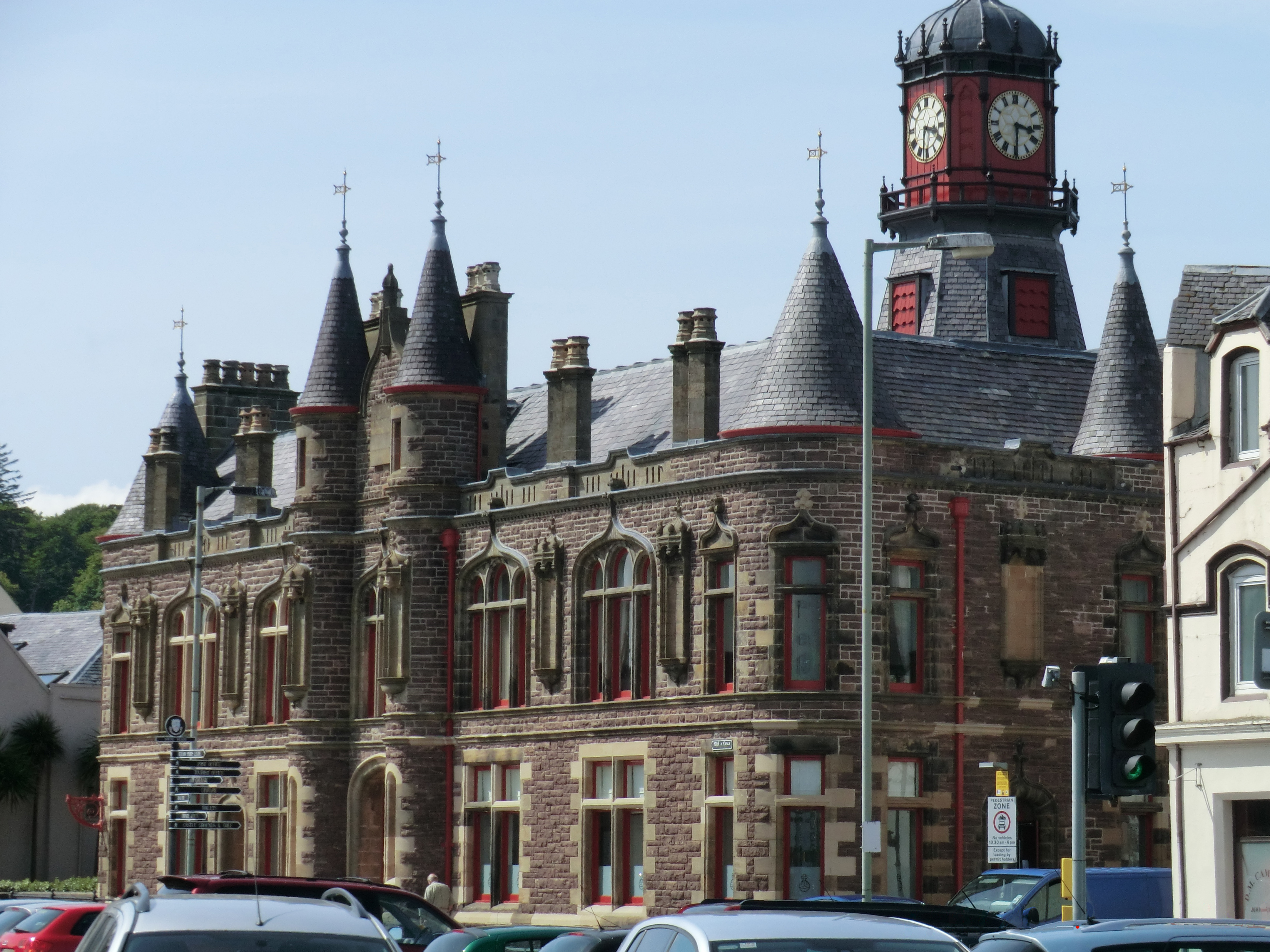
Stornoway (; gd, Steòrnabhagh; sco, Stornowa) is the main town of the Western Isles and the capital of Lewis and Harris in Scotland. The town's population is around 6,953, making it by far the largest town in the Outer Hebrides, as well as the third largest island town in Scotland after Kirkwall in Orkney and Lerwick in Shetland. The traditional civil parish of Stornoway, which includes various nearby villages, has a combined population of just over 10,000. The Comhairle nan Eilean Siar measures population in a different area: the ''Stornoway settlement'' area, Laxdale, Sandwick and Newmarket; in 2019, the estimated population for this area was 6,953. Stornoway is an important port and the major town and administrative centre of the Outer Hebrides. It is home to '' Comhairle nan Eilean Siar'' (the Western Isles Council) and a variety of educational, sporting and media establishments. Until relatively recently, observance of the Christian Sabbath (Sunday) has been a ... [...More Info...] [...Related Items...] OR: [Wikipedia] [Google] [Baidu] |
Ullapool
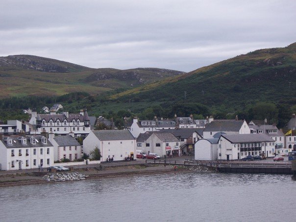
Ullapool (; gd, Ulapul ) is a village and port located in Northern Scotland. Ullapool has a population of around 1,500 inhabitants. It is located around northwest of Inverness in Ross and Cromarty, Scottish Highlands. Despite its modest size, it is the largest settlement for many miles around, and an important port and tourist destination. The North Atlantic Drift passes Ullapool, moderating the temperature. A few '' Cordyline australis'' (New Zealand cabbage trees) are grown in the town and are often mistaken for palm trees. The town lies on Loch Broom, on the A835 road from Inverness. The Ullapool River flows through the village. History On the east shore of Loch Broom, Ullapool was founded in 1788 as a herring port by the British Fisheries Society. It was designed by Thomas Telford. Prior to 1788 the town was only an insignificant hamlet made up of just over 20 households. The harbour is used as a fishing port, yachting haven, and ferry port. Ferries sail to Stornoway i ... [...More Info...] [...Related Items...] OR: [Wikipedia] [Google] [Baidu] |
Caledonian MacBrayne
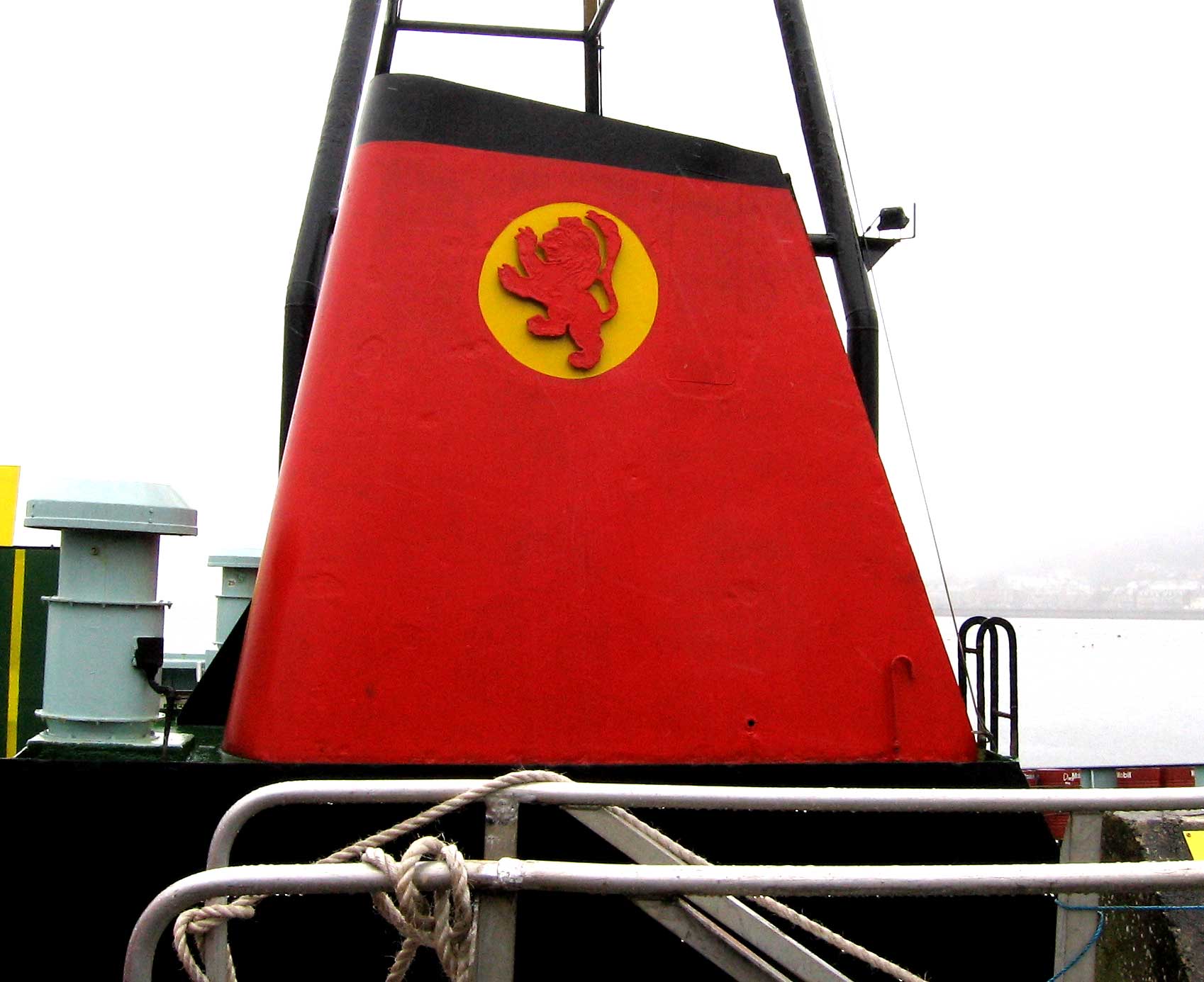
Caledonian MacBrayne ( gd, Caledonian Mac a' Bhriuthainn), usually shortened to CalMac, is the major operator of passenger and vehicle ferries, and ferry services, between the mainland of Scotland and 22 of the major islands on Scotland's west coast. Since 2006, the company's official name has been CalMac Ferries Ltd, although it still operates as Caledonian MacBrayne. In 2006, it also became a subsidiary of holding company David MacBrayne, which is owned by the Scottish Government. History David MacBrayne MacBrayne's, initially known as David Hutcheson & Co., began in 1851 as a private steamship operator when G. and J. Burns, operators of the largest of the Clyde fleets, decided to concentrate on coastal and transatlantic services and handed control of their river and Highland steamers to a new company in which Hutcheson, their manager of these services, became senior partner. One of the other partners was David MacBrayne (1817-1907), nephew of Messrs. Burns. In 1878, th ... [...More Info...] [...Related Items...] OR: [Wikipedia] [Google] [Baidu] |
Coll
Coll (; gd, Cola; sco, Coll)Mac an Tàilleir (2003) p. 31 is an island located west of the Isle of Mull in the Inner Hebrides of Scotland. Coll is known for its sandy beaches, which rise to form large sand dunes, for its corncrakes, and for Breacachadh Castle. It is in the council area of Argyll and Bute. Geology Coll is formed largely from gneiss forming the Lewisian complex, a suite of metamorphic rocks of Archaean to early Proterozoic age. The eastern part of the island is traversed by numerous normal faults most of which run broadly northwest-southeast. Dolerite and camptonite dykes of Permo- Carboniferous or Tertiary age are also seen in the east of the island. Quaternary sediments include raised beach deposits which are frequent around Coll’s coastline whilst stretches of alluvium occupy some low inland areas. There are considerable areas of blown sand in the west and along stretches of the north coast and of peat southwest from Arinagour. Geography ... [...More Info...] [...Related Items...] OR: [Wikipedia] [Google] [Baidu] |
Tiree
Tiree (; gd, Tiriodh, ) is the most westerly island in the Inner Hebrides of Scotland. The low-lying island, southwest of Coll, has an area of and a population of around 650. The land is highly fertile, and crofting, alongside tourism, and fishing are the main sources of employment for the islanders. Tiree, along with Colonsay, enjoys a relatively high number of total hours of sunshine during the late spring and early summer compared to the average for the United Kingdom. Tiree is a popular windsurfing venue; it is sometimes referred to as "Hawaii of the north". In most years, the Tiree World Classic surfing event is held here. People native to the island are known as Tirisdich. History Tiree is known for the 1st-century-AD broch, for the prehistoric carved Ringing Stone and for the birds of the headland. , abbot of Iona Abbey 679–704, recorded several stories relating to St Columba and the island of Tiree. In one story, Columba warned a monk called Berach n ... [...More Info...] [...Related Items...] OR: [Wikipedia] [Google] [Baidu] |
Gunna, Scotland
Gunna ( Gaelic: ''Gunnaigh'') is an island in the Inner Hebrides of Scotland. Geography and geology Gunna lies between Coll and Tiree, closer to Coll. It is in area and at its highest point. Nowhere is it wider than . It has no permanent inhabitants; the only house is used as a holiday residence by its owner, Marcus de Ferranti. It is surrounded by various smaller islands including Eilean Frachlan (just off the north coast), Eilean nan Gamhna off the south coast, Soy Gunna to the north east, and Eilean Bhoramull, which is nearer Coll. It is surrounded by many rocks, especially in Gunna Sound ( Scottish Gaelic: ''Am Bun Dubh''), between it and Tiree. According to Haswell-Smith, the island has a: "bedrock of paragneiss schist with a light sandy soil. Metasediments in the west grade into undifferentiated gneiss in the east". Etymology and history "Gunni" is a Norse forename, and Haswell-Smith suggests that ''Gunni-øy'' means "island of Gunni the Dane" (although it is not ... [...More Info...] [...Related Items...] OR: [Wikipedia] [Google] [Baidu] |
Kyle Of Lochalsh
Kyle of Lochalsh (from the Gaelic ''Caol Loch Aillse'', "strait of the foaming loch") is a village in the historic county of Ross-shire on the northwest coast of Scotland, located around west-southwest of Inverness. It is located on the Lochalsh peninsula, at the entrance to Loch Alsh, opposite the village of Kyleakin on the Isle of Skye. A ferry used to connect the two villages until it was replaced by the Skye Bridge, about to the west, in 1995. Geography The village is the transport and shopping centre for the area as well as having a harbour and marina with pontoons for maritime visitors. The Plock offers a local woodland hike and viewpoint over the peninsula. The Plock was formerly home to a golf course. It is owned by the Kyle of Lochalsh Community Trust, who also own the adjacent building which was formerly the toll building for the Skye Bridge. The surrounding scenery and wildlife are regarded as attractions of the village, as is the slow pace of life. Crofting as we ... [...More Info...] [...Related Items...] OR: [Wikipedia] [Google] [Baidu] |
Mallaig
Mallaig (; gd, Malaig derived from Old Norse , meaning sand dune bay) is a port in Lochaber, on the west coast of the Highlands of Scotland. The local railway station, Mallaig, is the terminus of the West Highland railway line (Fort William and Mallaig branch) and the town is linked to Fort William by the A830 road – the " Road to the Isles". Development The village of Mallaig was founded in the 1840s when Lord Lovat, owner of North Morar Estate, divided up the farm of Mallaigvaig into 17 parcels of land and encouraged his tenants to move to the western part of the peninsula and turn to fishing as a way of life. The population and local economy expanded rapidly in the 20th century with the arrival of the railway. Ferries operated by Caledonian MacBrayne and Western Isles Cruises sail from the port to Armadale on the Isle of Skye, Inverie in Knoydart, Lochboisdale on South Uist and the isles of Rùm, Eigg, Muck, and Canna. Mallaig is the main commercial fis ... [...More Info...] [...Related Items...] OR: [Wikipedia] [Google] [Baidu] |
Stornoway, Outer Hebrides
Stornoway (; gd, Steòrnabhagh; sco, Stornowa) is the main town of the Western Isles and the capital of Lewis and Harris in Scotland. The town's population is around 6,953, making it by far the largest town in the Outer Hebrides, as well as the third largest island town in Scotland after Kirkwall in Orkney and Lerwick in Shetland. The traditional civil parish of Stornoway, which includes various nearby villages, has a combined population of just over 10,000. The Comhairle nan Eilean Siar measures population in a different area: the ''Stornoway settlement'' area, Laxdale, Sandwick and Newmarket; in 2019, the estimated population for this area was 6,953. Stornoway is an important port and the major town and administrative centre of the Outer Hebrides. It is home to '' Comhairle nan Eilean Siar'' (the Western Isles Council) and a variety of educational, sporting and media establishments. Until relatively recently, observance of the Christian Sabbath (Sunday) has been associ ... [...More Info...] [...Related Items...] OR: [Wikipedia] [Google] [Baidu] |


.jpg)


