|
Littleton-upon-Severn
Littleton-upon-Severn is a village and former civil parish, now in the parish of Aust, in the South Gloucestershire district, in the ceremonial county of Gloucestershire, England, near the mouth of the River Severn and is located to the west of Thornbury. Historically it belonged to the Hundred of Langley and Swinehead. In 1931 the parish had a population of 179. On 1 April 1935 the parish was abolished and merged with Aust. A church was first mentioned as being in the village when the abbot of Malmesbury held a court leet here each year under a licence from king Edward the Martyr (975-979), and in the Domesday Book it was listed as being in the Langley hundred, and having a priest and thirty acres of pasture. In the twelfth century, the wooden church was replaced with a stone building, and the font and piscine are also twelfth century. The present parish church of St Mary's of Malmesbury is a Grade II* listed building, having been registered on 30 March 1960. It dates from ... [...More Info...] [...Related Items...] OR: [Wikipedia] [Google] [Baidu] |
Hundred Of Langley And Swinehead
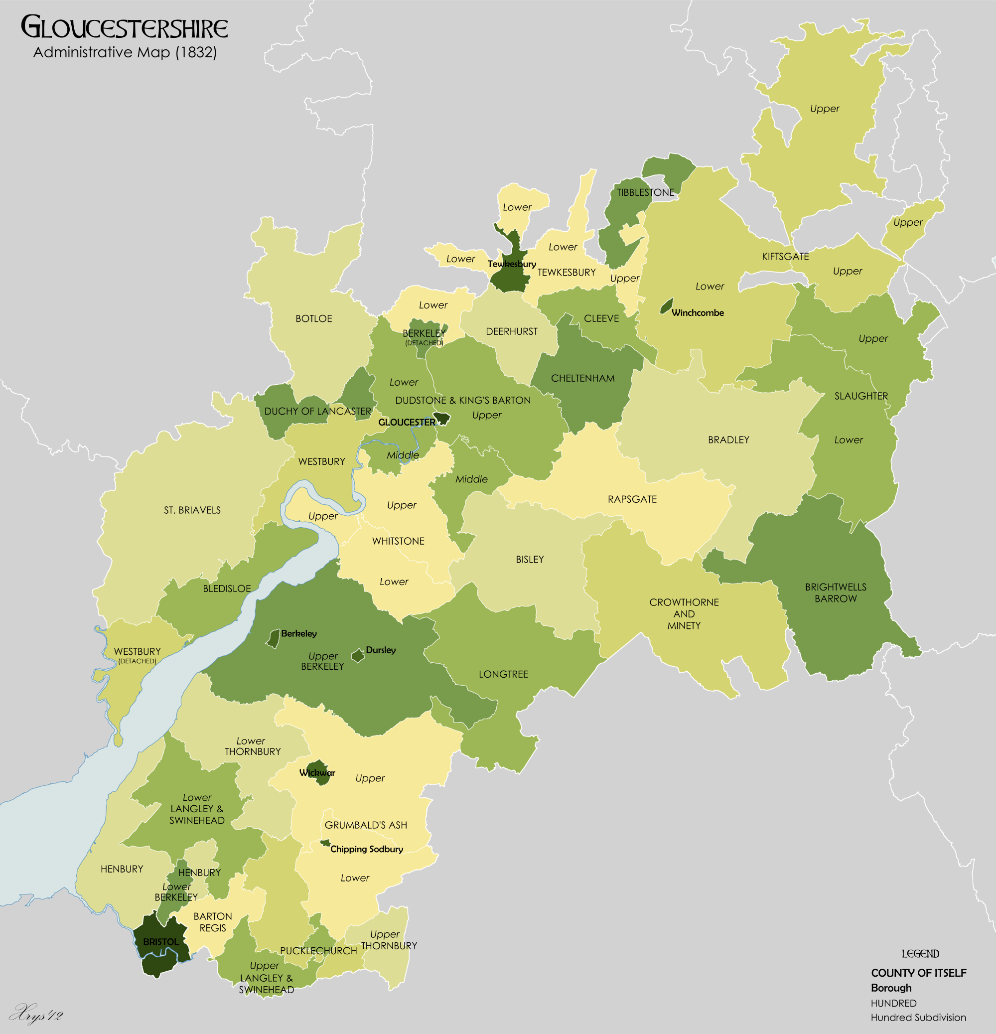
Langley and Swinehead was an ancient Hundred (county subdivision), hundred of Gloucestershire, England. Hundreds originated in the late Anglo-Saxon England, Saxon period as a subdivision of a county and lasted as administrative divisions until the 19th century. Langley and Swinehead was divided into two divisions - Upper and Lower - the Upper division comprised the four ancient parishes of Bitton, Doynton, Frampton Cotterell, Frampton-Cotterell and Winterbourne, Gloucestershire, Winterbourne and part of the parish of Alveston. The Lower division comprised the three ancient parishes of Littleton-upon-Severn, Olveston and Rockhampton, Gloucestershire, Rockhampton, the remainder of Alveston and part of the parish of Almondsbury.The National Gazetteer of Great Britain and Ireland , 1868, via GENUKI ... [...More Info...] [...Related Items...] OR: [Wikipedia] [Google] [Baidu] |
Aust
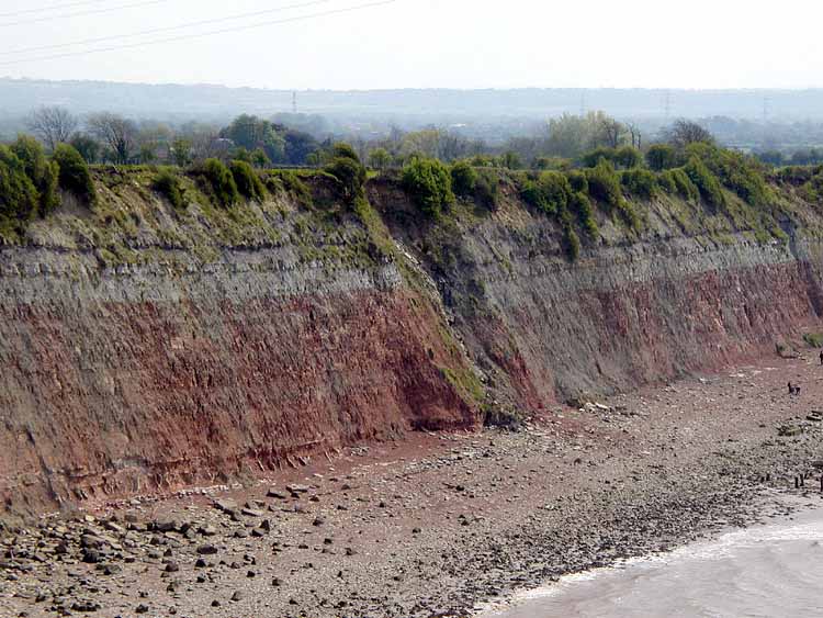
Aust is a small village in South Gloucestershire, England, about north of Bristol and about south west of Gloucester. It is located on the eastern side of the Severn estuary, close to the eastern end of the Severn Bridge which carries the M48 motorway. The village has a chapel, a church and a public house. There is a large area of farmland on the river bank, which is sometimes flooded due to the high tidal range of the Severn. Aust Cliff, above the Severn, is located about from the village. The civil parish of Aust includes the villages of Elberton and Littleton-upon-Severn. History Overview Aust, on the River Severn, was at one end of an ancient Roman road that let to Cirencester. Its name, Aust, may be one of the very few English place-names to be derived from the Latin ''Augusta''. The name of Aust is recorded in 793 or 794 as ''Austan'' (''terram aet Austan v manentes'') when it was returned to the Church of Worcester after having been taken by King Offa's earl, Bynna ... [...More Info...] [...Related Items...] OR: [Wikipedia] [Google] [Baidu] |
Avon Wildlife Trust
The Avon Wildlife Trust aims to protect and promote wildlife in the area of the former county of Avon — now Bath and North East Somerset, Bristol, North Somerset and South Gloucestershire, in England. It has its headquarters in Bristol and runs wildlife centres at Folly Farm, Somerset and Feed Bristol, Frenchay, North Bristol. The trust was formed in 1980, has 17,500 members, and manages 35 nature reserves, ranging from salt marshes and reedbeds to wildflower meadows and ancient woodlands, covering a total of including 12 Sites of Special Scientific Interest. The trust also provides advice to local authorities and landowners on land management and conservation, and provides educational visits for school children and lifelong learning for adults. The Avon Wildlife Trust is part of the Wildlife Trusts partnership of 46 wildlife trusts in the United Kingdom, and carries out its work through a network of staff and over 500 volunteers. History The first development following t ... [...More Info...] [...Related Items...] OR: [Wikipedia] [Google] [Baidu] |
Littleton Brick Pits
Littleton may refer to: Places In Ireland: *Littleton, County Tipperary *Littleton (electoral division) in County Tipperary In the United Kingdom: *Littleton, Cheshire * Littleton, Hampshire * Littleton, Somerset *High Littleton, Somerset *Littleton-upon-Severn, South Gloucestershire *West Littleton, South Gloucestershire * Littleton, Guildford, Surrey *Littleton, Spelthorne, Surrey; originally in Middlesex * Littleton, Wiltshire *Littleton Drew, Wiltshire *Littleton Panell, Wiltshire *North and Middle Littleton, Worcestershire *South Littleton, Worcestershire In the United States: *Littleton, Colorado *Littleton, Illinois * Littleton, Iowa *Littleton, Kentucky *Littleton, Maine *Littleton, Massachusetts *Littleton, New Hampshire, a New England town **Littleton (CDP), New Hampshire, the main village in the town *Littleton, North Carolina *Littleton, West Virginia *Littleton Township (other) Business * Littleton Coin Company, New Hampshire, United States Entertainment *' ... [...More Info...] [...Related Items...] OR: [Wikipedia] [Google] [Baidu] |
South Gloucestershire
South Gloucestershire is a unitary authority area in the ceremonial county of Gloucestershire, South West England. Towns in the area include Yate, Chipping Sodbury, Thornbury, Filton, Patchway and Bradley Stoke, the latter three forming part of the northern Bristol suburbs. The unitary authority also covers many outlying villages and hamlets. The southern part of its area falls within the Greater Bristol urban area surrounding the city of Bristol. South Gloucestershire was created in 1996 to replace the Northavon district of the abolished county of Avon. It is separate from Gloucestershire County Council, but is part of the ceremonial county and shares Gloucestershire's Lord Lieutenant (the Sovereign's representative to the county). Because of its history as part of the county of Avon, South Gloucestershire works closely with the other unitary authorities that took over when that county was abolished, including shared services such as Avon Fire and Rescue Service and Avo ... [...More Info...] [...Related Items...] OR: [Wikipedia] [Google] [Baidu] |
Court Leet
The court leet was a historical court baron (a type of manorial court) of England and Wales and Ireland that exercised the "view of frankpledge" and its attendant police jurisdiction, which was normally restricted to the hundred courts. Etymology of leet The word "leet", as used in reference to special court proceedings, dates from the late 13th century, from Anglo-French ''lete'' and Anglo-Latin ''leta'' of unknown origin, with a possible connection to the verb "let". Early history At a very early time in medieval England, the Lord of the Manor exercised or claimed certain feudal rights over his serfs and feudal tenants. The exercise of those rights was combined with manorial administrative concerns, in his court baron. However this court had no power to deal with criminal acts. Criminal jurisdiction was held by the hundred courts; the country was divided into hundreds, and there was a hundred court for each of them. Each hundred comprised 100 hides, with each hide be ... [...More Info...] [...Related Items...] OR: [Wikipedia] [Google] [Baidu] |
Severn Estuary
The Severn Estuary ( cy, Aber Hafren) is the estuary of the River Severn, flowing into the Bristol Channel between South West England and South Wales. Its high tidal range, approximately , means that it has been at the centre of discussions in the UK regarding renewable energy. Geography Definitions of the limits of the Severn Estuary vary. At the upstream boundary, the tidal limit of the river is at Gloucester. Downstream, the International Hydrographic Organization places the boundary between the estuary and the open sea of the Bristol Channel at a line between Sand Point, Somerset (immediately north of Weston-super-Mare) and Lavernock Point (immediately south of Penarth in south Wales). This definition is used by the Severn Estuary Partnership and Visit England. A narrower definition adopted for navigation purposes by some maps includes only the area downstream of the Second Severn Crossing near Severn Beach, South Gloucestershire. The definition used on Admiralty Chart SC ... [...More Info...] [...Related Items...] OR: [Wikipedia] [Google] [Baidu] |
Listed Building
In the United Kingdom, a listed building or listed structure is one that has been placed on one of the four statutory lists maintained by Historic England in England, Historic Environment Scotland in Scotland, in Wales, and the Northern Ireland Environment Agency in Northern Ireland. The term has also been used in the Republic of Ireland, where buildings are protected under the Planning and Development Act 2000. The statutory term in Ireland is " protected structure". A listed building may not be demolished, extended, or altered without special permission from the local planning authority, which typically consults the relevant central government agency, particularly for significant alterations to the more notable listed buildings. In England and Wales, a national amenity society must be notified of any work to a listed building which involves any element of demolition. Exemption from secular listed building control is provided for some buildings in current use for worship, ... [...More Info...] [...Related Items...] OR: [Wikipedia] [Google] [Baidu] |
Domesday Book
Domesday Book () – the Middle English spelling of "Doomsday Book" – is a manuscript record of the "Great Survey" of much of England and parts of Wales completed in 1086 by order of King William I, known as William the Conqueror. The manuscript was originally known by the Latin name ''Liber de Wintonia'', meaning "Book of Winchester", where it was originally kept in the royal treasury. The '' Anglo-Saxon Chronicle'' states that in 1085 the king sent his agents to survey every shire in England, to list his holdings and dues owed to him. Written in Medieval Latin, it was highly abbreviated and included some vernacular native terms without Latin equivalents. The survey's main purpose was to record the annual value of every piece of landed property to its lord, and the resources in land, manpower, and livestock from which the value derived. The name "Domesday Book" came into use in the 12th century. Richard FitzNeal wrote in the ''Dialogus de Scaccario'' ( 1179) that the book ... [...More Info...] [...Related Items...] OR: [Wikipedia] [Google] [Baidu] |
Edward The Martyr
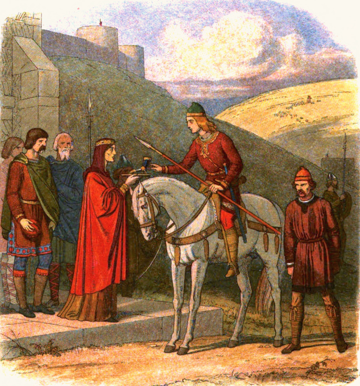
Edward ( ang, Eadweard, ; 18 March 978), often called the Martyr, was King of the English from 975 until he was murdered in 978. Edward was the eldest son of King Edgar, but was not his father's acknowledged heir. On Edgar's death, the leadership of England was contested, with some supporting Edward's claim to be king and others supporting his younger half-brother Æthelred the Unready, recognised as a legitimate son of Edgar. Edward was chosen as king and was crowned by his main clerical supporters, the archbishops Dunstan of Canterbury and Oswald of York. The great nobles of the kingdom, ealdormen Ælfhere and Æthelwine, quarrelled, and civil war almost broke out. In the so-called anti-monastic reaction, the nobles took advantage of Edward's weakness to dispossess the Benedictine reformed monasteries of lands and other properties that King Edgar had granted to them. Edward's short reign was brought to an end by his murder at Corfe Castle in 978 in circumstances that a ... [...More Info...] [...Related Items...] OR: [Wikipedia] [Google] [Baidu] |
A Vision Of Britain Through Time
The Great Britain Historical GIS (or GBHGIS) is a spatially enabled database that documents and visualises the changing human geography of the British Isles, although is primarily focussed on the subdivisions of the United Kingdom mainly over the 200 years since the first census in 1801. The project is currently based at the University of Portsmouth, and is the provider of the website ''A Vision of Britain through Time''. NB: A "GIS" is a geographic information system, which combines map information with statistical data to produce a visual picture of the iterations or popularity of a particular set of statistics, overlaid on a map of the geographic area of interest. Original GB Historical GIS (1994–99) The first version of the GB Historical GIS was developed at Queen Mary, University of London between 1994 and 1999, although it was originally conceived simply as a mapping extension to the existing Labour Markets Database (LMDB). The system included digital boundaries for r ... [...More Info...] [...Related Items...] OR: [Wikipedia] [Google] [Baidu] |
Malmesbury Abbey
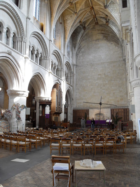
Malmesbury Abbey, at Malmesbury in Wiltshire, England, is a religious house dedicated to Saint Peter and Paul the Apostle, Saint Paul. It was one of the few English houses with a continuous history from the 7th century through to the dissolution of the monasteries. Monastic history In the later seventh century, the site of the Abbey was chosen by Maildubh, an Irish monasticism, Irish monk who established a hermitage, teaching local children. Toward the end of his life, in the late seventh century, the area was conquered by the Anglo-Saxons, Saxons.''Blackwell Encyclopedia of Anglo Saxon England'', p. 209. Malmesbury Abbey was founded as a Benedictine monastery around 676 by the scholar-poet Aldhelm, a nephew of King Ine of Wessex. The town of Malmesbury grew around the expanding Abbey and under Alfred the Great was made a burh, with an assessment of 12 hides. In AD 941, King Æthelstan was buried in the Abbey. Æthelstan had died in Gloucester in October 939. The choice of Malme ... [...More Info...] [...Related Items...] OR: [Wikipedia] [Google] [Baidu] |


