|
Little Dog Mountain
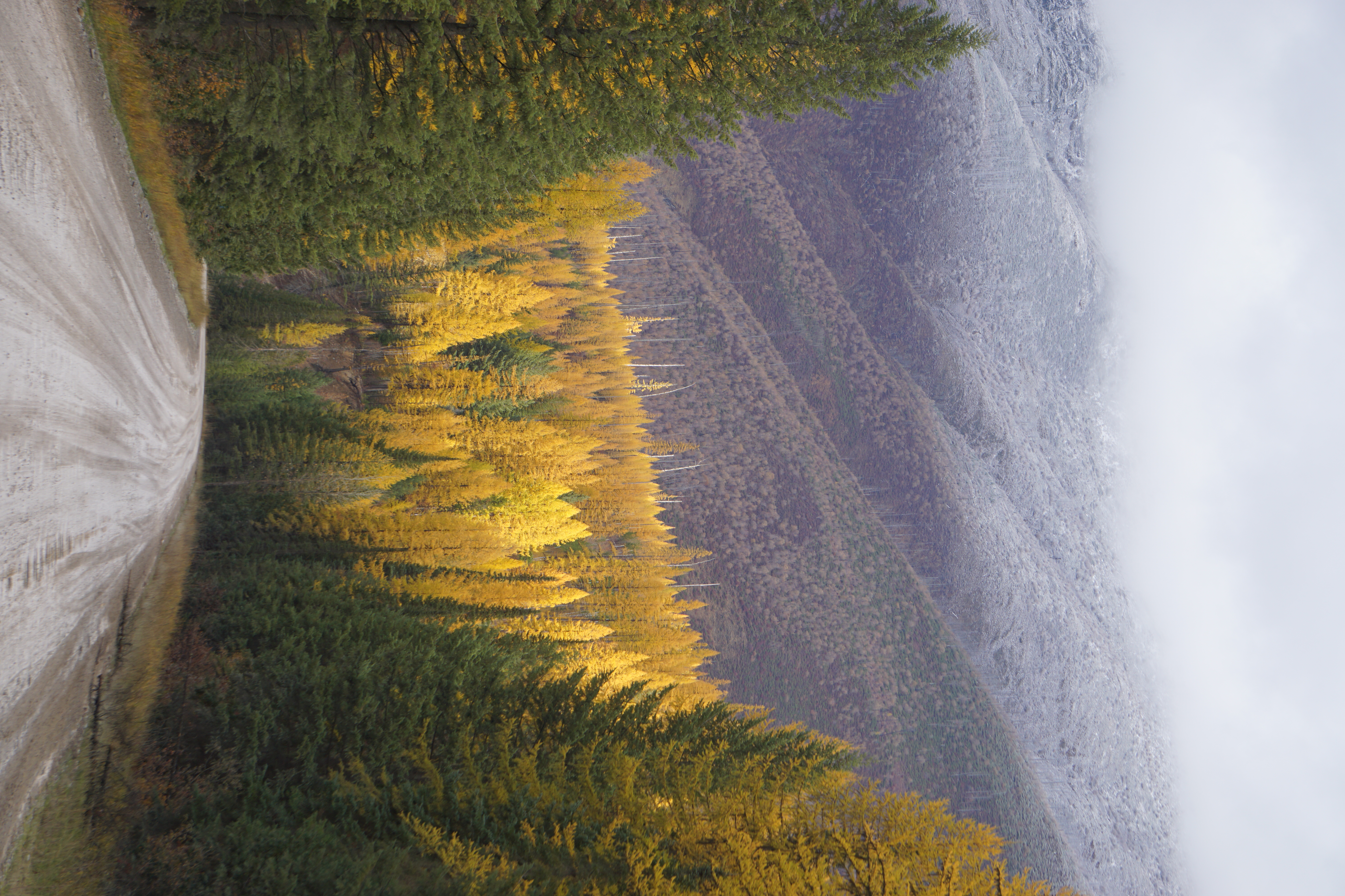
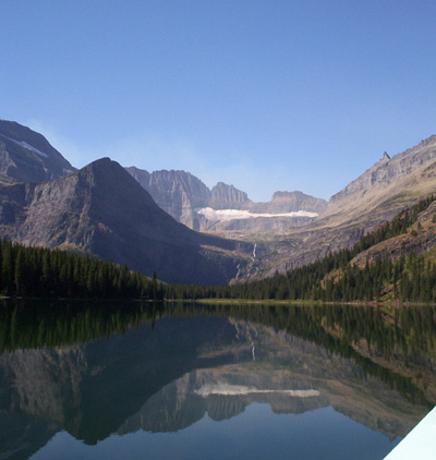
Little Dog Mountain () is located in the Lewis Range, Glacier National Park in the U.S. state of Montana. Little Dog Mountain sits along the Continental Divide and can be easily seen from Marias Pass. The mountain was named by George Bird Grinnell for "Little Dog," Blackfoot Indian Chief who, in 1853, informed Isaac Stevens, the new Governor of the Washington Territory, of the existence of Marias Pass. See also * Mountains and mountain ranges of Glacier National Park (U.S.) References Little Dog Mountain Little Dog Mountain () is located in the Lewis Range, Glacier National Park in the U.S. state of Montana. Little Dog Mountain sits along the Continental Divide and can be easily seen from Marias Pass. The mountain was named by George Bird Grinn ... Mountains of Glacier National Park (U.S.) Lewis Range Mountains of Montana {{GlacierCountyMT-geo-stub ... [...More Info...] [...Related Items...] OR: [Wikipedia] [Google] [Baidu] |
Flathead County, Montana
Flathead County is in the U.S. state of Montana. At the 2020 census, its population was 104,357, making it the state's fourth most populous county. Its county seat is Kalispell. Its numerical designation (used in the issuance of license plates) is 7. Its northern border is on the state's north border, making it contiguous with the Canada–US border, facing British Columbia. Flathead County comprises the Kalispell, Montana Micropolitan Statistical Area, with neighboring Lake County following soon after. History Flathead County was founded in 1893. Some sources cite the supposed practice of the Salish tribe flattening infants' heads as the origin of the name Flathead, but there is no record of Salish Indians ever having that appearance. Geography The county includes much of Flathead Lake, the Flathead Valley, and the Flathead River. These natural treasures, originated by glaciers, are named for the unique geological formation of a broad flat valley surrounded by mountains at ... [...More Info...] [...Related Items...] OR: [Wikipedia] [Google] [Baidu] |
George Bird Grinnell
George Bird Grinnell (September 20, 1849 – April 11, 1938) was an American anthropologist, historian, naturalist, and writer. Grinnell was born in Brooklyn, New York, and graduated from Yale University with a B.A. in 1870 and a Ph.D. in 1880. Originally specializing in zoology, he became a prominent early conservationist and student of Native American life. Grinnell has been recognized for his influence on public opinion and work on legislation to preserve the American bison. Mount Grinnell in Glacier National Park in Montana is named after Grinnell. Exploration and conservation Grinnell had extensive contact with the terrain, animals and Native Americans of the northern plains, starting with being part of the last great hunt of the Pawnee in 1872. He spent many years studying the natural history of the region. As a graduate student, he accompanied Lieutenant Colonel George Armstrong Custer’s 1874 Black Hills expedition as a naturalist. He declined a similar appointm ... [...More Info...] [...Related Items...] OR: [Wikipedia] [Google] [Baidu] |
Mountains Of Glacier County, Montana
A mountain is an elevated portion of the Earth's crust, generally with steep sides that show significant exposed bedrock. Although definitions vary, a mountain may differ from a plateau in having a limited summit area, and is usually higher than a hill, typically rising at least 300 metres (1,000 feet) above the surrounding land. A few mountains are isolated summits, but most occur in mountain ranges. Mountains are formed through tectonic forces, erosion, or volcanism, which act on time scales of up to tens of millions of years. Once mountain building ceases, mountains are slowly leveled through the action of weathering, through slumping and other forms of mass wasting, as well as through erosion by rivers and glaciers. High elevations on mountains produce colder climates than at sea level at similar latitude. These colder climates strongly affect the ecosystems of mountains: different elevations have different plants and animals. Because of the less hospitable terrain and ... [...More Info...] [...Related Items...] OR: [Wikipedia] [Google] [Baidu] |
Mountain Glacier National Park 1 (8047655302)
A mountain is an elevated portion of the Earth's crust, generally with steep sides that show significant exposed bedrock. Although definitions vary, a mountain may differ from a plateau in having a limited summit area, and is usually higher than a hill, typically rising at least 300 metres (1,000 feet) above the surrounding land. A few mountains are isolated summits, but most occur in mountain ranges. Mountains are formed through tectonic forces, erosion, or volcanism, which act on time scales of up to tens of millions of years. Once mountain building ceases, mountains are slowly leveled through the action of weathering, through slumping and other forms of mass wasting, as well as through erosion by rivers and glaciers. High elevations on mountains produce colder climates than at sea level at similar latitude. These colder climates strongly affect the ecosystems of mountains: different elevations have different plants and animals. Because of the less hospitable terrain a ... [...More Info...] [...Related Items...] OR: [Wikipedia] [Google] [Baidu] |
Mountains And Mountain Ranges Of Glacier National Park (U
A mountain is an elevated portion of the Earth's crust, generally with steep sides that show significant exposed bedrock. Although definitions vary, a mountain may differ from a plateau in having a limited summit area, and is usually higher than a hill, typically rising at least 300 metres (1,000 feet) above the surrounding land. A few mountains are isolated summits, but most occur in mountain ranges. Mountains are formed through tectonic forces, erosion, or volcanism, which act on time scales of up to tens of millions of years. Once mountain building ceases, mountains are slowly leveled through the action of weathering, through slumping and other forms of mass wasting, as well as through erosion by rivers and glaciers. High elevations on mountains produce colder climates than at sea level at similar latitude. These colder climates strongly affect the ecosystems of mountains: different elevations have different plants and animals. Because of the less hospitable terrain and ... [...More Info...] [...Related Items...] OR: [Wikipedia] [Google] [Baidu] |
Washington Territory
The Territory of Washington was an organized incorporated territory of the United States that existed from March 2, 1853, until November 11, 1889, when the territory was admitted to the Union as the State of Washington. It was created from the portion of the Oregon Territory north of the lower Columbia River and north of the 46th parallel east of the Columbia. At its largest extent, it also included the entirety of modern Idaho and parts of Montana and Wyoming, before attaining its final boundaries in 1863. History Agitation in favor of self-government developed in the regions of the Oregon Territory north of the Columbia River in 1851–1852. A group of prominent settlers from the Cowlitz and Puget Sound regions met on November 25, 1852, at the "Monticello Convention" in present-day Longview, to draft a petition to the United States Congress calling for a separate territory north of the Columbia River. After gaining approval from the Oregon territorial government, the prop ... [...More Info...] [...Related Items...] OR: [Wikipedia] [Google] [Baidu] |
Isaac Stevens
Isaac Ingalls Stevens (March 25, 1818 – September 1, 1862) was an American military officer and politician who served as governor of the Territory of Washington from 1853 to 1857, and later as its delegate to the United States House of Representatives. During the American Civil War, he held several Union commands. He was killed at the Battle of Chantilly, while at the head of his men and carrying the fallen colors of one of his regiments against Confederate positions. According to one account, at the hour of his death Stevens was being considered by President Abraham Lincoln for appointment to command the Army of Virginia. He was posthumously advanced to the rank of Major General. Several schools, towns, counties, and lakes are named in his honor. Descended from early American settlers in New England, Stevens – a man who stood just tall – overcame a troubled childhood and personal setbacks to graduate at the top of his class at West Point before embarking on a successful mi ... [...More Info...] [...Related Items...] OR: [Wikipedia] [Google] [Baidu] |
Blackfeet Nation
The Blackfeet Nation ( bla, Aamsskáápipikani, script=Latn, ), officially named the Blackfeet Tribe of the Blackfeet Indian Reservation of Montana, is a federally recognized tribe of Siksikaitsitapi people with an Indian reservation in Montana. Tribal members primarily belong to the Piegan Blackfeet (Ampskapi Piikani) band of the larger Blackfoot Confederacy that spans Canada and the United States. The Blackfeet Indian Reservation is located east of Glacier National Park and borders the Canadian province of Alberta. Cut Bank Creek and Birch Creek form part of its eastern and southern borders. The reservation contains 3,000 square miles (7,800 km2), twice the size of the national park and larger than the state of Delaware. It is located in parts of Glacier and Pondera counties. History The Blackfeet settled in the region around Montana beginning in the 17th century. Previously, they resided in an area of the woodlands north and west of the Great Lakes. Pressure exer ... [...More Info...] [...Related Items...] OR: [Wikipedia] [Google] [Baidu] |
Marias Pass
Marias Pass (elevation ) is a mountain pass in the Rocky Mountains in the western US state of Montana. Lying on the southern border of Glacier National Park, it is traversed by US Highway 2 and by the BNSF Hi-Line Subdivision. The pass is the lowest crossing of the Continental Divide between Canada and central New Mexico , and is the northernmost pass in the US open to automobile traffic year-round. Geography Marias Pass traverses the Continental Divide in the Lewis Range, along the boundary between the Lewis and Clark National Forest and the Flathead National Forest. The pass forms the southern limit of the Continental Ranges, a major grouping of the Rocky Mountains which extends as far north as McGregor Pass in the Northern Rockies of the Canadian province of British Columbia. The Great Bear Wilderness in Lewis and Clark National Forest is south of the pass and Glacier National Park is to the north. History As a low pass through the Rocky Mountains, Marias Pass wa ... [...More Info...] [...Related Items...] OR: [Wikipedia] [Google] [Baidu] |
Glacier County, Montana
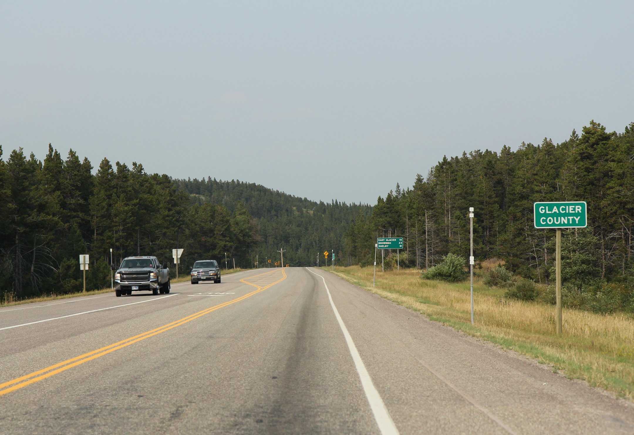
Glacier County is located in the U.S. state of Montana. As of the 2020 census, the population was 13,778. The county is located in northwestern Montana between the Great Plains and the Rocky Mountains, known to the Blackfeet as the "Backbone of the World". The county is geographically and culturally diverse and includes the Blackfeet Indian Reservation, Glacier National Park, and Lewis and Clark National Forest. The county is bordered by 75 miles of international boundary with two ports of entry ( Piegan and Del Bonita) open year-round and one seasonal (Chief Mountain) international border crossing into Alberta, Canada. Settlements Several small unincorporated communities, one incorporated town, and one incorporated city are located within the county. Cut Bank, the county seat with a population of around 3000, is located in eastern Glacier County, on the edge of the Great Plains. Cut Bank arose from the railroad and agriculture needs of the surrounding area, and was fostered ... [...More Info...] [...Related Items...] OR: [Wikipedia] [Google] [Baidu] |
Continental Divide Of The Americas
The Continental Divide of the Americas (also known as the Great Divide, the Western Divide or simply the Continental Divide; ) is the principal, and largely mountainous, hydrological divide of the Americas. The Continental Divide extends from the Bering Strait to the Strait of Magellan, and separates the watersheds that drain into the Pacific Ocean from those river systems that drain into the Atlantic and (in northern North America) Arctic oceans (including those that drain into the Gulf of Mexico, the Caribbean Sea and Hudson Bay). Although there are many other hydrological divides in the Americas, the Continental Divide is by far the most prominent of these because it tends to follow a line of high peaks along the main ranges of the Rocky Mountains and Andes, at a generally much higher elevation than the other hydrological divisions. Geography Beginning at the westernmost point of the Americas’ mainland (Cape Prince of Wales, just south of the Arctic Circle), the Conti ... [...More Info...] [...Related Items...] OR: [Wikipedia] [Google] [Baidu] |
Montana
Montana () is a state in the Mountain West division of the Western United States. It is bordered by Idaho to the west, North Dakota and South Dakota to the east, Wyoming to the south, and the Canadian provinces of Alberta, British Columbia, and Saskatchewan to the north. It is the fourth-largest state by area, the eighth-least populous state, and the third-least densely populated state. Its state capital is Helena. The western half of Montana contains numerous mountain ranges, while the eastern half is characterized by western prairie terrain and badlands, with smaller mountain ranges found throughout the state. Montana has no official nickname but several unofficial ones, most notably "Big Sky Country", "The Treasure State", "Land of the Shining Mountains", and " The Last Best Place". The economy is primarily based on agriculture, including ranching and cereal grain farming. Other significant economic resources include oil, gas, coal, mining, and lumber. The health ca ... [...More Info...] [...Related Items...] OR: [Wikipedia] [Google] [Baidu] |


