|
List Of Islands In The Persian Gulf
The Persian Gulf is home to many islands, mostly small, distributed in the gulf's entire geographic area and administered by the neighboring nations. Most islands are sparsely populated, with some being barren, and some utilized for communication, military, or as ship docks. Some of the islands in the Persian Gulf are artificially constructed islands. The artificial islands often serve as tourist resorts, housing developments, or hotels. Despite their small sizes, some of these artificial islands have caused serious hazards for the already fragile ecosystem of the Gulf and its dwindling wildlife mass. A few of the Gulf islands are also historically significant, having been utilized by the ancient empires, neighboring kingdoms, and in the recent times, colonial powers such as the British Empire, and the Portuguese Empire. Recent globalization, and discovery of oil, has made some of the Persian Gulf islands very significant for developed nations as a source of oil and raw industrial ... [...More Info...] [...Related Items...] OR: [Wikipedia] [Google] [Baidu] |
Persian Gulf
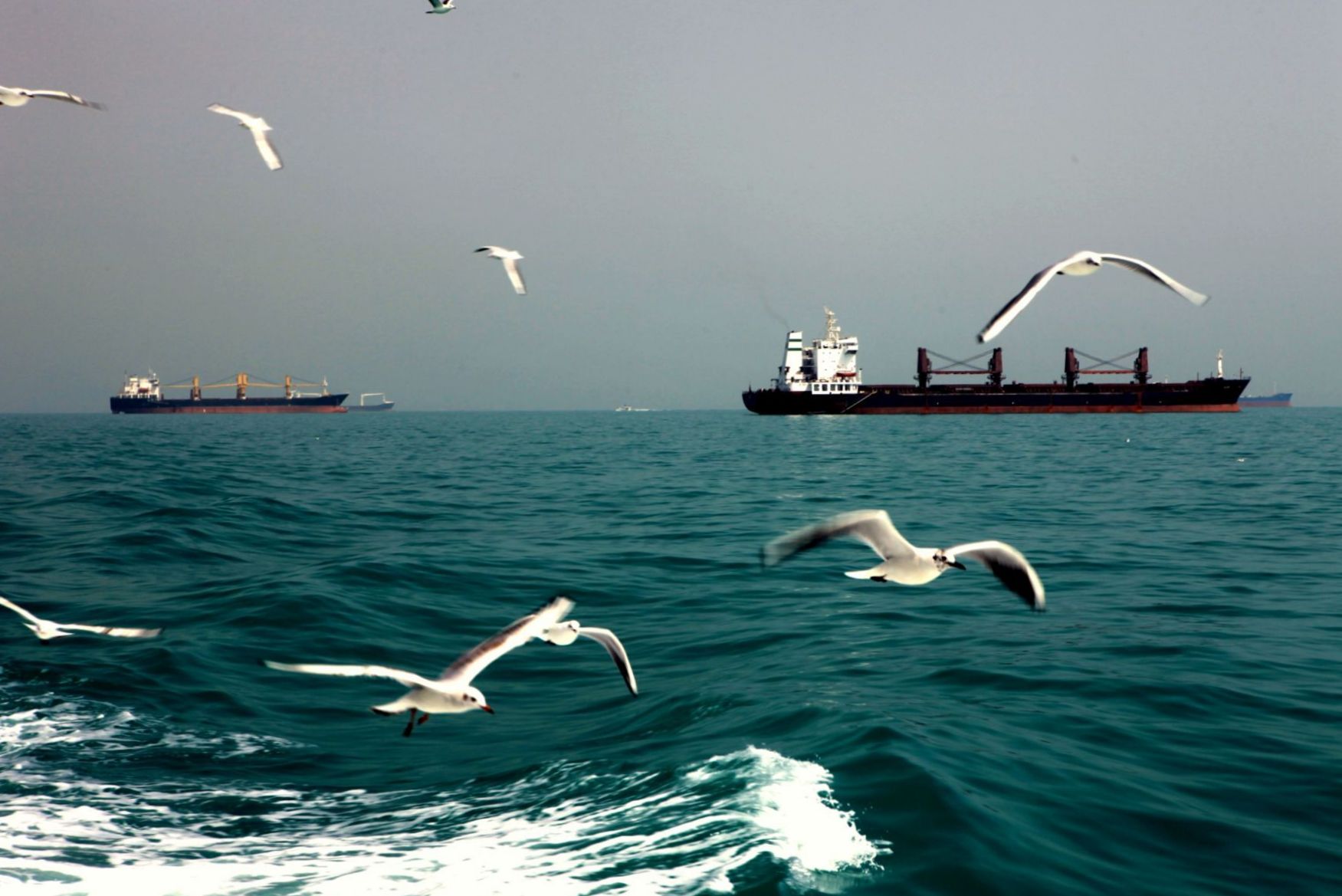
The Persian Gulf, sometimes called the Arabian Gulf, is a Mediterranean seas, mediterranean sea in West Asia. The body of water is an extension of the Arabian Sea and the larger Indian Ocean located between Iran and the Arabian Peninsula.United Nations Group of Experts on Geographical NameWorking Paper No. 61, 23rd Session, Vienna, 28 March – 4 April 2006. accessed 9 October 2010 It is connected to the Gulf of Oman in the east by the Strait of Hormuz. The river delta of the Shatt al-Arab forms the northwest shoreline. The Persian Gulf has many fishing grounds, extensive reefs (mostly rocky, but also Coral reef, coral), and abundant pearl oysters, however its ecology has been damaged by industrialization and oil spills. The Persian Gulf is in the Persian Gulf Basin, which is of Cenozoic origin and related to the subduction of the Arabian plate under the Zagros Mountains. The current flooding of the basin started 15,000 years ago due to sea level rise, rising sea levels of ... [...More Info...] [...Related Items...] OR: [Wikipedia] [Google] [Baidu] |
Umm An Nasan
Umm an Nasan island () is the fifth largest island in Bahrain. It is west of the capital, Manama, on Bahrain Island. Description Umm an Nasan is privately owned by (former) Prime Minister Khalifa bin Salman Al Khalifa, and is off limits to ordinary citizens. There is little development on the island other than three palaces for the King and some gardens. There is also a small population of black buck introduced to the island. The small Umm an Nasan village is located on the west coast, and has some nomadic families which care for the deer and gazelles of the island. Geography Umm an Nasan lies in the Gulf of Bahrain in Persian Gulf to the west of Bahrain Island, and to the east of the Saudi coastal city of Khobar. Administration The island belongs to Northern Governorate. * North Palace * Southwest Palace * Palace at the Sea * Umm an Nasan village * Security village Transportation Umm an Nasan is connected to Bahrain Island and to Khobar, Saudi Arabia through the King Fa ... [...More Info...] [...Related Items...] OR: [Wikipedia] [Google] [Baidu] |
Kharg Island
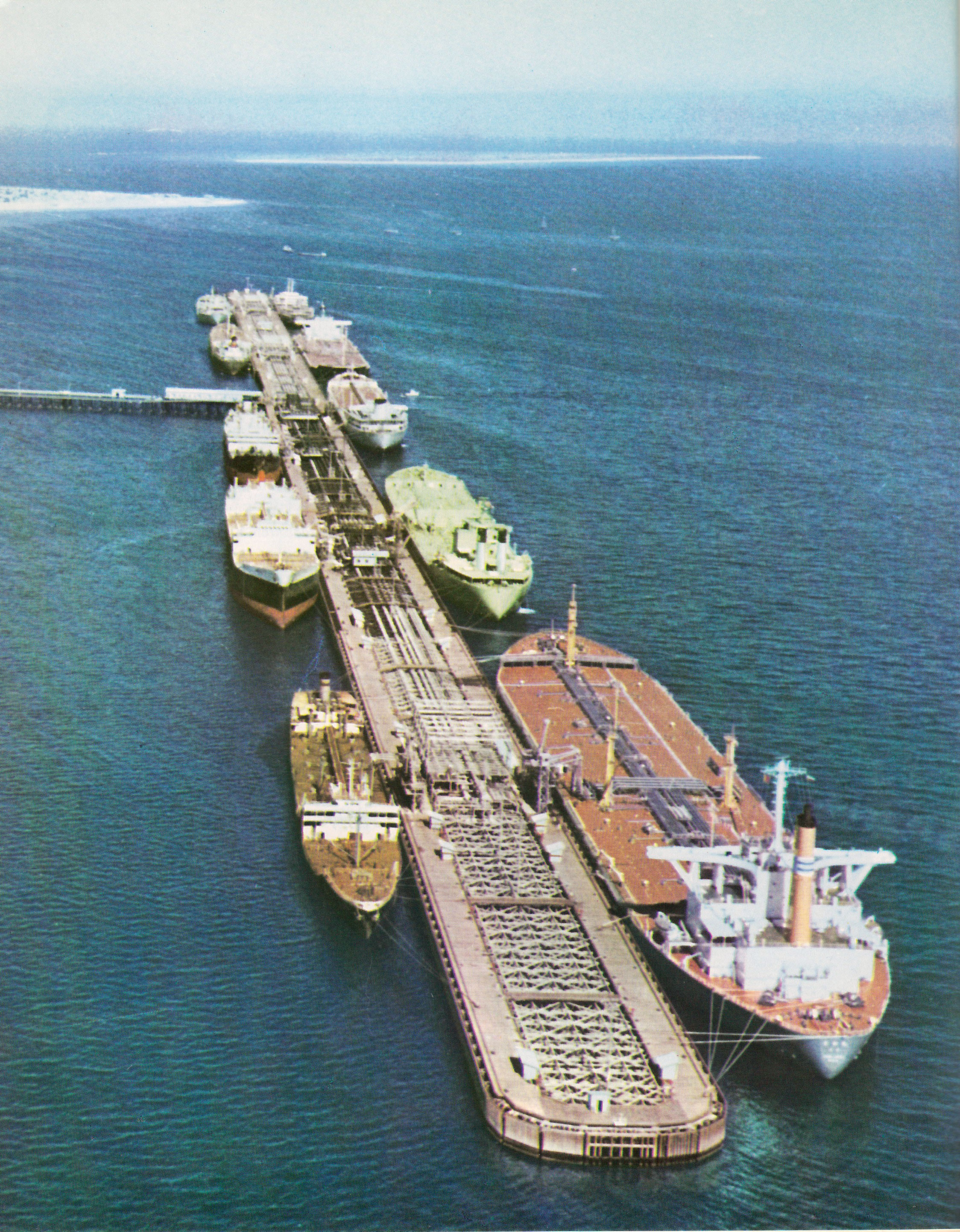
Kharg or Khark Island () is a continental island of Iran in the Persian Gulf. The island is off the coast of Iran and northwest of the Strait of Hormuz. Its total area is . Administered by the adjacent coastal Bushehr Province, Khark Island provides a sea port for the export of oil and extends Iranian territorial sea claims into the Persian Gulf oil fields. Located on Khark Island is Khark, the only city in the Khark District. History Mentioned in the ''Hudud al-'Alam'' as a good source for pearls around 982 AD, Khark was visited by the French traveller Jean de Thévenot in 1665, who recorded trade at the time with Isfahan and Basra. In 1753 the Dutch Empire established both a trading post and a fort on the island after securing perpetual ownership of the island from Mir Nasáir, the Arab ruler of Bandar Rig, in return for a present of 2000 rupees. In 1766 the Dutch fort was captured by Mir Mahanna, the governor of Bandar Rig. The island was briefly occupied in 1838 by ... [...More Info...] [...Related Items...] OR: [Wikipedia] [Google] [Baidu] |
Hormuz Island
Hormuz Island (; ), also spelled Hormoz, Ormoz, Ormuz or Ormus, is an Iranian island in the Persian Gulf. Geography Hormuz Island has an area of . Located in the Strait of Hormuz, off the Iranian coast, the island is part of Hormozgan Province. It is sparsely inhabited, but some development has taken place since the late 20th century. Geology Reddish ochre on the island and its beaches, called Golak by natives, has been exploited for artistic and culinary purposes, and also attracts tourists. Degradation due to overuse of the ochre has resulted in actions by the Department of Environment (Iran), Department of Environment to protect it. The satellite images catching the concentric arrangement of the rocks show that Hormuz Island appears to be a salt diapir, composed of ancient seasalt deposits which, due to lack of salt-dissolving groundwater and rains, and due to their plastic deformabilty, can flow and squeeze just like ice; thus, under the squeezing pressure of other sedim ... [...More Info...] [...Related Items...] OR: [Wikipedia] [Google] [Baidu] |
Hengam Island
Hengam Island () is an Iranian island located south of Qeshm Island, Iran, in the Persian Gulf. Geography The island is wide and shaped like a truncated cone. The island is generally calcareous and generally low-lying. The highest point on the island is Nakas Mountain with an altitude of about . Hengam Island is about away from Qeshm Island. See also * Hormozgān Province * List of islands of Iran * List of lighthouses in Iran Gallery File:Hengamsland.jpg, File:HengamDolphins.jpg, References Further reading * ''Speak the Wind'' (Mack, 2021; photographs by Hoda Afshar; essay by Michael Taussig) This work documents the landscapes and people of the islands of Hormuz, Qeshm, and Hengam, all located in the Persian Gulf The Persian Gulf, sometimes called the Arabian Gulf, is a Mediterranean seas, mediterranean sea in West Asia. The body of water is an extension of the Arabian Sea and the larger Indian Ocean located between Iran and the Arabian Peninsula.U ... [...More Info...] [...Related Items...] OR: [Wikipedia] [Google] [Baidu] |
Hendurabi
Hendurabi () is an Iranian island in the Persian Gulf. Its name is derived from the Persian word ''andar-abi'' (اندرآبی), meaning "inside the waters," i.e., an island. This is the native Persian word for the Arabic-derived term ''jazira'', meaning an "island." It is located in Hormozgan province, to the west of Kish Island and due south of Bastak. Administratively, the island is in Kish Rural District, Kish District, Bandar Lengeh County, Hormozgan province, Iran. Demographics Population Handeh-ye Rabi is the only village in the rural district of the Bandar Lengeh County. At the time of the 2006 National Census, the village's population was 79 people in 9 households. The following census in 2011 counted 86 people in 21 households. The 2016 census measured the population of the village as 191 people in 31 households. See also *Bandar Lengeh Bandar Lengeh () is a city in the Central District of Bandar Lengeh County, Hormozgan province, Iran, serving as capi ... [...More Info...] [...Related Items...] OR: [Wikipedia] [Google] [Baidu] |
Greater And Lesser Tunbs
Greater Tunb and Lesser Tunb (, ''Tonb-e Bozorg'' and ''Tonb-e Kuchak'', , ''Tunb el-Kubra'' and ''Tunb el-Sughra'') are two small islands in the eastern Persian Gulf, close to the Strait of Hormuz. They lie at and , respectively, some from each other and south of the Iranian island of Qeshm. The islands are administered by Iran as part of its Hormozgan province. Greater Tunb has a surface area of . It is known for its red soil. There are conflicting descriptions about its population: While some sources state there are between a few dozen and a few hundred inhabitants, others describe the island as having no native civilian population. There is reported to be an Iranian garrison and naval station, an aircraft runway, a fish storage facility and a red-soil mine. Lesser Tunb has a surface of and is uninhabited with the exception of a small airfield, harbour, and entrenched Iranian military unit. Toponymy 250px, Aerial photograph of the Greater Tunb The toponymy of Tonb is i ... [...More Info...] [...Related Items...] OR: [Wikipedia] [Google] [Baidu] |
Faror Island
Faror or Farvar Island () is an island in Hormozgan province in Iran. Geography Faror Island is in size, in area, and reaches a height of . It is located from the city of Abu Moussa and from Bandar Abbas. Little Faror Island, with an area of , lies south-south-west of Faror Island. Administratively, Faror and Little Faror are part of the Central District of Abumusa County. Faror is largely uninhabited, except for a few government officials. It is situated in one of the world's earthquake belts. The remains of ruined buildings and water wells on the island testify to the presence of some settlements in the past. The island also contains a deposit of iron which is estimated to be about 15,000 tons. As of 2016, the island is used by a detachment of IRGC Navy marines ( Sepah Navy Special Force). Environment Wild birds such as white-eared bulbuls, hoopoes, bee-eaters, laughing doves and yellow wagtails inhabit the island. The Iranian government established the Faror ... [...More Info...] [...Related Items...] OR: [Wikipedia] [Google] [Baidu] |
Farsi Island
Farsi Island () is a tiny, barren Iranian island (Bushehr province) in the Persian Gulf. There is an IRGC Navy base on this island. The island has an area of about and is restricted from the public. The center of Farsi Island is located at latitude 27° 59' 36" N and longitude 50° 10' 22" E. Its maximum elevation is . The word ''Farsi'' means "Persian". In the late 1980s, during the " Tanker War" phase of the Iran–Iraq War, the IRGC used speedboats to launch attacks from Farsi Island on vessels of Iraq and its allies, including Kuwait. The United States entered the Persian gulf to protect Kuwaiti oil shipments. Iran planted naval mine A naval mine is a self-contained explosive weapon placed in water to damage or destroy surface ships or submarines. Similar to anti-personnel mine, anti-personnel and other land mines, and unlike purpose launched naval depth charges, they are ...s near Farsi Island on the route of the first convoy, consisting of US navy vessels escorting ... [...More Info...] [...Related Items...] OR: [Wikipedia] [Google] [Baidu] |


