|
List Of Cities In West Bengal By Population
This is a list of urban agglomerations and cities (those not included in the urban agglomerations), with a population above 100,000 as per the 2011 census in the Indian state of West Bengal. List Urban agglomerations In the census of India 2011, an urban agglomeration has been defined as follows: "An urban agglomeration is a continuous urban spread constituting a town and its adjoining outgrowths (OGs), or two or more physically contiguous towns together with or without outgrowths of such towns. An Urban Agglomeration must consist of at least a statutory town and its total population (i.e. all the constituents put together) should not be less than 20,000 as per the 2001 Census. In varying local conditions, there were similar other combinations which have been treated as urban agglomerations satisfying the basic condition of contiguity." Urban agglomeration constituents Urban agglomerations constituents with a population above 100,000 as per the 2011 census are shown in the tab ... [...More Info...] [...Related Items...] OR: [Wikipedia] [Google] [Baidu] |
Urban Agglomeration
An urban area is a human settlement with a high population density and an infrastructure of built environment. Urban areas originate through urbanization, and researchers categorize them as cities, towns, conurbations or suburbs. In urbanism, the term "urban area" contrasts to rural areas such as villages and hamlet (place), hamlets; in urban sociology or urban anthropology, it often contrasts with natural environment. The development of earlier predecessors of modern urban areas during the urban revolution of the 4th millennium BCE led to the formation of human civilization and ultimately to modern urban planning, which along with other human activities such as exploitation of natural resources has led to a human impact on the environment. Recent historical growth In 1950, 764 million people (or about 30 percent of the world's 2.5 billion people) lived in urban areas. In 2009, the number of people living in urban areas (3.42 billion) surpassed the number living in rural ... [...More Info...] [...Related Items...] OR: [Wikipedia] [Google] [Baidu] |
Malda, West Bengal
Malda, also known as English Bazar, is a city in the Indian state of West Bengal. It is the sixth largest city (urban agglomeration) in West Bengal. It is the headquarters of the Malda district as well as of the Malda division of West Bengal. It consists of two municipalities, viz. English Bazar Municipality and Old Malda Municipality, under Malda Metropolitan Area. The city is located on the banks of the Mahananda River. Malda was an undeveloped city which was enlarging from 1925 to 1930. The city is growing rapidly nowadays with its population inching towards half a million. Etymology The name ''English Bazar'' is a calque of ''Angrezābād'' ("English-town"), applied in the 17th century to the surroundings of the English factory. wikisource:Hobson-Jobson/E, English-Bazar It was named in accordance with the factories built on the banks of River Mahananda by the British. The English traders set their factories here for the high profitable trade. Geography Location Malda is lo ... [...More Info...] [...Related Items...] OR: [Wikipedia] [Google] [Baidu] |
Raiganj
Raiganj (), is a city in the Indian state of West Bengal and it stands on the bank of the Kulik river. This city is the headquarters of the Uttar Dinajpur district. The city situated in the narrow strip which joins the Northern and Southern portion of the state of West Bengal, has come up in prominence as a result of partition of India. Etymology The origin of the name "Raiganj" is not exactly known, and is debated. Some say the name is linked to the royal family of Dinajpur whose surname was Rai. The widely accepted view is that the name originated from the abundance of rai sorshe (a special type of mustard) crops at this place from time immemorial. Many people think that the word "Raiganj" came from "Rai" meaning " Radha", the consort of Krishna. In this connection, "Kaliaganj", nearest city to Raiganj, comes from "Kalia" meaning "Krishna", the central character of '' Mahabharata''. Geography Raiganj Wildlife Sanctuary Raiganj is known for Raiganj Wildlife Sanctuary (al ... [...More Info...] [...Related Items...] OR: [Wikipedia] [Google] [Baidu] |
Purba Medinipur District
East Medinipur (Alternative spelling ''Midnapore'') district is an administrative unit in the Indian state of West Bengal. It is the southernmost district of Medinipur division – one of the five administrative divisions of West Bengal. The headquarters in Tamluk. It was formed on 1 January 2002 after the Partition of Medinipur into East Medinipur and West Medinipur which lies at the northern and western border of it. The state of Odisha is at the southwest border; the Bay of Bengal lies in the south; the Hooghly river and South 24 Parganas district to the east; Howrah district to the north-east; West Medinipur district to the west. East Medinipur comprises the sub-divisions of Tamluk, Contai and Haldia of erstwhile Medinipur district. Another sub-division, Egra has been created out of the erstwhile Contai sub-division during the partition of Medinipur. In 2011, the state government proposed to rename the district as Tamralipta district after the ancient port city of Tamra ... [...More Info...] [...Related Items...] OR: [Wikipedia] [Google] [Baidu] |
Haldia
Haldia () is an industrial port city in Purba Medinipur district in the Indian state of West Bengal. It has a major river port and industrial belt located approximately southwest of Kolkata near the mouth of the Hooghly River, one of the distributaries of the Ganges. The Haldia Township is bordered by the Haldi River, an offshoot of the Ganges River. Haldia is a centre for petrochemical businesses, and is a major trade port for Kolkata. Geography Location Haldia is located at . It has an average elevation of . Demographics census, Haldia had a population of 200,762, out of which 104,852 were males and 95,910 were females. The 0–6 years population was 21,122. Effective literacy rate for the 7+ population was 89.06 per cent. India census, Haldia had a population of 170,695. Males constitute 53% of the population and females 47%. In Haldia, 13% of the population is under 6 years of age. Japanese community Haldia once had a small, thriving Japanese community. The Japa ... [...More Info...] [...Related Items...] OR: [Wikipedia] [Google] [Baidu] |
Ranaghat
Ranaghat is a city and a municipality in Nadia district in the state of West Bengal, India. It is the headquarters of the Ranaghat subdivision. It is known for its handloom industry, various types of flowers and floriculture. History After the independence of India, Ranaghat was chosen to be the district capital of Nadia, but later Krishnanagar city was selected instead. Ranaghat has existed since the British invaded India. The most likely origin for the name of the town comes from Rani (Queen) or Rana (a Rajput warrior) and Ghat (steps leading to the river). A myth is still prevalent that the name of the town came from the bandit 'Rana Dacoit', who used to pillage this area five or six hundred years back and he used to give ''pujas'' to the goddess Kali to thank her. A large percentage of Ranaghat's population are the families of Hindu refugees from Bangladesh, who fled during the Bangladesh Liberation War in 1971 with Pakistan. There are also many families who had extensive ... [...More Info...] [...Related Items...] OR: [Wikipedia] [Google] [Baidu] |
Dhulian
Dhuliyan is a municipality town in the Samserganj (community development block), Samserganj block of Jangipur subdivision of Murshidabad district in the state of West Bengal, India. This municipality was established in the year 1909 and comprises 21 wards. It is located between the Ganges and the Farakka Feeder Canal, Feeder canal. Dhuliyan has been mentioned as an inland water transport (IWT) trading point between Murshidabad and the city of Rajshahi in Bangladesh. Low-cost barges could ply the Ganges river, called Padma River, Padma in downstream Bangladesh, exchanging goods and reducing smuggling. This proposal has not been agreed to yet by the two countries. History The site of Dhuliyan town was an important commercial centre during East India Company rule. There were indigo factories in and around Dhuliyan area, namely Ancoorah (Ankura) factory and Bunnyagaon (Baniagram) factory. These factories were attacked by the ryots from Dhoolean (Dhuliyan) and Kassemnuggur (Kashimna ... [...More Info...] [...Related Items...] OR: [Wikipedia] [Google] [Baidu] |
Dankuni
Dankuni is a city and a municipality of Hooghly district in the Indian state of West Bengal. It is a part of the area covered by Kolkata Metropolitan Development Authority (KMDA). Positioned strategically near Kolkata, it has emerged as an important industrial and commercial center in the region. The city's landscape is characterized by a mix of residential areas and industrial zones, reflecting its dual identity as a place of habitation and economic activity. Geography Location Dankuni is located at . Kharsarai, Tisa, Kapashanria, Jaykrishnapur, Purba Tajpur, Begampur, Baksa, Panchghara, Chikrand, Janai, Pairagachha, Naiti, Barijhati, Garalgachha and Krishnapur, all the census towns form a series from the northern part of Chanditala II CD Block to its southern part. The only municipality in the area, Dankuni, located outside the CD Block, occupies the south-east corner of the entire cluster. Police station Dankuni police station has jurisdiction over Dankuni Mu ... [...More Info...] [...Related Items...] OR: [Wikipedia] [Google] [Baidu] |
Shantipur
Shantipur is a city and a municipality in the Ranaghat subdivision of Nadia district in the Indian States and territories of India, state of West Bengal. The fort area of this city, also known as Daak-Garh (calling or gathering room) is thought to have been built by Raja Krishnachandra of Nadia. Geography Location Santipur is located at . It has an average elevation of 15 metres (49 feet). Santipur is famous for handloom sarees from ancient times. After the partition of India, many weavers came from Dhaka of Bangladesh and started to reside here in Phulia region, which is a Panchayat area of Santipur. Area overview Nadia district is mostly alluvial plains lying to the east of Hooghly River, locally known as Bhagirathi. The alluvial plains are cut across by such distributaries as Jalangi, Churni and Ichhamati. With these rivers getting silted up, floods are a recurring feature. The Ranaghat subdivision has the Hooghly River, Bhagirathi on the west, with Purba Bardha ... [...More Info...] [...Related Items...] OR: [Wikipedia] [Google] [Baidu] |
Paschim Medinipur District
Paschim Medinipur (English: ''West Medinipur'', alternative spelling ''Midnapore'') district is one of the districts of the state of West Bengal, India. It was formed on 1 January 2002 after the partition of Midnapore into Paschim Medinipur and Purba Medinipur. On 4 April 2017, the Jhargram district, Jhargram subdivision was upgraded to a district. GDP of West Midnapore district is 12 billion USD. Geography Paschim Medinipur, located in the south-western part of West Bengal, was created with the partition of the erstwhile Midnapore district, then the largest district of India, on 1 January 2002. It ranks second in terms of geographical area (9,295.28 km2) amongst the districts of the state, next to South 24-Parganas (9,960 km2). It ranks third in terms of rural population (4.58 million) following South 24-Parganas (5.82 million) and Murshidabad (5.13 million). It ranked fourth in terms of percentage of tribal population (14.87) following Jalpaiguri ( ... [...More Info...] [...Related Items...] OR: [Wikipedia] [Google] [Baidu] |
Kharagpur
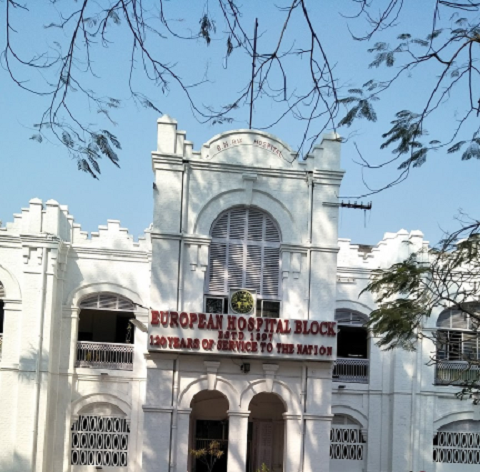
Kharagpur () is a semi- planned urban agglomeration and a major industrial city in the Paschim Medinipur district of West Bengal, India. It is the headquarters of the Kharagpur subdivision and the largest city of the district. It is located 120 km west of Kolkata. Kharagpur holds the oldest and biggest Indian Institute of Technology namely IIT Kharagpur. It has one of the largest railway workshops in India. Kharagpur Junction contains the fourth longest railway platform in the world (1072.5 m) and is the headquarter of the Kharagpur Division of the South Eastern Railways. History Kharagpur received its name from the twelfth king of the Mallabhum dynasty, Kharga Malla, when he conquered it. Kharagpur was a part of the Hijli Kingdom and ruled by Hindu Odia rulers as a feudatory under Gajapati Kings of Odisha. Historians claim that in the 16th century, Kharagpur was still a small village surrounded by dense forests. The village was on high rocky barren land. The ... [...More Info...] [...Related Items...] OR: [Wikipedia] [Google] [Baidu] |
Habra
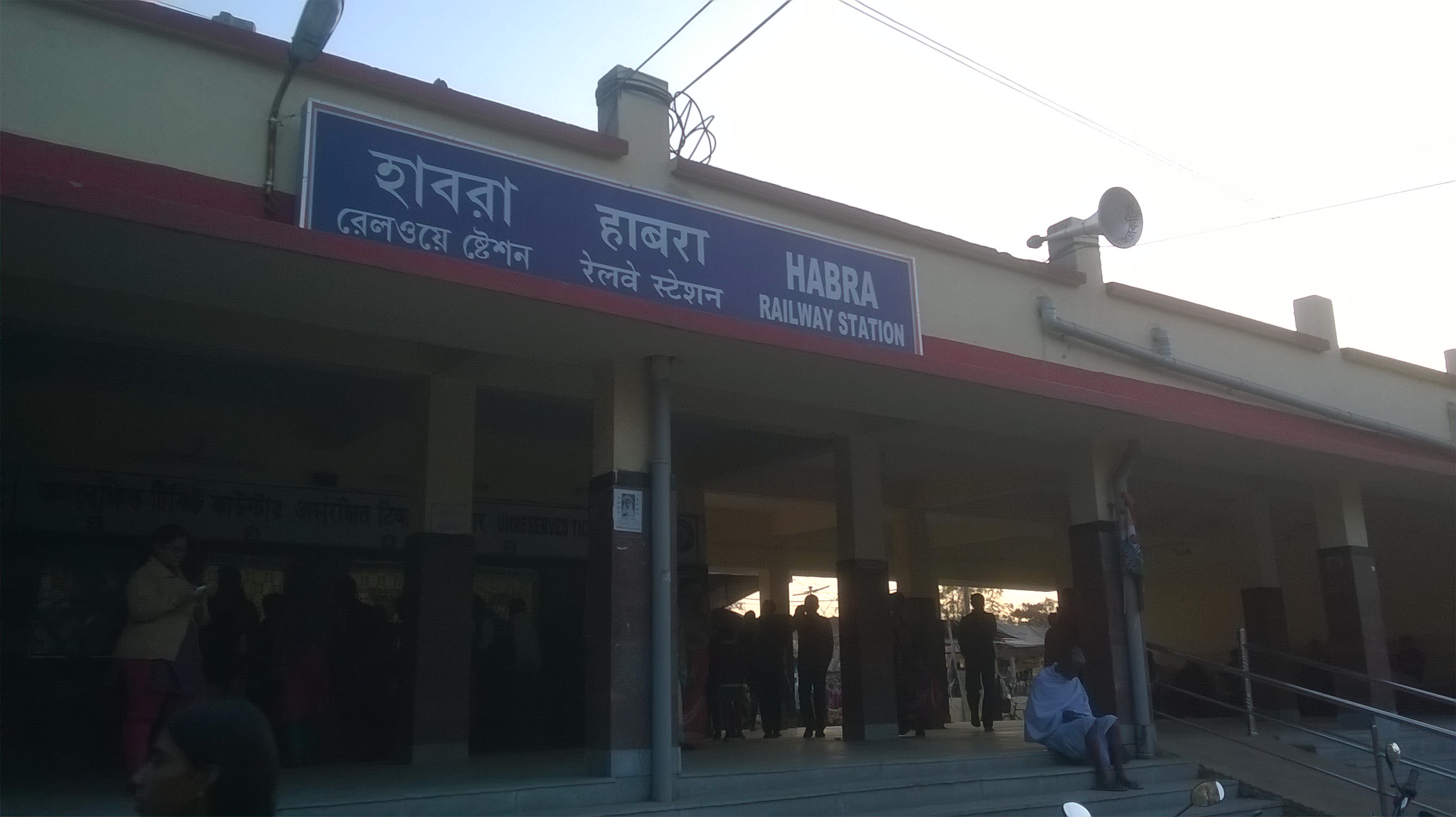
Habra is a city and a municipality in Barasat sadar subdivision of North 24 Parganas district in the Indian state of West Bengal. Geography Location Habra is located at . It has an average elevation of 13 metres (42 feet). Area overview The area covered in the map alongside is largely a part of the north Bidyadhari Plain. located in the lower Ganges Delta. The country is flat. It is a little raised above flood level and the highest ground borders the river channels. 54.67% of the people of the densely populated area lives in the urban areas and 45.33% lives in the rural areas. Note: The map alongside presents some of the notable locations in the subdivision. All places marked in the map are linked in the larger full screen map. Demographics According to the 2011 Census of India, Habra had a total population of 147,221, of which 74,592 (51%) were males and 72,629 (49%) were females. Population in the age range 0–6 years was 11,696. The total number of litera ... [...More Info...] [...Related Items...] OR: [Wikipedia] [Google] [Baidu] |


