|
List Of Hindu Temples In Malaysia
This is a list of Hindu temples in Malaysia. Federal territories Kuala Lumpur * Sri Kshemankhari Durgai Amman Alayam, Taman Kepong Baru Tambahan * Sri Navagraha Nayagi Durgai Amman Alayam – Kepong, Taman Sri Sinar * Sri Veera Muniswarar Alayam, Batu 5, Jalan Ipoh * Sri Paranjothi Vinayagar Temple, Jalan Ipoh * Sri Maha Mariamman Temple, Jalan Tun H. S. Lee * Sri Ganesar Aalayam, Kampong Pandan * Sri Aiynareeswarar Temple, Taman Melawati, Setapak * Sri Maha Mariamman Temple, Sri Segambut, Taman Cuepecs * Sri Karumariamman Temple, Jalan Sentul * Sri Nageswary Amman Temple, Bangsar * Sri Maha Kaliamman Temple, Jalan Kasipillay, Jalan Ipoh * Sri Kamakshi Ambal Alayam, Jalan Bukit Bangsar Off Lorong Maarof, Bangsar * Sri Arulmigu Devi Sri Raja Kaliamman Kovil, Brickfields * Angkasapuri Sri Maha Kaliamman Alayam * Kuil Sri Kamatchi Amman Aalayam, Jalan Perkasa Satu, Taman Maluri, Cheras * Sri Thohaiyadi Vinayagar Kovil, Jalan Cheras * Sri Kandaswamy Kovil – Scott Road, Brickfield ... [...More Info...] [...Related Items...] OR: [Wikipedia] [Google] [Baidu] |
Hindu Temple
A Hindu temple, or ''mandir'' or ''koil'' in Indian languages, is a house, seat and body of divinity for Hindus. It is a structure designed to bring human beings and gods together through worship, sacrifice, and devotion.; Quote: "The Hindu temple is designed to bring about contact between man and the gods" (...) "The architecture of the Hindu temple symbolically represents this quest by setting out to dissolve the boundaries between man and the divine". The symbolism and structure of a Hindu temple are rooted in Vedic traditions, deploying circles and squares. It also represents recursion and the representation of the equivalence of the macrocosm and the microcosm by astronomical numbers, and by "specific alignments related to the geography of the place and the presumed linkages of the deity and the patron". A temple incorporates all elements of the Hindu cosmos — presenting the good, the evil and the human, as well as the elements of the Hindu sense of cyclic time and th ... [...More Info...] [...Related Items...] OR: [Wikipedia] [Google] [Baidu] |
Bayan Lepas
Bayan Lepas is a town in the Malaysian state of Penang. It is located within the Southwest Penang Island District, near the southeastern tip of Penang Island. Founded in the 19th century, Bayan Lepas has various industries. History Bayan Lepas was believed to have been named after a wealthy Sumatran family who founded the town in the late 19th century. Upon coming ashore, their parakeet escaped, and was given the name Bayan Lepas, which meant 'escaped parakeet' in Malay. The "old town" Bayan Lepas is located at the intersection of Jalan Bayan Lepas and Jalan Dato Ismail Hashim, to the west of the Penang International Airport. The British also built a fortification at nearby Batu Maung to defend Penang Island and the RAF Butterworth Air Base on the mainland against amphibious invasion. However, the fort was abandoned after the advancing Imperial Japanese Army during World War II. Until the 1970s, Bayan Lepas was a relatively rural village, with rice farming being the main ... [...More Info...] [...Related Items...] OR: [Wikipedia] [Google] [Baidu] |
Balik Pulau
Balik Pulau is a town within the jurisdiction of Penang Island City Council in the Malaysian state of Penang. Located at the southwest of Penang Island, it is also the administrative seat of the Southwest Penang Island District. The agricultural town of Balik Pulau was established in 1794 by the British East India Company. To this day, the economy of Balik Pulau still relies heavily on agriculture; Penang's most famous produce, including nutmegs, cloves and durians, are grown and harvested in the town. These have also contributed to the town's growing tourism sector; Balik Pulau's reputation for its wide variety of durians, for instance, attracts hordes of tourists between May and August each year. While Balik Pulau, and by extension, the western part of Penang Island, is generally seen as quieter in comparison to the bustling city centre on the other side of the island, urbanisation has also reached the town in recent years, with more residential developments being planned for ... [...More Info...] [...Related Items...] OR: [Wikipedia] [Google] [Baidu] |
Teluk Bahang
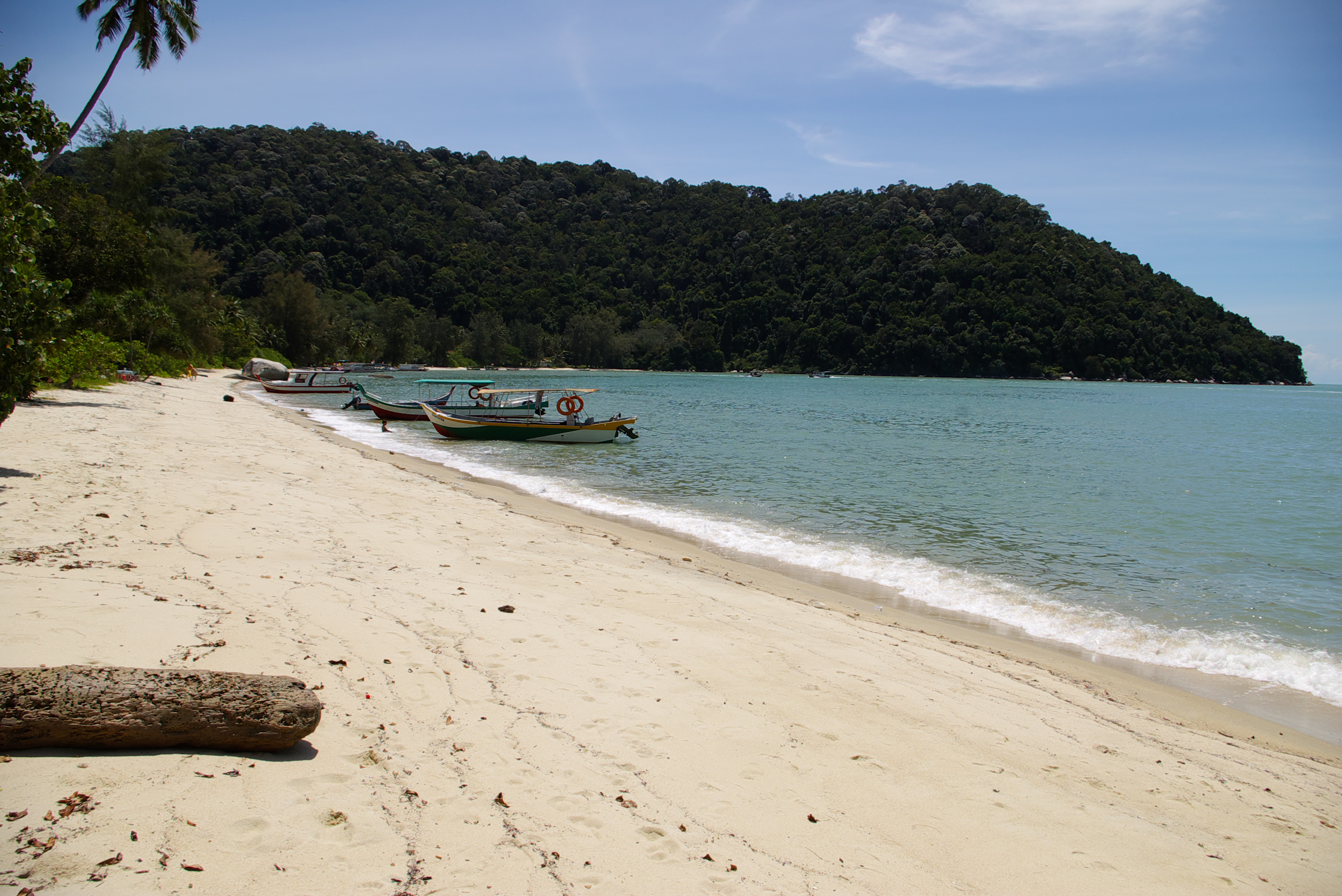
Teluk Bahang is a town within the city of George Town in the Malaysian state of Penang. It is located within the Southwest Penang Island District, near the northwestern tip of Penang Island. Established as a fishing village, Teluk Bahang has evolved into a tourist destination, with a number of attractions built within the vicinity of the town. Notably, it is also home to the Teluk Bahang Dam, the largest reservoir on Penang Island. Teluk Bahang Forest Reserve is part of Penang Hill Biosphere Reserve, recognized by UNESCO as the third Biosphere Reserve in Malaysia listed in the World Network of Biosphere Reserve (WNBR). Etymology Teluk Bahang literally means 'the bay of heat' in Malay. It was named as such due to the high temperature of the incoming sea breeze at the area. History Teluk Bahang was founded as an agricultural village, where fishing provided subsistence for the village's residents. In the latter half of the 20th century, the town was developed into a tourist de ... [...More Info...] [...Related Items...] OR: [Wikipedia] [Google] [Baidu] |
Tanjung Bungah
Tanjung Bungah (also spelt as ''Tanjong Bungah'') is a suburb of George Town in Penang, Malaysia. It is located along the northern coast of Penang Island between Batu Ferringhi and Tanjung Tokong, and about northwest of the city centre. Tanjung Bungah is well known as a beach destination, with several hotels and resorts lining the beaches within the area. Decades of urbanisation has also led to the mushrooming of residential high-rises at Tanjung Bungah. In addition, the suburb is home to a significant expatriate population; foreigners made up 5.7% of Tanjung Bungah's population . A number of Royal Australian Air Force servicemen used to reside here while being stationed in Penang in the 1960s and 70s. Due to its location along the northern coast of Penang Island, Tanjung Bungah was hard hit by the 2004 Indian Ocean tsunami. Etymology Tanjung Bungah, which means Flower Cape in Malay, was so named due to the several smaller promontories that jut out to the sea along the ca ... [...More Info...] [...Related Items...] OR: [Wikipedia] [Google] [Baidu] |
Tanjung Tokong
Tanjung Tokong is a suburb of George Town in Penang, Malaysia. It is located along the northeastern coast of Penang Island, next to Pulau Tikus and northwest of the city centre. Over the recent decades, the former fishing village has been transformed into an upper class residential suburb of George Town, with high-rises such as Straits Quay lining the coast. The area had already been inhabited for decades prior to Captain Francis Light's founding of Penang Island in 1786. Tanjung Tokong was believed to be the site of the first Chinese settlement on Penang Island. Up until the 1970s, Tanjung Tokong was a fishing village; rapid urbanisation soon followed, with residential high-rises now lining the coast. At present, the reclamation of land is ongoing off the shores of Tanjung Tokong, creating a new township – Seri Tanjung Pinang. Due to its location along the northern coast of Penang Island, Tanjung Tokong was hard hit by the 2004 Indian Ocean tsunami. History In the mid ... [...More Info...] [...Related Items...] OR: [Wikipedia] [Google] [Baidu] |
Mount Erskine
Mount Erskine is a residential neighbourhood within the city of George Town in Penang, Malaysia. This hilly neighbourhood, northwest of the city centre, is situated between the Tanjung Tokong and Pulau Tikus suburbs to the north and to the south respectively. Notable for its large Chinese cemeteries established by the Cantonese, Teochew and Hokkien communities on Penang Island, the neighbourhood witnesses a considerable increase in activity during the annual Qingming Festival. Etymology Mount Erskine was named after John James Erskine, a member of George Town's committee of assessors around 1810; this committee would become the predecessor to the present-day Penang Island City Council. History The Chinese cemeteries in the area date back to the early 19th century. The southern cemetery, nearest to Gottlieb Road, is managed by the United Hokkien Cemeteries and serves as the final resting place for Penang's Hokkien community. Meanwhile, the northern cemetery is owned by t ... [...More Info...] [...Related Items...] OR: [Wikipedia] [Google] [Baidu] |
Paya Terubong
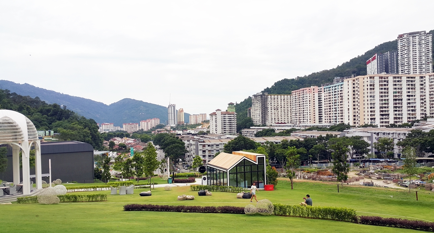
Paya Terubong is a suburb of George Town in Penang, Malaysia. Located nearly southwest of the city centre, it is nestled within the central valleys of Penang Island and south of Air Itam. It is also one of the most densely populated areas on Penang Island. Paya Terubong first came into existence as an agricultural village. High-rise residences began to be built in the area in the 1980s, transforming Paya Terubong into a residential area. Etymology Paya Terubong was named after a species of grass known in Malay as ''terubong''. Its scientific name is ''Cyrtococcum oxyphyllum''. History Similar to Air Itam to the north, Paya Terubong was where agricultural farms were established, providing spices and vegetables to be traded in markets elsewhere on Penang Island. In the past, Paya Terubong Road was merely a hill path. The area was only developed in the 1980s with the construction of residential high-rises to alleviate land scarcity on Penang Island. Hill slopes were cleared ... [...More Info...] [...Related Items...] OR: [Wikipedia] [Google] [Baidu] |
Penang Hill
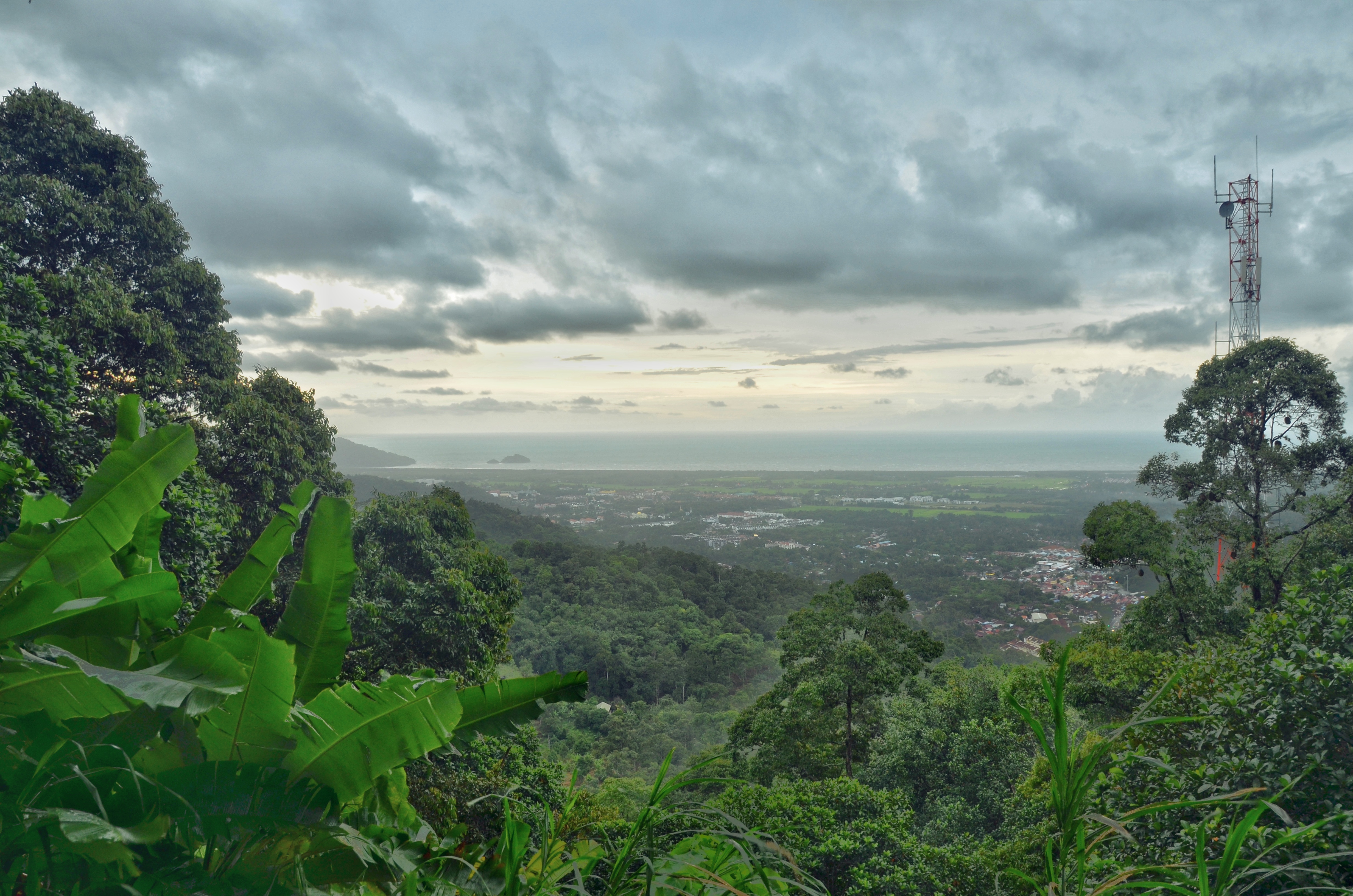
Penang Hill is a hill resort comprising a group of peaks near the center of Penang Island, Malaysia. It is located within the Air Itam suburb, west of the center of George Town. Penang Hill is also known by the Malay name ''Bukit Bendera'', which actually refers to Flagstaff Hill, the most developed peak. One of the peaks is known as Strawberry Hill, which was also the name of a house owned by Francis Light, founder of Penang colony. A number of hills are covered by Penang Hill, with the highest point being Western Hill that stands at an altitude of 833 meters (2,733 feet) above sea level. Penang Hill is a hilly and forested area that stands out from the lowlands of Malaysia by being hilly and wooded. The area was used as a retreat during the British colonial period, and is now a very popular tourist destination due to its history and heritage. The top of Flagstaff Hill, the most developed tourist area, is accessible via the Penang Hill Railway from its base station at Hil ... [...More Info...] [...Related Items...] OR: [Wikipedia] [Google] [Baidu] |
Air Itam
Ayer Itam (also spelt Air Itam or Air Hitam) is a suburb of George Town in Penang, Malaysia. Nested within the central valleys of Penang Island, it is located approximately southwest of the city centre. Ayer Itam is one of the well-known places to sample Penang cuisine, and includes a handful of major tourist attractions such as Penang Hill and Kek Lok Si Temple. The area now known as Ayer Itam was first developed in the late 18th century, soon after the founding of Penang Island by Captain Francis Light in 1786. British officials intended to turn Ayer Itam, including Penang Hill, into an agricultural area and established spice farms. To this day, fruits and vegetables are still grown at the hills of Ayer Itam; fresh produce are then brought downhill daily to the wet markets throughout George Town. Etymology Air Itam got its name from the murky waters of the Air Itam River (Malay: ''Sungai Air Itam''). The phrase Air Hitam''' means black water in Malay. History Soon af ... [...More Info...] [...Related Items...] OR: [Wikipedia] [Google] [Baidu] |
Nattukkottai Chettiar Temple, Penang
The Nattukkottai Chettiar Temple (Tamil:நாட்டுக்கோட்டை செட்டியார் ஆலயம்) is a temple of the Chettiar community in Penang, Malaysia Malaysia ( ; ) is a country in Southeast Asia. The federation, federal constitutional monarchy consists of States and federal territories of Malaysia, thirteen states and three federal territories, separated by the South China Sea into two r .... Its full name is Nattukkottai Chettiar Thendayuthapani Temple, also called the Arulmigu Thandayuthapani Temple. The procession of silver chariot during Thaipusam eve ends here. References Hindu temples in Malaysia Religious buildings and structures in Penang Tourist attractions in George Town, Penang {{Malaysia-religious-struct-stub ... [...More Info...] [...Related Items...] OR: [Wikipedia] [Google] [Baidu] |


.jpg)


