|
List Of Florida Hurricanes (1950–1974)
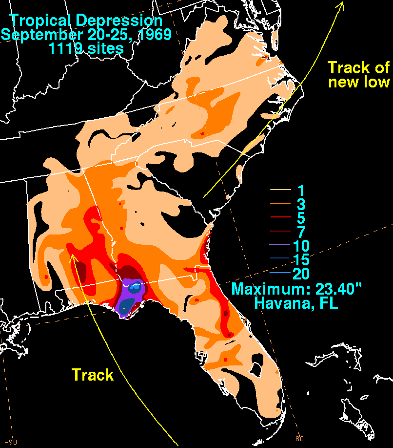
The list of Florida storms from 1950 to 1974 encompasses 85 Atlantic tropical or subtropical cyclones that affected the U.S. state of Florida. Collectively, tropical cyclones in Florida during the time period resulted in about $7.04 billion (2017 USD) in damage, primarily from Hurricanes Donna and Dora. Additionally, tropical cyclones in Florida were directly responsible for 93 fatalities during the period, as well as responsible for 23 indirect deaths. Several tropical cyclones produced over 20 inches (500 mm) of rainfall in the state, including Hurricane Easy which is the highest total during the time period. The 1969 season was the year with the most tropical cyclones affecting the state, with a total of 8 systems. The 1954 and 1967 seasons were the only years during the time period in which a storm did not affect the state. The strongest hurricane to hit the state during the time period was Hurricane Donna in 1960, which was the 8th strongest hurri ... [...More Info...] [...Related Items...] OR: [Wikipedia] [Google] [Baidu] |
Florida Hurricane (1950-1974) Tracks
The List of Florida hurricanes encompasses approximately 500 tropical or subtropical cyclones that affected the state of Florida. More storms hit Florida than any other U.S. state, and since 1851 only eighteen hurricane seasons passed without a known storm impacting the state. Collectively, cyclones that hit the region have resulted in over 10,000 deaths, most of which occurred prior to the start of hurricane hunter flights in 1943. Additionally, the cumulative impact from the storms has totalled over US$216.1 billion in damage (2018 dollars), primarily from Hurricane Andrew, Hurricane Irma and Hurricane Michael in the 1992, 2017, and 2018 seasons respectively. The most recent hurricane to make landfall in Florida was Nicole in 2022. Climatology Tropical cyclones have affected Florida in every month of the year with the exceptions of January and March. Nearly one-third of the cyclones affected the state in September, and nearly three-fourths of the storms affec ... [...More Info...] [...Related Items...] OR: [Wikipedia] [Google] [Baidu] |
Florida Panhandle
The Florida Panhandle (also West Florida and Northwest Florida) is the northwestern part of the U.S. state of Florida; it is a Salient (geography), salient roughly long and wide, lying between Alabama on the north and the west, Georgia (U.S. state), Georgia on the north, and the Gulf of Mexico to the south. Its eastern boundary is arbitrarily defined. In terms of population, major communities include Tallahassee, Florida, Tallahassee, Pensacola, Florida, Pensacola, and Panama City, Florida, Panama City. As is the case with the other eight U.S. states that have Salient (geography)#Panhandles in the United States, panhandles, the geographic meaning of the term is inexact and elastic. References to the Florida Panhandle always include the ten List of counties in Florida, counties west of the Apalachicola River, a natural geographic boundary, which was the historic dividing line between the British colonies of West Florida and East Florida. These western counties also lie in t ... [...More Info...] [...Related Items...] OR: [Wikipedia] [Google] [Baidu] |
Hurricane Able (1952)
Hurricane Able was the only hurricane to make landfall in the United States in the 1952 season. Forming on August 18 off the west coast of Africa, Able moved generally west- to west-northwestward for much of its duration. It was first observed by the Hurricane Hunters on August 25 to the north of the Lesser Antilles. Two days later, Able attained hurricane status, and on August 30 it turned sharply to the north-northwest in response to a cold front. The hurricane reached peak winds of just prior to moving ashore near Beaufort, South Carolina on August 31. Although it quickly weakened below hurricane force, Able maintained tropical storm force for almost two days over land, eventually dissipating over Maine on September 2. The threat of the storm prompted hurricane warnings in the southeastern United States, resulting in the evacuation of tourists on Labor Day Weekend. Able produced heavy rainfall from Florida through New England, which caused widespread ... [...More Info...] [...Related Items...] OR: [Wikipedia] [Google] [Baidu] |
Cape Sable
Cape Sable is the southernmost point of the United States mainland and mainland Florida. It is located in southwestern Florida, in Monroe County, and is part of the Everglades National Park. The cape is a peninsula issuing from the southeastern part of the Florida mainland, running west and curving around to the north, reaching Ponce de Leon Bay, at the mouth of the Shark River. It forms the southern and western margins of Whitewater Bay. There are three prominent points on the cape, each of which hosts a designated backcountry campsite: * East Cape, which is the actual southernmost point of the Florida and United States mainland and the location of Lake Ingraham, the southernmost lake in the United States of America; * Middle Cape, also known as Palm Point; and * Northwest Cape. The campsites are part of the "outside route" of the Everglades Wilderness Waterway, with permits required for an overnight stay, obtained from the Flamingo Visitor Center.The cape also has many lake ... [...More Info...] [...Related Items...] OR: [Wikipedia] [Google] [Baidu] |


