|
List Of Tunnels In Canada
This list of tunnels in Canada includes any road, rail or waterway tunnel in Canada. Alberta * 97 Avenue Tunnel, Edmonton, under Alberta Legislature Grounds * Airport Tunnel, Calgary under Calgary International Airport *Edmonton Radial Railway Society Tunnel (Old CPR Rail Tunnel), Edmonton under 109 Street. British Columbia Road tunnels: *Cassiar Tunnel, Vancouver * Elko Tunnel, near Fernie * Fraser Canyon Tunnels **''Saddle Rock Tunnel'' **''Sailor Bar Tunnel'' **''Hell's Gate'' **''China Bar Tunnel'' **''Yale Tunnel'' **''Alexandra Tunnel'' **''Ferrabee Tunnel'' *George Massey Tunnel, Vancouver * Iron Gates Tunnel, near Radium Hot Springs Railway tunnels: * Big Hill Spiral Tunnels *Bulldog Tunnel, West Kootenay *Connaught Tunnel, under Selkirk Mountains *Dunsmuir Tunnel, Vancouver * Esquimalt and Nanaimo Railway Tunnel, located between Langford and Malahat *Lonsdale Tunnel, Vancouver *Mount Macdonald Tunnel, near Rogers Pass * Quintette Tunnels, near Hope * Thornton T ... [...More Info...] [...Related Items...] OR: [Wikipedia] [Google] [Baidu] |
Tunnel
A tunnel is an underground passageway, dug through surrounding soil, earth or rock, and enclosed except for the entrance and exit, commonly at each end. A pipeline is not a tunnel, though some recent tunnels have used immersed tube construction techniques rather than traditional tunnel boring methods. A tunnel may be for foot or vehicular road traffic, for rail traffic, or for a canal. The central portions of a rapid transit network are usually in the tunnel. Some tunnels are used as sewers or aqueducts to supply water for consumption or for hydroelectric stations. Utility tunnels are used for routing steam, chilled water, electrical power or telecommunication cables, as well as connecting buildings for convenient passage of people and equipment. Secret tunnels are built for military purposes, or by civilians for smuggling of weapons, contraband, or people. Special tunnels, such as wildlife crossings, are built to allow wildlife to cross human-made barriers safely. ... [...More Info...] [...Related Items...] OR: [Wikipedia] [Google] [Baidu] |
Big Hill
The Big Hill on the Canadian Pacific Railway main line in British Columbia, Canada, was the most difficult piece of railway track on the Canadian Pacific Railway's route. It was situated in the rugged Canadian Rockies west of the Continental Divide of the Americas and Kicking Horse Pass. Even though the Big Hill was replaced by the Spiral Tunnels in 1909, the area has long been a challenge to the operation of trains and remains so to this day. Construction To complete the Pacific railway as quickly as possible, a decision was made to delay blasting a lengthy tunnel through Mount Stephen and instead build a temporary line over it. Instead of the desired 2.2% grade (116 feet to the mile) a steep 4.5% (some sources say 4.4%) grade was built in 1884. This was one of the steepest adhesion railway lines anywhere. (4.5% = 1 in 22.22). It descended from Wapta Lake to the base of Mount Stephen, along the Kicking Horse River to a point just west of Field, then rose again to meet the origi ... [...More Info...] [...Related Items...] OR: [Wikipedia] [Google] [Baidu] |
Hope, British Columbia
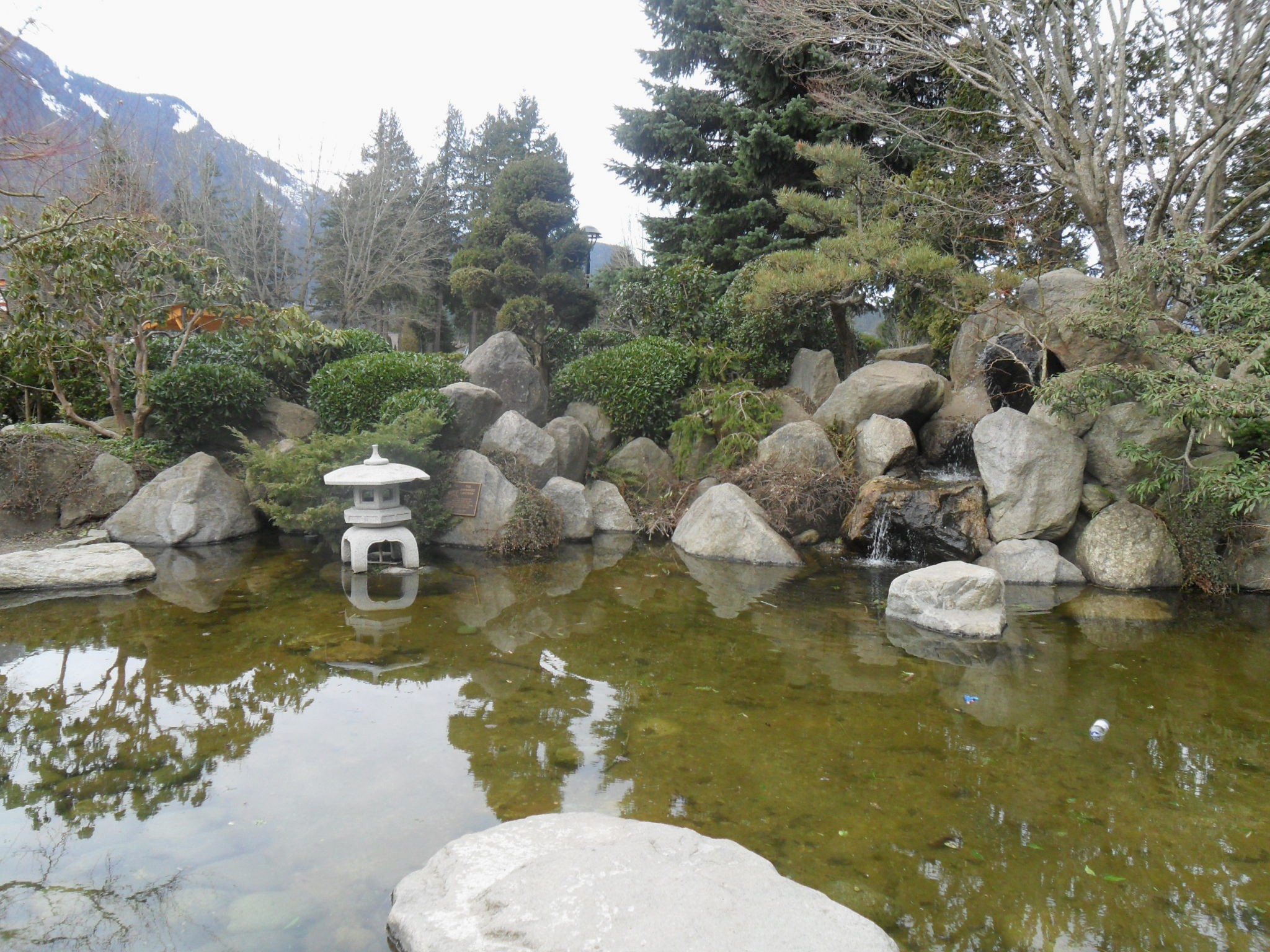
Hope is a district municipality at the confluence of the Fraser and Coquihalla rivers in the province of British Columbia, Canada. Hope is at the eastern end of both the Fraser Valley and the Lower Mainland region, and is at the southern end of the Fraser Canyon. To the east, over the Cascade Mountains, is the Interior region, beginning with the Similkameen Country on the farther side of the Allison Pass in Manning Park. Located east of Vancouver, Hope is at the southern terminus of the Coquihalla Highway and the western terminus of the Crowsnest Highway, locally known as the Hope-Princeton (Highways 5 and 3, respectively), where they merge with the Trans-Canada Highway ( Highway 1). Hope is at the eastern terminus of Highway 7. As it lies at the eastern end of the Fraser Valley in the windward Cascade foothills, the town gets very high amounts of rain and cloud cover – particularly throughout the autumn and winter. Hope is a member municipality of the Fraser Valley Reg ... [...More Info...] [...Related Items...] OR: [Wikipedia] [Google] [Baidu] |
Othello Tunnels
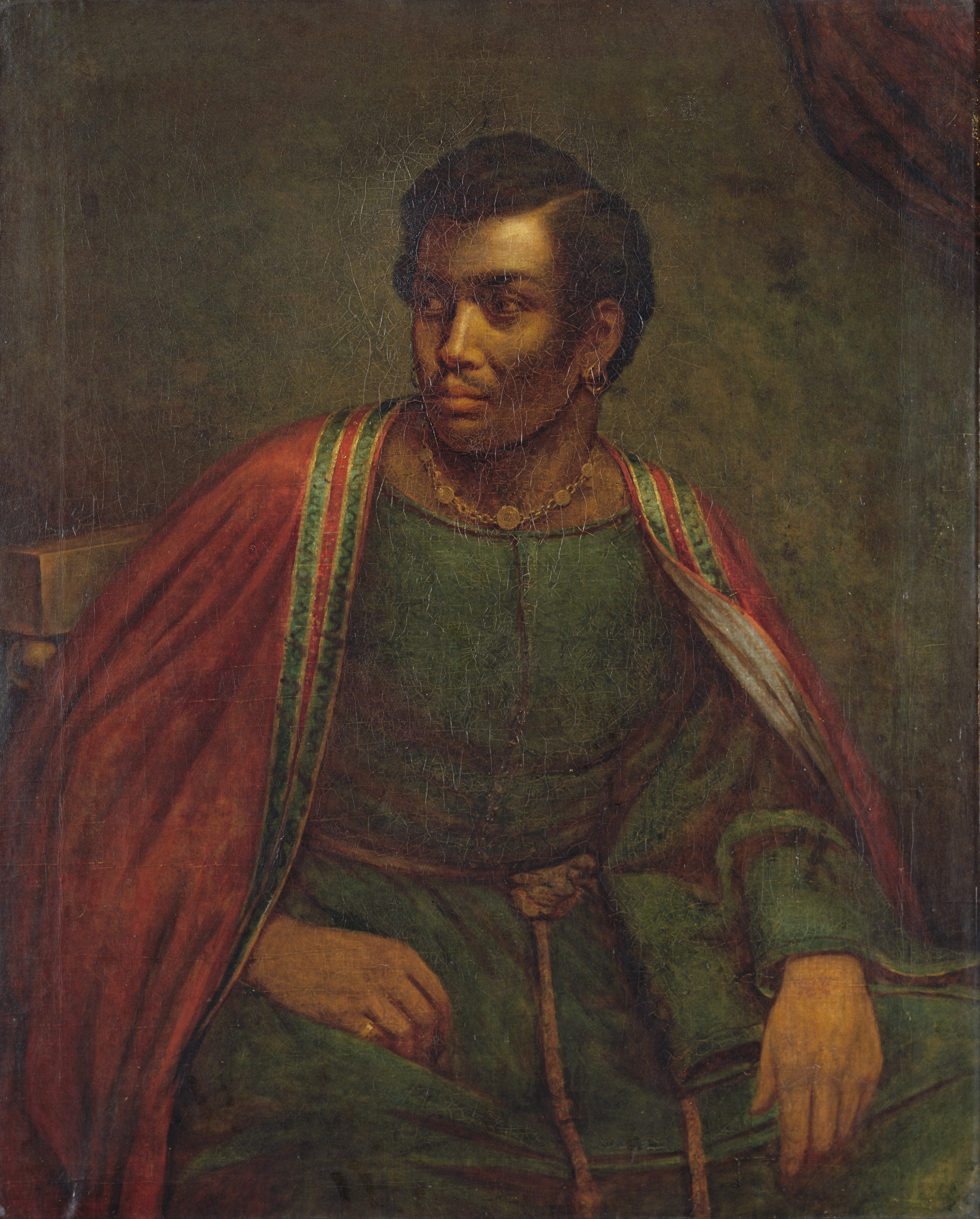
''Othello'' (full title: ''The Tragedy of Othello, the Moor of Venice'') is a tragedy written by William Shakespeare, probably in 1603, set in the contemporary Ottoman–Venetian War (1570–1573) fought for the control of the Island of Cyprus, a possession of the Venetian Republic since 1489. The port city of Famagusta finally fell to the Ottomans in 1571 after a protracted siege. The story revolves around two characters, Othello and Iago. Othello is a Moorish military commander who was serving as a general of the Venetian army in defence of Cyprus against invasion by Ottoman Turks. He has recently married Desdemona, a beautiful and wealthy Venetian lady much younger than himself, against the wishes of her father. Iago is Othello's malevolent ensign, who maliciously stokes his master's jealousy until the usually stoic Moor kills his beloved wife in a fit of blind rage. Due to its enduring themes of passion, jealousy, and race, ''Othello'' is still topical and popular and is wi ... [...More Info...] [...Related Items...] OR: [Wikipedia] [Google] [Baidu] |
Rogers Pass (British Columbia)
Rogers Pass is a high mountain pass through the Selkirk Mountains of British Columbia, but the term also includes the approaches used by the Canadian Pacific Railway (CP) and the Trans-Canada Highway. In the heart of Glacier National Park, this tourism destination since 1886 is a National Historic Site. Topography Rogers Pass is the lowest route between the Sir Donald and Hermit ranges of the Selkirks, providing a shortcut along the southern perimeter of the Big Bend of the Columbia River from Revelstoke on the west to Donald, near Golden, British Columbia, Golden, on the east. The pass is formed by the headwaters of the Illecillewaet River to the west and by the Beaver River (Columbia River), Beaver River to the east. These rivers are tributaries of the Columbia, which arcs to the north. Railway Proposal & planning During the 1870s, when the transcontinental was being planned, the preferred route through the Canadian Rockies was the northerly Yellowhead Pass. After awarding ... [...More Info...] [...Related Items...] OR: [Wikipedia] [Google] [Baidu] |
Mount Macdonald Tunnel
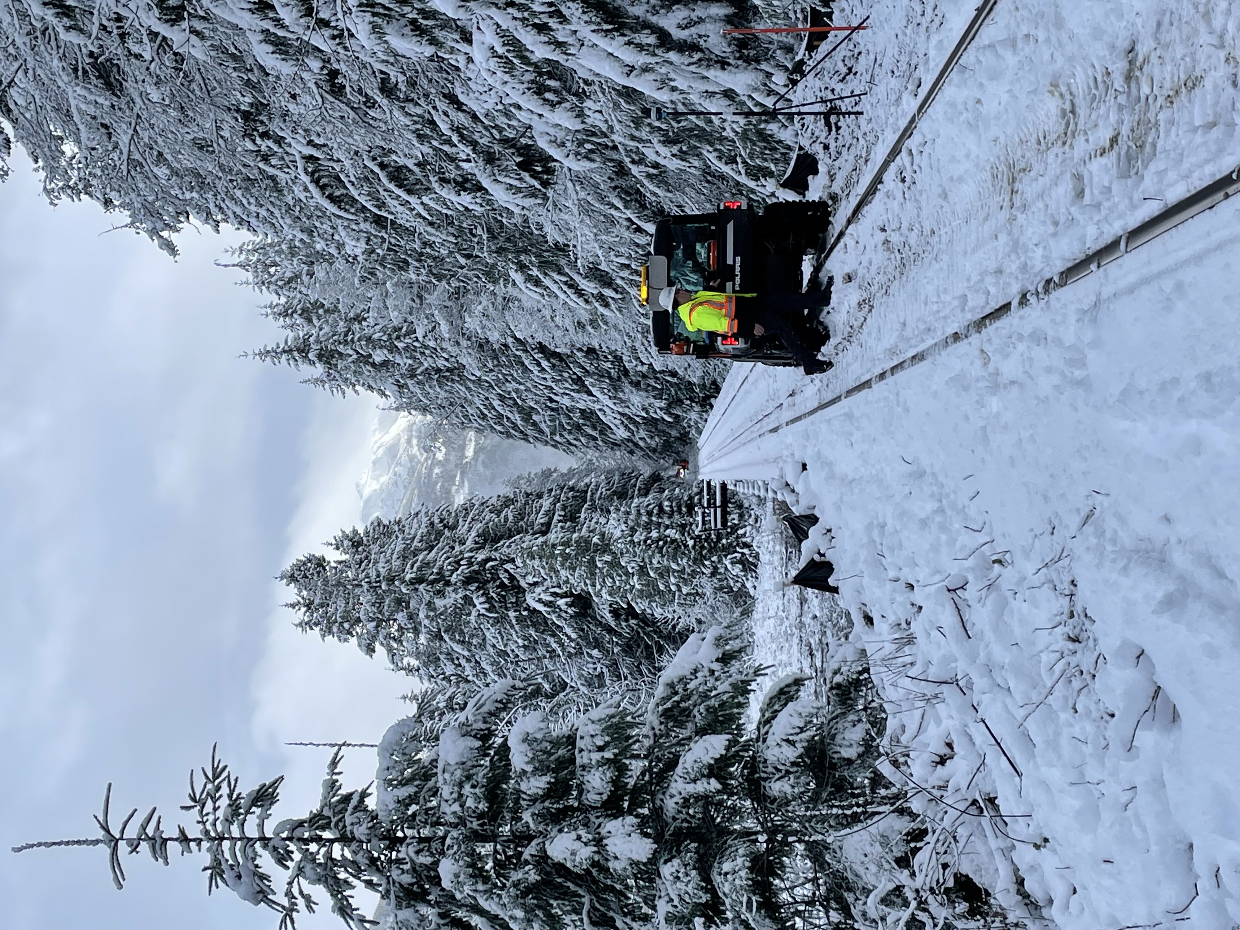
The Mount Macdonald Tunnel is in southeastern British Columbia, on the Revelstoke–Donald segment. This single-track tunnel, which carries the Canadian Pacific Railway (CP) main line under Mount Macdonald in the Selkirk Mountains, handles most westbound traffic, whereas the Connaught Tunnel handles mostly eastbound. Shortcomings of the Connaught Track By the 1970s, it was evident that the Connaught Tunnel alone could not meet the increasing traffic demands. The major growth opportunities were primarily in the bulk commodities of coal, sulfur, and potash. In 1980, the estimated construction cost of $300 million was almost 20 per cent of CP's gross income for 1979. Furthermore, westbound grain transportation had been an ongoing liability for the railways. Consequently, CP was unwilling to proceed with a new tunnel unless the Crow Rate, which did not cover the variable cost of grain movement, was addressed. In response, the federal government gradually increased this rate from 198 ... [...More Info...] [...Related Items...] OR: [Wikipedia] [Google] [Baidu] |
Lonsdale Tunnel
The Lonsdale Tunnel is a freight railway tunnel in North Vancouver, British Columbia, running under Lonsdale Avenue and parallel to Esplanade Ave between St. Georges and Chesterfield Ave. It was built by the Vancouver Harbour and Wharves Commission, from 1928 on, to separate industrial freight from traffic and street cars on Lonsdale Ave and connect the Pacific Great Eastern Railway to the new Second Narrows Bridge The Second Narrows Rail Bridge is a vertical-lift railway bridge that crosses the Burrard Inlet and connects Vancouver with the North Shore. The bridge's south end connects directly to the Thornton Tunnel, which connects it to the main Ca .... References Railway tunnels in British Columbia Buildings and structures in Greater Vancouver Transport in North Vancouver (city) Tunnels in Greater Vancouver Canadian National Railway tunnels {{BritishColumbia-transport-stub ... [...More Info...] [...Related Items...] OR: [Wikipedia] [Google] [Baidu] |
Malahat, British Columbia
Malahat () is an unincorporated area in the Cowichan Valley, with municipal-type services delivered by the Cowichan Valley Regional District (Area A). What could be considered the hub of the community is a small collection of businesses that includes the Malahat Gas station (which also serves as the Malahat Post Office) and the Malahat Chalet and the Moon Water Lodge. A steep and rugged terrain has in the past precluded any significant residential development but new subdivisions are being built around the northern end of the area around the old Bamberton cement works and in the area adjoining Elkington Forest. Most area residents live in isolated homes located off the highway. In this context "Malahat" primarily refers to the Canada Post delivery district. Fire protection to the Malahat area is provided by Malahat Fire Rescue. "The Malahat" is a term commonly applied to the Malahat Drive, a portion of Trans Canada Highway 1 running along the west side of Saanich Inlet a ... [...More Info...] [...Related Items...] OR: [Wikipedia] [Google] [Baidu] |
Langford, British Columbia
Langford is a city on southern Vancouver Island in the province of British Columbia, Canada. Langford is one of the 13 component municipalities of Greater Victoria and is within the Capital Regional District. Langford was incorporated in 1992 and has a population of over 40,000 people. Its municipal neighbours are Colwood to the southeast, Highlands to the north, Metchosin to the southwest, and View Royal to the northeast. History The City of Langford was incorporated on December 8, 1992. Langford's history of European settlement dates back to 1851, when Captain Edward Langford established one of the four Hudson's Bay Company farms in the Victoria area. In the early 1860s, the region of Langford experienced a short-lived gold rush in what is now Goldstream Provincial Park. The area was once a favourite recreation destination for thousands of Victorians in the late 1800s: day-trippers travelled via railway to the popular country resort Goldstream House Hotel; hunters built thei ... [...More Info...] [...Related Items...] OR: [Wikipedia] [Google] [Baidu] |
Southern Railway Of Vancouver Island
The Island Rail Corridor, previously the Esquimalt & Nanaimo Railway (E&N Railway), is a railway operation on Vancouver Island and is the only remaining railway on Vancouver Island after the closure of the Englewood Railway in November 2017. The Island Corridor Foundation owns the former Esquimalt & Nanaimo Railway corridor. The railway line is in length from Victoria to Courtenay, known as the Victoria Subdivision, with a branch line from Parksville to Port Alberni known as the Port Alberni Subdivision at in length, for a total of mainline track. In 2006, the Island Corridor Foundation acquired the railway's ownership from the Canadian Pacific Railway. Both freight service and the crown corporation VIA Rail passenger service have been suspended due to deferred maintenance on the rail line. History Vancouver Island joining Canada The history of an island railway and a functioning island railway in perpetuity, started with the colony of Vancouver Island joining British ... [...More Info...] [...Related Items...] OR: [Wikipedia] [Google] [Baidu] |
Dunsmuir Tunnel
The Dunsmuir Tunnel is a subway tunnel below Dunsmuir Street in Vancouver, British Columbia, Canada. The tunnel is used by the Expo Line of Metro Vancouver's SkyTrain rapid transit system. It is located downtown and has Burrard and Granville stations built within the tunnel. The western tunnel portal is located midway between Waterfront and Burrard stations, while the eastern portal is adjacent to Stadium–Chinatown station. History The tunnel was originally built by the Northern Construction Company to connect the Canadian Pacific Railway railyards on Burrard Inlet and False Creek at a cost of $1.6 million. It opened on July 17, 1932, and was built to a height of and a depth of below street level. The tunnel's original east portal was located further south than the current portal, easing trains into the False Creek yards on a gentle southward curve. It was clearly visible until about 2005, where it was almost completely hidden next to an outdoor storage area behind th ... [...More Info...] [...Related Items...] OR: [Wikipedia] [Google] [Baidu] |
Selkirk Mountains
The Selkirk Mountains are a mountain range spanning the northern portion of the Idaho Panhandle, eastern Washington, and southeastern British Columbia which are part of a larger grouping of mountains, the Columbia Mountains. They begin at Mica Peak and Krell Hill near Spokane and extend approximately 320 km north (200 miles) from the border to Kinbasket Lake, at the now-inundated location of the onetime fur company post Boat Encampment. The range is bounded on its west, northeast and at its northern extremity by the Columbia River, or the reservoir lakes now filling most of that river's course. From the Columbia's confluence with the Beaver River, they are bounded on their east by the ''Purcell Trench'', which contains the Beaver River, Duncan River, Duncan Lake, Kootenay Lake and the Kootenay River. The Selkirks are distinct from, and geologically older than, the Rocky Mountains. The neighboring Monashee and Purcell Mountains, and sometimes including the Cariboo Mounta ... [...More Info...] [...Related Items...] OR: [Wikipedia] [Google] [Baidu] |


