|
List Of Shipwrecks In January 1917
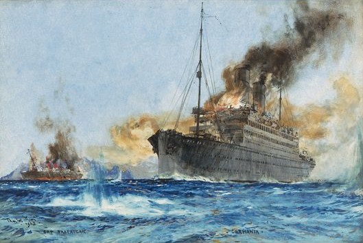
The list of shipwrecks in January 1917 includes ship A ship is a large watercraft that travels the world's oceans and other sufficiently deep waterways, carrying cargo or passengers, or in support of specialized missions, such as defense, research, and fishing. Ships are generally distinguished ...s sunk, foundered, grounded, or otherwise lost during January 1917. 1 January 2 January 3 January 4 January 5 January 6 January 7 January 8 January 9 January 10 January 11 January 12 January 13 January 14 January 15 January 16 January 17 January 18 January 19 January 20 January 21 January 22 January 23 January 24 January 25 January 26 January 27 January 28 January 29 Janu ... [...More Info...] [...Related Items...] OR: [Wikipedia] [Google] [Baidu] |
Ship
A ship is a large watercraft that travels the world's oceans and other sufficiently deep waterways, carrying cargo or passengers, or in support of specialized missions, such as defense, research, and fishing. Ships are generally distinguished from boats, based on size, shape, load capacity, and purpose. Ships have supported exploration, trade, warfare, migration, colonization, and science. After the 15th century, new crops that had come from and to the Americas via the European seafarers significantly contributed to world population growth. Ship transport is responsible for the largest portion of world commerce. The word ''ship'' has meant, depending on the era and the context, either just a large vessel or specifically a ship-rigged sailing ship with three or more masts, each of which is square-rigged. As of 2016, there were more than 49,000 merchant ships, totaling almost 1.8 billion dead weight tons. Of these 28% were oil tankers, 43% were bulk carriers, and ... [...More Info...] [...Related Items...] OR: [Wikipedia] [Google] [Baidu] |
Pas-de-Calais
Pas-de-Calais (, " strait of Calais"; pcd, Pas-Calés; also nl, Nauw van Kales) is a department in northern France named after the French designation of the Strait of Dover, which it borders. It has the most communes of all the departments of France, 890, and is the 8th most populous. It had a population of 1,465,278 in 2019.Populations légales 2019: 62 Pas-de-Calais INSEE The Calais Passage connects to the on the . Pas-de-Calais borders the departments of [...More Info...] [...Related Items...] OR: [Wikipedia] [Google] [Baidu] |
Lundy Island
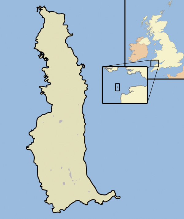
Lundy is an English island in the Bristol Channel. It was a micronation from 1925–1969. It forms part of the district of Torridge in the county of Devon. About long and wide, Lundy has had a long and turbulent history, frequently changing hands between the British crown and various usurpers. In the 1920s, one self-proclaimed king, Martin Harman, tried to issue his own coinage and was fined by the House of Lords. In 1941, two German Heinkel He 111 bombers crash landed on the island, and their crews were captured. In 1969, Lundy was purchased by British millionaire Jack Hayward, who donated it to the National Trust. It is now managed by the Landmark Trust, a conservation charity that derives its income from day trips and holiday lettings, most visitors arriving by boat from Bideford or Ilfracombe. A local tourist curiosity is the special "Puffin" postage stamp, a category known by philatelists as "local carriage labels", a collectors' item. As a steep, rocky island, o ... [...More Info...] [...Related Items...] OR: [Wikipedia] [Google] [Baidu] |
Schooner
A schooner () is a type of sailing vessel defined by its rig: fore-and-aft rigged on all of two or more masts and, in the case of a two-masted schooner, the foremast generally being shorter than the mainmast. A common variant, the topsail schooner also has a square topsail on the foremast, to which may be added a topgallant. Differing definitions leave uncertain whether the addition of a fore course would make such a vessel a brigantine. Many schooners are gaff-rigged, but other examples include Bermuda rig and the staysail schooner. The origins of schooner rigged vessels is obscure, but there is good evidence of them from the early 17th century in paintings by Dutch marine artists. The name "schooner" first appeared in eastern North America in the early 1700s. The name may be related to a Scots word meaning to skip over water, or to skip stones. The schooner rig was used in vessels with a wide range of purposes. On a fast hull, good ability to windward was useful for priv ... [...More Info...] [...Related Items...] OR: [Wikipedia] [Google] [Baidu] |
United Kingdom Of Great Britain And Ireland
The United Kingdom of Great Britain and Ireland was a sovereign state in the British Isles that existed between 1801 and 1922, when it included all of Ireland. It was established by the Acts of Union 1800, which merged the Kingdom of Great Britain and the Kingdom of Ireland into a unified state. The establishment of the Irish Free State in 1922 led to the remainder later being renamed the United Kingdom of Great Britain and Northern Ireland in 1927. The United Kingdom, having financed the European coalition that defeated France during the Napoleonic Wars, developed a large Royal Navy that enabled the British Empire to become the foremost world power for the next century. For nearly a century from the final defeat of Napoleon following the Battle of Waterloo to the outbreak of World War I, Britain was almost continuously at peace with Great Powers. The most notable exception was the Crimean War with the Russian Empire, in which actual hostilities were relatively limited. How ... [...More Info...] [...Related Items...] OR: [Wikipedia] [Google] [Baidu] |
Bishop Rock, Isles Of Scilly
The Bishop Rock ( kw, Men Epskop) is a skerry off the Great Britain, British coast in the northern Atlantic Ocean known for its lighthouse. It is in the westernmost part of the Isles of Scilly, an archipelago off the southwestern tip of the Cornwall, Cornish peninsula of Great Britain. The ''Guinness Book of Records'' lists it as the world's smallest island with a building on it. The original iron lighthouse was begun in 1847 but was washed away before it could be completed. The present building was completed in 1858 and was first lit on 1September that year. Before the installation of the helipad, visitors to the lighthouse would rappel from the top (with winches installed at the lamp level and at the base below) to boats waiting away from the lighthouse. Bishop Rock is also at the eastern end of the North Atlantic shipping route used by ocean liners in the first half of the 20th century; the western end being the entrance to Lower New York Bay. This was the route that ocean ... [...More Info...] [...Related Items...] OR: [Wikipedia] [Google] [Baidu] |
Saint Peter And Saint Paul Archipelago
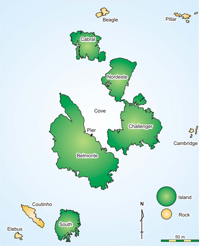
The Saint Peter and Saint Paul Archipelago ( pt, Arquipélago de São Pedro e São Paulo ) is a group of 15 small islets and rocks in the central equatorial Atlantic Ocean.The scientific station of São Pedro and São Paulo Archipelago - Brazil Alvarez, Cristina E., Melo, Julio E., Mello, Roberto L. Retrieved on June 6, 2009. It lies in the Intertropical Convergence Zone, a region of the Atlantic characterized by low average winds punctuated with local thunderstorms. It lies approximately from the nearest point of mainland |
Merchant Raider
Merchant raiders are armed commerce raiding ships that disguise themselves as non-combatant merchant vessels. History Germany used several merchant raiders early in World War I (1914–1918), and again early in World War II (1939–1945). The captain of a German merchant raider, Felix von Luckner, used the sailing ship SMS ''Seeadler'' for his voyage (1916–1917). The Germans used a sailing ship at this stage of the war because coal-fired ships had limited access to fuel outside of territories held by the Central Powers due to international regulations concerning refueling of combat ships in neutral countries. Germany sent out two waves of six surface raiders each during World War II. Most of these vessels were in the range. Many of these vessels had originally been refrigerator ships, used to transport fresh food from the tropics. These vessels were faster than regular merchant vessels, which was important for a warship. They were armed with six 15 cm (5.9 inch) naval gu ... [...More Info...] [...Related Items...] OR: [Wikipedia] [Google] [Baidu] |
Cape Roca
Cabo da Roca () or Cape Roca is a cape which forms the westernmost point of the Sintra Mountain Range, of mainland Portugal, of continental Europe, and of the Eurasian landmass. It is situated in the municipality of Sintra, near Azóia, in the southwest of the district of Lisbon. Notably the point includes a lighthouse that started operation in 1772. History Cabo da Roca was known to the Romans as ''Promontorium Magnum'' and during the Age of Sail as the Rock of Lisbon. Lighthouse Geography The cape is within the Sintra-Cascais Natural Park, 42 kilometres west of the city of Lisbon and in the southwest of Sintra. A location () is inscribed on a stone plaque, located on a monument at the site. The western coast is a mixture of sandy beaches and rocky cliff promontories: around Cabo da Roca, cliffs are more than 100 metres in height, and cut into crystalline rocks, composed of strongly folded and faulted sedimentary units. These forms are disturbed by dikes and small ... [...More Info...] [...Related Items...] OR: [Wikipedia] [Google] [Baidu] |
Bay Of Biscay
The Bay of Biscay (), known in Spain as the Gulf of Biscay ( es, Golfo de Vizcaya, eu, Bizkaiko Golkoa), and in France and some border regions as the Gulf of Gascony (french: Golfe de Gascogne, oc, Golf de Gasconha, br, Pleg-mor Gwaskogn), is a gulf of the northeast Atlantic Ocean located south of the Celtic Sea. It lies along the western coast of France from Point Penmarc'h to the Spanish border, and the northern coast of Spain west to Cape Ortegal. The south area of the Bay of Biscay that washes over the northern coast of Spain is known locally as the Cantabrian Sea. The average depth is and the greatest depth is . Name The Bay of Biscay is named (for English speakers) after Biscay on the northern Spanish coast, probably standing for the western Basque districts (''Biscay'' up to the early 19th century). Its name in other languages is: * ast, Mar Cantábricu * eu, Bizkaiko golkoa * br, pleg-mor Gwaskogn * french: golfe de Gascogne (named after Gascony, France) * gl, ... [...More Info...] [...Related Items...] OR: [Wikipedia] [Google] [Baidu] |
Full-rigged Ship
A full-rigged ship or fully rigged ship is a sailing vessel's sail plan with three or more masts, all of them square-rigged. A full-rigged ship is said to have a ship rig or be ship-rigged. Such vessels also have each mast stepped in three segments: lower mast, top mast, and topgallant mast. Other large, multi-masted sailing vessels may be regarded as ships while lacking one of the elements of a full-rigged ship, e.g. having one or more masts support only a fore-and-aft sail or having a mast that only has two segments. Masts The masts of a full-rigged ship, from bow to stern, are: * Foremast, which is the second tallest mast * Mainmast, the tallest * Mizzenmast, the third tallest * Jiggermast, which may not be present but will be fourth tallest if so If the masts are of wood, each mast is in three or more pieces. They are (in order, from bottom up): * The lowest piece is called the ''mast'' or the ''lower''. * Topmast * Topgallant mast * Royal mast, if fitted On steel-m ... [...More Info...] [...Related Items...] OR: [Wikipedia] [Google] [Baidu] |
.jpg)


