|
List Of Rivers Of Nagaland
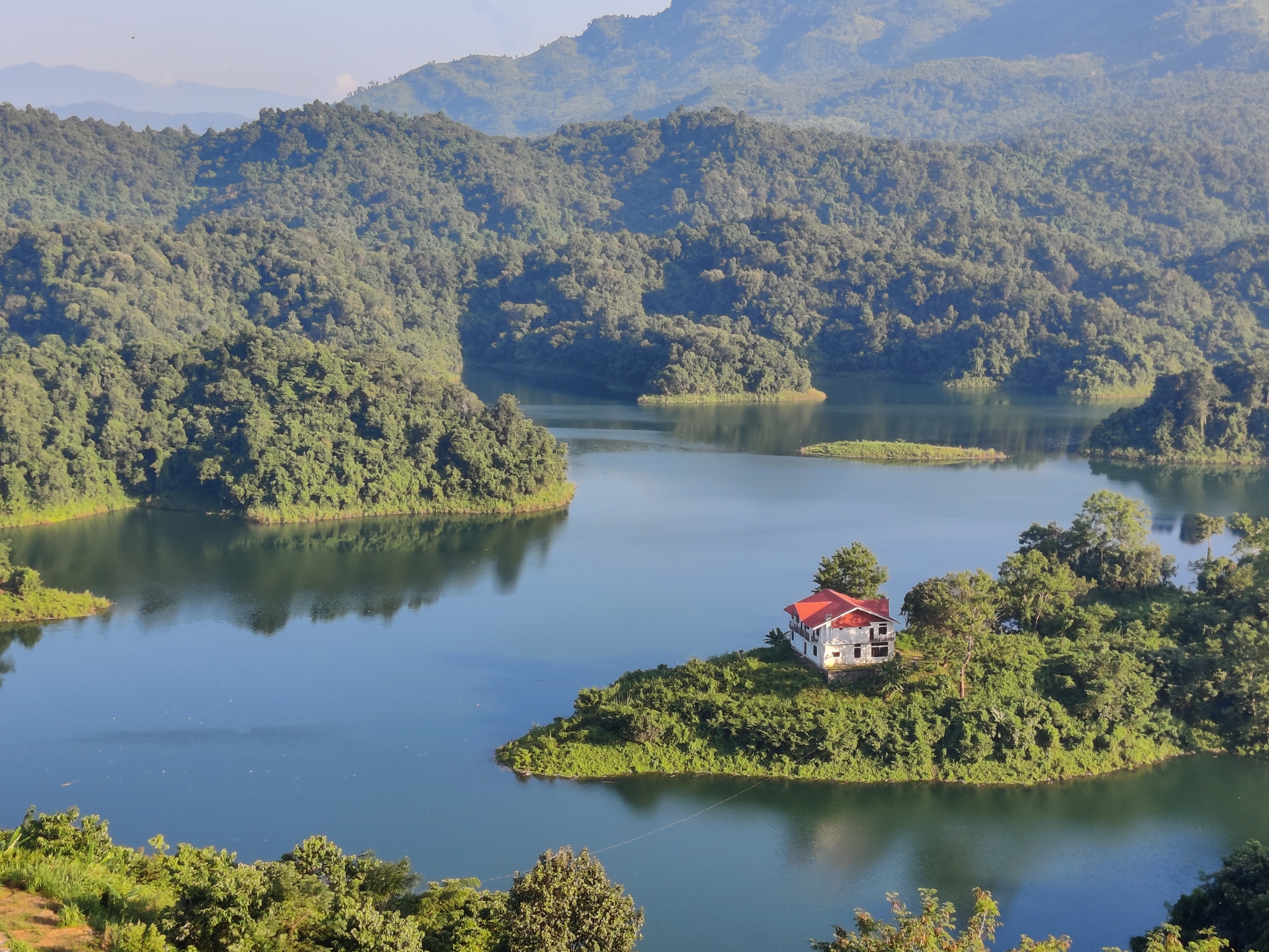
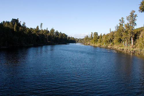
The following is a list of selected rivers in Nagaland. List * Chathe * Dhansiri * Doyang See also * List of rivers * Geography of Nagaland Nagaland () is a landlocked state in the northeastern region of India. It is bordered by the Indian states of Arunachal Pradesh to the north, Assam to the west, Manipur to the south and the Sagaing Region of Myanmar to the east. Its capital cit ... References {{Asia topic, List of rivers of * ... [...More Info...] [...Related Items...] OR: [Wikipedia] [Google] [Baidu] |
Nagaland
Nagaland () is a landlocked state in the northeastern region of India. It is bordered by the Indian states of Arunachal Pradesh to the north, Assam to the west, Manipur to the south and the Sagaing Region of Myanmar to the east. Its capital city is Kohima and its largest city is Dimapur. The state has an area of with a population of 1,980,602 as per the 2011 Census of India, making it one of the smallest states in India.Census of India 2011 Govt of India Nagaland became the 16th state of India on 1 December 1963. It is home to a rich variety of natural, cultural and environmental resources. Nagaland is a mountainous state and lies between the parallels of 95 and 94 degrees east longitude and 25.2 and 27.0 degrees latitude north. The high-profile [...More Info...] [...Related Items...] OR: [Wikipedia] [Google] [Baidu] |
Chathe
The Chathe is a river that flows through the Chümoukedima District of Nagaland, it flows to join the Dhansiri River in Assam which together in turn is a left tributary of the Brahmaputra River. See also * List of rivers of Nagaland The following is a list of selected rivers in Nagaland. List * Chathe * Dhansiri * Doyang See also * List of rivers * Geography of Nagaland Nagaland () is a landlocked state in the northeastern region of India. It is bordered by the In ... References External links {{Wikivoyage, Doyang Rivers of Nagaland Chümoukedima district ... [...More Info...] [...Related Items...] OR: [Wikipedia] [Google] [Baidu] |
Dhansiri
The Dhansiri is a river of Golaghat District of Assam and the Chümoukedima District and Dimapur District of Nagaland. It originates from ''Laisang peak'' of Nagaland. It flows through a distance of from south to north before joining the Brahmaputra on its south bank. Its total catchment area is . While flowing as the boundary between Karbi Anglong and Nagaland, it flanks a large wilderness very rich in wildlife. On one side is the Dhansiri Reserved Forest and on the other Intanki National Park. It has several types of important wood bearing trees along its bank like Intanki Forest. Dhansari river along with Kapili by headward erosion has completely isolated the Mikir hills from the Peninsular plateau. There are numerous perennially waterlogged swampy region locally known as bils associated with this river. In Ahom Buranjis, it is mentioned as ''Khe-Nam-Ti-Ma'' which means A river coming from watery place. (Khe = A river, Nam = Water, Ti = Place, Ma = Coming) Fishes A f ... [...More Info...] [...Related Items...] OR: [Wikipedia] [Google] [Baidu] |
Doyang
The Doyang is the longest and largest river in the Indian state of Nagaland. With its origin from small streams near the Nagaland–Manipur border, it first flows to the form the River Dzüü and Sidzü which flows in a parallel direction in Kohima District and Phek District to meet at the Zünheboto District. It then flows to Wokha District where it is known by its name, the ''Doyang'' and moves south west direction and then north in Assam to join the Dhansiri River which together in turn is a left tributary of the Brahmaputra River. Dams The Doyang Hydro Electric Project is the only major river dam in Nagaland. It was commissioned in the year 2000 and the total installed capacity of the project is 75 (3 X 25) MW. See also * List of rivers in Nagaland The following is a list of selected rivers in Nagaland. List * Chathe * Dhansiri * Doyang See also * List of rivers * Geography of Nagaland Nagaland () is a landlocked state in the northeastern region of ... [...More Info...] [...Related Items...] OR: [Wikipedia] [Google] [Baidu] |
List Of Rivers
This is a comprehensive list of lists of rivers, organized primarily by continent and country. General lists * List of drainage basins by area (including rivers, lakes, and endorheic basins) * List of largest unfragmented rivers * List of longest undammed rivers * List of river name etymologies * List of rivers by age * List of rivers by discharge * List of rivers by length * List of rivers of Central America and the Caribbean * List of rivers of the Americas * List of rivers of the Americas by coastline Rivers of Africa Rivers of Eastern Africa * List of rivers of Eritrea * List of rivers of Ethiopia * List of rivers of Kenya * List of rivers of Madagascar * List of rivers of Mauritius * List of rivers of Réunion * List of rivers of Somalia * List of rivers of South Sudan * List of rivers of Uganda * List of rivers of Zambia * List of rivers of Zimbabwe Rivers of Middle Africa * List of rivers of Chad Rivers of Northern Africa * List of rivers of Egypt * Li ... [...More Info...] [...Related Items...] OR: [Wikipedia] [Google] [Baidu] |
Geography Of Nagaland
Nagaland () is a landlocked States and union territories of India, state in the northeast India, northeastern region of India. It is bordered by the Indian states of Arunachal Pradesh to the north, Assam to the west, Manipur to the south and the Sagaing Region of Myanmar to the east. Its capital city is Kohima and its largest city is Dimapur. The state has an area of with a population of 1,980,602 as per the 2011 Census of India, making it one of the smallest states in India.Census of India 2011 Govt of India Nagaland became the 16th state of India on 1 December 1963. It is home to a rich variety of natural, cultural and environmental resources. Nagaland is a mountainous state and lies between the parallels of 95 and 94 degrees east longitude and 25.2 and 27.0 degrees latitude north. ... [...More Info...] [...Related Items...] OR: [Wikipedia] [Google] [Baidu] |


