|
List Of New Hampshire Historical Markers (26–50)
This page is one of a series of pages that list New Hampshire historical markers. The text of each marker is provided within its entry. __NOTOC__ Markers 26 to 50 . The Old Meeting House :Town of Sandown "The erection of this distinctive type New England Meeting House, located at .3 mile on road to northeast, was begun in 1773 and finished in 1774. A former center of civic and church affairs in Sandown, this excellent example of period architecture is carefully maintained for its historical significance." . Stone Arch Bridge :Town of Stoddard "This twin arch structure, built without mortar and sustained solely by expert shaping of its archstones, is typical of a unique style of bridge construction employed primarily in the Contoocook River Valley in the first half of the Nineteenth Century. These bridges are a significant part of our American architectural heritage." . First Public School :Town of Hampton "In New Hampshire, supported by taxation, the first public school op ... [...More Info...] [...Related Items...] OR: [Wikipedia] [Google] [Baidu] |
New Hampshire Historical Markers
The U.S. state of New Hampshire has, since 1958, placed historical markers at locations that are deemed significant to New Hampshire history. The New Hampshire Division of Historical Resources (DHR) and the Department of Transportation (DOT) are jointly responsible for the historical marker program. The program is authorized bRSA 227 C:4, X an , online documents maintained by DHR list 276 markers. Markers New Hampshire's historical markers are green with white text; the state seal sits atop each one. Generally, there is a title line and up to 12 lines of text, each of which has no more than 45 characters. Some markers note the year they were installed—it may be centered under the main text (early 2000s to present) or right-justified under the main text (1980s through early 2000s), although there are some visible exceptions—while on older markers it is not listed. Any individual or group may propose a marker to commemorate significant New Hampshire places, persons, or events. ... [...More Info...] [...Related Items...] OR: [Wikipedia] [Google] [Baidu] |
Merrimack, New Hampshire
Merrimack is a New England town, town in Hillsborough County, New Hampshire, Hillsborough County, New Hampshire, United States. The population was 26,632 as of the 2020 census. There are four villages in the town: Merrimack Village (formerly known as Souhegan Village), Thorntons Ferry, Reeds Ferry, New Hampshire, Reeds Ferry, and South Merrimack. History Indigenous peoples of the Americas, The first known settlers of the area appeared sometime after the Last Glacial Period, last ice age. ''Merrimack'' is a Native American term meaning sturgeon, a type of fish. The Pennacook people named the Merrimack River after this fish because of the vast population that once existed there. The Pennacooks spelled it ''Monnomoke'' or ''Merramake''. "When the town was incorporated, it took the name of the river and spelled it Merrymac," according to the Merrimack Historical Society. The first mention of the territory containing the current town of Merrimack among written records was the peti ... [...More Info...] [...Related Items...] OR: [Wikipedia] [Google] [Baidu] |
Mount Chocorua
Mount Chocorua () is a mountain in the White Mountains of New Hampshire, the easternmost peak of the Sandwich Range. Although the mountain is not outstanding for its elevation, it is very rugged and has excellent views of the surrounding lakes, mountains, and forests. Being at the end of the range, its bare summit can be seen from almost every direction and identified from many points throughout central New Hampshire and western Maine, and it has been the subject of numerous works of art. Many hiking trails ascend the mountain. Scenic Chocorua Lake lies directly to the south. Geography Mount Chocorua is in the town of Albany and is the easternmost peak of the Sandwich Range in New Hampshire's White Mountain National Forest. The Sandwich Range is located north of the Lakes Region and south of the Kancamagus Highway. The range extends about east-west from Conway on the Saco River to Campton on the Pemigewasset. Chocorua's summit is a picturesque rocky cone, and the mounta ... [...More Info...] [...Related Items...] OR: [Wikipedia] [Google] [Baidu] |
White Mountains (New Hampshire)
The White Mountains are a mountain range covering about a quarter of the state of New Hampshire and a small portion of western Maine in the United States. They are part of the northern Appalachian Mountains and the most rugged mountains in New England. The range is heavily visited due to its proximity to Boston, New York City, and Montreal. Most of the area is public land, including the White Mountain National Forest and a number of state parks. Its most famous mountain is Mount Washington, which is the highest peak in the Northeastern U.S. and for 76 years held the record for fastest surface wind gust in the world ( in 1934). Mount Washington is part of a line of summits, the Presidential Range, that are named after U.S. presidents and other prominent Americans. The White Mountains also include the Franconia Range, Sandwich Range, Carter-Moriah Range and Kinsman Range in New Hampshire, and the Mahoosuc Range straddling the border between it and Maine. In all, there are 48 peak ... [...More Info...] [...Related Items...] OR: [Wikipedia] [Google] [Baidu] |
Crawford Notch
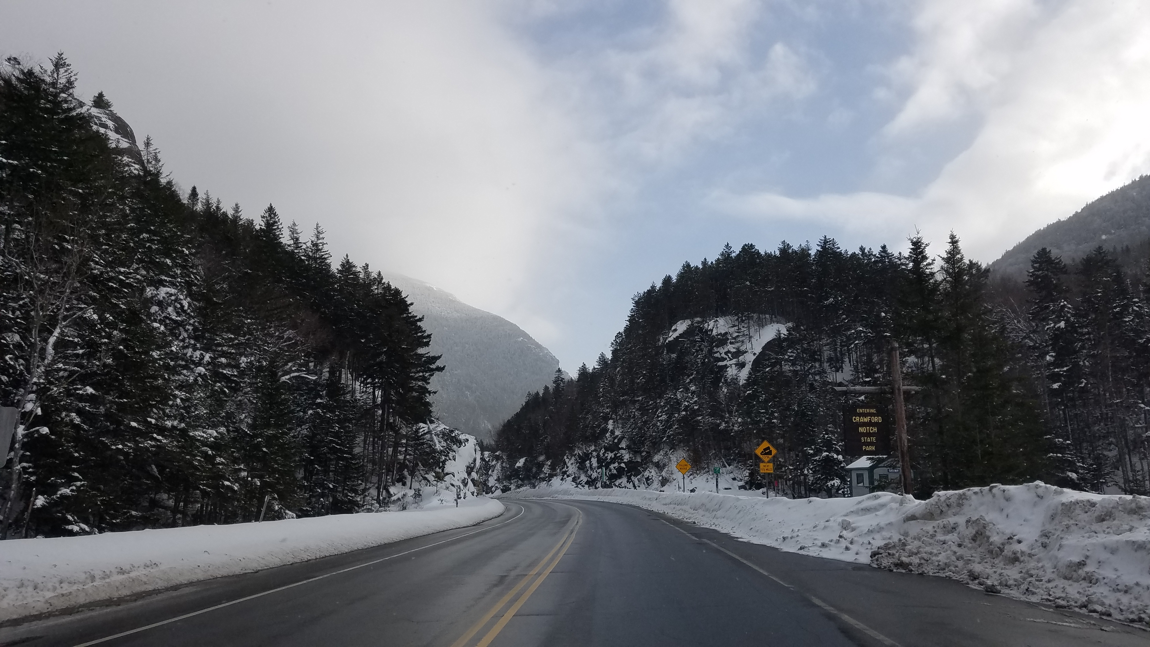
Crawford Notch is a major pass through the White Mountains of New Hampshire, located in Hart's Location. Roughly half of that town is contained in Crawford Notch State Park. The high point of the notch, at approximately above sea level, is at the southern end of the town of Carroll, near the Crawford Depot train station and Saco Lake, the source of the Saco River, which flows southward through the steep-sided notch. North of the high point of the notch, Crawford Brook flows more gently northwest to the Ammonoosuc River, a tributary of the Connecticut River. The notch is traversed by U.S. Route 302, which closely follows the Saco River southeast to North Conway and less closely follows the Ammonoosuc River northwest to Littleton. History Originally called White Mountain Notch, it became known to European settlers when found by Timothy Nash in 1771. The 1772 boundaries of Hart's Grant reflected its shape. It was named for the Crawford family, who were trail-builders and h ... [...More Info...] [...Related Items...] OR: [Wikipedia] [Google] [Baidu] |
Carroll, New Hampshire
Carroll is a town in Coös County, New Hampshire, United States. The population was 820 at the 2020 census. The two largest villages are Twin Mountain and Bretton Woods. Carroll is an important access point for recreational areas in the White Mountains, including many 4,000-footers, the Zealand River area, the Presidential Range, and the Presidential Dry River Wilderness. The town is home to the Mount Washington Hotel at Bretton Woods and to the Highland Center at Crawford Notch, the Appalachian Mountain Club's four-season lodge. Carroll is part of the Berlin, NH– VT Micropolitan Statistical Area. History Land was granted by Governor John Wentworth on February 8, 1772, to Sir Thomas Wentworth, Samuel Langdon, and 81 others. Sir Thomas Wentworth resided in West Bretton, England, on his estate called Bretton Hall, after which the township was named "Bretton Woods". On the 1816 Carrigain map of New Hampshire, it appears as "Breton Woods". On June 22, 1832, the town was ... [...More Info...] [...Related Items...] OR: [Wikipedia] [Google] [Baidu] |
Crawford Family Of The White Mountains
The Crawford family of the White Mountains were a family who moved to New Hampshire's White Mountains in the 1790s from Guildhall, Vermont, and were pioneers in establishing a tourist industry in that area. Abel Crawford and his father-in-law, Eleazar Rosebrook, began the effort, and one of Abel's sons, Ethan Allen Crawford, made significant contributions. Another son, Thomas Jefferson Crawford, continued the work; and Ethan's wife, Lucy, also contributed. Their work was in the area then known as White Mountain Notch, subsequently called Crawford Notch. Numerous geographical features in the White Mountains are now named after the family. Origins The origins of the Crawford family of the White Mountains, lie in the late-18th-century marriage of first cousins Abel Crawford and Hannah Rosebrook. The date of birth of Abel, who was born in Guildhall, Vermont, is uncertain. His father was John, the third son of James Crawford, an Irish or Scotch-Irish man who had emigrated ... [...More Info...] [...Related Items...] OR: [Wikipedia] [Google] [Baidu] |
Nashua, New Hampshire
Nashua is a city in southern New Hampshire, United States. At the 2020 United States census, 2020 census, it had a population of 91,322, the second-largest in northern New England after nearby Manchester, New Hampshire, Manchester. Along with Manchester, it is a county seat, seat of New Hampshire's most populous county, Hillsborough County, New Hampshire, Hillsborough. Built around the now-departed textile industry, in recent decades Nashua's economy has shifted to the financial services, high tech, and arms industry, defense industries as part of the Massachusetts Miracle, economic recovery that started in the 1980s in the Greater Boston region. Major private employers in the city include Nashua Corporation, BAE Systems, and Teradyne. The city also hosts two major regional medical centers, Southern New Hampshire Health System, Southern New Hampshire Medical Center and St. Joseph Hospital (Nashua, New Hampshire), St. Joseph Hospital. The South Nashua commercial district is a major ... [...More Info...] [...Related Items...] OR: [Wikipedia] [Google] [Baidu] |
Litchfield, New Hampshire
Litchfield is a town in Hillsborough County, New Hampshire, United States. The population was 8,478 at the 2020 census. History Prior to European settlement, the area was populated by the Abenaki people. They were skilled with fishing and were adept in agriculture as well. The New Hampshire Archaeological Society has located over 30 Native American sites along the shore of the Merrimack River in Litchfield, with artifacts several thousands of years old being uncovered. Most of Litchfield was part of the large town known as Dunstable, which was organized in the 1600s and included land along both sides of the disputed New Hampshire-Massachusetts boundary, and out of which were carved several towns and cities in both states. The area which became Litchfield was originally known as "Naticook". In 1656, William Brenton, colonial governor of Rhode Island, was granted land which included much of present-day Litchfield. The name was changed to "Brenton's Farm" in 1729. The town was ... [...More Info...] [...Related Items...] OR: [Wikipedia] [Google] [Baidu] |
Hudson, New Hampshire
Hudson is a New England town, town in Hillsborough County, New Hampshire, Hillsborough County, New Hampshire, United States. It is located along the Massachusetts state line. The population was 25,394 at the 2020 census. It is the tenth-largest municipality (town or city) in the state, by population. The urban center of town, where 7,534 people resided as of the 2020 census, is defined as the Hudson (CDP), New Hampshire, Hudson census-designated place (CDP) and is located at the junctions of New Hampshire routes New Hampshire Route 102, 102, New Hampshire Route 111, 111 and New Hampshire Route 3A, 3A, directly across the Merrimack River from the city of Nashua, New Hampshire, Nashua. History Hudson began as part of the Dunstable Land Grant that encompassed the current city of Nashua, New Hampshire, and the towns of Dunstable, Massachusetts, Dunstable and Pepperell, Massachusetts, as well as parts of other nearby towns on both sides of the border. In 1732, all of Dunstable east ... [...More Info...] [...Related Items...] OR: [Wikipedia] [Google] [Baidu] |
Hollis, New Hampshire
Hollis is a town in Hillsborough County, New Hampshire, United States. The population was 8,342 at the 2020 census, growing 9% from the 2010 population of 7,684. The town center village is listed on the National Register of Historic Places as Hollis Village Historic District. History Town name According to Samuel T. Worcester's history which was commissioned by the town selectmen in 1878, the town was incorporated in the province of New Hampshire on April 3, 1746, "to have continence forever by the name of ''Holles''..." Worcester argues that, at the time of the charter, Governor Benning Wentworth was indebted to Thomas Pelham-Holles, 1st Duke of Newcastle, for his appointment as governor. According to Worcester, it was "very much the custom with Gov. Wentworth" to name towns in honor of his friends and patrons. Thus in the same year, the towns of Pelham and Holles were incorporated, and named after the duke. Worcester cites a Mr. Bancroft who, :: "...in his history, says ... [...More Info...] [...Related Items...] OR: [Wikipedia] [Google] [Baidu] |
Massachusetts
Massachusetts (Massachusett language, Massachusett: ''Muhsachuweesut [Massachusett writing systems, məhswatʃəwiːsət],'' English: , ), officially the Commonwealth of Massachusetts, is the most populous U.S. state, state in the New England region of the Northeastern United States. It borders on the Atlantic Ocean and Gulf of Maine to the east, Connecticut and Rhode Island to the south, New Hampshire and Vermont to the north, and New York (state), New York to the west. The state's capital and List of municipalities in Massachusetts, most populous city, as well as its cultural and financial center, is Boston. Massachusetts is also home to the urban area, urban core of Greater Boston, the largest metropolitan area in New England and a region profoundly influential upon American History of the United States, history, academia, and the Economy of the United States, research economy. Originally dependent on agriculture, fishing, and trade. Massachusetts was transformed into a manuf ... [...More Info...] [...Related Items...] OR: [Wikipedia] [Google] [Baidu] |
.jpg)


_by_Thomas_Johnson.jpg)


