|
List Of Cathedrals In Ghana
This is the list of cathedrals in Ghana sorted by denomination. Roman Catholic Cathedrals of the Roman Catholic Church in Ghana: * Holy Spirit Cathedral in Accra * St. Francis de Sales Cathedral in Cape Coast * St. Anne's Cathedral in Damongo * Cathedral of St. Anthony of Padua in Goaso * Sacred Heart Cathedral in Ho * Christ the King Cathedral in Akatsi * St. George's Cathedral in Koforidua * St. Paul Cathedral in Mampong * St. Peter's Cathedral Basilica in Kumasi * Cathedral Basilica of Our Lady of Seven Sorrows in Navrongo * St. Thomas Cathedral in Obuasi * Our Lady Star of the Sea Cathedral in Takoradi * Christ the King Cathedral in Sunyani * Our Lady of Annunciation Cathedral in Tamale * Cathedral of St. Paul in Techiman * St. Andrew's Cathedral in Wa * Cathedral of St. Joseph in Wiawso * Cathedral of Our Lady of Lourdes in Yendi * St. Michael Co-Cathedral in Keta * St. Gabriel's Co-Cathedral in Konongo * Sacred Heart Co-Cathedral in Bolgatanga * St. Paul's Pro-Cat ... [...More Info...] [...Related Items...] OR: [Wikipedia] [Google] [Baidu] |
Cathedrals
A cathedral is a church that contains the '' cathedra'' () of a bishop, thus serving as the central church of a diocese, conference, or episcopate. Churches with the function of "cathedral" are usually specific to those Christian denominations with an episcopal hierarchy, such as the Catholic, Eastern Orthodox, Anglican, and some Lutheran churches.New Standard Encyclopedia, 1998 by Standard Educational Corporation, Chicago, Illinois; page B-262c Church buildings embodying the functions of a cathedral first appeared in Italy, Gaul, Spain, and North Africa in the 4th century, but cathedrals did not become universal within the Western Catholic Church until the 12th century, by which time they had developed architectural forms, institutional structures, and legal identities distinct from parish churches, monastic churches, and episcopal residences. The cathedral is more important in the hierarchy than the church because it is from the cathedral that the bishop governs the area und ... [...More Info...] [...Related Items...] OR: [Wikipedia] [Google] [Baidu] |
Obuasi
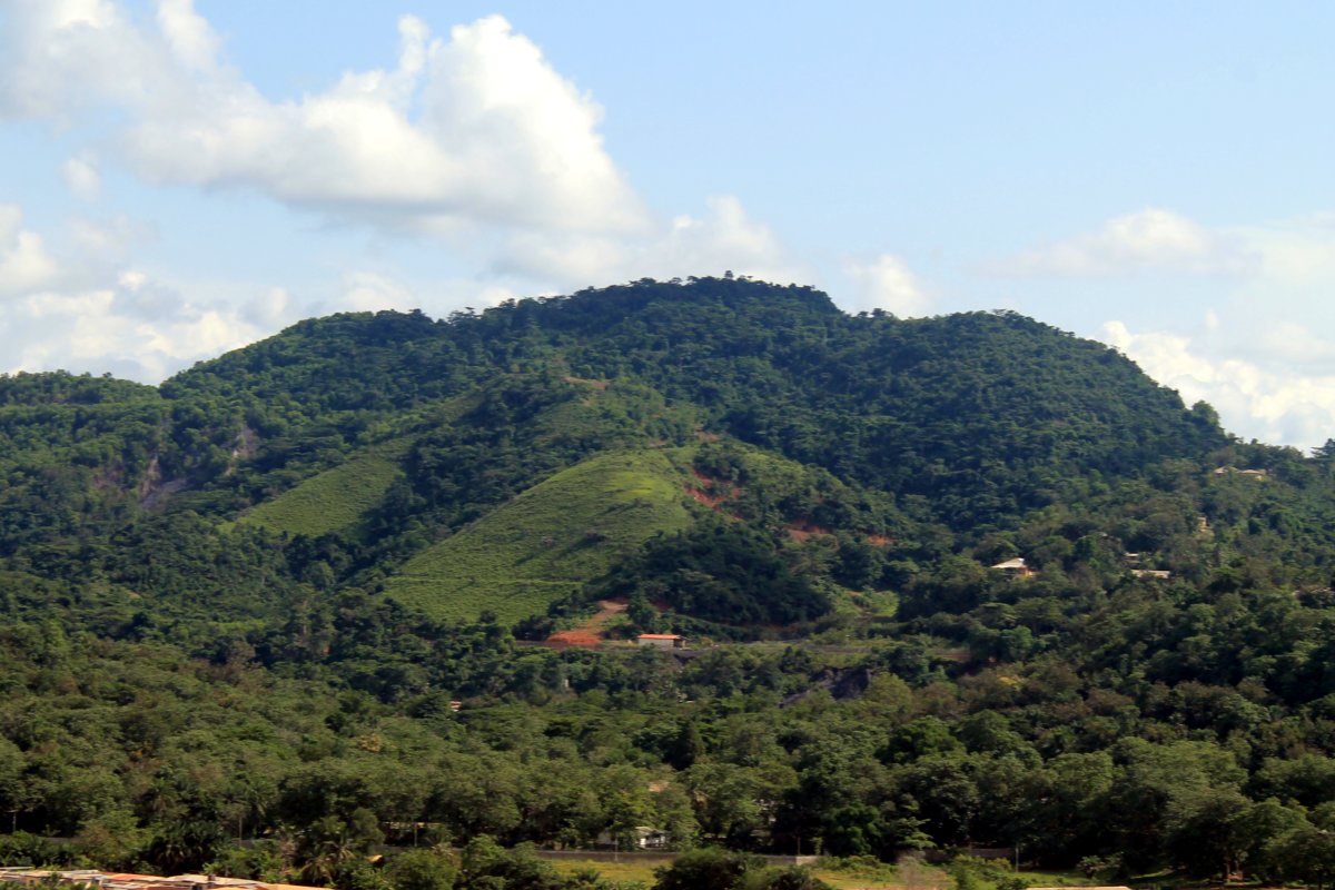
Obuasi is a Mining Community and town in the southern part of Obuasi Municipal of the Ashanti Region of Ghana. Obuasi is the capital of the Obuasi Municipal which lies south of Ashanti capital city Kumasi 39 miles (59.4 kilometres) away south-west of Kumasi or 1 hour 2 minutes road-drive from Obuasi to Kumasi. Obuasi has a settlement population of 175,043 people. Obuasi gold bar mining community has delicate mosaic from the Ashanti people culture of Ashanti and the semi-island exclave Ashantiland. Obuasi wears a ring of hills as its adornment and Obuasi sits quietly albeit industriously on the soil that births the top-9 single richest bullion gold bar gold mining mining, mine on Earth the Obuasi Gold Mine. Gold Coast region was named after the large amount of gold mined historically at Obuasi and the broader Ashanti Region. Economy Obuasi is known for the Obuasi Gold Mine, one of the largest underground gold mines in the world. With gold having been mined on the site since ... [...More Info...] [...Related Items...] OR: [Wikipedia] [Google] [Baidu] |
Jasikan
Jasikan is a small town and is the capital of Jasikan district, a district in the Oti Region of Ghana. It is home to Bueman Secondary School and Jasikan College of Education. It is the local business hub for Buem enclave and the seat of government for the district. The main language in the area is Leleme, and cocoa is the cash crop. Geography Location Jasikan lies 260 kilometres north-east of Accra, the capital of Ghana. See also *Jasikan District *Buem (Ghana parliament constituency) The Buem constituency is one of the constituency, constituencies represented in the Parliament of Ghana. It elects one Member of Parliament, Member of Parliament (MP) by the first past the post system of election. It is located in the Jasikan Dis ... References External links and sourcesGhanaian Cities Towns and Villageswww.ghanaquest.com Jasikan District on GhanaDistricts.comGoogle maps {{Ghana-geo-stub Populated places in the Oti Region ... [...More Info...] [...Related Items...] OR: [Wikipedia] [Google] [Baidu] |
Donkorkrom
Donkorkrom is a town in south Ghana and is the capital of Kwahu Afram Plains North district, a district in the Eastern Region of Ghana.Kwahu North district Religion Its Cathedral of is the see of the Latin Catholic , which was founded in 2007 as an apostolic prefecture.Education There are a few senior high schools in the District. Which are * Donkorkrom Agric Senior High School, DASHS, is a secondary s ...[...More Info...] [...Related Items...] OR: [Wikipedia] [Google] [Baidu] |
Sekondi
Sekondi-Takoradi is a city in Ghana comprising the twin cities of Sekondi and Takoradi. It is the capital of Sekondi – Takoradi Metropolitan Assembly and the Western Region of Ghana. Sekondi-Takoradi is the region's largest city and an industrial and commercial centre, with a population of 445,205 people (2012). The chief industries in Sekondi-Takoradi are timber, cocoa processing, plywood, shipbuilding, its harbour and railway repair, and recently, sweet crude oil and crude oil. The fundamental job in Sekondi-Takoradi is fishing. Sekondi-Takoradi lies on the main railway lines to Kumasi and Accra. History Sekondi, an older and larger Ahanta town, was the site of Dutch Fort Orange (1642) and English Fort Sekondi (1682). It prospered from a railroad built in 1903 to hinterland mineral and timber resources. Takoradi, also an Ahanta town, was the site of Dutch Fort Witsen (1665) and has an important deepwater seaport, Ghana's first, built in 1928. [...More Info...] [...Related Items...] OR: [Wikipedia] [Google] [Baidu] |
Bolgatanga
Bolgatanga ( Frafra: ''''), colloquially known as ''Bolga'', is a town and the capital of the Bolgatanga Municipal District and Upper East Region of Ghana, adjacent to the border with Burkina Faso. Bolgatanga has over 2012 settlement and a population of about 66,685 people. Bolgatanga is 161 km (about 100 miles) to the north of Tamale. Bolgatanga lies in the Red Volta River Valley (which serves as a major migration route of elephants), with the White Volta River and the cliffs of the Gambaga Escarpment to the south of the town forming the southern boundary of the Upper East Region. History of Bolgatanga The name Bolgatanga (Bolbatanga) was derived from the Guresi words ''bolba'' "migrants" and ''tanŋa'' "pyramid." Historically Bolgatanga was situated at the southern terminus of the ancient Trans-Saharan trade route. The eastern route converged with the Sahelian route, near Bolgatanga. Along the route, handicrafts—especially straw baskets, hats and fans, as well as leat ... [...More Info...] [...Related Items...] OR: [Wikipedia] [Google] [Baidu] |
Konongo, Ghana
Konongo (also Konongo-Odumase) is a gold bar mining and manganese mining community located in Ashanti, Ghana. The town serves as the capital of the Asante Akim Central Municipal. As of 2012, Konongo has a settlement population of 41,238 people. Konongo is about from Kumasi, the Ashanti capital. Toponymy The name of Konongo is derived from rural folklore of drinking palm oil (''kor-nom-ngo''). Gold Mining and Manganese Mining The Gold mining town of Konongo has always been a lively town. It was a very boisterous town many decades before the 1950s. Konongo was the commercial capital of the Kumasi East Council which later became the Asante-Akyem District. The Gold mines that was owned by British companies attracted many nationalities from the West African Sub-Region as well as other ethnic groups from the West African Sub-Region. Konongo Gold Mine Konongo Gold Mine is a suspended open pit mine in Ashanti and the Konongo Gold Mine mainly produces bullion gold bars. In Raw Mat ... [...More Info...] [...Related Items...] OR: [Wikipedia] [Google] [Baidu] |
Keta
Keta is a coastal town in the Volta Region of Ghana. It is the capital of the Keta Municipal District. Keta was an important trading post between the 14th and the late 20th centuries. The town attracted the interest of the Danish, because they felt they could establish a base here without interference from rival European nations. Their first initiative was to place a factory at Keta to sell alcohol. In 1792, a war between Anloga and Keta broke out. The original people then migrated across the lagoon to Klikor to establish the Somey State with Agbozume as its capital. Keta was then repopulated with people from other areas of the surrounding communities. Faced with the threat of war between Peki and an alliance of the Ashanti and the Akwamu, the North German Missionary Society (also known as the Bremen Missionaries) moved the focus of their activities from Peki to Keta. Their missionaries, Dauble and Plessing, landed at nearby Dzelukofe on September 2, 1853. Historically Keta ... [...More Info...] [...Related Items...] OR: [Wikipedia] [Google] [Baidu] |
Yendi
Yendi is a town and the capital of Yendi Municipal district in the Northern Region of Ghana. As of 2012 the population of Yendi was 52,008 people. It is the seat of the King of the Dagombas. Climate Economy The people of Yendi are mainly peasant farmers who grow grains especially corn, guinea corn and millet. They also grow tubers such as yam. Yendi is a commercial hub as it is caught in the middle of most towns/villages in the northern corridor. Most people travelling to Tamale and beyond from the Eastern corridor have to go through Yendi thus making it an important transport hub. Culture Yendi is an important cultural centre as it is home to the Dagbon traditional chieftaincy seat. The Yaa Naa lives in Yendi where he has his court/palace. The seat has always attracted wrong political meddling resulting in the brutal murder of the previous occupant of the seat Naa Yaa Andani Yakubu. The chieftaincy has 2 families; the Andanis and Abudus from which the overlord is chos ... [...More Info...] [...Related Items...] OR: [Wikipedia] [Google] [Baidu] |
Wiawso
Sefwi Wiawso is a town in the Sefwi-Wiawso Municipal District in the Western North Region of Ghana. It doubles as the capital of Sefwi-Wiawso Municipal District and Western North Region. Wiawso serves as the traditional seat for the Omanhene of Sefwi-Wiawso traditional area. The settlement of wiawso began on hilltop with Sefwi-Dwenase settlement occupying the lowlands. Overtime, Wiawso and Sefwi-Dwenase have conurbated with almost all the financial institutions, governmental agency-offices, lorry terminals and the main market all located in Sefwi Dwenase. Wiawso is known for producing timber, cocoa and cashew. History Just like any other township or village in Ghana that has a name, there is a special story and a history behind the name, Sefwi Wiawso. The lands on which Sefwi Wiawso is located in the moment was once a thicket of forest with abundance of game and fertile soil. Through hunting the people came to discover the potential of the lands that has now become the Wiawso ... [...More Info...] [...Related Items...] OR: [Wikipedia] [Google] [Baidu] |
Wa, Ghana
Wa is a town and the capital of Wa Municipal District and the Upper West Region of northern Ghana. Wa had a 2012 settlement population of 102,446. Features of the town include several churches and mosques, the Wa-Na Palace, the St. Andrew's Catholic cathedral, the University for Development Studies (UDS), a museum, a nearby hippopotamus sanctuary in Wicheau (located in the Wa-West district), the mushroom rock In Jirapa and the ants hill at Nanvielle. The geography of Wa is notable for the dramatic monadnock Ombo Mountain, which is located around Kaleo and visible from much of the Wa town. Other notable towns around Wa region include Naaha and Ga. The town serves as a transportation hub for the Upper West region, with major roads leading north to Hamile, and northeast to Tumu and the Upper East Region. There is also a small airport, the Wa Airport. [...More Info...] [...Related Items...] OR: [Wikipedia] [Google] [Baidu] |
Techiman
Techiman is a city and is the capital of Techiman Municipal and Bono East Region of Ghana. Techiman is a leading market town in South Ghana. Techiman is one of the two major cities and settlements of Bono East region. Techiman is home to West Africa's largest traditional market. Techiman has a settlement population of 104,212 people in 2013. Techiman is located at a historical crossroads of trade routes and the Tano River, and serves as capital of the Techiman Municipal District. History According to oral tradition, the Akans which constitute the largest ethnic group in Ghana, moved from ancient Bono State; a historical location known as Bono Manso, a suburb in Techiman Municipality. The Fantes (''an Akan people''), according to their oral tradition, migrated from Techiman to found the coastal Mankessim Kingdom that covers present Central region and Western regions in 1252. Others from the Akan people would later follow and formed their own states and city states, such as th ... [...More Info...] [...Related Items...] OR: [Wikipedia] [Google] [Baidu] |


