|
Linare FC
Linare FC is a Lesotho football club based in Leribe in the Leribe District Leribè is a district of Lesotho. It has an area of 2,828 km2 and a population in 2016 of approximately 337,500. Hlotse is the capital or camptown of the district. The district has one additional town, namely Maputsoe. In the west, Leribe bo .... It was established in 1931 and it has been in the Lesotho Premier Division from the early 1930s to date. The team currently plays in Lesotho Premier League. Stadium Currently the team plays at the 1,000 capacity Hlotse Stadium. Titles * Lesotho Premier League: 3 ::1973, 1979, 1980 References External linksSoccerway Lesotho Premier League clubs {{Lesotho-footyclub-stub ... [...More Info...] [...Related Items...] OR: [Wikipedia] [Google] [Baidu] |
Hlotse Stadium
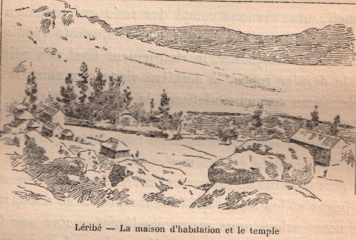
Hlotse (also Leribe) is an important market town in Lesotho. It is situated on the Hlotse River, near the South African border. The town was founded in 1876 by a British missionary, Reverend John Widdicombe. It was a colonial centre until Lesotho gained its independence. The population in 2016 was 38,558. The alternate name, Leribe, comes from the adjacent France, French Protestant Leribe Mission, founded in 1859 by François Coillard. Hlotse is also called Leribe because it is the Camptown (Lesotho), camptown in the district of Leribe District, Leribe. The main Basotho Headquarters for Help Lesotho is in Hlotse. Places of interest Three different sightseeing locations are the Leribe Craft Centre, statue in front of the District Administration office, and an old military lookout. The Leribe Craft Centre sells handmade wool items ranging from scarfs to jackets. The craft centre is located on the side of the road as a person comes into Hlotse. The statue in front of the Distric ... [...More Info...] [...Related Items...] OR: [Wikipedia] [Google] [Baidu] |
Hlotse
Hlotse (also Leribe) is an important market town in Lesotho. It is situated on the Hlotse River, near the South African border. The town was founded in 1876 by a British missionary, Reverend John Widdicombe. It was a colonial centre until Lesotho gained its independence. The population in 2016 was 38,558. The alternate name, Leribe, comes from the adjacent French Protestant Leribe Mission, founded in 1859 by François Coillard. Hlotse is also called Leribe because it is the camptown in the district of Leribe. The main Basotho Headquarters for Help Lesotho Help Lesotho is a non-governmental organization that was founded in 2004 by Dr. Peg Herbert. Based in Ottawa, Canada, Help Lesotho is made up of dedicated people, working to help prevent HIV/AIDS in the country of Lesotho, which has the 2nd highe ... is in Hlotse. Places of interest Three different sightseeing locations are the Leribe Craft Centre, statue in front of the District Administration office, and an old milit ... [...More Info...] [...Related Items...] OR: [Wikipedia] [Google] [Baidu] |
Lesotho
Lesotho ( ), officially the Kingdom of Lesotho, is a country landlocked country, landlocked as an Enclave and exclave, enclave in South Africa. It is situated in the Maloti Mountains and contains the Thabana Ntlenyana, highest mountains in Southern Africa. It has an area of over and has a population of about million. It was previously the British Crown colony of Basutoland, which declared independence from the United Kingdom on 4 October 1966. It is a fully sovereign state and is a member of the United Nations, the Commonwealth of Nations, the African Union, and the Southern African Development Community. The name ''Lesotho'' roughly translates to "land of the Sotho". History Basutoland Basutoland emerged as a single body politic, polity under King Moshoeshoe I in 1822. Moshoeshoe, a son of Mokhachane, a minor tribal chief, chief of the Bakoteli lineage, formed his own clan and became a chief around 1804. Between 1820 and 1823, he and his followers settled at the Buth ... [...More Info...] [...Related Items...] OR: [Wikipedia] [Google] [Baidu] |
Lesotho Premier League
The Lesotho Premier League also known as Econet Premier League is the top football division in Lesotho and was created in 1970. Econet Telecom Lesotho are the current league sponsor, since 2017/2018 season. Vodacom Lesotho were the previous league sponsor and were also the sponsor of the now cancelled Vodacom Soccer Spectacular knockout competition, which was the Lesotho's annual national cup tournament. Format The Lesotho Premier League is currently contested by 14 clubs. The league uses a double round robin format meaning one team plays the other twice. Therefore, a team will play a total of 26 games per season. The team with the most points wins the league title. The Lesotho Premier League is still played on an amateur status. Sponsorship Since 2002, Lesotho's Premier League has been sponsored by telecommunications companies. Econet Telecom Lesotho, through its prepaid product Buddie, sponsored the Premier League and Lesotho's lower leagues (the A-Division, B-Division and ... [...More Info...] [...Related Items...] OR: [Wikipedia] [Google] [Baidu] |
Leribe District
Leribè is a district of Lesotho. It has an area of 2,828 km2 and a population in 2016 of approximately 337,500. Hlotse is the capital or camptown of the district. The district has one additional town, namely Maputsoe. In the west, Leribe borders on the Free State Province of South Africa. Domestically, it borders Butha-Buthe District in the north, Mokhotlong District in the east, Thaba-Tseka District in southeast and Berea District in southwest. As of 2006, the district had a population of 293,369 which was 15.63 per cent of the total population of the country. As of 2008, 48% of the population in the district were economically active. There were 191,052 employed people out of a total of 401,258 people in the district above 15 years of age. Demographics As of 2006, the district had a population of 293,369, 15.63 per cent of the population of the country. The area of the district is 2,828 km2, 9.32% of the total area of the country. The population density in the district w ... [...More Info...] [...Related Items...] OR: [Wikipedia] [Google] [Baidu] |
