|
Lhorong County
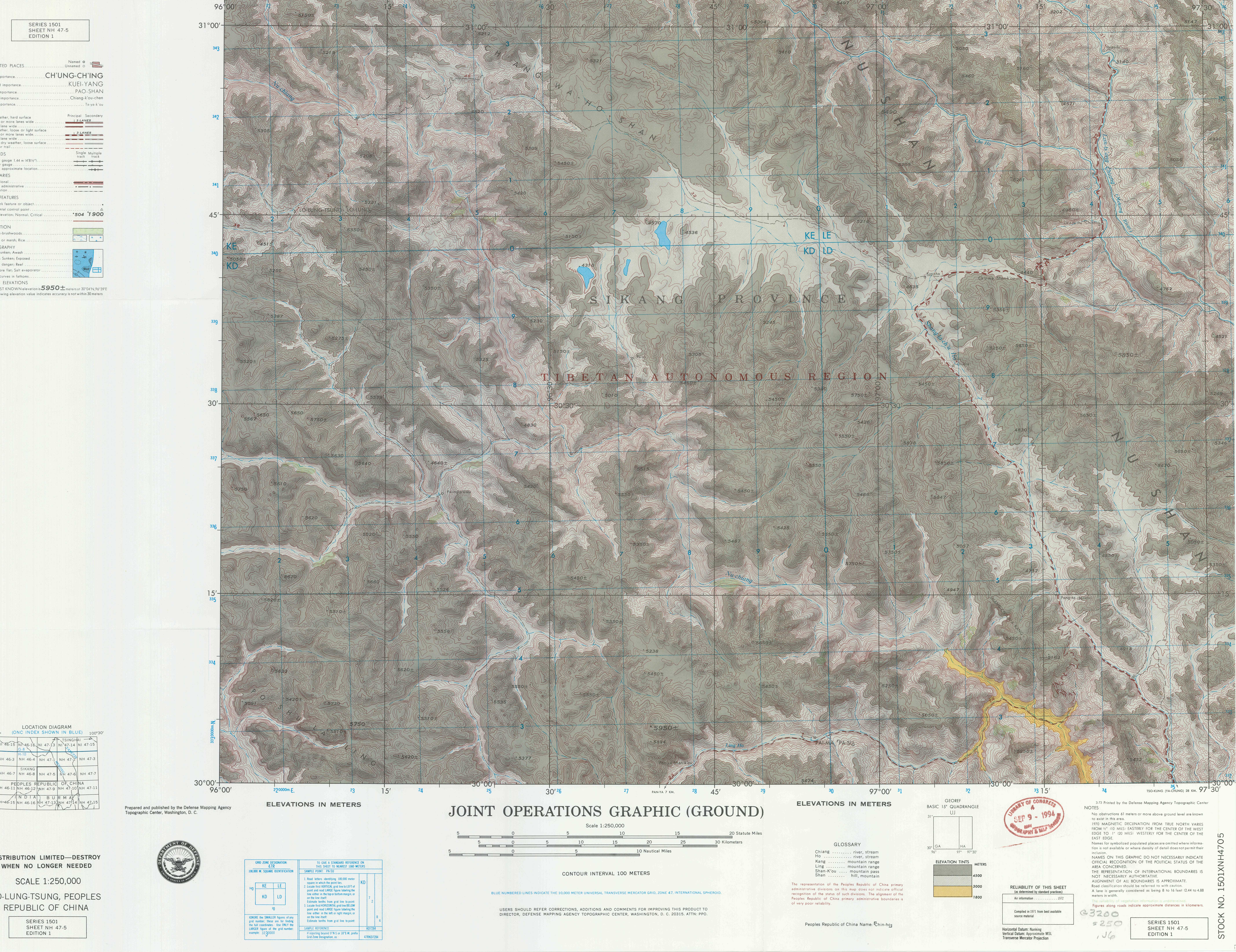
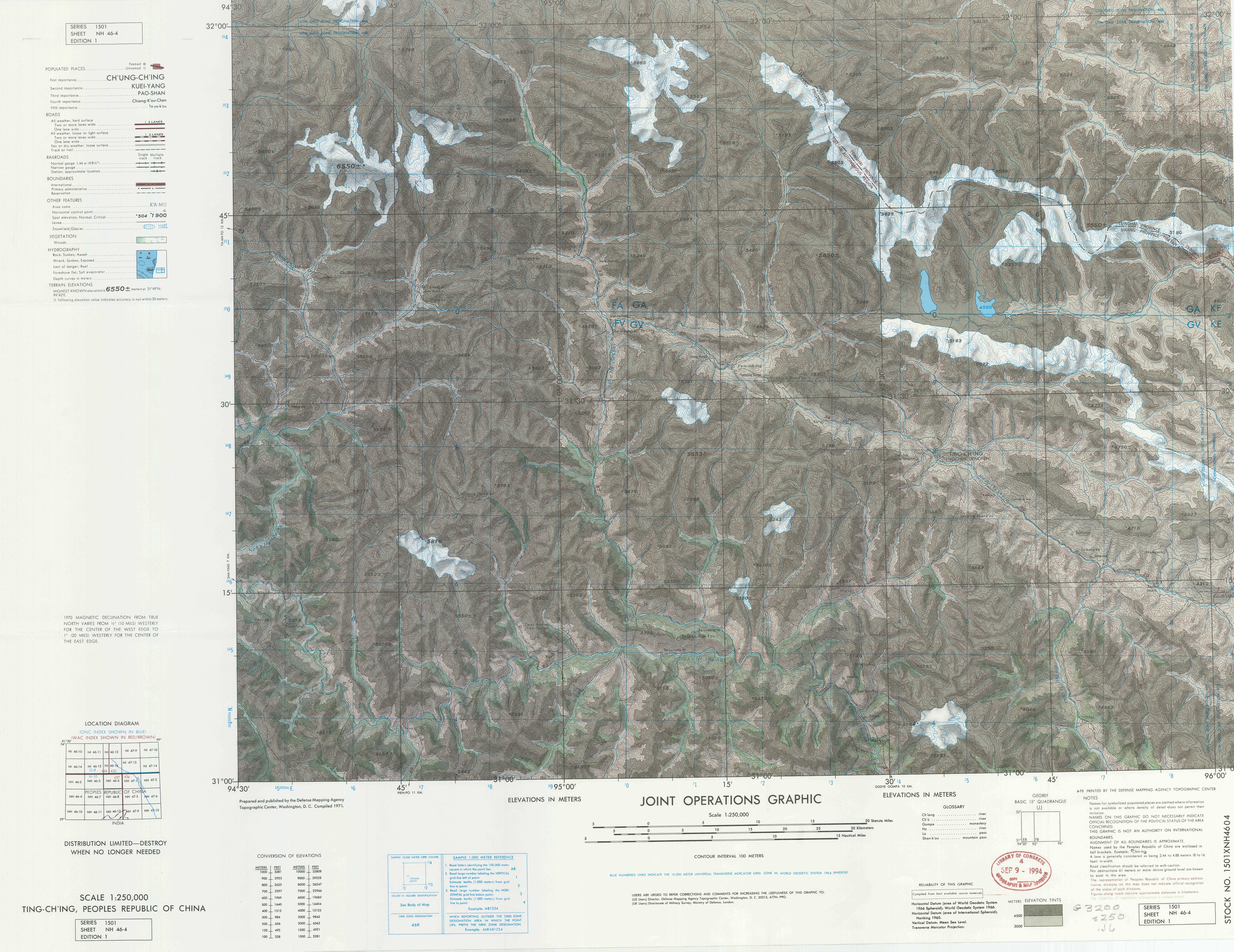
Lhorong County is a county of the Qamdo Prefecture in the Tibet Autonomous Region. The county covers an area of and has a population of around 40,000 as of 2003. The word Lhorong means "valley in the south" or "river in the south" in Tibetan. Geography and climate Lhorong County is located in the northeast of the Tibet Autonomous Region, in the eastern Qinghai-Tibet Plateau and contains some 100 kilometres of the Nu River (Salween River). The Nu River flows through Tibet into Gongshan Dulong and Nu Autonomous County of Yunnan Province. It later flows through Lushui County and into Burma, eventually into the Indian Ocean. Lhorong County lies to the south-west of the Qamdo Prefecture. Banbar County lies to the northwest, Baxoi County lies across the river to the east, Banbar County to the west, Dêngqên County to the north, and Riwoqê County Riwoche (; ) is a county under the administration of the prefecture-level city of Chamdo in the Tibet Autonomous Region, China. The county ... [...More Info...] [...Related Items...] OR: [Wikipedia] [Google] [Baidu] |
Standard Tibetan
Lhasa Tibetan (), or Standard Tibetan, is the Tibetan dialect spoken by educated people of Lhasa, the capital of the Tibetan Autonomous Region of China. It is an official language of the Tibet Autonomous Region. In the traditional "three-branched" classification of Tibetic languages, the Lhasa dialect belongs to the Central Tibetan branch (the other two being Khams Tibetan and Amdo Tibetan). In terms of mutual intelligibility, speakers of Khams Tibetan are able to communicate at a basic level with Lhasa Tibetan, while Amdo speakers cannot. Both Lhasa Tibetan and Khams Tibetan evolved to become Tone (linguistics), tonal and do not preserve the word-initial consonant clusters, which makes them very far from Classical Tibetan, especially when compared to the more Linguistic conservatism, conservative Amdo Tibetan. Registers Like many languages, Lhasa Tibetan has a variety of Register (sociolinguistics), language registers: * (Wylie transliteration, Wylie: , literally "wikt:demot ... [...More Info...] [...Related Items...] OR: [Wikipedia] [Google] [Baidu] |
China Standard Time
The time in China follows a single standard time offset of UTC+08:00 (eight hours ahead of Coordinated Universal Time), even though the country spans almost five geographical time zones. The official national standard time is called ''Beijing Time'' (BJT, ) domestically and ''China Standard Time'' (CST) internationally. Daylight saving time has not been observed since 1991. China Standard Time (UTC+8) is consistent across Mainland China, Hong Kong, Macau, Taiwan, Philippines, Singapore, Brunei, Mongolia, etc. History In the 1870s, the Shanghai Xujiahui Observatory was constructed by a French Catholic missionary. In 1880s officials in Shanghai French Concession started to provide a time announcement service using the Shanghai Mean Solar Time provided by the aforementioned observatory for ships into and out of Shanghai. By the end of 19th century, the time standard provided by the observatory had been switched to GMT+08:00. The practice has spread to other coastal ports, and in ... [...More Info...] [...Related Items...] OR: [Wikipedia] [Google] [Baidu] |
Qamdo Counties
Chamdo, officially Qamdo () and also known in Chinese as Changdu, is a prefecture-level city in the eastern part of the Tibet Autonomous Region, China. Its seat is the town of Chengguan in Karuo District. Chamdo is Tibet's third largest city after Lhasa and Shigatse.Buckley and Straus 1986, p. 215. Chamdo is divided into 11 county-level divisions: one district and ten counties. The main district is Karuo District. Other counties include Jonda County, Gonjo County, Riwoche County, Dengqen County, Zhag'yab County, Baxoi County, Zognang County, Maarkam County, Lhorong County, and Banbar County. History On 11 July 2014 Chamdo Prefecture was upgraded into a prefecture-level city. Languages Languages spoken in Chamdo include Khams Tibetan and the Chamdo languages of Lamo, Larong, and Drag-yab. Transportation Air Qamdo Bamda Airport, opened in 1994, is located from Chengguan Town in Karub District. The long commute (2.5 hours by mountain road) is the result of no flat ... [...More Info...] [...Related Items...] OR: [Wikipedia] [Google] [Baidu] |
Riwoqê County
Riwoche (; ) is a county under the administration of the prefecture-level city of Chamdo in the Tibet Autonomous Region, China. The county lies in eastern Tibet and borders Qinghai province to the north. Riwoche is the name of the county, the county capital, and the small village where the main monastery is located. Riwoche sits at around above sea level. The Dzi River flows through the region. The county grows barley and wheat. Khampa inhabitants of the area lives in houses made of wood. The area is highly mountainous, and in contrast to the high altitude grasslands predominant in Tibetan Plateau, Riwoche is lush all year round with evergreen forests. Riwoche's climate is mild by Tibetan standards, with daytime high temperatures generally above in winter and in summer. Climate Attractions Yiri Hot Spring is located at Riwoqê County, surrounded by the hills, is a famous hot spring which is reputed to cure diseases. Riwoche is also home to the famous Riwoche Monastery, ... [...More Info...] [...Related Items...] OR: [Wikipedia] [Google] [Baidu] |
Dêngqên County
Dêngqên County སྟེང་ཆེན་རྫོང་། (; ) is a county of Chamdo City in the east of the Tibet Autonomous Region. Transport *China National Highway 317 China National Highway 317 (G317) runs broadly west to east from Chengdu, Sichuan to Gar County, Ngari Prefecture, Tibet. It is 2,028 kilometres in length and forms an important transportation route in Tibet. As of 2017, Highway 317 passes throu ... Climate References Counties of Tibet Chamdo {{Qamdo-geo-stub ... [...More Info...] [...Related Items...] OR: [Wikipedia] [Google] [Baidu] |
Baxoi County
Pasho County or Baxoi County (; }) is a county under the administration of Chamdo Prefecture in the Tibet Autonomous Region. The county seat is at Pema (), which is also called the Pasho Town. The county population is 35,273 (1999). It contains the Pomda Monastery and Rakwa Tso lake. Geography The Pasho County contains the Brahmaputra–Salween water divide. The Ngajuk La pass () is on the divide. To the north, Ling Chu flows north and east draning into Salween. To the south, Parlung Tsangpo flows south and west to drain into the Tsangpo River (the Tibetan section of Brahmaputra). Climate Transport *China National Highway 318 Maps File:Txu-oclc-10552568-nh47-9.jpg, Su-tun (Shugden Gompa) (AMS AMS or Ams may refer to: Organizations Companies * Alenia Marconi Systems * American Management Systems * AMS (Advanced Music Systems) * ams AG, semiconductor manufacturer * AMS Pictures * Auxiliary Medical Services Educational institutions * A ..., 1954) File:NH-47-9 Janwu Chi ... [...More Info...] [...Related Items...] OR: [Wikipedia] [Google] [Baidu] |
Banbar County
Banbar County, (; ) is a county of the Chamdo Prefecture in the Tibet Autonomous Region The Tibet Autonomous Region or Xizang Autonomous Region, often shortened to Tibet or Xizang, is a Provinces of China, province-level Autonomous regions of China, autonomous region of the China, People's Republic of China in Southwest China. I ..., The seat is the town of Banbar Town. Villages * Coka * Domartang Counties of Tibet Chamdo {{Qamdo-geo-stub ... [...More Info...] [...Related Items...] OR: [Wikipedia] [Google] [Baidu] |
Indian Ocean
The Indian Ocean is the third-largest of the world's five oceanic divisions, covering or ~19.8% of the water on Earth's surface. It is bounded by Asia to the north, Africa to the west and Australia to the east. To the south it is bounded by the Southern Ocean or Antarctica, depending on the definition in use. Along its core, the Indian Ocean has some large marginal or regional seas such as the Arabian Sea, Laccadive Sea, Bay of Bengal, and Andaman Sea. Etymology The Indian Ocean has been known by its present name since at least 1515 when the Latin form ''Oceanus Orientalis Indicus'' ("Indian Eastern Ocean") is attested, named after Indian subcontinent, India, which projects into it. It was earlier known as the ''Eastern Ocean'', a term that was still in use during the mid-18th century (see map), as opposed to the ''Western Ocean'' (Atlantic Ocean, Atlantic) before the Pacific Ocean, Pacific was surmised. Conversely, Ming treasure voyages, Chinese explorers in the Indian Oce ... [...More Info...] [...Related Items...] OR: [Wikipedia] [Google] [Baidu] |
Burma
Myanmar, ; UK pronunciations: US pronunciations incl. . Note: Wikipedia's IPA conventions require indicating /r/ even in British English although only some British English speakers pronounce r at the end of syllables. As John Wells explains, the English spellings of both Myanmar and Burma assume a non-rhotic variety of English, in which the letter r before a consonant or finally serves merely to indicate a long vowel: �mjænmɑː, ˈbɜːmə So the pronunciation of the last syllable of Myanmar as ɑːror of Burma as ɜːrməby some speakers in the UK and most speakers in North America is in fact a spelling pronunciation based on a misunderstanding of non-rhotic spelling conventions. The final ''r'' in ''Myanmar'' was not intended for pronunciation and is there to ensure that the final a is pronounced with the broad ''ah'' () in "father". If the Burmese name my, မြန်မာ, label=none were spelled "Myanma" in English, this would be pronounced at the end by all ... [...More Info...] [...Related Items...] OR: [Wikipedia] [Google] [Baidu] |
Lushui County
Lushui () is a county-level city in and the seat of Nujiang Prefecture, western Yunnan Province, China. It borders Myanmar's Kachin State to the west and occupies the southern fifth of Nujiang Prefecture. Administrative divisions Lushui City has 6 towns, 2 townships and 1 ethnic township. ;6 towns ;2 townships * Chenggan () * Gudeng () ;1 ethnic township * Luobenzhuo Bai () Climate See also *Three Parallel Rivers of Yunnan Protected Areas - Unesco World Heritage Site *Gaoligong Mountains The Gaoligong Mountains () are a mountainous sub-range of the southern Hengduan Mountain Range, located in the western Yunnan highlands and straddling the border of southwestern China and northern Myanmar (Burma). Geography The Gaoligong Mount ... References External linksLushui County Official Website County-level divisions of Nujiang Prefecture Cities in Yunnan {{Yunnan-geo-stub ... [...More Info...] [...Related Items...] OR: [Wikipedia] [Google] [Baidu] |
Salween River
, ''Mae Nam Salawin'' ( , name_etymology = , image = Sweet_View_of_Salween_River_in_Tang_Yan_Township,_Shan_State,_Myanmar.jpg , image_size = , image_caption = Salween River in Shan State, Myanmar , map = Salween river basin map.png , map_size = , map_caption = Map of the Salween River basin , pushpin_map = , pushpin_map_size = , pushpin_map_caption= , subdivision_type1 = Country , subdivision_name1 = China, Myanmar (Burma), Thailand , subdivision_type2 = Provinces (PRC) , subdivision_name2 = Tibet Autonomous Region, Yunnan , subdivision_type3 = States (Myanmar) , subdivision_name3 = Shan, Karenni (Kayah), Karen (Kayin), Mon , subdivision_type4 = Province (Thailand) , subdivision_name4 = Mae Hong Son , length = Lehner, B., Verdin, K., Jarvis, A. (2008)New global hydrography derived from spaceborne elevation data Eos, Transactions, AGU, 89(10): 93–94. , width ... [...More Info...] [...Related Items...] OR: [Wikipedia] [Google] [Baidu] |
Nu River
, ''Mae Nam Salawin'' ( , name_etymology = , image = Sweet_View_of_Salween_River_in_Tang_Yan_Township,_Shan_State,_Myanmar.jpg , image_size = , image_caption = Salween River in Shan State, Myanmar , map = Salween river basin map.png , map_size = , map_caption = Map of the Salween River basin , pushpin_map = , pushpin_map_size = , pushpin_map_caption= , subdivision_type1 = Country , subdivision_name1 = China, Myanmar (Burma), Thailand , subdivision_type2 = Provinces (PRC) , subdivision_name2 = Tibet Autonomous Region, Yunnan , subdivision_type3 = States (Myanmar) , subdivision_name3 = Shan, Karenni (Kayah), Karen (Kayin), Mon , subdivision_type4 = Province (Thailand) , subdivision_name4 = Mae Hong Son , length = Lehner, B., Verdin, K., Jarvis, A. (2008)New global hydrography derived from spaceborne elevation data Eos, Transactions, AGU, 89(10): 93–94. , widt ... [...More Info...] [...Related Items...] OR: [Wikipedia] [Google] [Baidu] |


