|
Leribe Airport
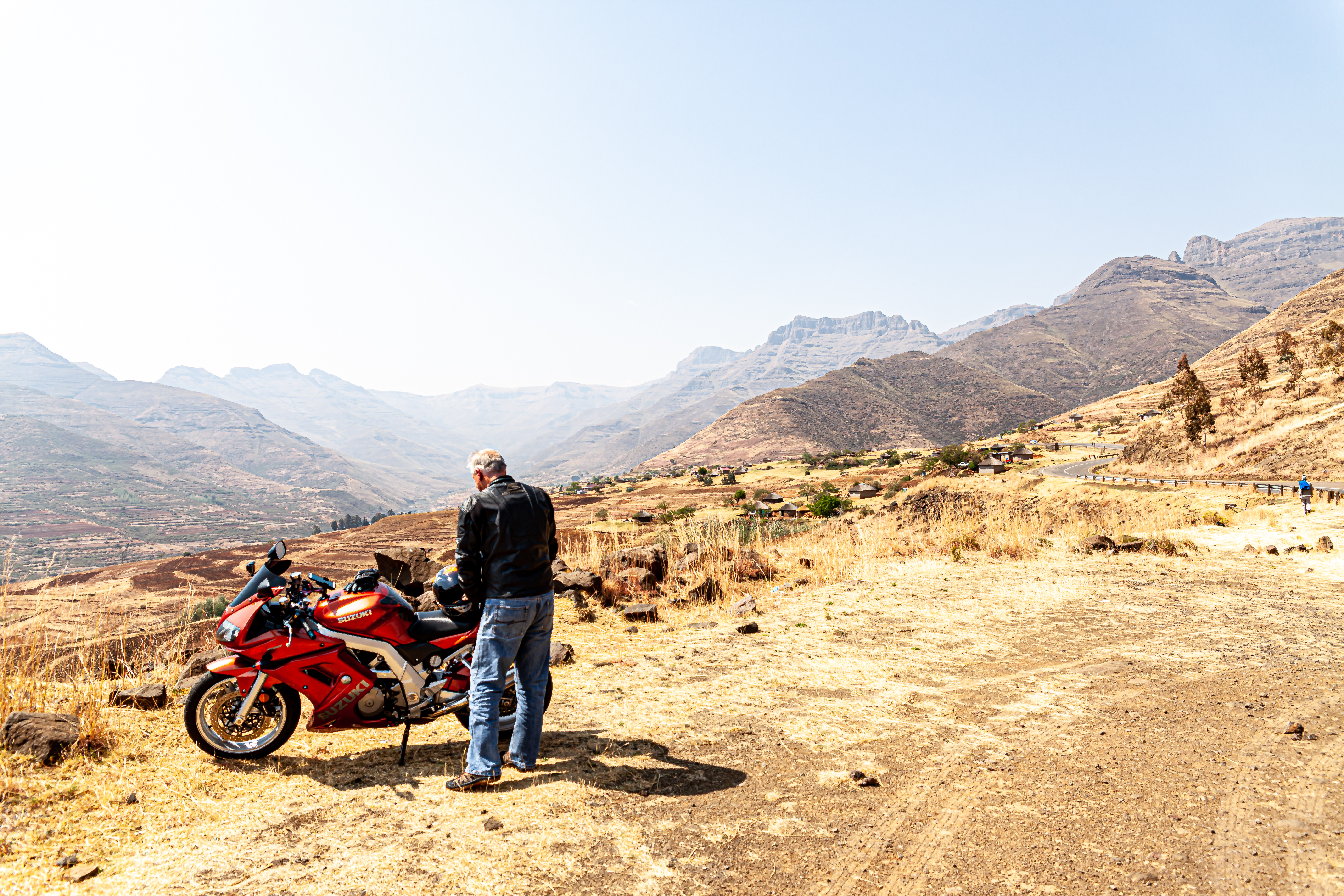
Leribe Airport is an airport serving Hlotse, the camptown (capital) of the Leribe District of Lesotho. The runway is in a large, open field with many cross trails, but does have some side markers along its length. It is less than from the border with South Africa. The Ficksburg non-directional beacon (Ident: FB) is west of the airport. See also * *Transport in Lesotho *List of airports in Lesotho This is a list of airports in Lesotho, sorted by location. __TOC__ List Airport names that are indicated in bold indicate that the facility has scheduled service on commercial airlines. * not officially identified by ICAO See also * Tran ... References External linksOpenStreetMap - Hlotse * * Google Earth [...More Info...] [...Related Items...] OR: [Wikipedia] [Google] [Baidu] |
Hlotse
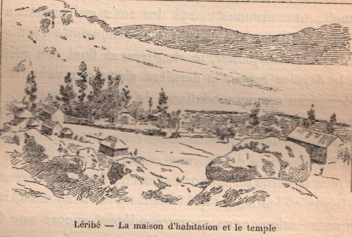
Hlotse (also Leribe) is an important market town in Lesotho. It is situated on the Hlotse River, near the South African border. The town was founded in 1876 by a British missionary, Reverend John Widdicombe. It was a colonial centre until Lesotho gained its independence. The population in 2016 was 38,558. The alternate name, Leribe, comes from the adjacent French Protestant Leribe Mission, founded in 1859 by François Coillard. Hlotse is also called Leribe because it is the camptown in the district of Leribe. The main Basotho Headquarters for Help Lesotho Help Lesotho is a non-governmental organization that was founded in 2004 by Dr. Peg Herbert. Based in Ottawa, Canada, Help Lesotho is made up of dedicated people, working to help prevent HIV/AIDS in the country of Lesotho, which has the 2nd highe ... is in Hlotse. Places of interest Three different sightseeing locations are the Leribe Craft Centre, statue in front of the District Administration office, and an old milit ... [...More Info...] [...Related Items...] OR: [Wikipedia] [Google] [Baidu] |
Camptown (country Subdivision)
A camptown, in the country of Lesotho, refers to a district capital for one of the ten districts of Lesotho. The largest camptown is the city of Maseru in Maseru District. Camptowns are usually commerce hubs for the district and are the location for the central government offices for the district. Camptowns usually take the same name as the district in which they are located. For example, as mentioned the camptown for Maseru is Maseru but also the camptown for Thaba-Tseka District is Thaba-Tseka. The exceptions to this rule are Berea District whose capital is called Teyateyaneng, Quthing District whose capital is called Moyeni and Leribe District whose capital is most often called Hlotse Hlotse (also Leribe) is an important market town in Lesotho. It is situated on the Hlotse River, near the South African border. The town was founded in 1876 by a British missionary, Reverend John Widdicombe. It was a colonial centre until Lesoth .... It presumably derives from the 19th century ... [...More Info...] [...Related Items...] OR: [Wikipedia] [Google] [Baidu] |
Leribe District
Leribè is a district of Lesotho. It has an area of 2,828 km2 and a population in 2016 of approximately 337,500. Hlotse is the capital or camptown of the district. The district has one additional town, namely Maputsoe. In the west, Leribe borders on the Free State Province of South Africa. Domestically, it borders Butha-Buthe District in the north, Mokhotlong District in the east, Thaba-Tseka District in southeast and Berea District in southwest. As of 2006, the district had a population of 293,369 which was 15.63 per cent of the total population of the country. As of 2008, 48% of the population in the district were economically active. There were 191,052 employed people out of a total of 401,258 people in the district above 15 years of age. Demographics As of 2006, the district had a population of 293,369, 15.63 per cent of the population of the country. The area of the district is 2,828 km2, 9.32% of the total area of the country. The population density in the district w ... [...More Info...] [...Related Items...] OR: [Wikipedia] [Google] [Baidu] |
Lesotho
Lesotho ( ), officially the Kingdom of Lesotho, is a country landlocked country, landlocked as an Enclave and exclave, enclave in South Africa. It is situated in the Maloti Mountains and contains the Thabana Ntlenyana, highest mountains in Southern Africa. It has an area of over and has a population of about million. It was previously the British Crown colony of Basutoland, which declared independence from the United Kingdom on 4 October 1966. It is a fully sovereign state and is a member of the United Nations, the Commonwealth of Nations, the African Union, and the Southern African Development Community. The name ''Lesotho'' roughly translates to "land of the Sotho". History Basutoland Basutoland emerged as a single body politic, polity under King Moshoeshoe I in 1822. Moshoeshoe, a son of Mokhachane, a minor tribal chief, chief of the Bakoteli lineage, formed his own clan and became a chief around 1804. Between 1820 and 1823, he and his followers settled at the Buth ... [...More Info...] [...Related Items...] OR: [Wikipedia] [Google] [Baidu] |
South Africa
South Africa, officially the Republic of South Africa (RSA), is the southernmost country in Africa. It is bounded to the south by of coastline that stretch along the South Atlantic and Indian Oceans; to the north by the neighbouring countries of Namibia, Botswana, and Zimbabwe; and to the east and northeast by Mozambique and Eswatini. It also completely enclaves the country Lesotho. It is the southernmost country on the mainland of the Old World, and the second-most populous country located entirely south of the equator, after Tanzania. South Africa is a biodiversity hotspot, with unique biomes, plant and animal life. With over 60 million people, the country is the world's 24th-most populous nation and covers an area of . South Africa has three capital cities, with the executive, judicial and legislative branches of government based in Pretoria, Bloemfontein, and Cape Town respectively. The largest city is Johannesburg. About 80% of the population are Black South Afri ... [...More Info...] [...Related Items...] OR: [Wikipedia] [Google] [Baidu] |
Non-directional Beacon
A non-directional beacon (NDB) or non-directional radio beacon is a radio beacon which does not include directional information. Radio beacons are radio transmitters at a known location, used as an aviation or marine navigational aid. NDB are in contrast to directional radio beacons and other navigational aids, such as low-frequency radio range, VHF omnidirectional range (VOR) and tactical air navigation system (TACAN). NDB signals follow the curvature of the Earth, so they can be received at much greater distances at lower altitudes, a major advantage over VOR. However, NDB signals are also affected more by atmospheric conditions, mountainous terrain, coastal refraction and electrical storms, particularly at long range. The system, developed by United States Air Force (USAF) Captain Albert Francis Hegenberger, was used to fly the world's first instrument approach on May 9, 1932. Types of NDBs NDBs used for aviation are standardised by International Civil Aviation Organizat ... [...More Info...] [...Related Items...] OR: [Wikipedia] [Google] [Baidu] |
Transport In Lesotho
This article concerns systems of transport in Lesotho. As a landlocked country, Lesotho has no seaports or harbours, but does have road, air transport, and limited rail infrastructure. Roads Prior to Lesotho's independence in 1966, the only paved road in the country was the Kingsway in the capital, Maseru, between the Mejametalana Airport and the Royal Palace. Since the early 1970s, the road infrastructure has been substantially developed. In 1999, Lesotho had a road network measuring at in length, of which were paved. The most weight has been given to connecting the district centres, but the roads within central Lesotho have also been improved, as part of the construction needs of the Lesotho Highlands Water Project. Railways The only railway line in Lesotho is the Maseru branch line, which connects the capital city Maseru to the Bloemfontein–Bethlehem line in the railway network of South Africa. The final of this line, which opened on 18 December 1905, lies within t ... [...More Info...] [...Related Items...] OR: [Wikipedia] [Google] [Baidu] |
List Of Airports In Lesotho ...
This is a list of airports in Lesotho, sorted by location. __TOC__ List Airport names that are indicated in bold indicate that the facility has scheduled service on commercial airlines. * not officially identified by ICAO See also * Transport in Lesotho * List of airports by ICAO code: F#FX - Lesotho * Wikipedia: WikiProject Aviation/Airline destination lists: Africa#Lesotho References * * External links * Lists of airports in Lesotho: *Great Circle Mapper**World Aero Data {{Africa in topic, List of airports in Lesotho Airports Airports Lesotho Lesotho ( ), officially the Kingdom of Lesotho, is a country landlocked country, landlocked as an Enclave and exclave, enclave in South Africa. It is situated in the Maloti Mountains and contains the Thabana Ntlenyana, highest mountains in Sou ... [...More Info...] [...Related Items...] OR: [Wikipedia] [Google] [Baidu] |


