|
Leeds Supertram
The Leeds Supertram was a proposed light rail/tram system in Leeds and West Yorkshire in England. It would have been a three-line, system with 50 stations. It received provisional government approval in 2001, and was specifically for corridors ill-served by the existing heavy rail network. Supertram would have been 75% funded from the public sector, with final contracts for construction and a 27-year operating concession due to have been awarded in 2003. By 2004, disquiet about rising costs had caused the scheme to be scaled back, and it was finally cancelled in 2005 by the Transport Secretary, Alistair Darling. The northern branch would have served the universities and Headingley, running to a park and ride site at Lawnswood. The eastern branch would have run to Seacroft and Whinmoor, and the southern arm would have served Hunslet, Belle Isle and Middleton with another park and ride by the M621 motorway. In the city centre, trams were to have linked to the bus and rail sta ... [...More Info...] [...Related Items...] OR: [Wikipedia] [Google] [Baidu] |
City Square, Leeds
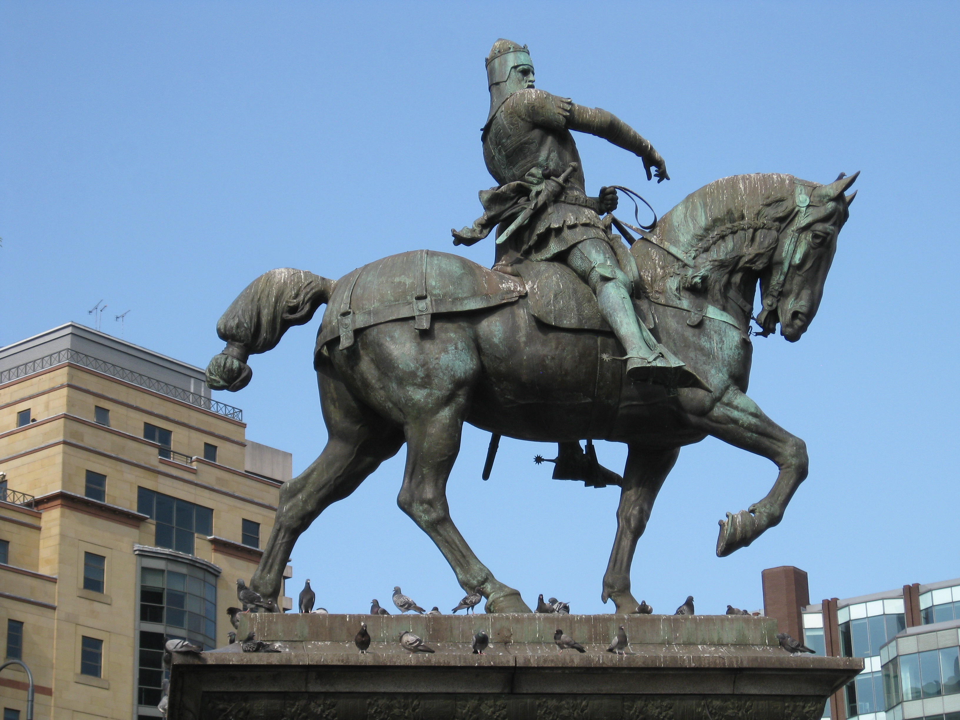
City Square is a paved area north of Leeds railway station at the junction of Park Row to the east and Wellington Street to the south. It is a triangular area where six roads meet: Infirmary Street and Park Row to the north, Boar Lane and Bishopsgate Street to the south-east, and Quebec Street and Wellington Street to the south-west. The only building with a direct frontage is the former General Post Office, on the north-west side. History Proposals were made in 1893 to transform the area in front of the station. The demolition of Leeds' Coloured Cloth Hall and Quebec House gave an open space in which a new General Post Office was constructed in 1896 with a public space in front. One proposal was to name the development after John Smeaton, the famous local engineer, but the council unanimously opted to call it City Square, as Leeds was being made a city that year. The initial plan had tramway waiting rooms, and public lavatories welcoming new visitors to Leeds. However, Col ... [...More Info...] [...Related Items...] OR: [Wikipedia] [Google] [Baidu] |
Hunslet
Hunslet () is an inner-city area in south Leeds, West Yorkshire, England. It is southeast of the Leeds city centre, city centre and has an industrial past. It is situated in the Hunslet and Riverside (ward), Hunslet and Riverside ward of Leeds City Council and Leeds South (UK Parliament constituency), Leeds South parliamentary constituency. The population of the previous City and Hunslet council ward at the 2011 census was 33,705. Many engineering companies were based in Hunslet, including John Fowler & Co. manufacturers of traction engines and steam rollers, the Hunslet Engine Company builders of locomotives (including those used during the construction of the Channel Tunnel), Kitson & Co., Manning Wardle and Hudswell Clarke. Many railway locomotives were built in the Jack Lane area of Hunslet. The area has a mixture of modern and 19th century industrial buildings, terraced house, terraced housing and 20th century housing. It is an area that has grown up significantly aroun ... [...More Info...] [...Related Items...] OR: [Wikipedia] [Google] [Baidu] |
Kirkgate, Leeds
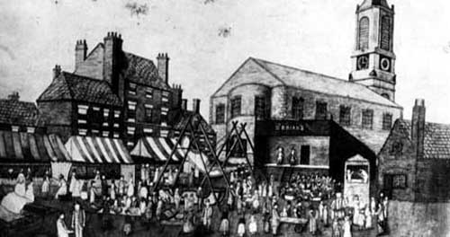
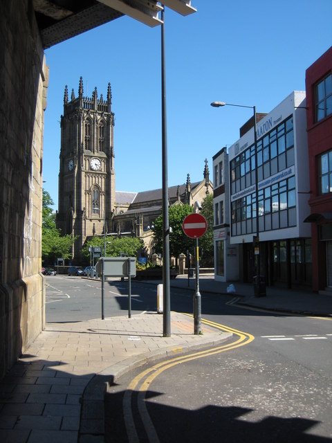
Kirkgate () is a street in the city centre of Leeds, in England. History The street originated in the Mediaeval period, leading from the centre of the settlement to the parish church. The Anglo-Saxon Leeds Cross was found when the church was replaced by the current Leeds Minster, in the 19th century. By the time of the Domesday Book, Leeds also had a manor house, which lay on the street. The street became associated with cloth manufacturing, and in 1711, the First White Cloth Hall was constructed on the street. Other early buildings included a chantry, built in 1430, later replaced by a vicarage, the town's bakehouse, and a prison, built in 1655. The city's first hospital was established in a house on the street in 1767. In 1790, the Ancient Order of Foresters was founded at the Crown Inn on the street, although the building was demolished in 1935. In the 19th century, the Kirkgate Market was constructed at the city centre end of the street, while a railway line was built, ... [...More Info...] [...Related Items...] OR: [Wikipedia] [Google] [Baidu] |
The Headrow
The Headrow is an avenue in Leeds city centre, West Yorkshire, England. It is one of the most important thoroughfares in central Leeds, hosting many of the city's civic and cultural buildings, including Leeds Town Hall, Leeds Central Library, Leeds Art Gallery, The Henry Moore Institute, and The Light. Some of the largest retail floorplates in the city are on The Headrow, particularly between Park Row and Briggate, where major chains have opened flagship stores. The Headrow is part of a longer axis that includes Westgate, Eastgate, and Quarry Hill. The Headrow forms a spine across the city centre between Westgate and Eastgate and is approximately ½ mile (700 m) long. It was widened between 1928 and 1932 in a redevelopment designed by architect Reginald Blomfield, primarily as a way of improving traffic flow through city centre. The area has an advisory speed limit of . The section between Park Row and Briggate is reserved for buses and taxis and cars/motorcycles ar ... [...More Info...] [...Related Items...] OR: [Wikipedia] [Google] [Baidu] |
Leeds City Centre
Leeds city centre is the central business district of Leeds, West Yorkshire, England. It is roughly bounded by the Leeds Inner Ring Road, Inner Ring Road to the north and the River Aire to the south and can be divided into several quarters. Areas Under the Headrow The old town is considered the retail core of Leeds, it extends south from buildings on either side of The Headrow to the River Aire. Kirkgate, Leeds, Kirkgate and Briggate are the oldest streets in Leeds, from which the city grew from. Briggate, Leeds, Briggate is home to several chain food and shopping chains, was fully pedestrianised in 1996 and connected the two previously pedestrian areas either side of it. The old town can be further subdivided into several areas: the city square; the Victorian arcades (such as the Grand Arcade (Leeds), Grand Arcade, Thornton's Arcade and the County Arcade); department stores and indoor shopping centres of The Headrow (such as The Light (Leeds), The Light and St John's Cent ... [...More Info...] [...Related Items...] OR: [Wikipedia] [Google] [Baidu] |
Harehills
Harehills is an inner-city area of east Leeds, West Yorkshire, England. It is about northeast of Leeds city centre. Harehills is between the A58 road, A58 (towards Wetherby) and the A64 road, A64 (towards York). It sits in the Gipton and Harehills (ward), Gipton & Harehills ward of Leeds City Council and the Leeds East (UK Parliament constituency), Leeds East House of Commons, parliamentary constituency, between Burmantofts and Gipton, and adjacent to Chapeltown, West Yorkshire, Chapeltown. Its boundaries are defined by the city council as "the boundary of Spencer Place to the West, Harehills Avenue to the North, the boundary of Foundry Place to the East and Compton Road and Stanley Road to the South." As the name suggests, it is a hill area, basically a south-facing slope, with many streets of terraced houses on hills. In the middle is Banstead Park, a grassy slope with trees and play areas, giving a view over the city of Leeds. There are two main shopping streets, Harehil ... [...More Info...] [...Related Items...] OR: [Wikipedia] [Google] [Baidu] |
St James's University Hospital
St James's University Hospital ''Confirming name as "St James's"'' is a Tertiary referral hospital, tertiary hospital in Leeds, West Yorkshire, England and is popularly known as Jimmy's. It is the 8th largest hospital by beds in the United Kingdom, popularised for its television coverage from 1987 to 1996. It is managed by the Leeds Teaching Hospitals NHS Trust. The hospital is home to the Leeds Cancer Centre which provides specialist Oncology services to Leeds and the wider West Yorkshire region. Other specialist services based at St James's include Hepatology, Pathology and the Cystic Fibrosis Unit. History The hospital has its origins in the Leeds Moral and Industrial Training School built in 1848 (which now forms part of the Lincoln Wing). Subsequent early developments included the Leeds Union Workhouse (which now houses the Thackray Museum of Medicine) built in 1858. The chapel, which is a Listed building#Categories of listed building, Grade II listed building, was comp ... [...More Info...] [...Related Items...] OR: [Wikipedia] [Google] [Baidu] |
Hyde Park, Leeds
Hyde Park is an inner-city residential area of north-west Leeds, West Yorkshire, England, situated between the University of Leeds and Headingley. It sits in the Headingley and Hyde Park ward of Leeds City Council. The area is in the centre of the city's student community, being next to Headingley, another large student community. There are also many full-time, long-term, non-student families and single people, and a sizable South Asian community. Before the dense speculative developments of red brick terraced housing in the late Victorian era, the area was the site of the Leeds Royal Park pleasure ground, quarries, and fields in the estate of the Earl of Cardigan. The Hyde Park name was extended to the new neighbourhoods from Hyde Park Corner on the A660, with that nucleus historically being known as Wrangthorn. Toponymy The area surrounding Hyde Park Corner was originally known as Wrangthorn, a name still used in the Church of England parish Woodhouse and Wrangthorn, ... [...More Info...] [...Related Items...] OR: [Wikipedia] [Google] [Baidu] |
University Of Leeds
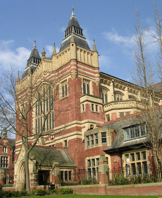
The University of Leeds is a public research university in Leeds, West Yorkshire, England. It was established in 1874 as the Yorkshire College of Science. In 1884, it merged with the Leeds School of Medicine (established 1831) and was renamed Yorkshire College. It became part of the federal Victoria University (UK), Victoria University in 1887, joining Owens College (which became the University of Manchester) and University College Liverpool (which became the University of Liverpool).Charlton, H. B. (1951) ''Portrait of a University''. Manchester: U. P.; chap. IV In 1904, a royal charter was granted to the University of Leeds by Edward VII, King Edward VII. Leeds is the list of universities in the United Kingdom by enrolment, tenth-largest university in the United Kingdom by total enrolment and receives over 68,000 undergraduate applications per year, making it the fourth-most popular university (behind University of Manchester, Manchester, University College London and King's C ... [...More Info...] [...Related Items...] OR: [Wikipedia] [Google] [Baidu] |
Weetwood
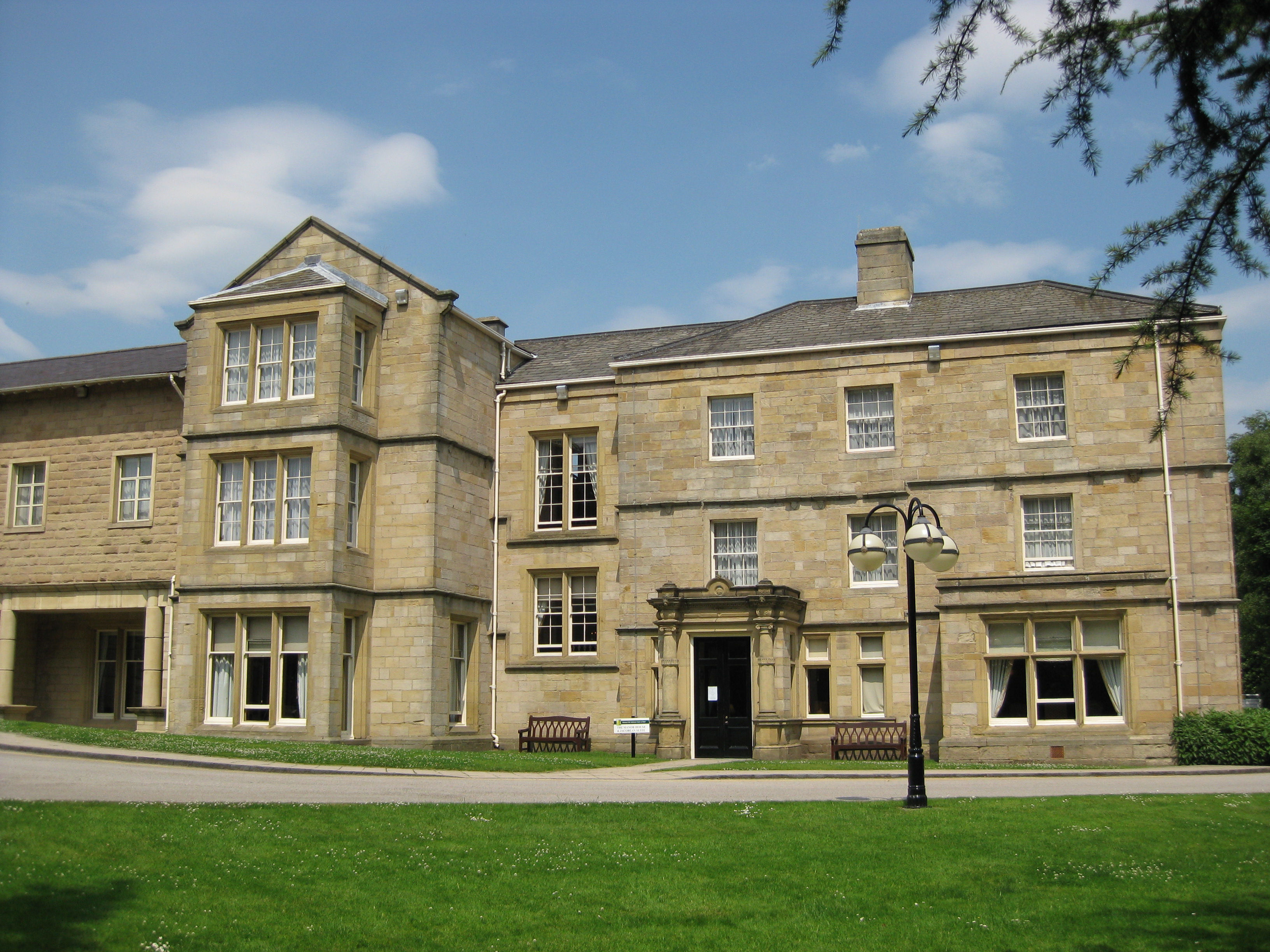
Weetwood is an area between Headingley and Meanwood in north-west Leeds, West Yorkshire, England. It is bounded on the north by the A6120 (Outer Ring Road), on the west by the A660 (Otley Road), on the east by Meanwood Beck and to the south by Hollin Lane. Weetwood Lane runs north and south through it. The area lends its name to and sits in the Weetwood ward of Leeds City Council, which is also part of Leeds Central and Headingley parliamentary constituency. Politics The Weetwood ward for local government purposes includes areas known as Far Headingley (south of the above), West Park (west of the A660), Ireland Wood (north of the A6120), and Tinshill. Its three Leeds City Councillors and the terms for which they are currently elected, are Izaak Wilson ( Labour Party, 2022–2026), Jools Heselwood (Labour Party, 2023–2027) and Emma Flint (Labour Party, 2024–2028). The population of this ward was 22,375 at the 2011 Census. Weetwood is part of the ... [...More Info...] [...Related Items...] OR: [Wikipedia] [Google] [Baidu] |
Tingley
Tingley is a suburban village in the City of Leeds in West Yorkshire, Northern England, forming part of the parish of West Ardsley. Tingley forms part of the Heavy Woollen District. It is situated between the cities of Leeds and Wakefield. Most of Tingley sits in the Ardsley and Robin Hood ward of Leeds City Council, whilst west Tingley forms part of Morley South ward. Both wards are part of the Leeds South West and Morley parliamentary constituency. Geography Historically part of the West Riding of Yorkshire, Tingley is situated between Leeds, Wakefield and Bradford but considered part of Morley. It has the WF3 (Wakefield) postcode area while the area's telephone numbers use "0113", the Leeds prefix. Etymology The name ''Tingley'' is first attested in the thirteenth century, and on through the Middle Ages, in forms such as ''Thing(e)law(e)'', and ''Tinglawe'' in 1608. The name comes from Old English ''þing'' ('meeting, assembly') and ''hlāw'' ('mound, hill, buri ... [...More Info...] [...Related Items...] OR: [Wikipedia] [Google] [Baidu] |
Stourton, Leeds
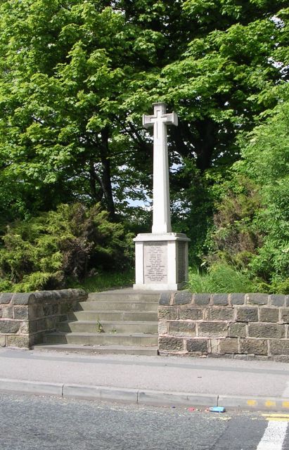
Stourton is a mainly industrial area of the city of Leeds, West Yorkshire, England. The area falls within the City and Hunslet ward of Leeds Metropolitan Council. Location The area is to the south-east of Leeds city centre, between Hunslet, the M1 motorway and Cross Green in the LS10 postcode area. History Until the local boundary changes in the 1970s Stourton was a village in the Rothwell Urban District, attached to the southernmost border of Leeds, and administered by the West Riding County Council. Stourton dates from the Industrial Revolution, and was a community of about 2,500 people with its own churches and pubs, but from the 1970s the housing was demolished to make way for motorways and industrial developments, until by 1990 little remained of the village except its war memorial. This memorial to "the men of Stourton and Thwaitegate" lists 75 names from the First World War and 25 from the Second. It was moved from its original site to a new one donated by Waddingto ... [...More Info...] [...Related Items...] OR: [Wikipedia] [Google] [Baidu] |

