|
Lausitzer Neiße
The Lusatian Neisse (german: Lausitzer Neiße; pl, Nysa Łużycka; cs, Lužická Nisa; Upper Sorbian: ''Łužiska Nysa''; Lower Sorbian: ''Łužyska Nysa''), or Western Neisse, is a river in northern Central Europe.''Neisse River'' at www.britannica.com. Retrieved 4 Feb 2011. at http://eagri.cz/public. Retrieved 4 Feb 2011. It rises in the , near |
Krauschwitz
Krauschwitz ( hsb, Krušwica) is a municipality in the Görlitz district of Saxony, Germany at the border with Poland. It is situated on the western banks of the Lusatian Neisse river, south of Bad Muskau. The municipality was established on 1 January 1994 by the merger of the villages Klein Priebus, Krauschwitz, Pechern, Podrosche, Sagar, Skerbersdorf, and Werdeck. The municipality is part of the recognized Sorbian settlement area in Saxony. Upper Sorbian has an official status next to German, all villages bear names in both languages. The settlement ''Kruswica'', after Upper Sorbian: ''Krušwa'' ("pear"), was first mentioned in a 1400 deed. Most of the area then belonged to the Upper Lusatian Muskau state country, except for the village of Pechern (''Pěchč''), which - together with abandoned Neudorf - formed the westernmost part of the Silesian Duchy of Żagań. At Podrosche (''Podroždź'') is a road border crossing to the Polish village of Przewóz. Twin towns * Gmi ... [...More Info...] [...Related Items...] OR: [Wikipedia] [Google] [Baidu] |
Central Statistical Office (Poland)
Statistics Poland (formerly known in English as the Central Statistical Office ( pl, Główny Urząd Statystyczny, popularly called GUS)) is Poland's chief government executive agency charged with collecting and publishing statistics related to the country's economy, population, and society, at the national and local levels. The president of Statistics Poland (currently Dominik Rozkrut) reports directly to the Prime Minister of Poland and is considered the equivalent of a Polish government minister. The agency was established on 13 July 1918 by Ludwik Krzywicki, one of the most notable sociologists of his time. Inactive during World War II, GUS was reorganized in March 1945 and as of 31 July 1947 was under control of the Ordinance of the Council of Ministers (along with the Organization of Official Statistics). The office is divided into several separate branches, each responsible for a different set of data. The branches include the Divisions of Coordination of Statistical Su ... [...More Info...] [...Related Items...] OR: [Wikipedia] [Google] [Baidu] |
List Of International Border Rivers
This is a List of international river borders. Rivers that form any portion of the border between two countries minimum: By region Africa 300px, Countries in Africa The following rivers form borders of countries in Africa: * Akanyaru River: Rwanda and Burundi * Akagera River: Rwanda and Tanzania * Bahr al-Arab: Sudan and South Sudan *Caledon River: Lesotho and South Africa * Chobe River: Namibia and Botswana * Congo River: Democratic Republic of Congo and Republic of Congo * Donga River: Nigeria and Cameroon * Kagitumba river: Rwanda, Uganda and Tanzania * Kasai River and Kwango River: Democratic Republic of Congo and Angola * Kunene River: Namibia and Angola * Limpopo River: South Africa and Botswana * Limpopo River: South Africa and Zimbabwe * Luapula River: Democratic Republic of Congo and Zambia * Niger River: Benin and Niger * Okavango River: Namibia and Angola * Orange River: Namibia and South Africa * Rusizi River: Burundi and Democratic Republic of the Congo * Rusizi ... [...More Info...] [...Related Items...] OR: [Wikipedia] [Google] [Baidu] |
Lusatia
Lusatia (german: Lausitz, pl, Łużyce, hsb, Łužica, dsb, Łužyca, cs, Lužice, la, Lusatia, rarely also referred to as Sorbia) is a historical region in Central Europe, split between Germany and Poland. Lusatia stretches from the Bóbr and Kwisa rivers in the east to the Pulsnitz and Black Elster rivers in the west, and is located within the German states of Saxony and Brandenburg as well as in the Polish voivodeships of Lower Silesia and Lubusz. Lusatia's central rivers are the Spree and the Lusatian Neisse, which constitutes the border between Germany and Poland since 1945 (Oder–Neisse line). The Lusatian Mountains (part of the Sudetes), separate Lusatia from Bohemia (Czech Republic) in the south. Lusatia is traditionally divided into Upper Lusatia (the hilly southern part) and Lower Lusatia (the flat northern part). The areas east and west along the Spree in the German part of Lusatia are home to the Slavic Sorbs, one of Germany's four officially recognized indige ... [...More Info...] [...Related Items...] OR: [Wikipedia] [Google] [Baidu] |
Raging Neisse
The Raging NeisseDodge, Lt Col Theodore Ayrault. ''Napoleon: A History of the Art of War. Vol. IV'', 2014 ( pl, Nysa Szalona, or ''Jauersche Neiße'') is a river in Poland. It has a length of about and flows into the Kaczawa (Katzbach), which in turn flows into the Oder. Its largest tributary is the Little Neisse. The Raging Neisse rises at a height of on the western side of a mountain called the Kokosz on the Waldenburg Heights. It flows down through the lowlands among the foothills of the Sudetes and the heights of Hainau, through the towns of Bolków (''Bolkenhain'') and Jawor (''Jauer''). It then merges with the Kaczawa (''Katzbach'') at a height of not far from Jawor near the village of Slup (''Schlaup'') on the battlefield of the Battle of Katzbach. During heavy rain and due to its mountainous character, the water level of this small river can rise by up to 2.5 metres or about 8 feet, whence its name, the "Raging" Neisse. Napoleonic Wars The river became famous ... [...More Info...] [...Related Items...] OR: [Wikipedia] [Google] [Baidu] |
Eastern Neisse
The Eastern Neisse, also known by its Polish name of Nysa Kłodzka (german: Glatzer Neiße, cs, Kladská Nisa), is a river in southwestern Poland, a left tributary of the Oder, with a length of 188 km (21st longest) and a basin area of 4,570 km2 (3,742 in Poland). Prior to World War II it was part of Germany. During the Yalta Conference it was discussed by the Allies of World War II, Western Allies as one possible line of the western Polish border. Attempts were made to negotiate a compromise with the Soviet Union, Soviets on the new Polish-German frontier; it was suggested that the Eastern Neisse be made the line of demarcation. This would have meant that (East) Germany could have retained approximately half of Silesia, including most of Wrocław (formerly Breslau). However the Soviets rejected the suggestion at the Potsdam Conference and insisted that the southern boundary between Germany and Poland be drawn further west, at the Lusatian Neisse.Brogan, Patrick (1990). ' ... [...More Info...] [...Related Items...] OR: [Wikipedia] [Google] [Baidu] |
World War II
World War II or the Second World War, often abbreviated as WWII or WW2, was a world war that lasted from 1939 to 1945. It involved the vast majority of the world's countries—including all of the great powers—forming two opposing military alliances: the Allies and the Axis powers. World War II was a total war that directly involved more than 100 million personnel from more than 30 countries. The major participants in the war threw their entire economic, industrial, and scientific capabilities behind the war effort, blurring the distinction between civilian and military resources. Aircraft played a major role in the conflict, enabling the strategic bombing of population centres and deploying the only two nuclear weapons ever used in war. World War II was by far the deadliest conflict in human history; it resulted in 70 to 85 million fatalities, mostly among civilians. Tens of millions died due to genocides (including the Holocaust), starvation, ma ... [...More Info...] [...Related Items...] OR: [Wikipedia] [Google] [Baidu] |
Potsdam Agreement
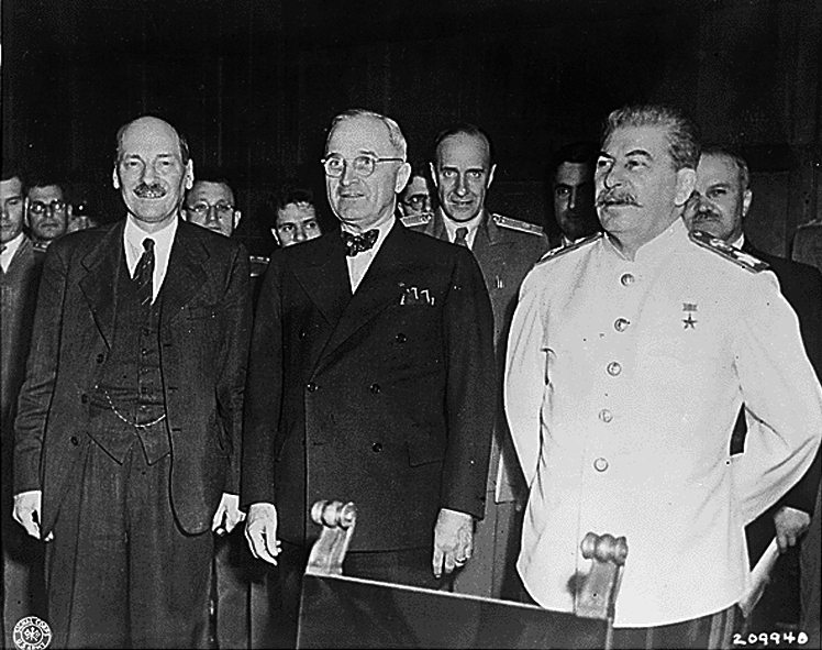
The Potsdam Agreement (german: Potsdamer Abkommen) was the agreement between three of the Allies of World War II: the United Kingdom, the United States, and the Soviet Union on 1 August 1945. A product of the Potsdam Conference, it concerned the military occupation and reconstruction of Germany, its border, and the entire European Theatre of War territory. It also addressed Germany's demilitarisation, reparations, the prosecution of war criminals and the Flight and expulsion of Germans (1944–1950), mass expulsion of ethnic Germans from various parts of Europe. Executed as a communiqué, the agreement was not a peace treaty according to international law, although it created accomplished facts. It was superseded by the Treaty on the Final Settlement with Respect to Germany signed on 12 September 1990. As De Gaulle had not been invited to the Conference, the French resisted implementing the Potsdam Agreements within their occupation zone. In particular, the French refused to ... [...More Info...] [...Related Items...] OR: [Wikipedia] [Google] [Baidu] |
Gubin, Poland
Gubin (german: Guben) is a town in Krosno Odrzańskie County, Lubusz Voivodeship, in western Poland. It is the administrative seat of the rural Gmina Gubin, though not part of it. Gubin is on the right bank of the Lusatian Neisse river, at the border with Germany. The rail and road border crossings are connected with the German town of Guben, of which Gubin was the central and eastern part until the division of the city by the Oder–Neisse line in 1945. Geography Gubin is situated in the Polish part of the historic Lower Lusatia region, at the confluence of the Neisse and Lubsza rivers. It is located on the national road 32 operating as an orbital road for Gubin. It starts at the border crossing with Guben, runs to Krosno Odrzańskie and the regional capital Zielona Góra, and further leads to the national road 5 that connects Wrocław and Poznań. Gubin also has a railway border crossing on the line from Guben to Zbąszyń. The municipal area of Gubin comprises 20.68 km ... [...More Info...] [...Related Items...] OR: [Wikipedia] [Google] [Baidu] |
Guben
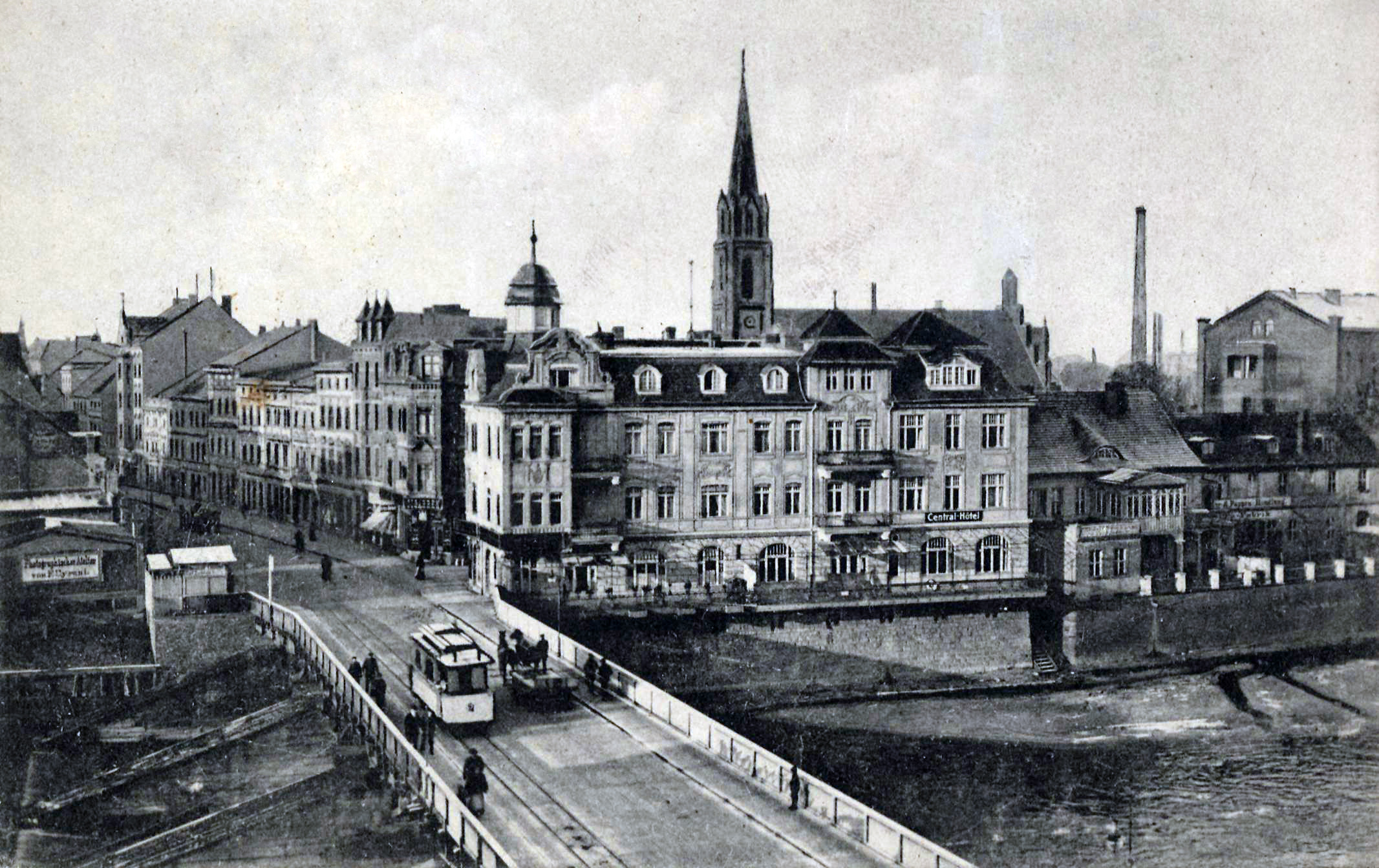
Guben (Polish and Sorbian: ''Gubin'') is a town on the Lusatian Neisse river in Lower Lusatia, in the state of Brandenburg, Germany. Located in the Spree-Neiße district, Guben has a population of 20,049. Along with Frankfurt (Oder) and Görlitz, Guben is a divided city on the border between Germany and Poland, having been separated into Guben and Gubin in 1945 by the Oder–Neisse line. Geography Environment Guben is located in the district (Landkreis) of Spree-Neiße in the southeast of the state of Brandenburg. It is in the historical region of Lower Lusatia. Guben's position on the banks of the Lusatian Neisse between two plateaus was advantageous in its early economic development. These plateaus developed from ground moraines of the Wisconsin glaciation period. Both the western (''Kaltenborner Berge'' = Kaltenborn Hills) and eastern (''Gubener Berge'' = Guben Hills) ended up as terminal moraines. The surrounding land is covered with pine forests and lakes. Districts ... [...More Info...] [...Related Items...] OR: [Wikipedia] [Google] [Baidu] |
Kosarzyn, Lubusz Voivodeship
Kosarzyn (german: Kuschern) is a village in the administrative district of Gmina Gubin, within Krosno Odrzańskie County, Lubusz Voivodeship, in western Poland, close to the German border. It lies approximately north of Gubin, west of Krosno Odrzańskie Krosno Odrzańskie (german: Crossen an der Oder) is a city on the east bank of Oder River, at the confluence with the Bóbr. The town in Western Poland with 11,319 inhabitants (2019) is the capital of Krosno County. It is assigned to the Lubusz ..., west of Zielona Góra, and south-west of Gorzów Wielkopolski. References Kosarzyn {{KrosnoOdrzańskie-geo-stub ... [...More Info...] [...Related Items...] OR: [Wikipedia] [Google] [Baidu] |


