|
Lampėdžiai Bridge
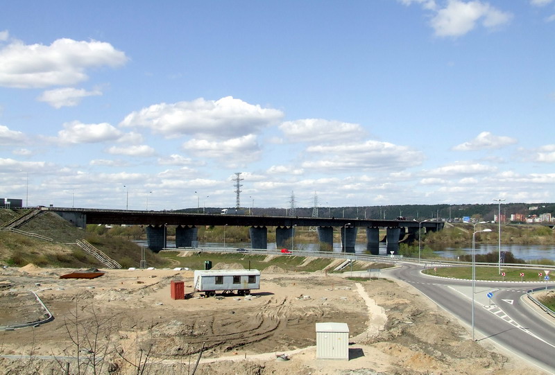
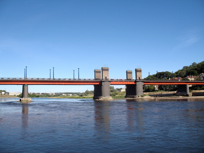
 Lampėdžiai Bridge ( lt, Lampėdžių tiltas) is a bridge in Kaunas, Lithuania. It crosses the Nemunas River to connect Marvelė in Aleksotas district and Lampėdžiai neighbourhood in Vilijampolė elderate. The bridge is 446 metres in length. It carries four lanes of automobile traffic, with two lanes in each direction. The bridge, completed in 1997, is also named after a Lithuanian roadman Česlovas Radzinauskas. Lampėdžiai Bridge is a part of European route E67, Via Baltica and A5 highway (Lithuania), A5 highway of Lithuania, and western Bypass (road), bypass of Kaunas.
Road bridges in Lithuania
Bridges in Kaunas
Bridges completed in 1997
{{Lithuania-bridge-struct-stub ...
[...More Info...] [...Related Items...] OR: [Wikipedia] [Google] [Baidu] |
Kaunas
Kaunas (; ; also see other names) is the second-largest city in Lithuania after Vilnius and an important centre of Lithuanian economic, academic, and cultural life. Kaunas was the largest city and the centre of a county in the Duchy of Trakai of the Grand Duchy of Lithuania and Trakai Palatinate since 1413. In the Russian Empire, it was the capital of the Kaunas Governorate from 1843 to 1915. During the interwar period, it served as the temporary capital of Lithuania, when Vilnius was seized and controlled by Poland between 1920 and 1939. During that period Kaunas was celebrated for its rich cultural and academic life, fashion, construction of countless Art Deco and Lithuanian National Romanticism architectural-style buildings as well as popular furniture, the interior design of the time, and a widespread café culture. The city interwar architecture is regarded as among the finest examples of European Art Deco and has received the European Heritage Label. It contributed to ... [...More Info...] [...Related Items...] OR: [Wikipedia] [Google] [Baidu] |
Lithuania
Lithuania (; lt, Lietuva ), officially the Republic of Lithuania ( lt, Lietuvos Respublika, links=no ), is a country in the Baltic region of Europe. It is one of three Baltic states and lies on the eastern shore of the Baltic Sea. Lithuania shares land borders with Latvia to the north, Belarus to the east and south, Poland to the south, and Russia to the southwest. It has a Maritime boundary, maritime border with Sweden to the west on the Baltic Sea. Lithuania covers an area of , with a population of 2.8 million. Its capital and largest city is Vilnius; other major cities are Kaunas and Klaipėda. Lithuanians belong to the ethno-linguistic group of the Balts and speak Lithuanian language, Lithuanian, one of only a few living Baltic languages. For millennia the southeastern shores of the Baltic Sea were inhabited by various Balts, Baltic tribes. In the 1230s, Lithuanian lands were united by Mindaugas, Monarchy of Lithuania, becoming king and founding the Kingdom of Lithuania ... [...More Info...] [...Related Items...] OR: [Wikipedia] [Google] [Baidu] |
Nemunas River
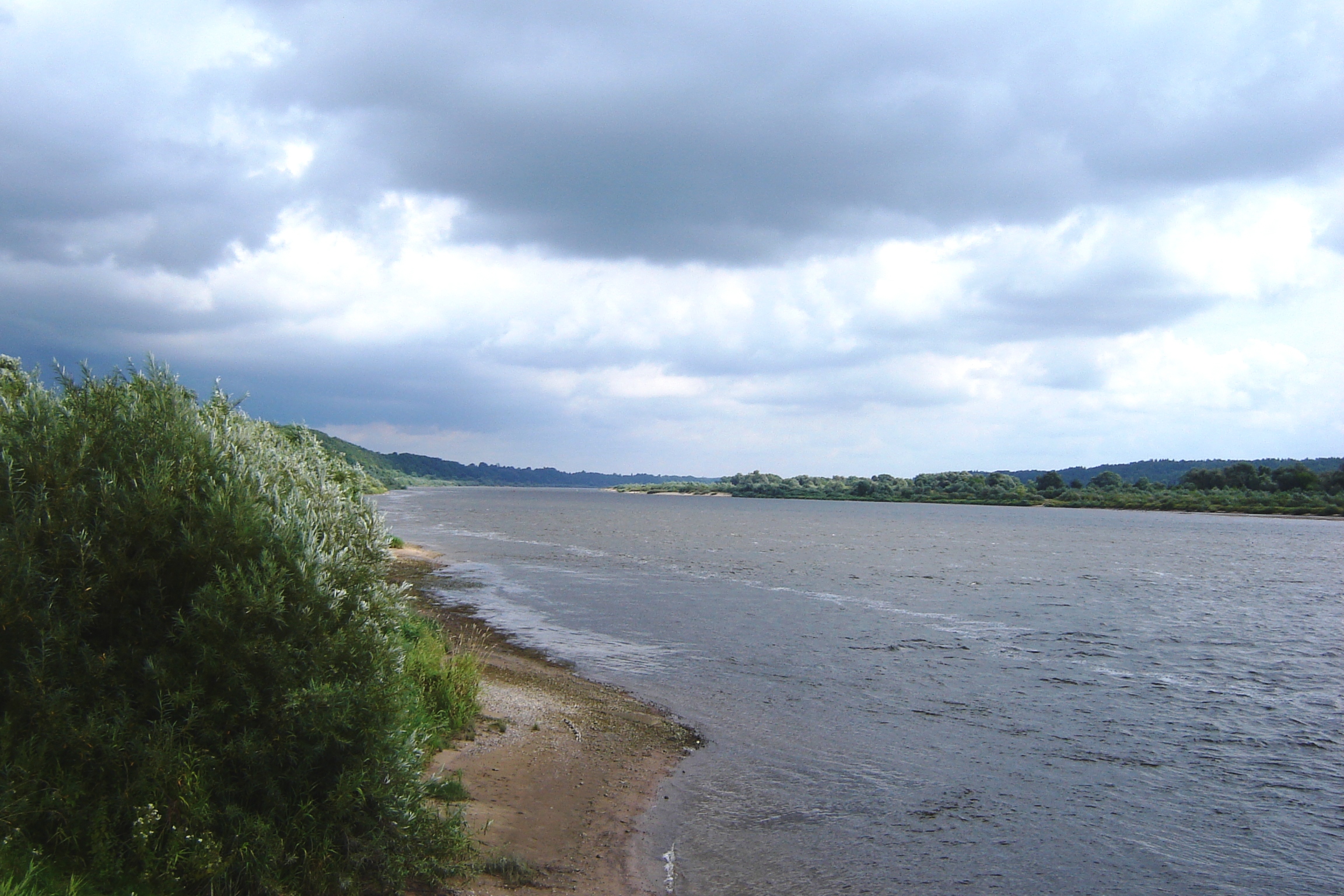
The Neman, Nioman, Nemunas or MemelTo bankside nations of the present: Lithuanian: be, Нёман, , ; russian: Неман, ''Neman''; past: ger, Memel (where touching Prussia only, otherwise Nieman); lv, Nemuna; et, Neemen; pl, Niemen; ; uk, Німан, ''Niman'' is a river in Europe that rises in central Belarus and flows through Lithuania then forms the northern border of Kaliningrad Oblast, Russia's western exclave, which specifically follows its southern channel. It drains into the Curonian Lagoon, narrowly connected to the Baltic Sea. It flows about , so is considered a major Eastern European river. It flows generally west to Grodno within of the Polish border, north to Kaunas, then westward again to the sea. The largest river in Lithuania, and the third-largest in Belarus, it is navigable for most of its length. It starts from two small headwaters merging about southwest of the town of Uzda – about southwest of capital city Minsk. Only , an eastward mea ... [...More Info...] [...Related Items...] OR: [Wikipedia] [Google] [Baidu] |
Aleksotas District
The Aleksotas elderate ( lt, Aleksoto Seniunija) is an elderate in the southern section of the city of Kaunas, Lithuania, bordering the left bank of the Nemunas River. Its population in 2006 was 21,694. The elderate borders Vilijampolė and Centras in the north, Šančiai and Panemunė in the east, Garliava in the south as well as Akademija in the west. History There is evidence that during pre-Christian times a pagan shrine was located here. The suburb was founded in 1408, when Vytautas the Great granted the woods that stood here to the city of Kaunas. Until the 16th century it was called ''Svirbigala'', derived from the rivulet Svirbė. The name Aleksotas was used from the 16th century on, and is thought to be derived from the word ''aleksotai'' (shipyards) since many Nemunas River transport operations were located there. After the final Partition of the Polish-Lithuanian Commonwealth in 1795, Aleksotas, unlike most of Lithuania, became part of Prussia, until 1807 when Napoleon ... [...More Info...] [...Related Items...] OR: [Wikipedia] [Google] [Baidu] |
Vilijampolė
Vilijampolė is a neighborhood in the city of Kaunas, Lithuania, located on the right bank of the Neris River and the Nemunas River, near their confluence. Part of a larger which consists of Vilijampolė, , , and neighorhoods, and covers 1,720 hectares with population of 32,000 people. In the past it was a separate town by Kaunas. Popular nickname ''Slabotkė'' is still in use, derived from the Polish name of the place ''Słobódka Wiliampolska''. The word ''Wiliampolska'' is an adjective from "Wiliampol" ("Wilia town") derived from the Slavic name of the nearby Neris river - ''Wilia'' and "słobódka" means "little ''sloboda''". Later this name was Lithuanised into "Vilijampolė". Historically, it was the home of the Slabodka yeshiva, or Yeshivas Knesses Yisrael, and the main site of the Kaunas Ghetto. The Lithuanian Veterinary Academy campus is located in the neighbourhood. Two bridges across the Neris connects Vilijampolė with the main part of the city. Petras Vileišis Br ... [...More Info...] [...Related Items...] OR: [Wikipedia] [Google] [Baidu] |
European Route E67
European route E 67 is an E-road running from Prague in the Czech Republic to Estonia and by ferry to Finland. It goes via Prague, Wrocław, Warsaw, Kaunas, Panevėžys, Riga, Tallinn, Helsinki. The route is known as the Via Baltica between Warsaw and Tallinn, a distance of . It is a significant road connection between the Baltic states and Poland. The route is mostly ordinary road, but there are plans to convert it into a motorway or expressway, in Poland called S8 (326 of 379 km completed ) and S61 (178,6 of 235 km completed ). Along the Via Baltica highway, the stretch of European route E67 between Warsaw and Tallinn, a 5G mobile network will be built in order to facilitate self-driving vehicles and expand opportunities for freight carriers. Environmental concerns The Via Baltica attracted great controversy in 2007, as its planned new express road was to take it through several areas in Poland of great natural value. Most controversial was the ... [...More Info...] [...Related Items...] OR: [Wikipedia] [Google] [Baidu] |
A5 Highway (Lithuania)
The A5 highway is a highway in Lithuania ( Magistralinis kelias). It runs from Kaunas to the Polish border, toward Suwałki and ultimately Warsaw. The length of the road is . A section of the A5 highway - Kaunas-Marijampolė, has been upgraded to a motorway, accessed only via grade-separated junctions. It is the first motorway built after Lithuania entered the European Union in 2004. The remainder of the road is being upgraded to motorway specifications. It will connect Kaunas with expressway S61 in Poland. The road will be only motorway connection between the Lithuanian motorway network and the rest of the European motorway network. Most of the A5 highway is coded Via Baltica in the European route system. The E67 highway ultimately connects Prague with Tallinn/Helsinki. Principal cities along the route *Kaunas *Marijampolė Marijampolė (; also known by several other names) is a cultural and industrial city and the capital of the Marijampolė County in the south of Lithu ... [...More Info...] [...Related Items...] OR: [Wikipedia] [Google] [Baidu] |
Bypass (road)
A bypass is a road or highway that avoids or "bypasses" a built-up area, town, or village, to let through traffic flow without interference from local traffic, to reduce congestion in the built-up area, and to improve road safety. A bypass specifically designated for trucks may be called a truck route. If there are no strong land use controls, buildings are often built in town along a bypass, converting it into an ordinary town road, and the bypass may eventually become as congested as the local streets it was intended to avoid. Petrol station A filling station, also known as a gas station () or petrol station (), is a facility that sells fuel and engine lubricants for motor vehicles. The most common fuels sold in the 2010s were gasoline (or petrol) and diesel fuel. Gaso ...s, shopping centres and some other businesses are often built there for ease of access, while homes are often avoided for noise and pollution reasons. Bypass routes are often controversial, ... [...More Info...] [...Related Items...] OR: [Wikipedia] [Google] [Baidu] |
Vytautas The Great Bridge
Vytautas the Great Bridge, also known as Aleksotas Bridge before 1930 and from 1940 until 23 February 2008, crosses the Nemunas River to connect Aleksotas and Old Town in Kaunas, Lithuania. Its length exceeds 256 meters, and its width is of 16 meters. The means of payment for the building of the bridge was arranged back in 1927. After several stages of competition, Copenhagen-based engineers obtained the rights to build the bridge. Finally, on January 11, 1930, the bridge was completed being named after Grand Duke of Lithuania Vytautas the Great. During World War II World War II or the Second World War, often abbreviated as WWII or WW2, was a world war that lasted from 1939 to 1945. It involved the vast majority of the world's countries—including all of the great powers—forming two opposin ..., the bridge was blown up twice. Due to the strategic relevance of the city Kaunas, the bridge was rebuilt in 1948 by architect Levas Kazarinskis. In 2005 the bridge ... [...More Info...] [...Related Items...] OR: [Wikipedia] [Google] [Baidu] |
Jurbarkas Bridge
Jurbarkas (; Samogitian: ''Jorbarks'', known also by several alternative names) is a city in Tauragė County, in Samogitia, Lithuania. Jurbarkas is located in the historic land of Karšuva. It is on the right-hand shore of the Nemunas at its confluence with the tributaries Mituva and Imsrė. The town became an important road junction after a bridge was built over the Nemunas in 1978. Etymology The name Jurbarkas is derived from the Ordensburg castle, ''Georgenburg'', built in the 13th century. Jurbarkas has also been known by many derivate spellings in various languages throughout its history. The most notable non-Lithuanian names for the city include: in Samogitian ''Jorbarks'', in German ''Georgenburg'', ''Jurgenburg'', and ''Eurburg'', in Polish, ''Jurbork'', and in Yiddish יורבורג (''Yurburg''). History Although Jurbarkas is said to have been a seat of Lithuanian princes from the Palemonids legend, it was first documented in 1259 as the Teutonic Knights' ... [...More Info...] [...Related Items...] OR: [Wikipedia] [Google] [Baidu] |
Road Bridges In Lithuania
A road is a linear way for the conveyance of traffic that mostly has an improved surface for use by vehicles (motorized and non-motorized) and pedestrians. Unlike streets, the main function of roads is transportation. There are many types of roads, including parkways, avenues, controlled-access highways (freeways, motorways, and expressways), tollways, interstates, highways, thoroughfares, and local roads. The primary features of roads include lanes, sidewalks (pavement), roadways (carriageways), medians, shoulders, verges, bike paths (cycle paths), and shared-use paths. Definitions Historically many roads were simply recognizable routes without any formal construction or some maintenance. The Organization for Economic Co-operation and Development (OECD) defines a road as "a line of communication (travelled way) using a stabilized base other than rails or air strips open to public traffic, primarily for the use of road motor vehicles running on their own wheels", which i ... [...More Info...] [...Related Items...] OR: [Wikipedia] [Google] [Baidu] |


