|
La Ruta De Los Conquistadores
La Ruta de los Conquistadores ("The Conquistadors' Trail" in English), known as the first mountain bike race of its kind, is a multi-stage race held in Costa Rica.Urbina, Roman. "La Ruta De Los Conquistadores." Personal interview. 11 February 2013. La Ruta de los Conquistadores consists of crossing Costa Rica from the Pacific to the Atlantic Coast over the course of three days. It is an individual race, covering approximately of terrain. First staged in 1992, the three-day race tests athletes with its 8000 (approx.) meters of elevation gain and strong climate changes. The event is also open to amateurs, having a 12-hour window to finish each stage. If competitors do not finish a stage, they are still welcome to race the next day, but their cumulative times will not count on the overall results. Kevin Vermaerke, founder of the Cape Epic event in South Africa, took inspiration from La Ruta de los Conquistadores. Origins La Ruta de los Conquistadores, also widely known simply a ... [...More Info...] [...Related Items...] OR: [Wikipedia] [Google] [Baidu] |
Mountain Bike
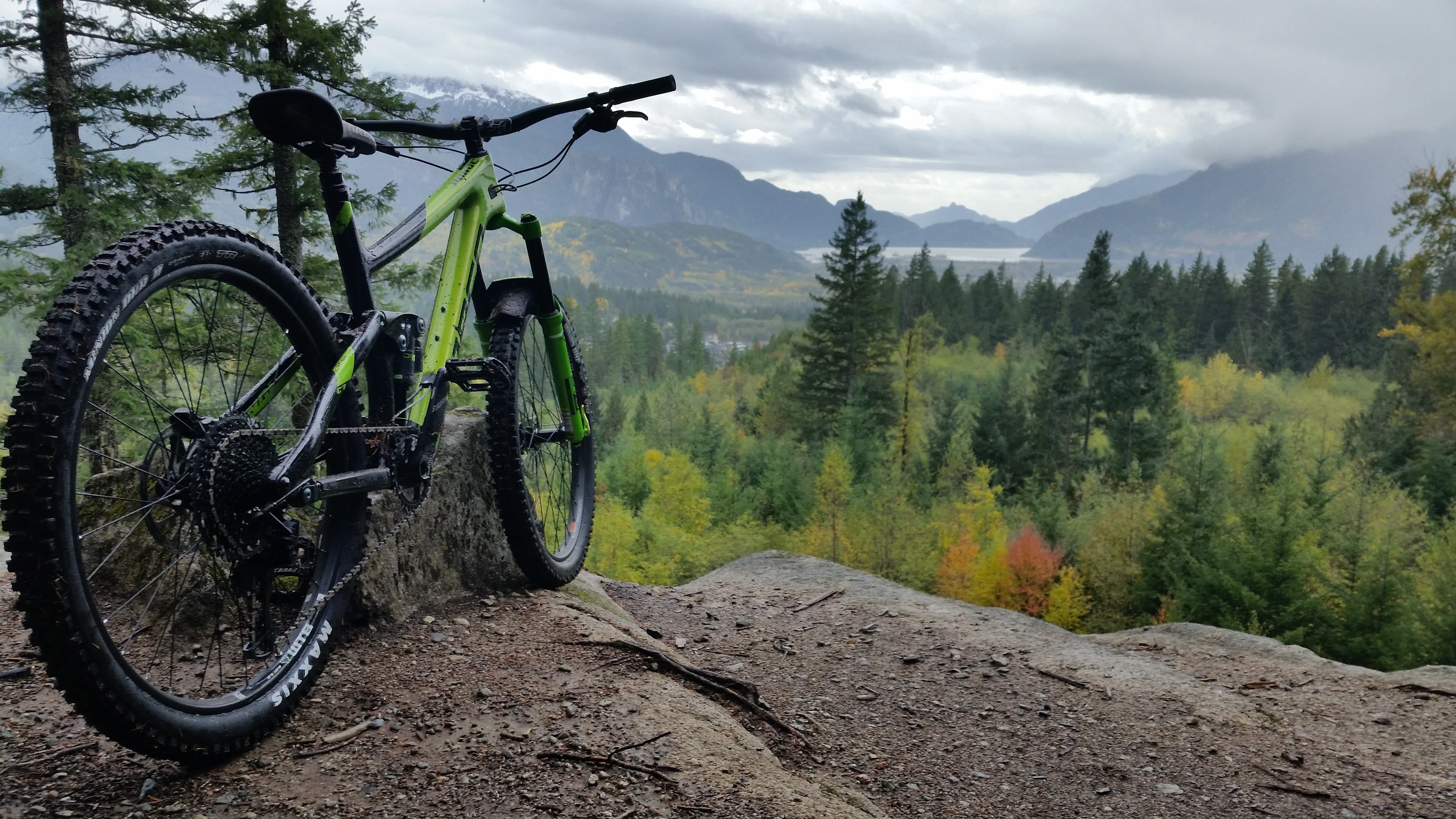
A mountain bike (MTB) or mountain bicycle is a bicycle designed for off-road cycling. Mountain bikes share some similarities with other bicycles, but incorporate features designed to enhance durability and performance in rough terrain, which makes them heavier, more complex and less efficient on smooth surfaces. These typically include a suspension fork, large knobby tires, more durable wheels, more powerful brakes, straight, extra wide handlebars to improve balance and comfort over rough terrain, and wide-ratio gearing optimised for topography and application (e.g., steep climbing or fast descending). Rear suspension is ubiquitous in heavier-duty bikes and now common even in lighter bikes. Dropper posts can be installed to allow the rider to quickly adjust the seat height (an elevated seat position is more effective for pedaling, but poses a hazard in aggressive maneuvers). Mountain bikes are generally specialized for use on mountain trails, single track, fire roads, and othe ... [...More Info...] [...Related Items...] OR: [Wikipedia] [Google] [Baidu] |
Jacó, Costa Rica
Jacó is a district of the Garabito canton, in the Puntarenas province of Costa Rica. Jacó has a black sand beach that is long and is popular among surfers. History Jacó was created on 16 September 1965. Segregated from Puntarenas. Geography Jacó has an area of km² and an elevation of metres. Jacó lies between several mountains, and is neighbored by the beaches of Herradura Bay to the North, and Playa Hermosa to the South (not to be confused with another beach by the same name, but located in Guanacaste). About 35 kilometers north of Jacó, lies the Carara National Park, recognized for its exuberant wildlife and dense rain forest. Carara is home to one of the largest remaining populations of wild scarlet macaws in the country. The Manuel Antonio National Park is located 75 kilometres south of Jacó. Jacó lies about 100 kilometers (a little less than two hours via Route 34) from the capital San José and an hour and a half from Costa Rica's primary internatio ... [...More Info...] [...Related Items...] OR: [Wikipedia] [Google] [Baidu] |
Cartago Province
Cartago (), which means Carthage in Spanish, is a province of central Costa Rica. It is one of the smallest provinces, however probably the richest of the Spanish Colonial era sites and traditions. Geography It is located in the central part of the country and borders the provinces of Limón to the east and San Jose to the west. The capital is Cartago; until 1823 it was also the capital of Costa Rica, which is now San José. The province covers an area of 3,124.61 km² and has a population of 490,903. p. 22 It is subdivided into eight cantons and is connected to San José via a four-lane highway. The highest peak is ... [...More Info...] [...Related Items...] OR: [Wikipedia] [Google] [Baidu] |
Tres Ríos, Cartago
Tres Ríos () is a district of the La Unión canton, in the Cartago province of Costa Rica. Its name is derived from its location at the confluence of the Tiribí, Chiquito and Cruz rivers. According to the 2011 census, Tres Ríos had a population of inhabitants. The district has an area of km² and an elevation of metres. History During the pre-Columbian era, the region of La Unión was part of the Eastern Huetar Kingdom and was inhabited by the Huetar people. At the time of the arrival of Spanish conquistadores, the region's chief was Correque. Significant olonial settlement of the region did not take place until the 18th century when priests from the Church of the Holy Spirit of Esparza settled in the area. The priests had been traveling with indigenous peoples from the Salamanca region, towards Cartago and stopped in what was then known as the Valley of Three Rivers (Spanish: ''Valle de los Tres Ríos''). The priests built a small chapel which they dedicated to th ... [...More Info...] [...Related Items...] OR: [Wikipedia] [Google] [Baidu] |
Tropical And Subtropical Dry Broadleaf Forests
The tropical and subtropical dry broadleaf forest is a habitat type defined by the World Wide Fund for Nature and is located at tropical and subtropical latitudes. Though these forests occur in climates that are warm year-round, and may receive several hundred centimeters of rain per year, they have long dry seasons that last several months and vary with geographic location. These seasonal droughts have great impact on all living things in the forest. Deciduous trees predominate in most of these forests, and during the drought a leafless period occurs, which varies with species type. Because trees lose moisture through their leaves, the shedding of leaves allows trees such as teak and mountain ebony to conserve water during dry periods. The newly bare trees open up the canopy layer, enabling sunlight to reach ground level and facilitate the growth of thick underbrush. Trees on moister sites and those with access to ground water tend to be evergreen. Infertile sites also tend t ... [...More Info...] [...Related Items...] OR: [Wikipedia] [Google] [Baidu] |
Climate
Climate is the long-term weather pattern in an area, typically averaged over 30 years. More rigorously, it is the mean and variability of meteorological variables over a time spanning from months to millions of years. Some of the meteorological variables that are commonly measured are temperature, humidity, atmospheric pressure, wind, and precipitation. In a broader sense, climate is the state of the components of the climate system, including the atmosphere, hydrosphere, cryosphere, lithosphere and biosphere and the interactions between them. The climate of a location is affected by its latitude/longitude, terrain, altitude, land use and nearby water bodies and their currents. Climates can be classified according to the average and typical variables, most commonly temperature and precipitation. The most widely used classification scheme was the Köppen climate classification. The Thornthwaite system, in use since 1948, incorporates evapotranspiration along with temperature ... [...More Info...] [...Related Items...] OR: [Wikipedia] [Google] [Baidu] |
San José Province
San José () is a province of Costa Rica. It is located in the central part of the country, and borders (clockwise beginning in the north) the provinces of Alajuela, Heredia, Limón, Cartago and Puntarenas. The provincial and national capital is San José. The province covers an area of 4,965.9 km². and has a population of 1,404,242. p. 22 Subdivisions The province of San José is subdivided into 20 cantons. Canton (Capital): # San José ( San José) # Esc ...[...More Info...] [...Related Items...] OR: [Wikipedia] [Google] [Baidu] |
Puntarenas Province
Puntarenas () is a province of Costa Rica. It is located in the western part of the country, covering most of Costa Rica's Pacific Ocean coast, and it is the largest province in Costa Rica. Clockwise from the northwest it borders on the provinces Guanacaste, Alajuela, San José and Limón, and the neighbouring country of Panama. Overview The capital is Puntarenas. The province covers an area of , and has a population of 410,929. p. 22 It is subdivided into 11 . For administrative purposes, the island [...More Info...] [...Related Items...] OR: [Wikipedia] [Google] [Baidu] |
Federación Costarricense De Ciclismo , Venezuela
{{geodis ...
* Federación, Entre Ríos, Argentina * Federación Department, Argentina * Federación Municipality, Falcón State ) , anthem = , image_map = Falcon in Venezuela.svg , map_alt = , map_caption = Location within Venezuela , pushpin_map = , pushpin_map_alt = , pushpin_mapsiz ... [...More Info...] [...Related Items...] OR: [Wikipedia] [Google] [Baidu] |
Union Cycliste Internationale
The ''Union Cycliste Internationale'' (UCI; ; en, International Cycling Union) is the world governing body for sports cycling and oversees international competitive cycling events. The UCI is based in Aigle, Switzerland. The UCI issues racing licenses to riders and enforces disciplinary rules, such as in matters of doping. The UCI also manages the classification of races and the points ranking system in various cycling disciplines including road and track cycling, mountain biking and BMX, for both men and women, amateur and professional. It also oversees the World Championships. After the 2022 Russian invasion of Ukraine, the UCI said that Russian and Belarusian teams are forbidden from competing in international events. It also stripped both Russia and Belarus of scheduled events. History UCI was founded in 1900 in Paris by the national cycling sports organisations of Belgium, the United States, France, Italy, and Switzerland. It replaced the International Cycling Associ ... [...More Info...] [...Related Items...] OR: [Wikipedia] [Google] [Baidu] |
Turrialba Volcano
Turrialba Volcano is an active volcano in central Costa Rica that has been explosively eruptive in recent years including 2016 and in January, March and April 2017. Visitors used to be able to hike down into the main crater, but increased volcanic activity in 2014–17, resulting in large clouds of volcanic ash, caused the surrounding Turrialba Volcano National Park to close. However, with the subsiding of the eruptions, the park and volcano reopened on December 4, 2020. The stratovolcano is high and is about 45 minutes from the Atlantic slope town of Turrialba. The summit has three craters, the largest of which has a diameter of . Turrialba is adjacent to Irazú and both are among Costa Rica's largest volcanoes. Turrialba has had at least five large explosive eruptions in last 3500 years. The volcano is monitored by the Deep Earth Carbon Degassing Project. On clear days both the Pacific Ocean and Caribbean Sea can be seen from the summit. Below the summit is ... [...More Info...] [...Related Items...] OR: [Wikipedia] [Google] [Baidu] |
Aid Station
An aid station is a temporary facility (often a tent, table, or general rest area) established to provide supplies to endurance event participants or medical first aid and provisions during major events, disaster response situations, or military operations.''Special Events Medical Services'' by Clay Richmond & Doug Poore ( American Academy of Orthopaedic Surgeons, Jones & Bartlett Publishers, 2012) Aid stations may be divided into sections where the station serves both medical and non-medical functions. Sporting events [...More Info...] [...Related Items...] OR: [Wikipedia] [Google] [Baidu] |


