|
Kuppe
A ''Kuppe'' is the term used in German-speaking central Europe for a mountain or hill with a rounded summit that has no rock formation, such as a tor, on it. A range of such hills is called a ''Kuppengebirge''. In geology the term also refers to corresponding stratigraphic forms. The term is similar to the English topographical and geological terms, knoll and dome. p. 198, by Vladimir Kotlyakov, Anna Komarova. Retrieved 5 Jul 2014. It is also analogous to the French word ''ballon'' which means a mountain with a rounded summit. In |
Rhön Mountains
The Rhön Mountains () are a group of low mountains (or '' Mittelgebirge'') in central Germany, located around the border area where the states of Hesse, Bavaria and Thuringia come together. These mountains, which are at the extreme southeast end of the East Hesse Highlands (''Osthessisches Bergland''), are partly a result of ancient volcanic activity. They are separated from the Vogelsberg Mountains by the river Fulda and its valley. The highest mountain in the Rhön is the Wasserkuppe (), which is in Hesse. The Rhön Mountains are a popular tourist destination and walking area. Origins The name ''Rhön'' is often thought to derive from the Celtic word ''raino'' (=hilly), but numerous other interpretations are also possible. Records of the monks at Fulda Abbey from the Middle Ages describe the area around Fulda as well as more distant parts of the Rhön as ''Buchonia'', the land of ancient beech woods. In the Middle Ages beech was an important raw material. Large scale wood ... [...More Info...] [...Related Items...] OR: [Wikipedia] [Google] [Baidu] |
Central Uplands
The Central UplandsDickinson (1964), p.18 ff. (german: die MittelgebirgeN.B. In German die ''Mittelgebirge'' (plural) refers to the Central Uplands; das ''Mittelgebirge'' refers to a low mountain range or upland region (''Mittel'' = "medium" and ''-gebirge'' = "range").) is one of the three major natural regions of Germany. It stretches east to west across the country. To the north lies the North German Plain or Northern Lowland; to the south, the Alps and the Alpine Foreland. Formation The German Central Uplands, like the Scandinavian and British mountain ranges and the Urals, belong to the oldest mountains of Europe, even if their present-day appearance has only developed relatively recently. In the Carboniferous, i.e. about 350 million years ago, Variscan mountain ranges were formed in central Europe by the uplifting caused by tectonic plate collision. Immediately after their formation the erosion of the mountains began under the influence of exogenous processes durin ... [...More Info...] [...Related Items...] OR: [Wikipedia] [Google] [Baidu] |
Hill
A hill is a landform that extends above the surrounding terrain. It often has a distinct summit. Terminology The distinction between a hill and a mountain is unclear and largely subjective, but a hill is universally considered to be not as tall, or as steep as a mountain. Geographers historically regarded mountains as hills greater than above sea level, which formed the basis of the plot of the 1995 film ''The Englishman who Went up a Hill but Came down a Mountain''. In contrast, hillwalkers have tended to regard mountains as peaks above sea level. The ''Oxford English Dictionary'' also suggests a limit of and Whittow states "Some authorities regard eminences above as mountains, those below being referred to as hills." Today, a mountain is usually defined in the UK and Ireland as any summit at least high, while the official UK government's definition of a mountain is a summit of or higher. Some definitions include a topographical prominence requirement, typically or ... [...More Info...] [...Related Items...] OR: [Wikipedia] [Google] [Baidu] |
Wasserkuppe
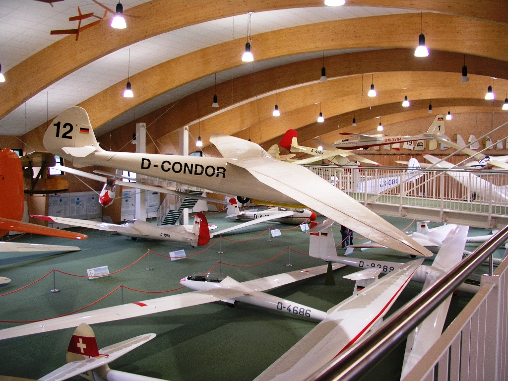
The is a mountain within the Germany, German state of Hesse. It is a large plateau formation at an elevation of and is the highest peak in the Rhön Mountains. Great advances in sailplane development took place on the mountain during the Aviation between the World Wars, interwar period, driven by annual contests. Near the summit there is still an airfield used by gliding clubs and pilots of light aircraft. Etymology The German language, German name is derived from ''Wasenkuppe, Asenberg'' or ''Weideberg'' and means ''Pasture mountain''. Geography The Wasserkuppe lies in the administrative district Fulda (district), Fulda north of Gersfeld. Other villages nearby are Poppenhausen, Hesse, Poppenhausen ( west - south west) and Wüstensachsen ( east, part of Ehrenberg, Hesse). It is part of the Rhön Biosphere Reserve. The Wasserkuppe sources the spring of the river Fulda (river), Fulda (the western source of the Weser) and the river Lütter which joins the Fulda after . The ... [...More Info...] [...Related Items...] OR: [Wikipedia] [Google] [Baidu] |
Geomorphological
Geomorphology (from Ancient Greek: , ', "earth"; , ', "form"; and , ', "study") is the scientific study of the origin and evolution of topographic and bathymetric features created by physical, chemical or biological processes operating at or near Earth's surface. Geomorphologists seek to understand why landscapes look the way they do, to understand landform and terrain history and dynamics and to predict changes through a combination of field observations, physical experiments and numerical modeling. Geomorphologists work within disciplines such as physical geography, geology, geodesy, engineering geology, archaeology, climatology, and geotechnical engineering. This broad base of interests contributes to many research styles and interests within the field. Overview Earth's surface is modified by a combination of surface processes that shape landscapes, and geologic processes that cause tectonic uplift and subsidence, and shape the coastal geography. Surface processes com ... [...More Info...] [...Related Items...] OR: [Wikipedia] [Google] [Baidu] |
Pohorje
Pohorje (), also known as the Pohorje Massif or the Pohorje Mountains (german: Bachergebirge, ''Bacherngebirge'' or often simply ''Bachern''), is a mostly wooded, medium-high mountain range south of the Drava River in northeastern Slovenia. According to the traditional AVE classification it belongs to the Southern Limestone Alps. Geologically, it forms part of the Central Alps and features silicate metamorphic and igneous rock. Pohorje is sparsely populated with dispersed villages. There are also some ski resorts. Geography Pohorje is an Alpine mountain ridge with domed summits south of the Drava. It roughly lies in the triangle formed by the towns of Maribor (to the east), Dravograd (to the west) and Slovenske Konjice (to the south). To the northwest, it is bounded by the Mislinja River, to the south by the Vitanje Lowlands (), to the east it descends to the Drava Plain () and to the southeast it descends to the Pohorje Foothills (). It measures about from east to west ... [...More Info...] [...Related Items...] OR: [Wikipedia] [Google] [Baidu] |
Fichtel Mountains
The Fichtel MountainsRandlesome, C. et al. (2011). ''Business Cultures in Europe'', 2nd ed., Routledge, Abingdon and New York, p. 52. . (german: Fichtelgebirge, cs, Smrčiny), form a small horseshoe-shaped mountain range in northeastern Bavaria, Germany. They extend from the valley of the Red Main River to the Czech border, a few foothills spilling over into the Czech Republic. They continue in a northeasterly direction as the Elster Mountains, and in a southeasterly direction as the Upper Palatine Forest. The Fichtel Mountains contain an important nature park, the Fichtel Mountain Nature Park, with an area of . Etymology The first person to write about the Fichtel Mountains, Matthias of Kemnath (actually Matthias Widmann, born 23 February 1429 in Kemnath) reported in 1476: ''Ein bergk, hoch, weitt, wolbekant ligt in Beiern, gnant der Fichtelberg'' ("A mountain, high, wide and well-known, lies in Bavaria, known as the Fichtelberg"). In descriptions of the border in 1499 an ... [...More Info...] [...Related Items...] OR: [Wikipedia] [Google] [Baidu] |
Prealps
The Alpine foothills, or Prealps (german: Voralpen; french: Préalpes; it, Prealpi; ), may refer generally to any foothills at the base of the Alps in Europe. They are the transition zone between the High Alps and the Swiss Plateau and the Bavarian Alpine Foreland in the north, as well as to the Pannonian Basin (Alpokalja) in the east, the Padan Plain in the south and the Rhone Valley in the west. Classification The Alpine foothills comprise: *The French Prealps ** Savoy Prealps ** Dauphiné Prealps ** Provence Prealps *The Swiss Prealps *The Northern Prealps, part of the Northern Limestone Alps: **Bavarian Prealps in southeastern Germany **Salzburg Prealps, part of the Salzkammergut Mountains in Austria **Upper Austrian Prealps ** Lower Austrian Prealps, leading to the Vienna Woods *The Southeastern Prealps, borderline of the Alps to the Pannonian Basin in Austria and Slovenia: ** Prealps East of the Mur **Lavanttal Alps ** Styrian Prealps **Slovenian Prealps, Pohorje *The ... [...More Info...] [...Related Items...] OR: [Wikipedia] [Google] [Baidu] |
Erosion (geology)
Erosion is the action of surface processes (such as water flow or wind) that removes soil, rock, or dissolved material from one location on the Earth's crust, and then transports it to another location where it is deposited. Erosion is distinct from weathering which involves no movement. Removal of rock or soil as clastic sediment is referred to as ''physical'' or ''mechanical'' erosion; this contrasts with ''chemical'' erosion, where soil or rock material is removed from an area by dissolution. Eroded sediment or solutes may be transported just a few millimetres, or for thousands of kilometres. Agents of erosion include rainfall; bedrock wear in rivers; coastal erosion by the sea and waves; glacial plucking, abrasion, and scour; areal flooding; wind abrasion; groundwater processes; and mass movement processes in steep landscapes like landslides and debris flows. The rates at which such processes act control how fast a surface is eroded. Typically, physical erosion pr ... [...More Info...] [...Related Items...] OR: [Wikipedia] [Google] [Baidu] |
Rock (geology)
In geology, rock (or stone) is any naturally occurring solid mass or aggregate of minerals or mineraloid matter. It is categorized by the minerals included, its Chemical compound, chemical composition, and the way in which it is formed. Rocks form the Earth's outer solid layer, the Earth's crust, crust, and most of its interior, except for the liquid Earth's outer core, outer core and pockets of magma in the asthenosphere. The study of rocks involves multiple subdisciplines of geology, including petrology and mineralogy. It may be limited to rocks found on Earth, or it may include planetary geology that studies the rocks of other celestial objects. Rocks are usually grouped into three main groups: igneous rocks, sedimentary rocks and metamorphic rocks. Igneous rocks are formed when magma cools in the Earth's crust, or lava cools on the ground surface or the seabed. Sedimentary rocks are formed by diagenesis and lithification of sediments, which in turn are formed by the weathe ... [...More Info...] [...Related Items...] OR: [Wikipedia] [Google] [Baidu] |


