|
Kingswood, Bristol
Kingswood is a suburban town and unparished area in the South Gloucestershire district, in the ceremonial county of Gloucestershire, England, bordering the eastern edge of the City of Bristol. The suburb is situated east-northeast of Bristol city centre and west of London. Broadly speaking, Kingswood spans the area from John Cabot Academy in the west to the A4174 ring road in the east. Some areas which are in close proximity to Kingswood, such as Two Mile Hill and St George East (both located within the City of Bristol) and parts of Hanham and Warmley Hill are often considered to be part of Kingswood by locals. The border between South Gloucestershire and the City of Bristol is situated at the western end of Kingswood's High Street. Although anything beyond this point is technically no longer Kingswood 'proper', locals often consider the shops and residential areas that fringe the road named 'Two Mile Hill' (located within the area of the same name) to be a continuation ... [...More Info...] [...Related Items...] OR: [Wikipedia] [Google] [Baidu] |
United Kingdom Census 2011
A Census in the United Kingdom, census of the population of the United Kingdom is taken every ten years. The 2011 census was held in all countries of the UK on 27 March 2011. It was the first UK census which could be completed online via the Internet. The Office for National Statistics (ONS) is responsible for the census in England and Wales, the General Register Office for Scotland (GROS) is responsible for the census in Scotland, and the Northern Ireland Statistics and Research Agency (NISRA) is responsible for the census in Northern Ireland. The Office for National Statistics is the executive office of the UK Statistics Authority, a non-ministerial department formed in 2008 and which reports directly to Parliament. ONS is the UK Government's single largest statistical producer of independent statistics on the UK's economy and society, used to assist the planning and allocation of resources, policy-making and decision-making. ONS designs, manages and runs the census in England an ... [...More Info...] [...Related Items...] OR: [Wikipedia] [Google] [Baidu] |
Areas Of Bristol
The city of Bristol, England, is divided into many areas, which often overlap or have non-fixed borders. These include Parliamentary constituencies, council wards and unofficial neighbourhoods. There are no civil parishes in Bristol. Parliamentary constituencies Bristol is divided into four constituencies for the purpose of Parliamentary representation. These are: *Bristol West *Bristol East *Bristol South *Bristol North West Council wards The city is split into 34 wards for local government. Like the parliamentary constituencies, their borders are rigidly defined. ''Bristol City Council''. Retrieved 9 November 2016. * * |
Towns In Gloucestershire
A town is a human settlement. Towns are generally larger than villages and smaller than cities, though the criteria to distinguish between them vary considerably in different parts of the world. Origin and use The word "town" shares an origin with the German word , the Dutch word , and the Old Norse . The original Proto-Germanic word, *''tūnan'', is thought to be an early borrowing from Proto-Celtic *''dūnom'' (cf. Old Irish , Welsh ). The original sense of the word in both Germanic and Celtic was that of a fortress or an enclosure. Cognates of ''town'' in many modern Germanic languages designate a fence or a hedge. In English and Dutch, the meaning of the word took on the sense of the space which these fences enclosed, and through which a track must run. In England, a town was a small community that could not afford or was not allowed to build walls or other larger fortifications, and built a palisade or stockade instead. In the Netherlands, this space was a garden, more ... [...More Info...] [...Related Items...] OR: [Wikipedia] [Google] [Baidu] |
Kingswood, South Gloucestershire
Kingswood is a suburban town and unparished area in the South Gloucestershire district, in the ceremonial county of Gloucestershire, England, bordering the eastern edge of the City of Bristol. The suburb is situated east-northeast of Bristol city centre and west of London. Broadly speaking, Kingswood spans the area from John Cabot Academy in the west to the A4174 ring road in the east. Some areas which are in close proximity to Kingswood, such as Two Mile Hill and St George East (both located within the City of Bristol) and parts of Hanham and Warmley Hill are often considered to be part of Kingswood by locals. The border between South Gloucestershire and the City of Bristol is situated at the western end of Kingswood's High Street. Although anything beyond this point is technically no longer Kingswood 'proper', locals often consider the shops and residential areas that fringe the road named 'Two Mile Hill' (located within the area of the same name) to be a continuation ... [...More Info...] [...Related Items...] OR: [Wikipedia] [Google] [Baidu] |
Slum Clearance In The United Kingdom
Slum clearance in the United Kingdom has been used as an urban renewal strategy to transform low income settlements with poor reputation into another type of development or housing. Early mass clearances took place in the country's northern cities. Starting from 1930, councils were expected to prepare plans to clear slum dwellings, although progress stalled upon the onset of World War II. Clearance of slum areas resumed and increased after the war, while the 1960s saw the largest number of house renewal schemes pursued by local authorities, particularly in Manchester where it was reported around 27% 'may' have been unfit for human habitation - Although the majority were well built solid structures which could have been renovated or repurposed; housing, churches, schools and pubs which formed close-knit communities were devastated, with families dispersed across other areas. Towards the end of the decade, a housing act in 1969 provided financial encouragement for authorities and la ... [...More Info...] [...Related Items...] OR: [Wikipedia] [Google] [Baidu] |
Coal Mining
Coal mining is the process of extracting coal from the ground. Coal is valued for its energy content and since the 1880s has been widely used to generate electricity. Steel and cement industries use coal as a fuel for extraction of iron from iron ore and for cement production. In the United Kingdom and South Africa, a coal mine and its structures are a colliery, a coal mine is called a 'pit', and the above-ground structures are a 'pit head'. In Australia, "colliery" generally refers to an underground coal mine. Coal mining has had many developments in recent years, from the early days of men tunneling, digging and manually extracting the coal on carts to large open-cut and longwall mines. Mining at this scale requires the use of draglines, trucks, conveyors, hydraulic jacks and shearers. The coal mining industry has a long history of significant negative environmental impacts on local ecosystems, health impacts on local communities and workers, and contributes heavily to th ... [...More Info...] [...Related Items...] OR: [Wikipedia] [Google] [Baidu] |
Clock Tower, Kingswood - Geograph
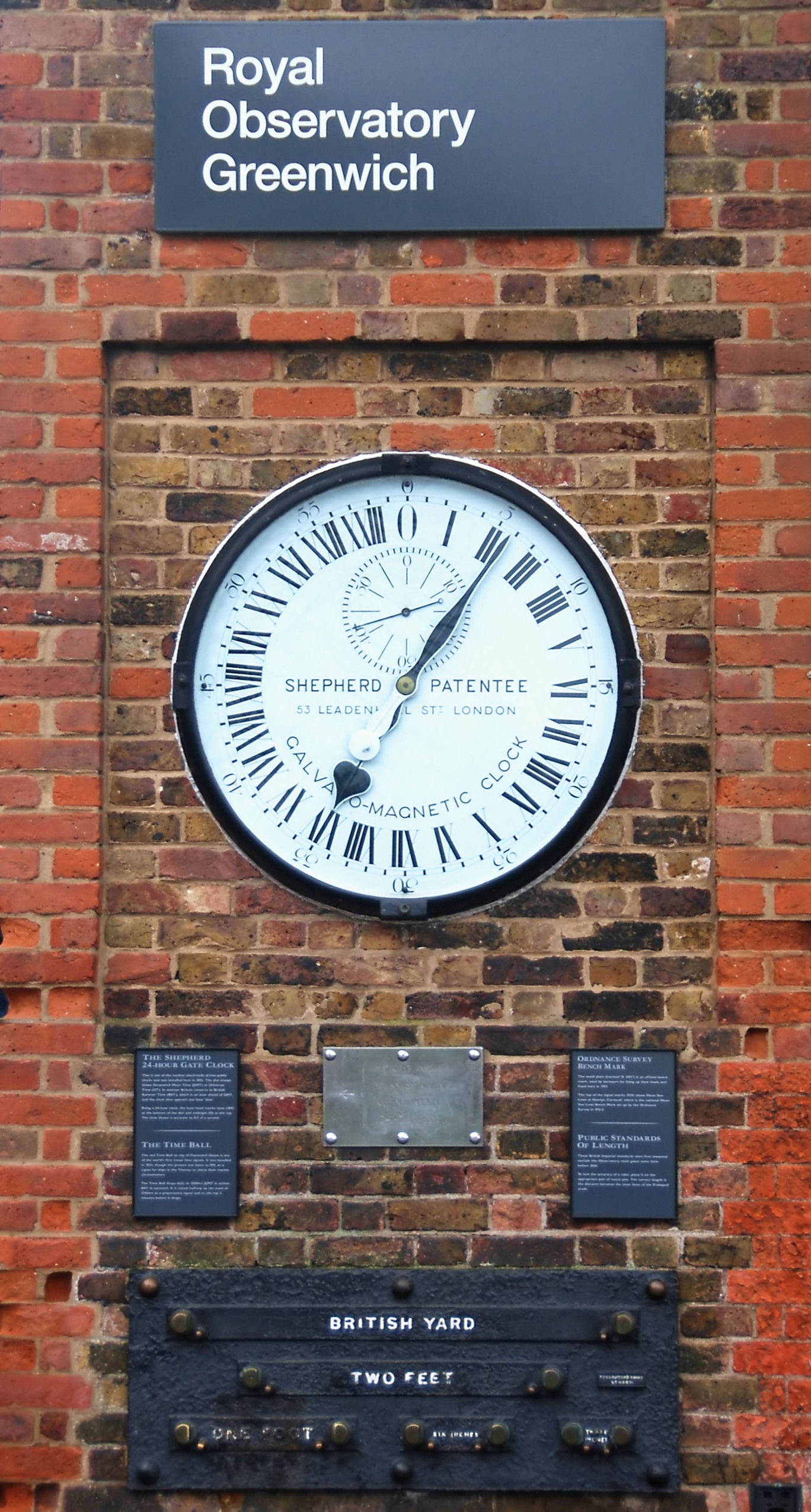
A clock or a timepiece is a device used to Measurement, measure and indicate time. The clock is one of the oldest Invention, human inventions, meeting the need to measure intervals of time shorter than the natural units such as the day, the lunar month and the year. Devices operating on several physical processes have been used over the Millennium, millennia. Some predecessors to the modern clock may be considered as "clocks" that are based on movement in nature: A sundial shows the time by displaying the position of a shadow on a flat surface. There is a range of duration timers, a well-known example being the hourglass. Water clocks, along with the sundials, are possibly the oldest time-measuring instruments. A major advance occurred with the invention of the verge escapement, which made possible the first mechanical clocks around 1300 in Europe, which kept time with oscillating timekeepers like balance wheels., pp. 103–104., p. 31. Traditionally, in horology, the te ... [...More Info...] [...Related Items...] OR: [Wikipedia] [Google] [Baidu] |
Bradley Stoke
Bradley Stoke is a town in South Gloucestershire, England, situated northeast of Bristol,OS Explorer Map, Bristol and Bath, Keynsham & Marshfield. Scale: 1:25 000.Publisher: Ordnance Survey B4 edition (2013). It is near the Severn Estuary of the Bristol Channel, which is an extension of the North Atlantic Ocean, separating South Wales from South West England. Bradley Stoke is bordered by three motorways; the M5 to the north, the M4 to the east and the M32 to the south. Planned in the 1970s, building works began in 1987. Bradley Stoke was Europe's largest new town built with private investment and was named after the local Bradley Brook and Stoke Brook streams. Bradley Stoke along with nearby Filton and suburbs form part of the North Bristol urban area. The town has become an overflow settlement for Bristol city. History The area that is now Bradley Stoke, was once farmland north of the village of Stoke Gifford near Bristol city. The land was divided amongst the civil par ... [...More Info...] [...Related Items...] OR: [Wikipedia] [Google] [Baidu] |
North Fringe Of Bristol
The North Fringe of Bristol, England is a mostly developed area between the northern edge of the administrative city of Bristol and the M4 and M5 motorways. Its eastern edge is usually defined as the M32 motorway. The area falls within South Gloucestershire Council, and is the northern part of Greater Bristol. Development of the area Before the motorways were built in the 1960s and 1970s, the area contained the suburban village and towns of Filton, Patchway and Stoke Gifford, together with Stoke Park Hospital. Bristol Parkway railway station was opened at Stoke Gifford in 1972. The University of the West of England (UWE) has its main campus in the area, at Frenchay. As a result of major pressures for development for housing, industry, offices and out-of-town shopping, the then local authority, Northavon District Council, prepared the North Fringe Local Plan for the area in 1987. This confirmed previous decisions in the Avon County Council structure plan, to remove land fr ... [...More Info...] [...Related Items...] OR: [Wikipedia] [Google] [Baidu] |
Keynsham
Keynsham ( ) is a town and civil parish located between Bristol and Bath in Somerset, England. It has a population of 16,000. It was listed in the Domesday Book as ''Cainesham'' (as it is pronounced), which is believed to mean the home of Saint Keyne. The site of the town has been occupied since prehistoric times, and may have been the site of the Roman settlement of Trajectus. The remains of at least two Roman villas have been excavated, and an additional 15 Roman buildings have been detected beneath the Keynsham Hams. Keynsham developed into a medieval market town after Keynsham Abbey was founded around 1170. It is situated at the confluence of the River Chew and River Avon and was subject to serious flooding before the creation of Chew Valley Lake and river level controls at Keynsham Lock in 1727. The Chew Stoke flood of 1968 inundated large parts of the town. It was home to the Cadbury's chocolate factory, Somerdale, which opened in 1935 as a major employer in the tow ... [...More Info...] [...Related Items...] OR: [Wikipedia] [Google] [Baidu] |
Southmead Hospital
Southmead Hospital is a large public National Health Service hospital, situated in the area of Southmead, though in Horfield ward, in the northern suburbs of Bristol, England. It is part of the North Bristol NHS Trust. The 800-bed Brunel Building opened in May 2014, to provide services (including Accident and Emergency), which transferred from Frenchay Hospital in advance of its closure. The hospital site covers . History Early history The hospital originated in 1902, when the Barton Regis Poor Law Union opened a new workhouse. The Barton Regis Union had been obliged to open a new workhouse when it lost its urban areas, and with them its workhouse at Eastville, to Bristol in 1897. An innovation in the new workhouse at Southmead was that in a separate building it included an infirmary, with 28 beds for the sick and provision for three nurses. By 1911, there were 520 beds. During the First World War, the Memorial Wing at Bristol Royal Infirmary together with Southmead Ho ... [...More Info...] [...Related Items...] OR: [Wikipedia] [Google] [Baidu] |
.jpg)


