|
Kilnavert
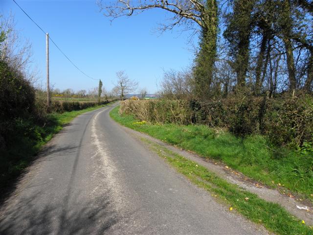
Kilnavert () is a townland in the civil parish of Templeport, County Cavan, Ireland. It lies in the Roman Catholic parish of Templeport and barony of Tullyhaw. The present local pronunciation is ''Killnavart'' but up to the 1870s the local pronunciation was ''Kilfertin''. Geography Kilnavert is bounded on the north by Lissanover and Killycluggin townlands, on the west by Gortnaleck and Camagh townlands, on the south by Derrycassan townland and on the east by Corran, County Cavan townland. Its chief geographical features are Camagh Lough, a gravel pit, a wood, streams, a spring well and dug wells. Kilnavert is traversed by the national secondary R205 road (Ireland), minor roads, rural lanes and the disused Cavan and Leitrim Railway. The townland covers 188 statute acres. Etymology The reason for the Irish name Cill na bhFeart meaning ''The Church of the Tumuli'', is that there is a Roman Catholic church and eight prehistoric monuments in the townland, including 3 barrows (Tumulu ... [...More Info...] [...Related Items...] OR: [Wikipedia] [Google] [Baidu] |
Camagh
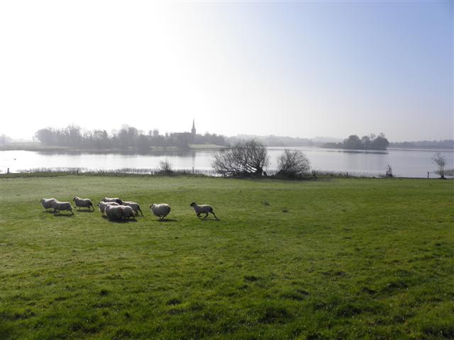
Camagh () is a townland in the civil parishes in Ireland, civil parish of Templeport, County Cavan, Republic of Ireland, Ireland. It lies in the Roman Catholic parish of Templeport and barony of Tullyhaw. The local pronunciation is ''Commagh''. Geography Camagh is bounded on the north by Rosehill, Templeport and Gortnaleck townlands, on the west by Derryragh and Porturlan townlands, on the south by Gorteen, Templeport and Derrycassan townlands and on the east by Kilnavert townland. Its chief geographical features are Camagh Lough and forestry plantations. Camagh is traversed by the regional R205 road (Ireland), R205 road and several rural lanes. The townland covers 163 statute acres. Etymology In medieval times Coologe Lough stretched all the way north up to and including Camagh Lake, before being reduced by later drainage works. On the 1656 Down Survey map of Tullyhaw, the lake is depicted as a crooked shape, which may be the origin of the townland name. History In mediev ... [...More Info...] [...Related Items...] OR: [Wikipedia] [Google] [Baidu] |
Corran, County Cavan
Corran () is a townland in the civil parish of Templeport, County Cavan, Ireland. It lies in the Roman Catholic parish of Templeport and the barony of Tullyhaw. Geography Corran is bound on the north by Killycluggin townland, on the west by Kilnavert and Derrycassan townlands, on the south by Toberlyan and Toberlyan Duffin townlands, and the east by Bellaheady townland in Kildallan Parish. Corran can be entered using the regional R205 road, several minor roads, rural and disused lanes, and the Cavan and Leitrim Railway. The townland covers 146 statute acres. History In medieval times the McGovern tuath of Tullyhaw was divided into economic taxation areas called ballibetoes, from the Irish ''Baile Biataigh'' (Anglicized as 'Ballybetagh'), meaning 'A Provisioner's Town or Settlement'. The original purpose was to enable the farmer, who controlled the baile, to provide hospitality for those who needed it, such as poor people and travellers. The ballybetagh was further divided ... [...More Info...] [...Related Items...] OR: [Wikipedia] [Google] [Baidu] |
Templeport
Templeport () is a civil parish in the barony of Tullyhaw, County Cavan, Ireland. The chief towns in the parish are Bawnboy and Ballymagauran. The large Roman Catholic parish of Templeport containing 42,172 statute acres was split up in the 18th & 19th centuries into three new parishes, Templeport, Corlough and Glangevlin. Etymology The name of Templeport parish derives from the old townland of Templeport (which is now shortened to Port) which is the anglicisation of the Gaelic 'Teampall An Phoirt' ("The Church of the Port or Bank or Landing-Place"). The church referred to is the old church on St. Mogue's Island in the middle of Port Lake. This church fell into disuse in medieval times and a new church was built on the opposite shore of the lake. It was forfeited to Queen Elizabeth in 1590 and started use as a Protestant church in about 1610. It is very unlikely that the island church ever served as the parish church because there was only one boat available and it would have ... [...More Info...] [...Related Items...] OR: [Wikipedia] [Google] [Baidu] |
Magh Slécht
Magh Slécht (sometimes Anglicised as Moyslaught) is the name of a historic plain in Ireland. It comprises an area of about three square miles (8 km2) situated in the south-eastern part of the Parish of Templeport, Barony (Ireland), Barony of Tullyhaw, in the west of County Cavan. It is bounded on the south by Templeport, Templeport Lough, on the north by Slieve Rushen mountain, on the east by the Shannon–Erne Waterway, and on the west by the River Blackwater, County Cavan, River Blackwater. Magh Slécht formed part of the Province of Connacht until the 16th century when it was made part of the Province of Ulster. It was originally named Magh Senaig (plain of the hill-slope) and under this guise is mentioned in ''The Metrical Dindshenchas'' in the story of the Dagda, Corrgenn and Ailech, wherein it states the Corrgenn travelled from Tara to Lough Foyle in the Inishowen peninsula ''via'' Mag Senaig. In Pre-Christian times the small area where the Crom Cruach idol stood at ... [...More Info...] [...Related Items...] OR: [Wikipedia] [Google] [Baidu] |
Crom Cruach
Crom Cruach ( sga, Cromm Crúaich ) was a pagan god of pre-Christian Ireland. According to Christian writers, he was propitiated with human sacrifice and his worship was ended by Saint Patrick. He is also referred to as ''Crom Cróich'', ''Cenn Cruach''/''Cróich'' () and ''Cenncroithi'' (). He is related to the later mythological and folkloric figure Crom Dubh. The references in a ''dinsenchas'' ("place-lore") poem in the 12th century to sacrifice in exchange for milk and grain suggest that Crom had a function as fertility god. The description of his image as a gold figure surrounded by twelve stone or bronze figures has been interpreted by some as representing the sun surrounded by the signs of the zodiac, suggesting a function as solar deity. Name Crom Cruach's name takes several forms. ''Crom'' (or ''cromm'') means "bent, crooked, stooped" or according to O'Reilly is perhaps related to ''cruim'' meaning "thunder". ''Cenn'' means "head", and by extension "head, chief". ... [...More Info...] [...Related Items...] OR: [Wikipedia] [Google] [Baidu] |
Lissanover
Lissanover () is a townland in the civil parishes in Ireland, civil parish of Templeport, County Cavan, Republic of Ireland, Ireland. It lies in the Roman Catholic parish of Templeport and barony of Tullyhaw. Geography Lissanover is bounded on the north by Keenagh, Templeport and Munlough South townlands, on the west by Cor, Templeport, Cloneary and Gortnaleck townlands, on the south by Kilnavert townland and on the east by Killycluggin, Tonyhallagh and Cavanaquill townlands. Its chief geographical features are streams, quarries, gravel pits and a spring well. Lissanover is traversed by a public road, several rural lanes and the disused Cavan and Leitrim Railway. The townland covers 299 statute acres. Etymology The supposed derivation of the townland name ''The Fort of the Pride'' is given in a book published in 1875 ''The Origin and History of Irish Names of Places'' by Patrick Weston Joyce as follows- ''Lissanover is the name of a place near the village of Bawnboy, in Cava ... [...More Info...] [...Related Items...] OR: [Wikipedia] [Google] [Baidu] |
Killycluggin
Killycluggin () is a townland in the civil parish of Templeport, County Cavan, Ireland. It lies in the Roman Catholic parish area of Templeport and the barony of Tullyhaw. Geography Killycluggin is bounded on the north by Tonyhallagh townland, on the west by Lissanover townland, on the east by Tonyrevan townland and on the south by Bellaheady townland in Kildallan parish and by Kilnavert and Corran, County Cavan townlands. Killycluggin's chief geographical features are a stream, a stone quarry and a gravel pit. Killycluggin is traversed by the R205 road (Ireland), minor roads, rural lanes and the disused Cavan and Leitrim Railway. The townland covers 76 statute acres. History In medieval times the McGovern tuath of Tullyhaw was divided into economic taxation areas called ballibetoes, from the Irish ''Baile Biataigh'' (Anglicized as 'Ballybetagh'), meaning 'A Provisioner's Town or Settlement'. The original purpose was to enable the farmer, who controlled the baile, to provide ... [...More Info...] [...Related Items...] OR: [Wikipedia] [Google] [Baidu] |
Gortnaleck
Gortnaleck () is a townland in the civil parish of Templeport, County Cavan, Ireland. It lies in the Roman Catholic parish of Templeport and barony of Tullyhaw. Geography Gortnaleck is bounded on the north by Cloneary townland, on the west by Rosehill, Templeport townland, on the south by Camagh townland and on the east by Kilnavert townland. Its chief geographical features are Gortnaleck Lough, dug wells and a stone quarry. The 1836 Ordnance Survey Namebooks state-''The soil is intermixed with limestone'' (which limestone is probably what gave the townland its name). Gortnaleck is traversed by the national secondary R205 road (Ireland), minor public roads and rural lanes. The townland covers 95 statute acres. History In medieval times the McGovern barony of Tullyhaw was divided into economic taxation areas called ballibetoes, from the Irish ''Baile Biataigh'' (Anglicized as 'Ballybetagh'), meaning 'A Provisioner's Town or Settlement'. The original purpose was to enable the fa ... [...More Info...] [...Related Items...] OR: [Wikipedia] [Google] [Baidu] |
Derrycassan
Derrycassan () is a townland in the civil parish of Templeport, County Cavan, Ireland. It lies in the Roman Catholic parish of Templeport and barony of Tullyhaw. The local pronunciation is ''Dorrahasson''. Geography Derrycassan is bounded on the north by Kilnavert and Corran townlands, on the west by Camagh, Sruhagh and Gorteen, Templeport townlands, on the south by Derryniggin in County Leitrim and Burren townland and on the east by Coologe and Toberlyan townlands. Its chief geographical features are Coologe Lake, Derrycassan Lake and Camagh Lough. Derrycassan is traversed by a public road and several rural lanes. The townland covers 498 statute acres. History Medieval In medieval times the McGovern barony of Tullyhaw was divided into economic taxation areas called ballibetoes, from the Irish ''Baile Biataigh'' (Anglicized as 'Ballybetagh'), meaning 'A Provisioner's Town or Settlement'. The original purpose was to enable the farmer, who controlled the baile, to provide ho ... [...More Info...] [...Related Items...] OR: [Wikipedia] [Google] [Baidu] |
Bishop Of Kilmore
The Bishop of Kilmore is an episcopal title which takes its name after the parish of Kilmore, County Cavan in Ireland. In the Roman Catholic Church it remains a separate title, but in the Church of Ireland it has been united with other bishoprics. History The see of Kilmore was originally known as Breifne (Latin: ''Tirbrunensis'', ''Tybruinensis'' or ''Triburnia''; Irish: ''Tír mBriúin'', meaning "the land of the descendants of Brian", one of the kings of Connaught) and took its name after the Kingdom of Breifne., ''Handbook of British Chronology'', p. 362. The see became one of the dioceses approved by Giovanni Cardinal Paparoni at the synod of Kells in 1152, and has approximately the same boundaries as those of the ancient Kingdom of Breifne. In the Irish annals, the bishops were recorded of ''Breifne'', ''Breifni'', ''Breifny'', ''Tir-Briuin'', or ''Ui-Briuin-Breifne''. In the second half of the 12th century, it is likely the sees of Breifne and Kells were ruled tog ... [...More Info...] [...Related Items...] OR: [Wikipedia] [Google] [Baidu] |
Pope Gregory XIII
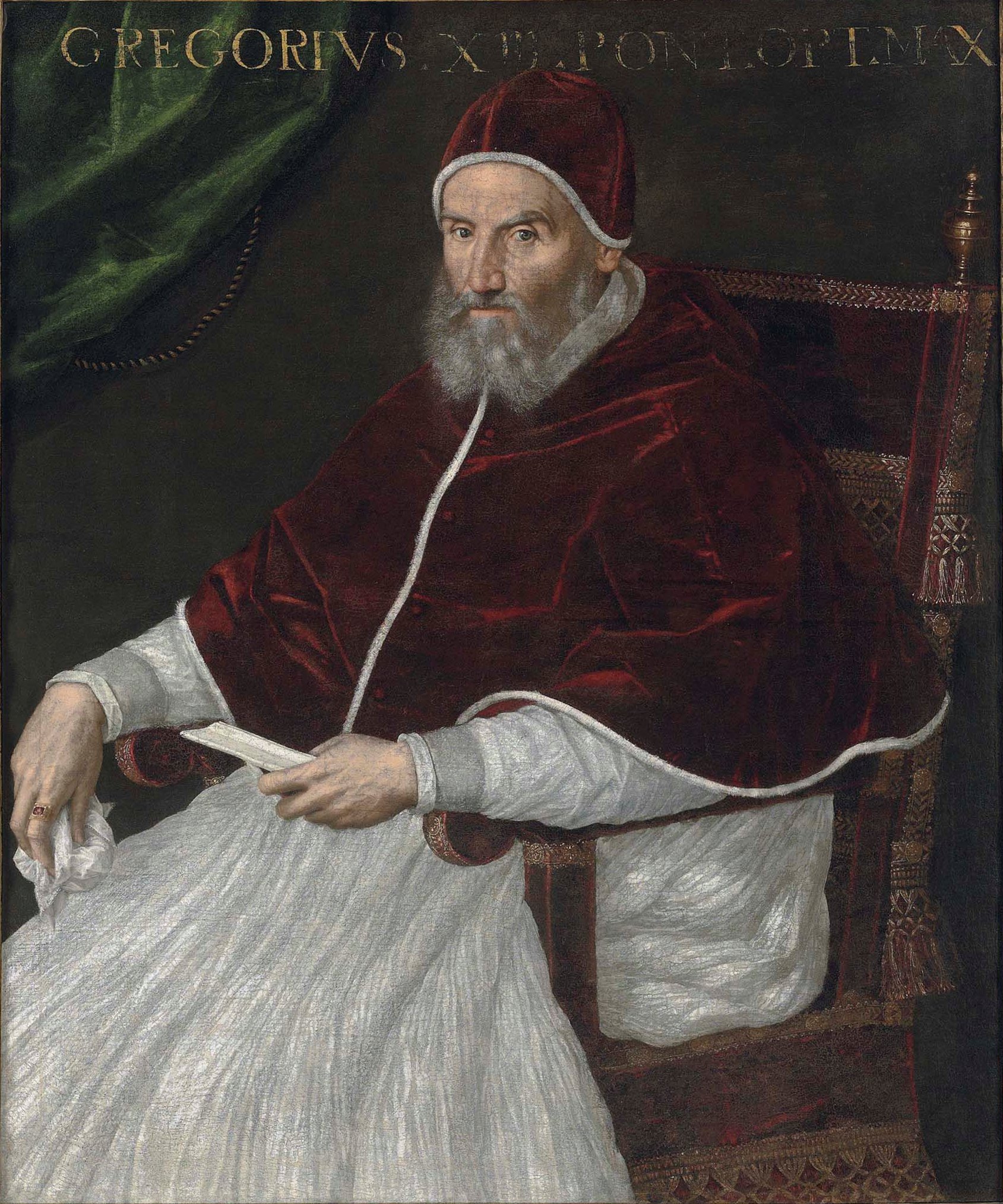
Pope Gregory XIII ( la, Gregorius XIII; it, Gregorio XIII; 7 January 1502 – 10 April 1585), born Ugo Boncompagni, was head of the Catholic Church and ruler of the Papal States from 13 May 1572 to his death in April 1585. He is best known for commissioning and being the namesake for the Gregorian calendar, which remains the internationally accepted civil calendar to this day. Early biography Youth Ugo Boncompagni was born the son of Cristoforo Boncompagni (10 July 1470 – 1546) and of his wife Angela Marescalchi in Bologna, where he studied law and graduated in 1530. He later taught jurisprudence for some years, and his students included notable figures such as Cardinals Alexander Farnese, Reginald Pole and Charles Borromeo. He had an illegitimate son after an affair with Maddalena Fulchini, Giacomo Boncompagni, but before he took holy orders, making him the last Pope to have left issue. Career before papacy At the age of 36 he was summoned to Rome by Pope Paul III (1534� ... [...More Info...] [...Related Items...] OR: [Wikipedia] [Google] [Baidu] |
Richard Brady
Richard Brady, O.F.M. (died 1607) was an Irish prelate of the Roman Catholic Church who served as Bishop of Ardagh from 1576 to 1580 and then Bishop of Kilmore from 1580 to 1607. A Franciscan friar, he was appointed the Bishop of Ardagh by Pope Gregory XIII on 23 January 1576., ''Handbook of British Chronology'', p. 413., ''A New History of Ireland'', volume IX, p. 339. Four years later, Brady was translated to the bishopric of Kilmore on 9 March 1580., ''Handbook of British Chronology'', p. 436., ''A New History of Ireland'', volume IX, p. 349. He held the honours (temporalities) of the Church of Ireland See of Kilmore until they were deprived by Sir John Perrot, Lord Deputy of Ireland in 1585. He died in September 1607, and was buried in the cloister of Multifernan Abbey, about north of Mullingar, Westmeath "Noble above nobility" , image_map = Island of Ireland location map Westmeath.svg , subdivision_type = Country , subdivision_name = Irelan ... [...More Info...] [...Related Items...] OR: [Wikipedia] [Google] [Baidu] |


.jpg)


