|
Kilmore East
Kilmore East is a locality in the Australian state of Victoria, 65 kilometres north of Melbourne. At the , Kilmore East had a population of 417. Kilmore East was occupied for European use by John Green, a neighboring pastoralist on the Kilmore Plains, when the best of Green’s squatting property was purchased from beneath his feet by William Rutledge in 1841. Green’s head station was built 400 metres SSE of what became the Kilmore East Railway Station. Kilmore East railway and telegraph station was established in 1872 to serve Kilmore. The Post Office at Kilmore East opened on 1 September 1872 as Gavan Duffy, named after Sir Charles Gavan Duffy the Premier of Victoria until June of that year. It was renamed Kilmore East two months later and closed in 1976. Gavan Street and Duffy Street are reminders of the original township name. In 1976, a bluestone quarry was developed 3 km to the north of the station. A hilltop above Saunders Road was identified as the starti ... [...More Info...] [...Related Items...] OR: [Wikipedia] [Google] [Baidu] |
Kilmore East Railway Station
Kilmore East railway station is located on the North East line in Victoria, Australia. It serves the town of Kilmore East, and opened on 18 April 1872 as Kilmore. It was renamed Kilmore East on 1 October 1888.Kilmore East Vicsig The town of Kilmore is some distance to the west, at a much higher elevation, and was unable to be served directly by the main-line railway. There is a disused at the station, as well as a staffed signal box. [...More Info...] [...Related Items...] OR: [Wikipedia] [Google] [Baidu] |
Charles Gavan Duffy
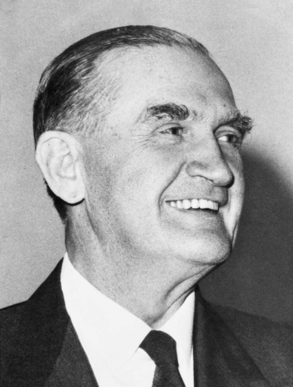
Sir Charles Gavan Duffy, KCMG, PC (12 April 1816 – 9 February 1903), was an Irish poet and journalist (editor of ''The Nation''), Young Irelander and tenant-rights activist. After emigrating to Australia in 1856 he entered the politics of Victoria on a platform of land reform, and in 1871–1872 served as the colony's 8th Premier. Ireland Early life and career Duffy was born at No. 10 Dublin Street in Monaghan Town, County Monaghan, Ireland, the son of a Catholic shopkeeper. He was educated in Belfast at St Malachy's College and in the collegiate department of the Royal Belfast Academical Institution where he studied logic, rhetoric and ''belles-lettres''. One day, when Duffy was aged 18, Charles Hamilton Teeling, a United Irish veteran of the 1798 rising, walked into his mother's house (his father had died when he was 10). Teeling was establishing a journal in Belfast and asked Duffy to accompany him on a round of calls to promote it in Monaghan. Inspired by Teeling's ... [...More Info...] [...Related Items...] OR: [Wikipedia] [Google] [Baidu] |
Towns In Victoria (Australia)
This is a list of locality names and populated place names in the state of Victoria, Australia, outside the Melbourne metropolitan area. It is organised by region from the south-west of the state to the east and, for convenience, is sectioned by Local Government Area (LGA). Localities are bounded areas recorded on VICNAMES, although boundaries are the responsibility of each council. Many localities cross LGA boundaries, some being partly within three LGAs, but are listed here once under the LGA in which the major population centre or area occurs. The Office of Geographic Names (OGN), led by the Registrar of Geographic Names, administers the naming or renaming of localities (as well as roads, and other features) in Victoria, and maintains the Register of Geographic Names, referred as the VICNAMES register, pursuant to the ''Geographic Place Names Act 1998''. The OGN has issued the mandatory ''Naming rules for places in Victoria, Statutory requirements for naming roads, features ... [...More Info...] [...Related Items...] OR: [Wikipedia] [Google] [Baidu] |
Recloser
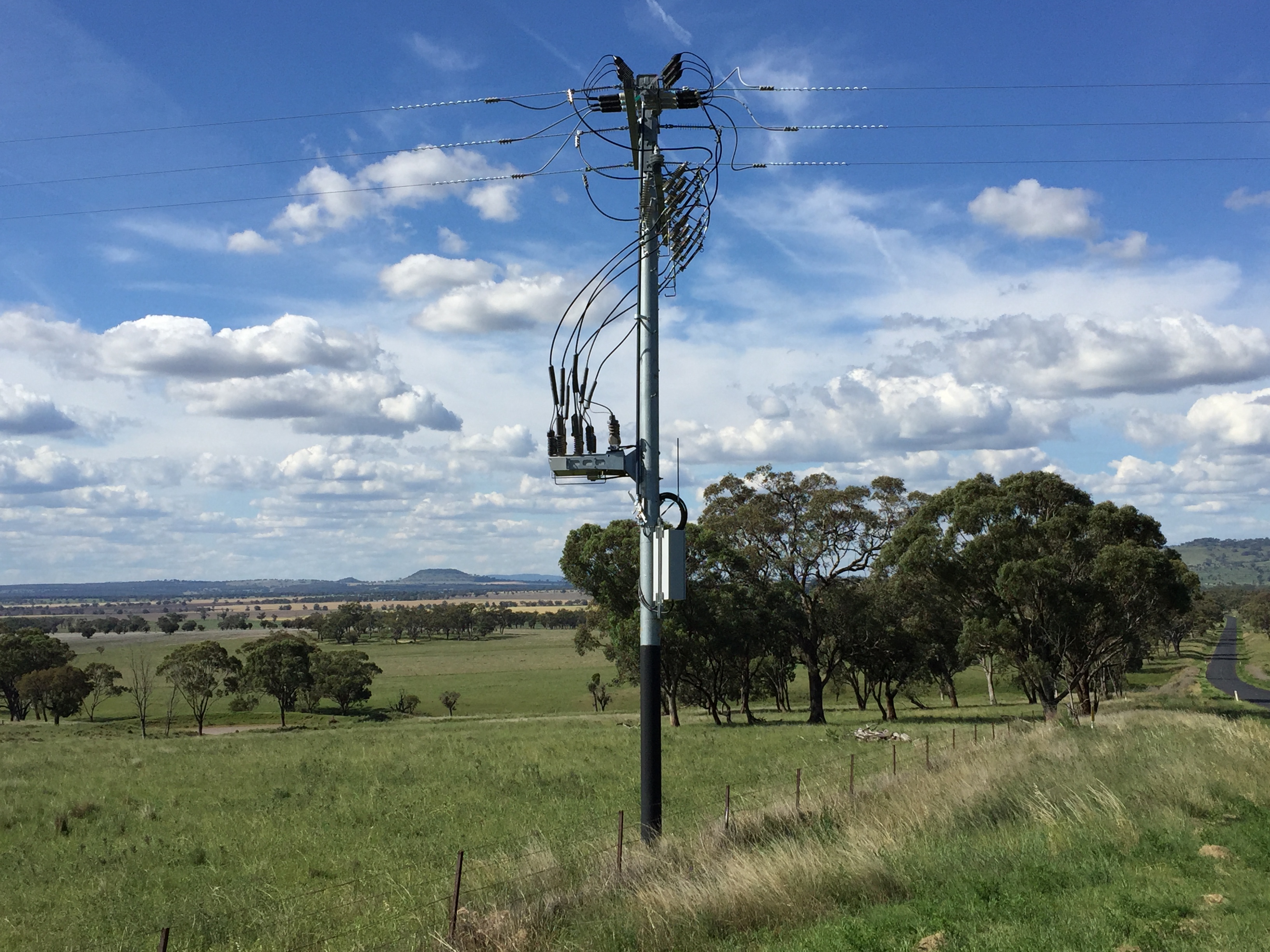
In electric power distribution, automatic circuit reclosers (ACRs) are a class of switchgear designed for use on overhead electricity distribution networks to detect and interrupt transient faults. Also known as reclosers or autoreclosers, ACRs are essentially rated circuit breakers with integrated current and voltage sensors and a protection relay, optimized for use as a protection asset. Commercial ACRs are governed by the IEC 62271-111/IEEE Std C37.60 and IEC 62271-200 standards. The three major classes of operating maximum voltage are 15.5 kV, 27 kV and 38 kV. For overhead electric power distribution networks, up to 80% of faults are transient, such as lightning strike, surges or foreign objects coming into contact with exposed distribution lines. Consequently, these transient faults can be resolved by a simple reclose operation. Reclosers are designed to handle a brief open-close duty cycle, where electrical engineers can optionally configure the number and timing of attem ... [...More Info...] [...Related Items...] OR: [Wikipedia] [Google] [Baidu] |
Kinglake, Victoria
Kinglake is a town in Victoria, Australia, north-east of Melbourne's Central Business District, located within the Shires of Murrindindi and Nillumbik local government areas. Kinglake recorded a population of 1,662 at the 2021 census. The town was one of the worst affected during the Black Saturday bushfires in 2009. Location Kinglake, comprising forest, farmland, a national park and a township, is located north east of Melbourne, in the Kinglake Ranges, part of the Great Dividing Range. The Kinglake Ranges vary in height from above sea level. Many areas of Kinglake overlook the Melbourne skyline to the south west and the Yarra Valley wineries to the south, with views of Port Phillip Bay south of Melbourne possible on clear days. Kinglake is generally colder than Metropolitan Melbourne, with the summers being very pleasant and heavy frosts and occasional snowfalls during winter. History Gold was discovered in 1861 on Mount Slide to the east of the locality at an ... [...More Info...] [...Related Items...] OR: [Wikipedia] [Google] [Baidu] |
Wandong, Victoria
Wandong is a town in Victoria, Australia. The town is about north of the state capital, Melbourne, on the Hume Highway. It adjoins the town of Heathcote Junction, and at the , the two towns had a population of 1,340. The main centre nearest Wandong is Kilmore. History The traditional owners of Wandong are the Taungurong people, a part of the Kulin nation that inhabited a large portion of central Victoria including Port Phillip Bay and its surrounds. Wandong itself is an Aboriginal word meaning "Spirit". The first Europeans to reach Wandong were Hamilton Hume and Captain William Hilton Hovell who travelled through the centre of the future town of Wandong on the 13th December, 1824. The explorers proceeded 1260 metres South of Arkell’s Lane, Wandong and crossed the Dividing Range at the low peak there that they named Hume’s Pass. They then moved South along Eastern Ridge, Hidden Valley, and downhill to the Merri Creek, Wallan East near Kelby Lane. That made Wandong th ... [...More Info...] [...Related Items...] OR: [Wikipedia] [Google] [Baidu] |
Black Saturday Bushfires
The Black Saturday bushfires were a series of bushfires that either ignited or were already burning across the Australian state of Victoria on and around Saturday, 7 February 2009, and were among Australia's all-time worst bushfire disasters. The fires occurred during extreme bushfire weather conditions and resulted in Australia's highest-ever loss of human life from a bushfire, with 173 fatalities. Many people were left homeless as a result. As many as 400 individual fires were recorded on Saturday 7 February; the day has become widely referred to in Australia as Black Saturday. The 2009 Victorian Bushfires Royal Commission, headed by Justice Bernard Teague, was held in response to the bushfires. Background A week before the fires, a significant heatwave affected southeastern Australia. From 28–30 January, Melbourne broke temperature records by experiencing three consecutive days above , with the temperature peaking at on 30 January, the third hottest day in the city' ... [...More Info...] [...Related Items...] OR: [Wikipedia] [Google] [Baidu] |
Bluestone
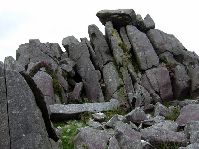
Bluestone is a cultural or commercial name for a number of dimension or building stone varieties, including: * basalt in Victoria, Australia, and in New Zealand * dolerites in Tasmania, Australia; and in Britain (including Stonehenge) * feldspathic sandstone in the US and Canada * limestone in the Shenandoah Valley in the US, from the Hainaut quarries in Soignies, Belgium, and from quarries in County Carlow, County Galway and County Kilkenny in Ireland * slate in South Australia Stonehenge The term "bluestone" in Britain is used in a loose sense to cover all of the "foreign," not intrinsic, stones and rock debris at Stonehenge. It is a "convenience" label rather than a geological term, since at least 46 different rock types are represented. One of the most common rocks in the assemblage is known as Preseli Spotted Dolerite—a chemically altered igneous rock containing spots or clusters of secondary minerals replacing plagioclase feldspar. It is a medium grained dark and ... [...More Info...] [...Related Items...] OR: [Wikipedia] [Google] [Baidu] |
Premier Of Victoria
The premier of Victoria is the head of government in the Australian state of Victoria. The premier is appointed by the governor of Victoria, and is the leader of the political party able to secure a majority in the Victorian Legislative Assembly. Responsible government came to the colony of Victoria in 1855. Between 1856 and 1892, the head of the government was commonly called the premier or the prime minister, but neither title had any legal basis. The head of government always held another portfolio, usually Chief Secretary or Treasurer, for which they were paid a salary. The first head of government to hold the title of premier without holding another portfolio was William Shiels in 1892. Premiers of Victoria who have served for more than 3,000 days have a statue installed at Treasury Place. Four Victorian premiers have been afforded this honour: Albert Dunstan, Henry Bolte, Rupert Hamer and John Cain Junior. Every Premier of Victoria since 1933 (with the exception of Ian ... [...More Info...] [...Related Items...] OR: [Wikipedia] [Google] [Baidu] |
Electoral District Of Euroa
The electoral district of Euroa is an electoral district of the Victorian Legislative Assembly in Australia. It was created in the redistribution of electoral boundaries in 2013. It was a new district created due to the abolition of the districts of Seymour, Rodney and Benalla, taking in the areas to the north of these districts toward Shepparton. It includes the towns of Benalla, Violet Town, Euroa, Seymour, Heathcote, Nagambie, Rushworth and other towns in the Campaspe, Strathbogie, Benalla and Mitchell local government areas. Euroa is estimated to be a safe Nationals seat with a margin of 13.6%. Stephanie Ryan retained it for the Nationals and picked up a small swing in her favour even as the Coalition A coalition is a group formed when two or more people or groups temporarily work together to achieve a common goal. The term is most frequently used to denote a formation of power in political or economical spaces. Formation According to ''A Gui ... lost government. M ... [...More Info...] [...Related Items...] OR: [Wikipedia] [Google] [Baidu] |
Division Of McEwen
The Division of McEwen is an Australian Electoral Division in the state of Victoria. Classed as a rural seat, the electorate is located in the centre of the state, north of its capital city Melbourne. It includes the outer northern suburbs of Doreen, Mernda, and Wollert, and extends along the Hume Freeway north of the metropolitan area to include the towns of Gisborne as well as Wallan as well as many other small towns. Geography Since 1984, federal electoral division boundaries in Australia have been determined at redistributions by a redistribution committee appointed by the Australian Electoral Commission. Redistributions occur for the boundaries of divisions in a particular state, and they occur every seven years, or sooner if a state's representation entitlement changes or when divisions of a state are malapportioned. History The Division was proclaimed at the redistribution of 14 September 1984, and was first contested at the 1984 federal election. It was named aft ... [...More Info...] [...Related Items...] OR: [Wikipedia] [Google] [Baidu] |


.png)


