|
Kilmallie
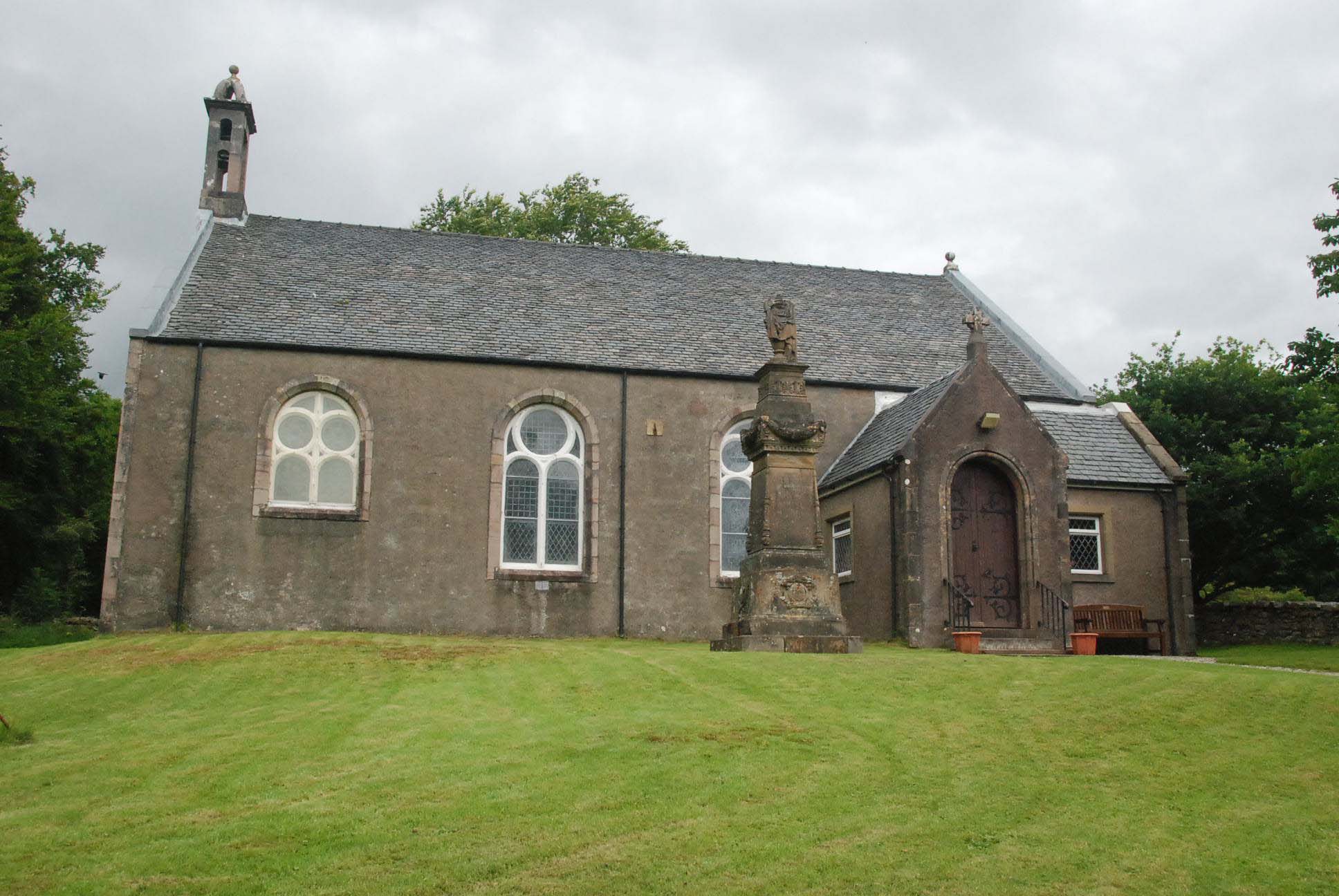
Kilmallie ( gd, Cill Mhàilidh) is a civil parish in Lochaber, in the west highlands of Scotland. It is centered on the village of Caol, near Fort William and extends to Banavie and Corpach. It gives its name to the local shinty club, Kilmallie Shinty Club as well as two local churches, Kilmallie Free Church of Scotland and Kilmallie Parish Church of Scotland. Somerled MacMillan says that "In 1296, the English spelling of Kilmallie was Kilmalyn,.. the Anglicized form of the Gaelic Cill-Maolan (Church of the little tonsured one..) Kilmallie.. derived its name from ''Maolan'', progenitor of the Clan MacMillan." According to WJ Watson, "A saint called ''Màillidh'' is commemorated in ''Cill Mhàillidh''..Kilmallie .. the largest parish in Scotland. About eight miles away.. is Glen Mallie... There is also ''Dail Mhàillidh'', Dalmally Dalmally (Scottish Gaelic: ''Clachan an Dìseirt'' or ''Dail Mhàilidh'') is a village in Argyll and Bute, Scotland. It is near the A85 road and is se ... [...More Info...] [...Related Items...] OR: [Wikipedia] [Google] [Baidu] |
Kilmallie Shinty Club
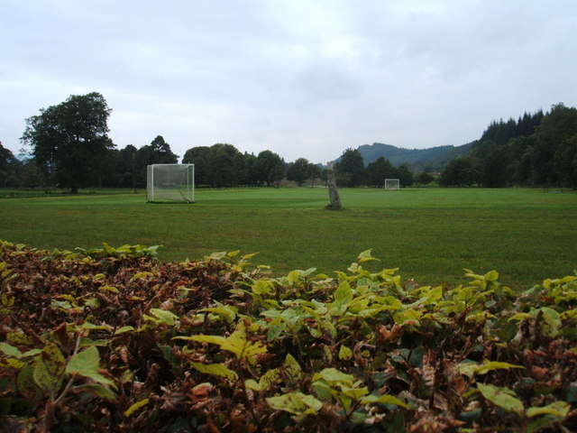
Kilmallie Shinty Club is a shinty team from Caol, Fort William, Scotland. The club most recently achieved prominence in the all-Fort William Camanachd Cup Final in 2005. History The club was founded in 1929 and is named after the parish of Kilmallie, within which the team plays. They were given a pitch at Corpach by James Weir of Annat Farm, where games took place until the pulp mill opened and they relocated to Canal Parks in Caol. The club has never folded or amalgamated with another club. Having won the MacGillvary Senior League in 1959 and 1960, the club won the Camanachd Cup in 1964 against Inveraray in Fort William but then fell on hard times, falling as low as North Division Four. The club slowly made progress from this low ebb by a concentration on youth policy and they climbed the leagues and are now a fixture in the Premier Division. The club then reached the Camanachd Cup Final in 2005 where they were defeated 3–2 by Fort William Shinty Club at An Aird, ... [...More Info...] [...Related Items...] OR: [Wikipedia] [Google] [Baidu] |
Caol
Caol ( Gaelic: ''An Caol'') is a village near Fort William, in the Highland council area of Scotland. It is about north of Fort William town centre, on the shore of Loch Linnhe, and within the parish of Kilmallie. The name "Caol" is from the Gaelic for "narrow", in this case the narrow water between Loch Linnhe and Loch Eil. The Caledonian Canal passes by to the north-west of Caol, while the Great Glen Way The Great Glen Way ( gd, Slighe a' Ghlinne Mhòir) is a long distance path in Scotland. It follows the Great Glen, running from Fort William in the southwest to Inverness in the northeast, covering . It was opened in 2002, and is designated as ... long distance footpath passes through the village before following the canal towpath. The village is largely residential, and has three primary schools, Caol Primary School, St Columba's R.C Primary School and Bun-sgoil Ghàidhlig Loch Abar The local shinty team is Kilmallie Shinty Club, who play at Canal Park in the we ... [...More Info...] [...Related Items...] OR: [Wikipedia] [Google] [Baidu] |
Lochaber
Lochaber ( ; gd, Loch Abar) is a name applied to a part of the Scottish Highlands. Historically, it was a provincial lordship consisting of the parishes of Kilmallie and Kilmonivaig, as they were before being reduced in extent by the creation of ''Quoad Sacra'' parishes in the 19th century. Lochaber once extended from the Northern shore of Loch Leven, a district called Nether Lochaber, to beyond Spean Bridge and Roybridge, which area is known as Brae Lochaber or ''Braigh Loch Abar'' in Gaelic. Lochaber is now also used to refer to a much wider area, one of the 16 ward management areas of the Highland Council of Scotland and one of eight former local government districts of the two-tier Highland region. The main town of Lochaber is Fort William. According to legend, a glaistig, a ghostly woman-goat hybrid, once lived in the area. Name William Watson outlined two schools of thought on this topic. He favoured the idea that ''Abar'' came from the Pictish and Welsh for "river m ... [...More Info...] [...Related Items...] OR: [Wikipedia] [Google] [Baidu] |
Fort William, Scotland
Fort William ( gd, An Gearasdan ; "The Garrison") formerly ( gd, Baile Mairi) and ( gd, Gearasdan dubh Inbhir-Lochaidh) (Lit. "The Black Garrison of Inverlochy"), ( sco, The Fort), formerly ( sco, Maryburgh) is a town in Lochaber in the Scottish Highlands, located on the eastern shore of Loch Linnhe. At the 2011 census, Fort William had a population of 10,459, making it the second largest settlement in both the Highland council area, and the whole of the Scottish Highlands; only the city of Inverness has a larger population. Fort William is a major tourist centre on the Road to the Isles, with Glen Coe just to the south, to the east, and Glenfinnan to the west. It is a centre for hillwalking and climbing due to its proximity to Ben Nevis and many other Munro mountains. It is also known for its nearby downhill mountain bike track. It is the start/end of both the West Highland Way (Milngavie – Fort William) and the Great Glen Way (a walk/cycle way Fort William–Inverness). ... [...More Info...] [...Related Items...] OR: [Wikipedia] [Google] [Baidu] |
Banavie
Banavie (; gd, Banbhaidh) is a small settlement near Fort William in the Highland Council Area of Scotland. One of the closest villages to Ben Nevis, it is about northeast of Fort William town centre, next to Caol and Corpach. It has been suggested that Banavie is one of the possible birth places of Saint Patrick. One theory is that Patrick was the son of a Roman tax collector and born at Banavie around AD 389. His family had come with the Romans who had invaded the West Highlands and Islands. The 19th century work 'History of Celtic Placenames' by William J. Watson notes: "St Patrick was born at Banna-venta, an early town south of the Grampians." A similar placename, ''Bannavem Taburniae'', is mentioned in one of the only two known authenticated letters by St Patrick. It was formerly where the Camanachd Association, the ruling body of shinty was based, but this has now been moved to Inverness. Banavie railway station is on the highly scenic West Highland Line. The signallin ... [...More Info...] [...Related Items...] OR: [Wikipedia] [Google] [Baidu] |
Parish
A parish is a territorial entity in many Christian denominations, constituting a division within a diocese. A parish is under the pastoral care and clerical jurisdiction of a priest, often termed a parish priest, who might be assisted by one or more curates, and who operates from a parish church. Historically, a parish often covered the same geographical area as a manor. Its association with the parish church remains paramount. By extension the term ''parish'' refers not only to the territorial entity but to the people of its community or congregation as well as to church property within it. In England this church property was technically in ownership of the parish priest ''ex-officio'', vested in him on his institution to that parish. Etymology and use First attested in English in the late, 13th century, the word ''parish'' comes from the Old French ''paroisse'', in turn from la, paroecia, the latinisation of the grc, παροικία, paroikia, "sojourning in a foreign ... [...More Info...] [...Related Items...] OR: [Wikipedia] [Google] [Baidu] |
Scotland
Scotland (, ) is a country that is part of the United Kingdom. Covering the northern third of the island of Great Britain, mainland Scotland has a border with England to the southeast and is otherwise surrounded by the Atlantic Ocean to the north and west, the North Sea to the northeast and east, and the Irish Sea to the south. It also contains more than 790 islands, principally in the archipelagos of the Hebrides and the Northern Isles. Most of the population, including the capital Edinburgh, is concentrated in the Central Belt—the plain between the Scottish Highlands and the Southern Uplands—in the Scottish Lowlands. Scotland is divided into 32 administrative subdivisions or local authorities, known as council areas. Glasgow City is the largest council area in terms of population, with Highland being the largest in terms of area. Limited self-governing power, covering matters such as education, social services and roads and transportation, is devolved from the Scott ... [...More Info...] [...Related Items...] OR: [Wikipedia] [Google] [Baidu] |
Corpach
Corpach ( gd, A' Chorpaich) is a large village north of Fort William, in the Scottish Highlands. The canal lock at Corpach Basin on Loch Linnhe, east of the narrows leading to Loch Eil, is the western sea entrance of the Caledonian Canal. It is a natural harbour, unlike Fort William. History The name Corpach is reputedly based on the Gaelic for "field of corpses", so called because it was perhaps used as a resting place when taking coffins of chieftains on the way to burial on Iona. The Battle of Corpach in about 1470 saw Clan Cameron rout Clan MacLean. In World War I, the United States Navy had a base at Corpach as part of the laying of the North Sea Mine Barrage. Naval mines were shipped into Corpach from the United States, and were then sent to the Inverness base along the Caledonian Canal, which joins Loch Linnhe at Corpach. During World War II, Corpach was the engineering base for HMS ''St Christopher'' which was a training base for Royal Navy Coastal Forces Coast ... [...More Info...] [...Related Items...] OR: [Wikipedia] [Google] [Baidu] |
Shinty
Shinty ( gd, camanachd, iomain) is a team game played with sticks and a ball. Shinty is now played mainly in the Scottish Highlands and amongst Highland migrants to the big cities of Scotland, but it was formerly more widespread in Scotland, and was even played in northern England into the second half of the 20th century and other areas in the world where Scottish Highlanders migrated. While comparisons are often made with field hockey the two games have several important differences. In shinty a player is allowed to play the ball in the air and is allowed to use both sides of the stick, called a ''caman'', which is wooden and slanted on both sides. The stick may also be used to block and to tackle, although a player may not come down on an opponent's stick, a practice called hacking. Players may also tackle using the body as long as it is shoulder-to-shoulder. The game was derived from the same root as the Irish game of hurling and the Welsh game of bando, but has developed un ... [...More Info...] [...Related Items...] OR: [Wikipedia] [Google] [Baidu] |
Dalmally
Dalmally (Scottish Gaelic: ''Clachan an Dìseirt'' or ''Dail Mhàilidh'') is a village in Argyll and Bute, Scotland. It is near the A85 road and is served by Dalmally railway station. Former Labour Party leader John Smith was born in Dalmally in 1938. The village is the location of the Craig Lodge Community Family House of Prayer, a Roman Catholic retreat house. The charity Scottish International Relief, also known as Mary's Meals, is based in Dalmally. Glenorchy Camanachd, a shinty team, play their home games in the village at Mart Park. Historic buildings Glenorchy Parish Church stands on an island site between the rivers Orchy and Orchy Bheag near the village. The category A listed building, constructed 1810–11 on the site of at least two earlier churches, is a rare example of an octagonal plan with adjoining tower. The little-altered, white-harled (roughcast) church has been restored to its original appearance in recent years. The site is probably early Christian in ori ... [...More Info...] [...Related Items...] OR: [Wikipedia] [Google] [Baidu] |


