|
Kate's Bridge
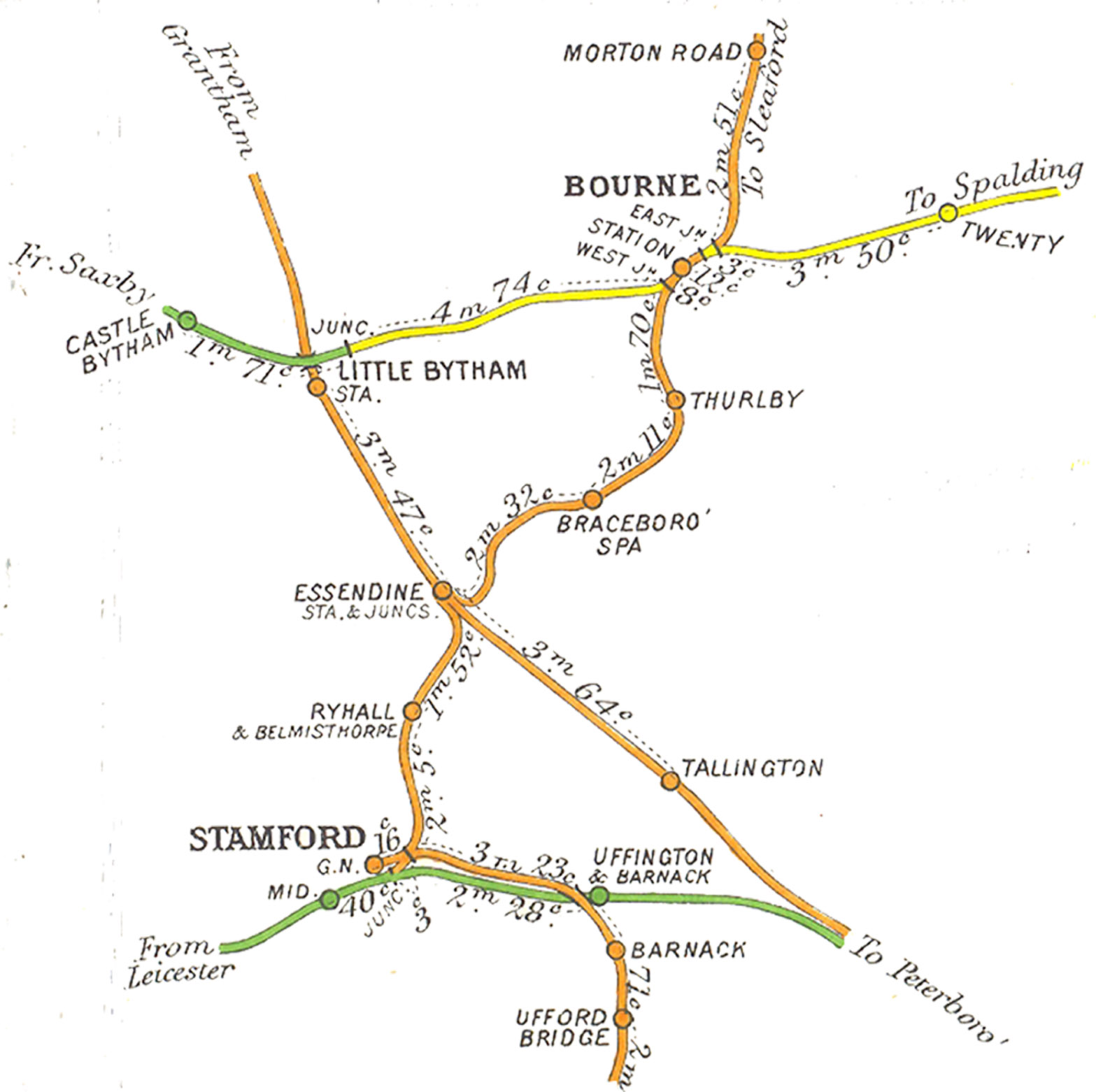
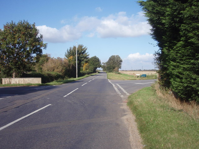
Kates Bridge is a landmark settlement on the A15 road, in the parish of Thurlby. It is approximately south from Bourne, Lincolnshire, England. Today, Kates Bridge consists of little more than three bridges, a petrol filling station, tractor dealership, five houses, and a farm. History In the early 20th century, people from nearby villages found employment in the brickyard. Before then, it was the head of navigation on the River Glen. Lying close to the A 15's junction with the modern King Street is where the Roman road crossed the Glen. This was the only section of river bed with a solid rock bottom thus a safe point to ford before the bridge was built. The name comes from a time when fords were more commonplace than bridges. During the thirteenth century this area was passed between two bishops as 'Caterbrig'. However, the other side of the river was known by the Anglo-Saxon name, Thetford (public ford), a name retained in Thetford House. Because of this nomenclature, a Rom ... [...More Info...] [...Related Items...] OR: [Wikipedia] [Google] [Baidu] |
South Kesteven
South Kesteven is a Non-metropolitan district, local government district in Lincolnshire, England, forming part of the traditional Kesteven division of the county. It covers Bourne, Lincolnshire, Bourne, Grantham, Market Deeping and Stamford, Lincolnshire, Stamford. The 2011 census reports 133,788 people at 1.4 per hectare in 57,344 households. The district borders the counties of Cambridgeshire, Leicestershire, Northamptonshire, Nottinghamshire and Rutland. It is also bounded by the Lincolnshire districts of North Kesteven and South Holland, Lincolnshire, South Holland. History The district was formed on 1 April 1974, under the Local Government Act 1972, from the municipal boroughs of Grantham and Stamford, along with Bourne Urban District, South Kesteven Rural District, and West Kesteven Rural District. Previously the district was run by Kesteven County Council, based in Sleaford. Geography South Kesteven borders North Kesteven to the north, as far east as Horbling, where the ... [...More Info...] [...Related Items...] OR: [Wikipedia] [Google] [Baidu] |
Lincolnshire
Lincolnshire (abbreviated Lincs.) is a county in the East Midlands of England, with a long coastline on the North Sea to the east. It borders Norfolk to the south-east, Cambridgeshire to the south, Rutland to the south-west, Leicestershire and Nottinghamshire to the west, South Yorkshire to the north-west, and the East Riding of Yorkshire to the north. It also borders Northamptonshire in the south for just , England's shortest county boundary. The county town is Lincoln, where the county council is also based. The ceremonial county of Lincolnshire consists of the non-metropolitan county of Lincolnshire and the area covered by the unitary authorities of North Lincolnshire and North East Lincolnshire. Part of the ceremonial county is in the Yorkshire and the Humber region of England, and most is in the East Midlands region. The county is the second-largest of the English ceremonial counties and one that is predominantly agricultural in land use. The county is fourth-larg ... [...More Info...] [...Related Items...] OR: [Wikipedia] [Google] [Baidu] |
Grantham And Stamford (UK Parliament Constituency)
Grantham and Stamford is a constituency represented in the House of Commons of the UK Parliament by Gareth Davies, a Conservative. Boundaries 1997–2010: The District of South Kesteven wards of All Saints, Aveland, Barrowby, Belmont, Bourne East, Bourne West, Casewick, Devon, Earlesfield, Forest, Glen Eden, Grantham St John's, Greyfriars, Harrowby, Hillsides, Isaac Newton, Lincrest, Morkery, Peascliffe, Ringstone, St Anne's, St George's, St Mary's, St Wulfram's, Stamford St John's, and Toller. Since 2010: The District of South Kesteven wards of All Saints, Aveland, Belmont, Bourne East, Bourne West, Earlesfield, Forest, Glen Eden, Grantham St John's, Green Hill, Greyfriars, Harrowby, Hillsides, Isaac Newton, Lincrest, Morkery, Ringstone, St Anne's, St George's, St Mary's, St Wulfram's, Stamford St John's, Thurlby, Toller, and Truesdale. The constituency covers the towns Grantham and Stamford in Lincolnshire with surrounding villages. Most of the constituency was formerly ... [...More Info...] [...Related Items...] OR: [Wikipedia] [Google] [Baidu] |
Landmark
A landmark is a recognizable natural or artificial feature used for navigation, a feature that stands out from its near environment and is often visible from long distances. In modern use, the term can also be applied to smaller structures or features, that have become local or national symbols. Etymology In old English the word ''landmearc'' (from ''land'' + ''mearc'' (mark)) was used to describe a boundary marker, an "object set up to mark the boundaries of a kingdom, estate, etc.". Starting from approx. 1560, this understanding of landmark was replaced by a more general one. A landmark became a "conspicuous object in a landscape". A ''landmark'' literally meant a geographic feature used by explorers and others to find their way back or through an area. For example, the Table Mountain near Cape Town, South Africa is used as the landmark to help sailors to navigate around southern tip of Africa during the Age of Exploration. Artificial structures are also sometimes built to a ... [...More Info...] [...Related Items...] OR: [Wikipedia] [Google] [Baidu] |
A15 Road (Great Britain)
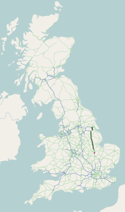
The A15 is a major road in England. It runs north from Peterborough via Market Deeping, Bourne, Sleaford and Lincoln along a variety of ancient, Roman, and Turnpike alignments before it is interrupted at its junction with the M180 near Scawby. The road restarts east, and then continues north past Barton-upon-Humber, crossing the Humber on the Humber Bridge before terminating at Hessle near Kingston upon Hull. Driving conditions According to the AA, the route is long, and should take 2 hours. Norman Cross to Bourne takes 33 minutes, Bourne to Lincoln takes 46 minutes, and Lincoln to the Humber Bridge takes 54 minutes. A section of the A15 (between Scampton and the M180) provides the longest stretch of straight road in the UK. Route Peterborough The A15 is Peterborough's main connecting road from the south to the A1(M), joining near Stilton, at Norman Cross. It begins as ''London Road'' at junction 16 of the A1(M) with the B1043 (former A1) in Cambridgeshire and the ... [...More Info...] [...Related Items...] OR: [Wikipedia] [Google] [Baidu] |
Thurlby, South Kesteven
Thurlby is a village and civil parish in the South Kesteven district of Lincolnshire, England. It is situated just west of the A15 road, south from the town of Bourne, and on the edge of the Lincolnshire Fens. It is sometimes referred to as ''Thurlby by Bourne'' to distinguish it from other villages in Lincolnshire with the same name. Thurlby and the hamlet of Northorpe to its north are conjoined. The parish had a population of 2,136 at the 2001 census and 2,153 at the 2011 census. History The Roman Car Dyke passes through the parish to the east of the road. The A15 road itself broadly follows the route of the Roman Road King street. The church of St Firmin dates back to before the Norman Conquest, reportedly to 925 AD. It has features of Saxo-Norman and Perpendicular style. Thurlby is mentioned in the 1086 '' Domesday'' survey as "Tvrolvebi", "Tvrodldbi", "Torulfbi" and "Turoluebi". A Methodist chapel, Trinity Methodist Church, was established in 1912. Thurlby ... [...More Info...] [...Related Items...] OR: [Wikipedia] [Google] [Baidu] |
Bourne, Lincolnshire
Bourne is a market town and civil parish in the South Kesteven district of Lincolnshire, England. It lies on the eastern slopes of the limestone Kesteven Uplands and the western edge of the Fens, 11 miles (18 km) north-east of Stamford, 12 miles (19 km) west of Spalding and 17 miles (27 km) north of Peterborough. The population at the 2011 census was 14,456. A 2019 estimate put it at 16,780. History The Ancient Woodland of Bourne Woods is still extant, although much reduced. It originally formed part of the ancient Forest of Kesteven and is now managed by the Forestry Commission. The earliest documentary reference to ''Brunna'', meaning stream, is from a document of 960, and the town appeared in Domesday Book of 1086 as ''Brune''. Bourne Abbey, (charter 1138), formerly held and maintained land in Bourne and other parishes. In later times this was known as the manor of Bourne Abbots. Whether the canons knew that name is less clear. The estate was given by the founder of the ... [...More Info...] [...Related Items...] OR: [Wikipedia] [Google] [Baidu] |
River Glen, Lincolnshire
The River Glen is a river in Lincolnshire, England with a short stretch passing through Rutland near Essendine. The river's name appears to derive from a Brythonic Celtic language but there is a strong early English connection. Naming In the language of the Ancient Britons, which survives today as Welsh, Cornish and Breton, the neighbouring rivers, the Glen and the Welland seem to have been given contrasting names. The Welland flowed from the area underlain by the Northampton Sands which in many places are bound together by iron oxide to form ironstone. In the Roman period, the sands were easily worked as arable land and the ironstone was dug for smelting. In both cases, the ground was exposed to erosion which meant that silt was carried down to The Fens by the river. In modern Welsh, ''gwaelod'' (from Late Proto-British ''*Woelǫd-'') means bottom and its plural, ''gwaelodion'' means sediment. Among the medieval forms of the name 'Welland' is Weolod; the river could have th ... [...More Info...] [...Related Items...] OR: [Wikipedia] [Google] [Baidu] |
King Street (Roman Road)
King Street is the name of a modern road on the line of a Roman road. It runs on a straight course in eastern England, between the City of Peterborough and South Kesteven in Lincolnshire. This English name has long been applied to the part which is still in use and which lies between Ailsworth Heath, in the south and Kate's Bridge, in the north. The old road continued to Bourne thence north-westwards to join Ermine Street south of Ancaster. This part of Ermine Street is called High Dike. In the south, King Street joined Ermine Street close to the River Nene, north of '' Durobrivae''. The whole is I. D. Margary's Roman road number 26. (Margary pp. 232–234) Route Archaeological work has revealed more of its length than is in use nowadays. Its course is regarded as having run from the boundary between Ailsworth and Castor, at the north-west corner of Normangate Field, just north of the River Nene (TL113980). This is where it left the Roman Ermine Street, north-west of ... [...More Info...] [...Related Items...] OR: [Wikipedia] [Google] [Baidu] |
Thetford, Lincolnshire
Thetford is a hamlet and farm in the civil parish of Baston in the South Kesteven district of Lincolnshire, England. Although Thetford has shrunken to a single farmhouse and associated outbuildings, this was once a manor of Spalding Priory with its own chapel. There are records of ministers being installed in 1529 and 1539. The present house and barn are Grade II listed buildings. Thetford lies north of the village of Baston and to the south of the River Glen. It is on the line of the Car Dyke, a ditch or catchwater drain dating to the time of the Roman occupation, which is regarded as the western boundary of The Fens. The A15 road This is a list of roads designated A15. Entries are sorted in alphabetical order by name of country. * A015 road (Argentina), a road connecting the junction with National Route 14 at La Criolla and the Salto Grande Dam access-road * ''A15 road (Au ..., that crosses the Glen at Kate's Bridge, runs less than west of Thetford. See also * Kate's Br ... [...More Info...] [...Related Items...] OR: [Wikipedia] [Google] [Baidu] |
Christopher Saxton
Christopher Saxton (c. 1540 – c. 1610) was an English cartographer who produced the first county maps of England and Wales. Life and family Saxton was probably born in Sowood, Ossett in the parish of Dewsbury, in the West Riding of Yorkshire in either 1542 or 1544. His family subsequently moved to the hamlet of Dunningley near Tingley in the parish of Woodkirk where the Saxton name is recorded in 1567. It is speculated that Saxton may have attended the predecessor school to Queen Elizabeth Grammar School, Wakefield and also speculated that he was a student at Cambridge University but neither is corroborated. It is most likely that John Rudd, the vicar of Dewsbury and Thornhill, a keen cartographer passed his skills to Saxton. Saxton married and had three children. Robert, born in 1585, was his father's assistant in 1601 and drew a map of Snapethorpe in Wakefield when it was surveyed by his father. Robert was commissioned to survey Sandal Magna in 1607. Christopher Saxton die ... [...More Info...] [...Related Items...] OR: [Wikipedia] [Google] [Baidu] |
New Bridge At Kate's Bridge - Geograph
New is an adjective referring to something recently made, discovered, or created. New or NEW may refer to: Music * New, singer of K-pop group The Boyz Albums and EPs * ''New'' (album), by Paul McCartney, 2013 * ''New'' (EP), by Regurgitator, 1995 Songs * "New" (Daya song), 2017 * "New" (Paul McCartney song), 2013 * "New" (No Doubt song), 1999 *"new", by Loona from '' Yves'', 2017 *"The New", by Interpol from '' Turn On the Bright Lights'', 2002 Acronyms * Net economic welfare, a proposed macroeconomic indicator * Net explosive weight, also known as net explosive quantity * Network of enlightened Women, a conservative university women's organization * Next Entertainment World, a South Korean film distribution company Identification codes * Nepal Bhasa language ISO 639 language code * New Century Financial Corporation (NYSE stock abbreviation) * Northeast Wrestling, a professional wrestling promotion in the northeastern United States Transport * New Orleans Lakefront Ai ... [...More Info...] [...Related Items...] OR: [Wikipedia] [Google] [Baidu] |


